Littlebourne

Civil Parish in Kent Canterbury

England

Littlebourne

Stained glass window, St. Vincent's Church, Littlebourne At the east end of the south aisle. The church of St Vincent of Saragossa dates from the 13th century and is thought to have been founded by the monks of St Augustine's Abbey in Canterbury. It is a Grade I listed building.
Stained glass window, St. Vincent's Church, Littlebourne Credit: pam fray

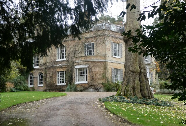
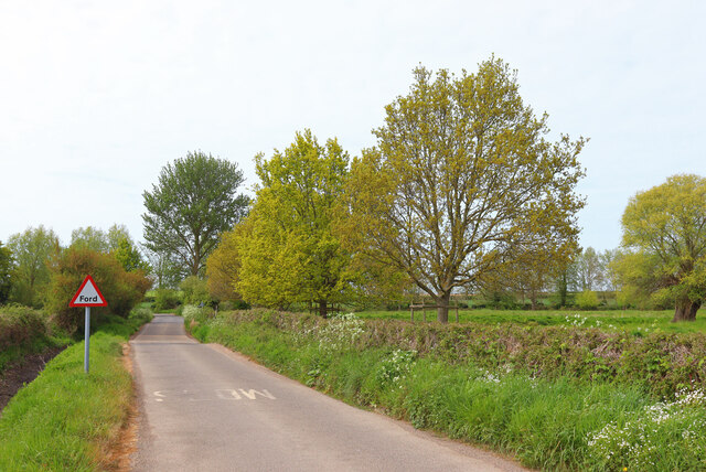
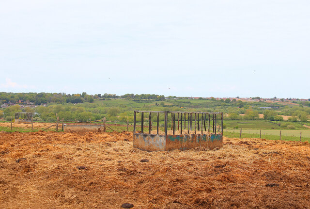
Littlebourne is a civil parish located in the county of Kent, in the southeastern part of England. It is situated about 5 miles east of Canterbury and covers an area of approximately 8 square miles. The village is nestled in the picturesque countryside, surrounded by green fields and rolling hills.

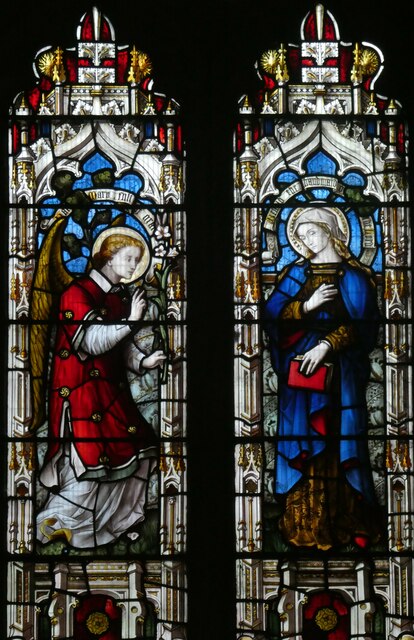
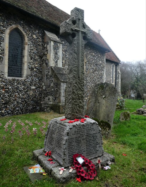
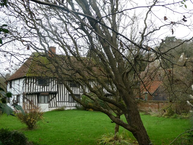
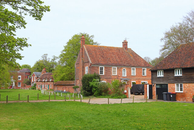
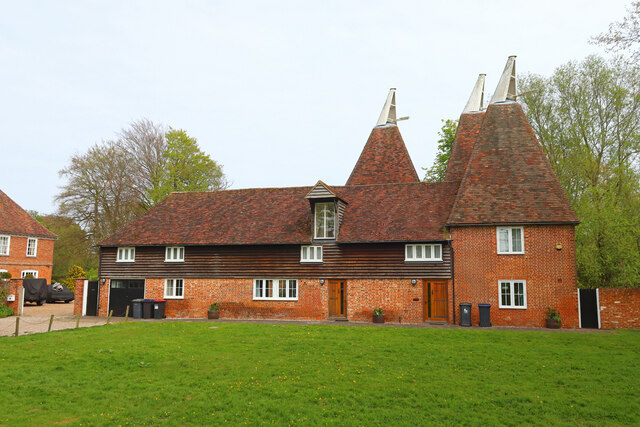
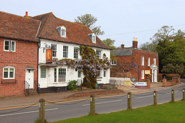
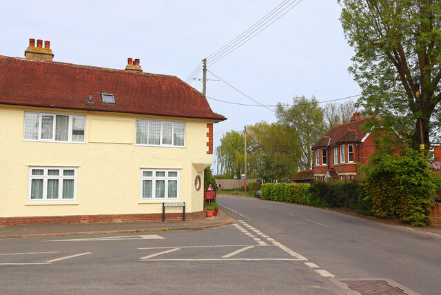
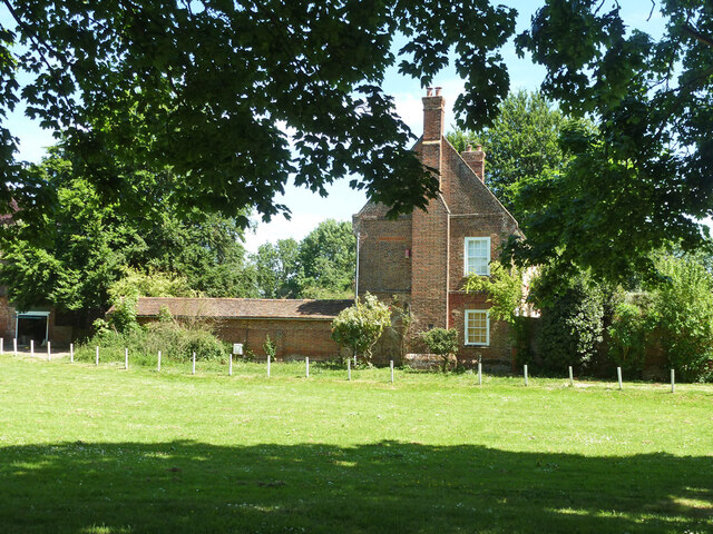
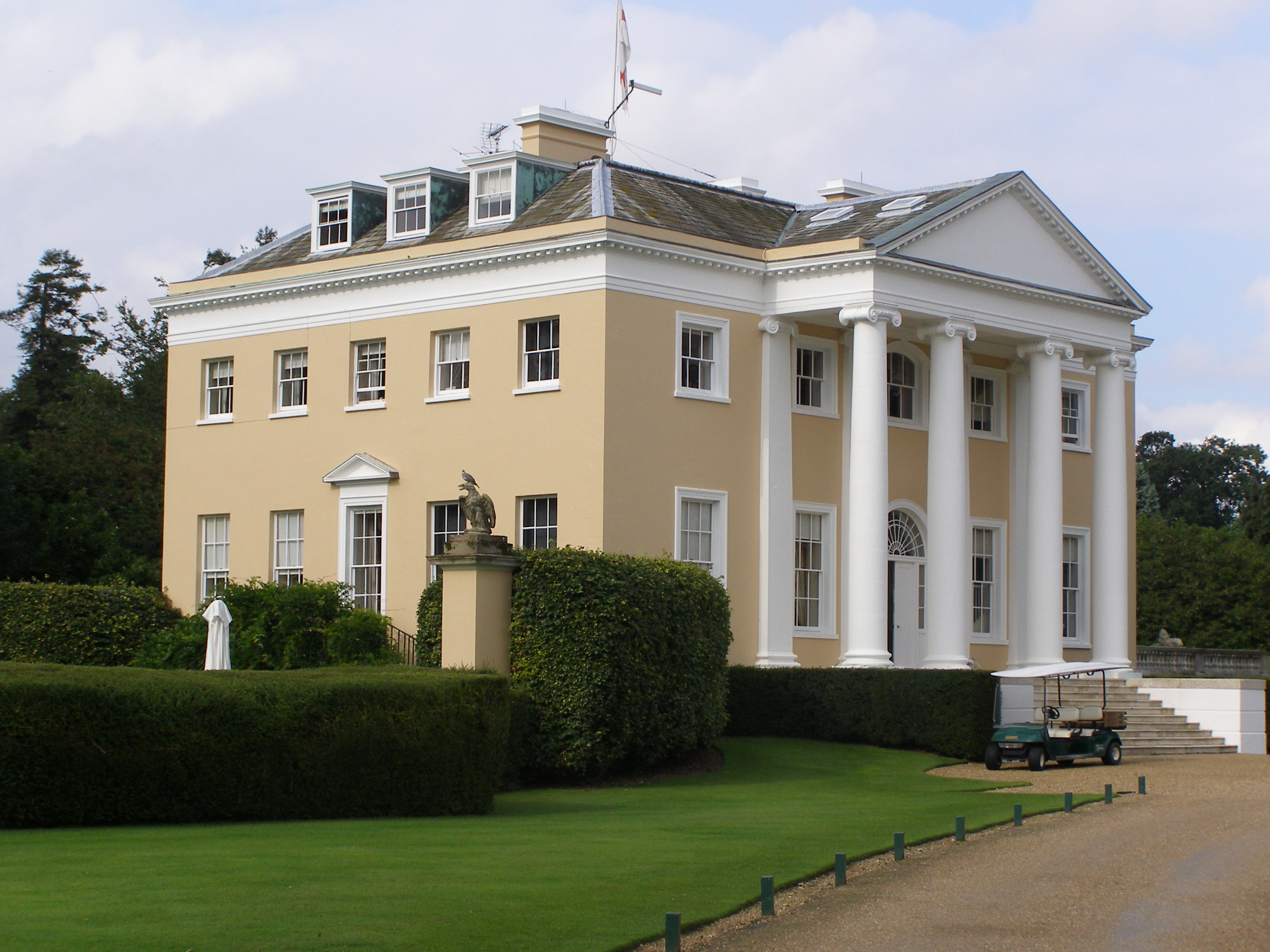
Littlebourne has a population of around 1,200 people and is known for its charming and traditional English village atmosphere. The village is centered around its historic church, St. Vincent's, which dates back to the 12th century and is a prominent landmark in the area. The village also features a handful of traditional thatched cottages, adding to its quaint and idyllic character.

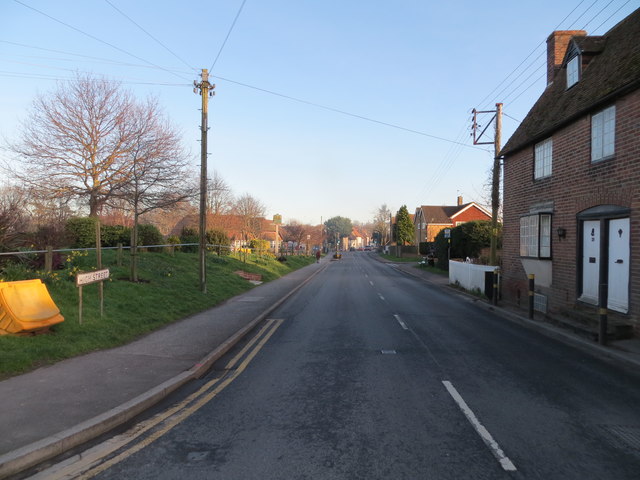
The parish is well-connected to nearby towns and cities, with regular bus services running to Canterbury and other surrounding areas. Additionally, the A2 road, one of the main routes in the region, passes just to the north of Littlebourne, providing easy access to other parts of Kent and beyond.

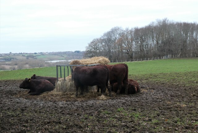
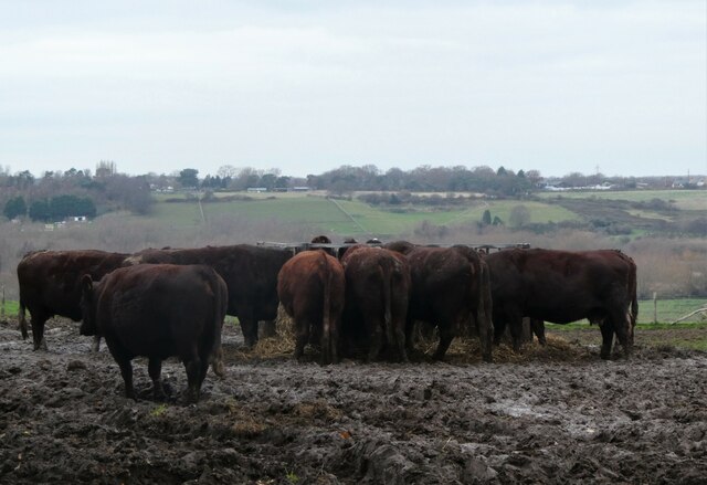
Littlebourne offers a range of amenities for its residents, including a primary school, a village hall, a pub, and a local shop. The village is also surrounded by beautiful countryside, making it a popular destination for outdoor activities such as walking and cycling.

Overall, Littlebourne is a peaceful and charming village in the heart of the Kent countryside, offering a close-knit community and a tranquil setting for its residents and visitors alike.

If you have any feedback on the listing, please let us know in the comments section below.

Littlebourne Images

Images are sourced within 2km of 51.282031/1.151661 or Grid Reference TR1958. Thanks to Geograph Open Source API. All images are credited.

Stained glass window, St. Vincent's Church, Littlebourne At the east end of the south aisle. The church of St Vincent of Saragossa dates from the 13th century and is thought to have been founded by the monks of St Augustine's Abbey in Canterbury. It is a Grade I listed building.
Stained glass window, St. Vincent's Church, Littlebourne
At the east end of the south aisle. The church of St Vincent of Saragossa dates from the 13th century and is thought to have been founded by the monks of St Augustine's Abbey in Canterbury. It is a Grade I listed building.
War memorial, St. Vincent's Church, Littlebourne The church of St Vincent of Saragossa dates from the 13th century and is thought to have been founded by the monks of St Augustine's Abbey in Canterbury. It is a Grade I listed building.
War memorial, St. Vincent's Church, Littlebourne
The church of St Vincent of Saragossa dates from the 13th century and is thought to have been founded by the monks of St Augustine's Abbey in Canterbury. It is a Grade I listed building.
Elbridge Farmhouse, Court Hill, Littlebourne A C15 timber-framed and close-studded hall-house, Grade II* listed.
Elbridge Farmhouse, Court Hill, Littlebourne
A C15 timber-framed and close-studded hall-house, Grade II* listed.
Elbridge House, Littlebourne Situated on Court Hill, built about 1803 by the Denne family. A Grade II listed building.
Elbridge House, Littlebourne
Situated on Court Hill, built about 1803 by the Denne family. A Grade II listed building.
Heifers by Stodmarsh Road, near Littlebourne Looking towards Westbere and Hersden.
Heifers by Stodmarsh Road, near Littlebourne
Looking towards Westbere and Hersden.
Heifers by Stodmarsh Road, near Littlebourne Looking towards Westbere.
Heifers by Stodmarsh Road, near Littlebourne
Looking towards Westbere.
Littlebourne House Green in Littlebourne.
Littlebourne House
Green in Littlebourne.
Footpath near Littlebourne Footpath and power lines with Littlebourne in the distance.
Footpath near Littlebourne
Footpath and power lines with Littlebourne in the distance.
The Oast Holiday accommodation in Littlebourne.
The Oast
Holiday accommodation in Littlebourne.
King William King William Day Centre, in Littlebourne.
King William
King William Day Centre, in Littlebourne.
Nargate Street / Church Road Road Junction in Littlebourne.
Nargate Street / Church Road
Road Junction in Littlebourne.
Drill Lane Ford on Drill Lane, Near Ickham.
Drill Lane
Ford on Drill Lane, Near Ickham.
Field near Elbridge Farm Field used for grazing.
Field near Elbridge Farm
Field used for grazing.
Nargate Street Towards Wickhambreaux.
Nargate Street
Towards Wickhambreaux.
House by the Green, Littlebourne
Ordnance Survey Flush Bracket S6455 This can be found on the wall of a house - private dwelling - in School Path, Littlebourne.
For more detail see : <span class="nowrap"><a title="http://www.bench-marks.org.uk/bm19622" rel="nofollow ugc noopener" href="http://www.bench-marks.org.uk/bm19622">Link</a><img style="margin-left:2px;" alt="External link" title="External link - shift click to open in new window" src="https://s1.geograph.org.uk/img/external.png" width="10" height="10"/></span>
Ordnance Survey Flush Bracket S6455
This can be found on the wall of a house - private dwelling - in School Path, Littlebourne. For more detail see : LinkExternal link
High Street (A257) in Littlebourne Looking south-eastward.
High Street (A257) in Littlebourne
Looking south-eastward.
Cows grazing on footpath Public footpath CB176 to Nargate Street.
Cows grazing on footpath
Public footpath CB176 to Nargate Street.
Show me another place!

Littlebourne is located at Grid Ref: TR1958 (Lat: 51.282031, Lng: 1.151661)

Administrative County: Kent

District: Canterbury

Police Authority: Kent

What 3 Words

///embarks.bespoke.tram. Near Littlebourne, Kent

Related Wikis

Littlebourne

Littlebourne is a village and civil parish 4 miles (6.4 km) east of Canterbury in Kent, South East England. == History == The significant Howletts Anglo...

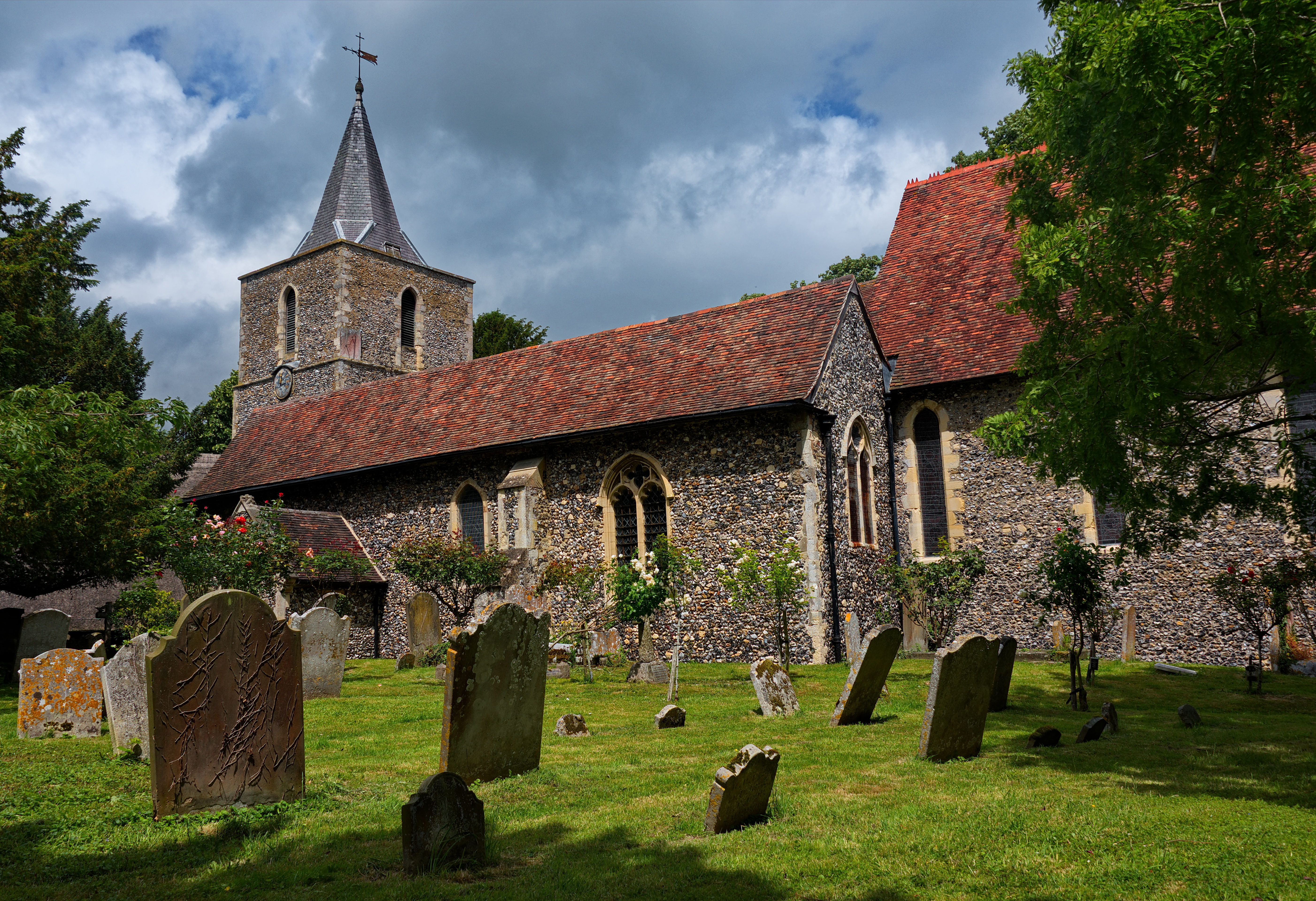
St Vincent of Saragossa Church, Littlebourne

St Vincent of Saragossa's Church is the Church of England parish church of Littlebourne, Kent, England. The parish is part of the Benefice of Littlebourne...

Howletts Wild Animal Park

Howletts Wild Animal Park (formerly known as Howletts Zoo) in the parish of Bekesbourne, near Canterbury in Kent, was established as a private zoo in 1957...

Wickhambreaux

Wickhambreaux ( WIK-əm-brew) is a village and civil parish in the Canterbury district, in the county of Kent, England. The village is just off the A257...

Church of St Mary the Virgin, Fordwich

The Church of St Mary the Virgin is a redundant Anglican church in the small town of Fordwich, Kent, England. It is recorded in the National Heritage...

Fordwich

Fordwich is a market town and a civil parish in east Kent, England, on the River Stour, northeast of Canterbury. It is the smallest community by population...

Fordwich Town Hall

Fordwich Town Hall is a municipal structure in King Street, Fordwich, Kent, England. The structure, which serves as the meeting place of Fordwich Town...

Bekesbourne railway station

Bekesbourne railway station is on the Dover branch of the Chatham Main Line in England, and serves the villages of Bekesbourne and Patrixbourne, Kent....

Nearby Amenities

Located within 500m of 51.282031,1.151661
Crossing: informal
Lat/Long: 51.2852014/1.1479912
Power: pole
Lat/Long: 51.283874/1.1575807
Power: pole
Lat/Long: 51.2857021/1.1536444
Material: wood
Power: pole
Lat/Long: 51.2851935/1.1547238
Material: wood
Power: pole
Lat/Long: 51.2847178/1.1557383
Power: pole
Lat/Long: 51.2842799/1.1566834
Barrier: motorcycle_barrier
Bicycle: yes
Colour: silver
Foot: yes
Horse: no
Material: metal
Lat/Long: 51.2851544/1.1481506
Barrier: stile
Bicycle: no
Foot: yes
Material: wood
Source: survey
Stile: stepover
Lat/Long: 51.2852106/1.1479562
Power: pole
Lat/Long: 51.2811212/1.1580798
Power: pole
Lat/Long: 51.2845008/1.1552248
Power: pole
Lat/Long: 51.2846399/1.1559064
Man Made: tower
Note: Signed as Orange, which eventually became EE
Operator: EE
Ref: 91551
Tower Type: communication
Lat/Long: 51.2831135/1.155159
Barrier: swing_gate
Colour: silver
Material: metal
Lat/Long: 51.285115/1.1480607
The data included in this document is from www.openstreetmap.org. The data is made available under ODbL.

Have you been to Littlebourne?

Leave your review of Littlebourne below (or comments, questions and feedback).