Puxley's Carr
Wood, Forest in Norfolk North Norfolk
England
Puxley's Carr

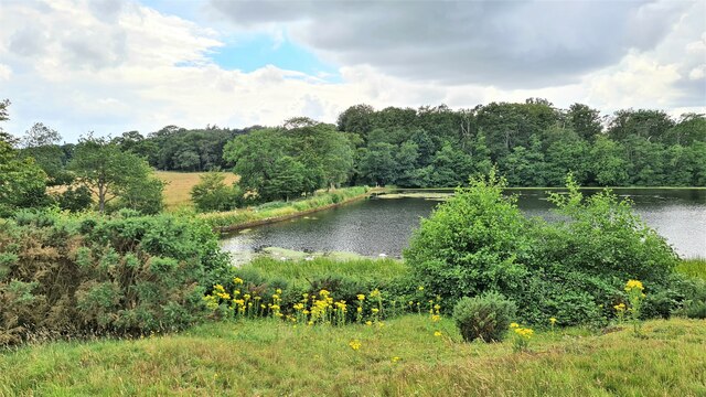
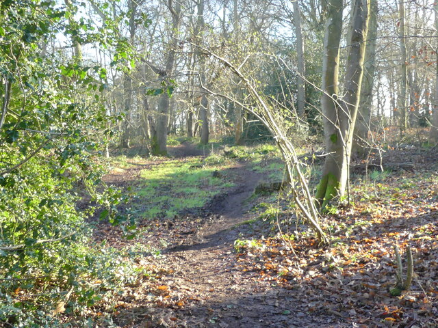
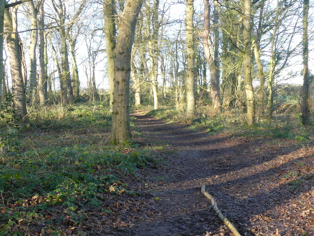
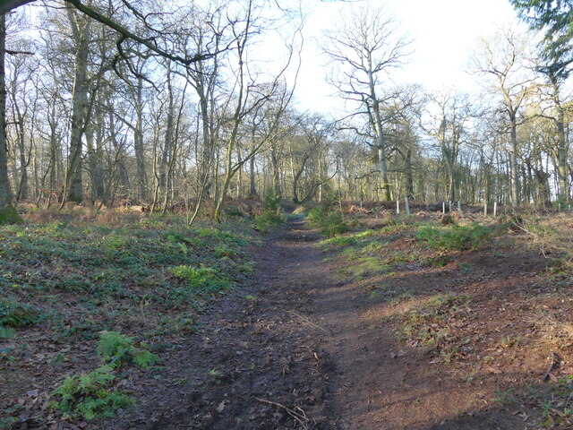
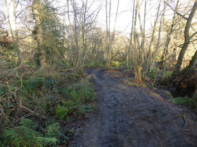
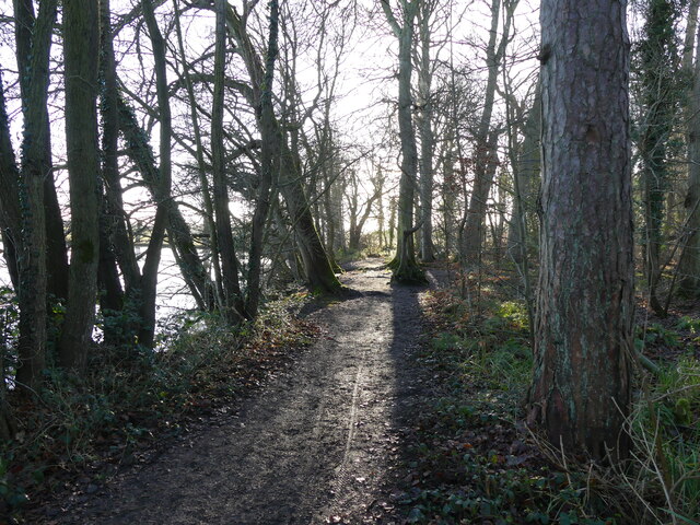
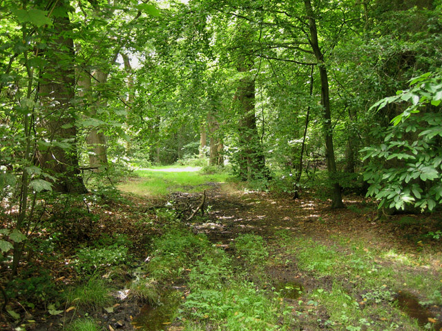
Puxley's Carr is a picturesque woodland located in Norfolk, England. Situated near the village of Horningtoft, this ancient forest spans an area of approximately 200 acres. It is a designated Site of Special Scientific Interest (SSSI) due to its exceptional ecological value and diverse range of plant and animal species.
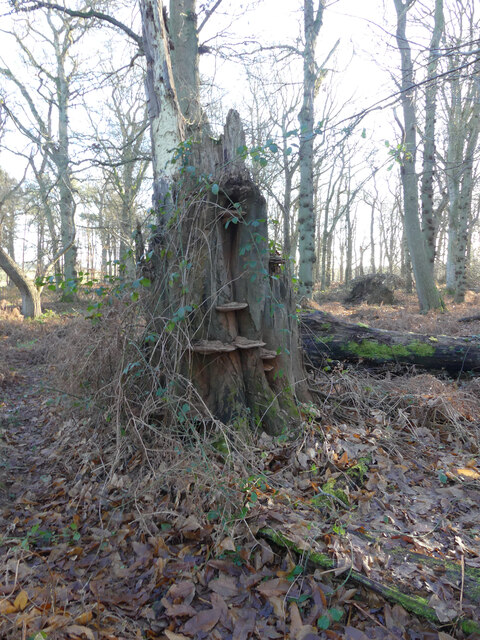
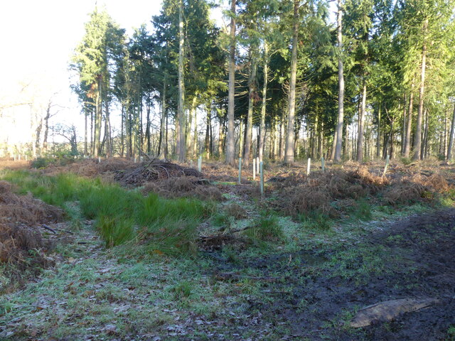
The woodland is predominantly composed of mature broadleaf trees, including oak, beech, and hornbeam, which create a dense canopy overhead. This rich vegetation provides a habitat for various woodland birds, such as woodpeckers, owls, and song thrushes, as well as numerous mammals like foxes, deer, and badgers.
Puxley's Carr is also renowned for its vibrant undergrowth, which consists of ferns, bluebells, and wild garlic, among other species. During spring, the forest floor is carpeted in a stunning display of bluebells, creating a truly enchanting sight. The diverse flora attracts an array of insects, including butterflies and bees, contributing to the overall biodiversity of the area.
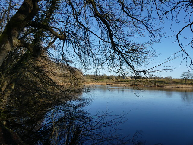
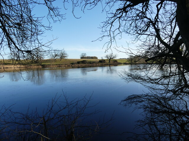
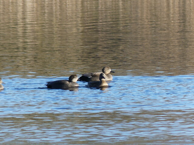
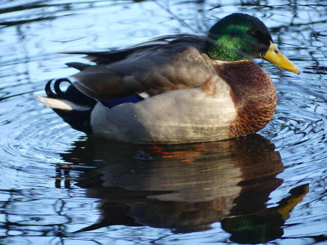
The woodland is intersected by several streams and small ponds, further enriching its ecological importance. These water features support a variety of aquatic life, including frogs, newts, and dragonflies.
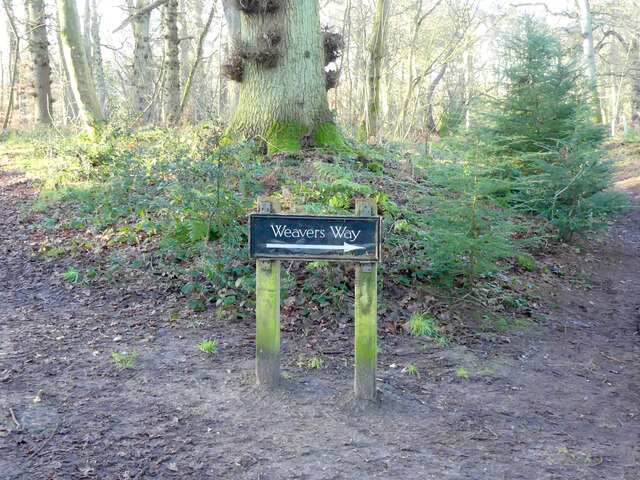
Puxley's Carr is a popular destination for nature enthusiasts, hikers, and photographers who visit to appreciate its natural beauty and tranquility. The forest offers several walking trails, allowing visitors to explore its hidden gems and immerse themselves in the peaceful ambiance of Norfolk's woodlands.
If you have any feedback on the listing, please let us know in the comments section below.
Puxley's Carr Images
Images are sourced within 2km of 52.892689/1.2602318 or Grid Reference TG1937. Thanks to Geograph Open Source API. All images are credited.

Puxley's Carr is located at Grid Ref: TG1937 (Lat: 52.892689, Lng: 1.2602318)
Administrative County: Norfolk
District: North Norfolk
Police Authority: Norfolk
What 3 Words
///starlight.letter.call. Near Cromer, Norfolk
Nearby Locations
Related Wikis

Metton, Norfolk
Metton is a small village and former civil parish, now in the parish of Sustead, in the North Norfolk district, in the county of Norfolk, England. The...

Sustead
Sustead is a small village and parish in the county of Norfolk, England, about four miles south-west of Cromer. The parish also includes the villages of...

St Margaret's Church, Felbrigg
St Margaret's Church is a Grade II* listed parish church in the Church of England Diocese of Norwich in Felbrigg, Norfolk. == History == The church is...

Felbrigg Hall
Felbrigg Hall is a 17th-century English country house near the village of that name in Norfolk. Part of a National Trust property, the unaltered 17th-century...

Gur Beck
Gur Beck is a minor watercourse which rises in the north of the English county of Norfolk. It is a tributary of the Scarrow Beck. Its spring is a little...

Felbrigg
Felbrigg is a village and civil parish in the English county of Norfolk. The village is 1.7 miles (2.7 km) south-west of Cromer and 20 miles (32 km) north...
Felbrigg Woods
Felbrigg Woods is a 164.6-hectare (407-acre) biological Site of Special Scientific Interest south-west of Cromer in Norfolk. It is the main part of the...

Aylmerton
Aylmerton is a village in the county of Norfolk, England. It is in the area of North Norfolk and lies 2.2 miles (3.5 km) south of the North Sea, 3.2 miles...
Nearby Amenities
Located within 500m of 52.892689,1.2602318Have you been to Puxley's Carr?
Leave your review of Puxley's Carr below (or comments, questions and feedback).