Metton

Settlement in Norfolk North Norfolk

England

Metton

Copse around St Margaret's, Felbrigg
Copse around St Margaret's, Felbrigg Credit: Chris Morgan

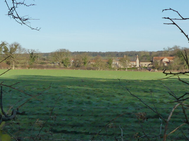
Metton is a small village located in the county of Norfolk, England. Situated approximately 3 miles south of the coastal town of Sheringham, it falls within the North Norfolk District. The village is nestled amidst picturesque countryside, surrounded by rolling hills and open fields.

With a population of around 150 residents, Metton exudes a tranquil and rural charm. It is primarily a residential area, with a scattering of traditional Norfolk cottages and farmhouses dotting the landscape. The village has a strong sense of community, and its residents take pride in maintaining the peaceful and welcoming atmosphere.

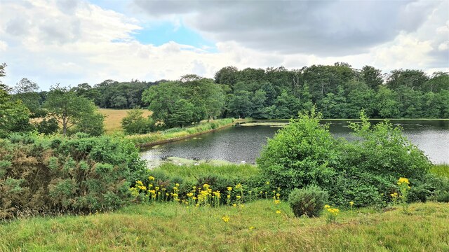
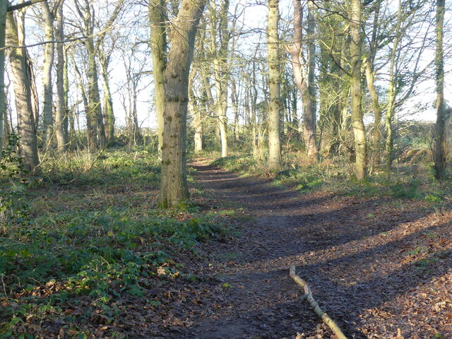
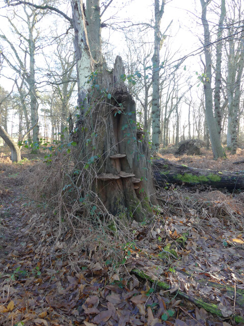
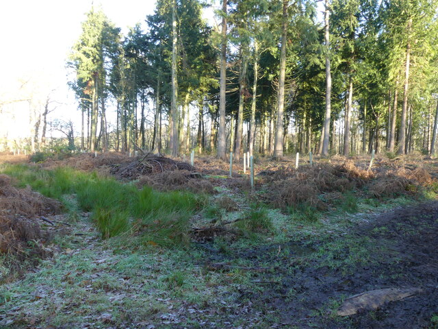
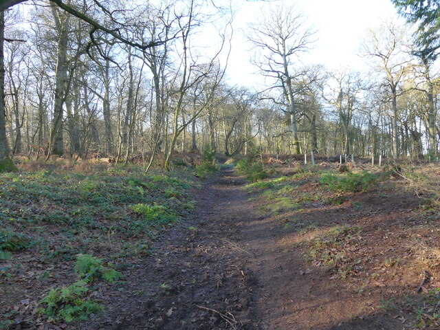
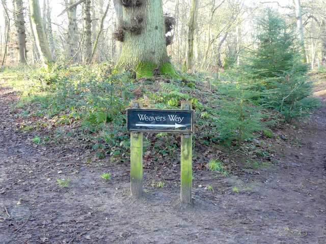
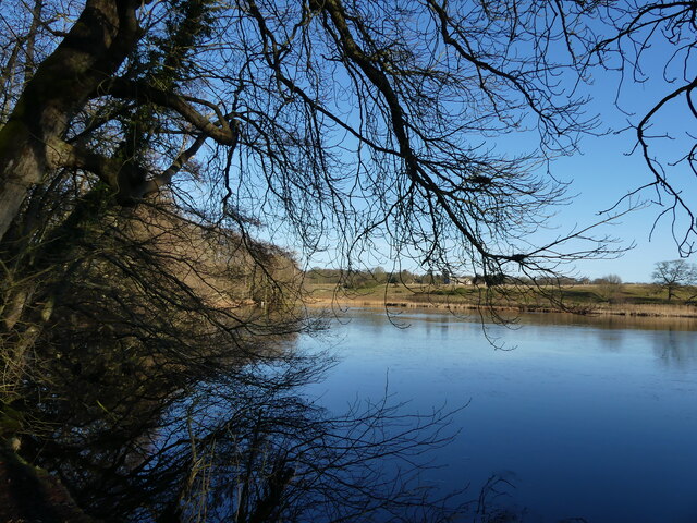
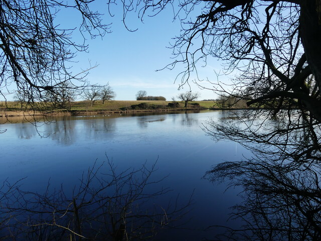
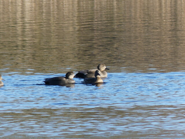
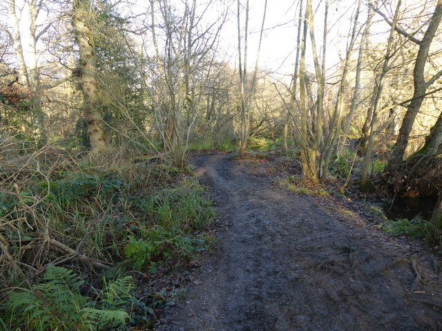
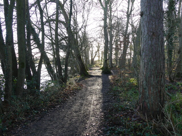
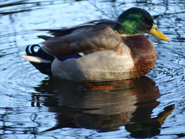
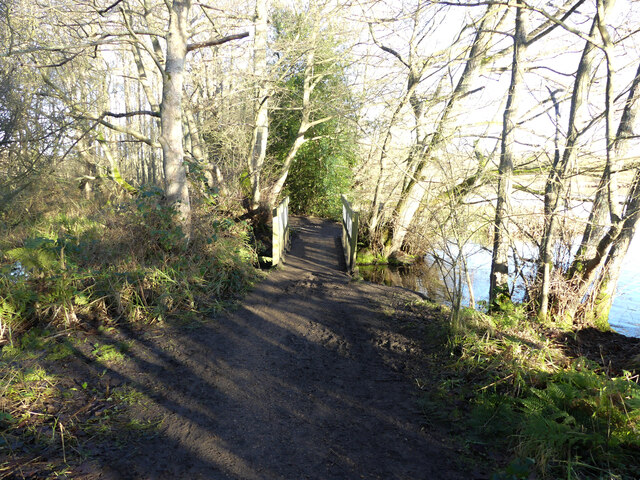
Metton is renowned for its scenic beauty, making it an attractive destination for nature enthusiasts and walkers. The nearby Metton Carr Nature Reserve provides a haven for wildlife, with its rich variety of flora and fauna. The area is also a popular spot for birdwatching, offering the opportunity to spot various species in their natural habitats.

Despite its small size, Metton benefits from its proximity to larger towns and amenities. The village is within easy reach of Sheringham, which offers a wider range of services, including shops, schools, and leisure facilities. Additionally, the stunning Norfolk coastline is just a short drive away, providing opportunities for seaside activities and enjoyment.

In summary, Metton is a charming and idyllic village in Norfolk, offering a peaceful and picturesque setting for its residents and visitors alike.

If you have any feedback on the listing, please let us know in the comments section below.

Metton Images

Images are sourced within 2km of 52.888307/1.267173 or Grid Reference TG1937. Thanks to Geograph Open Source API. All images are credited.

Copse around St Margaret's, Felbrigg
Felbrigg Pond With ragwort
Felbrigg Pond
With ragwort
Repainted Sustead village sign The sign depicts the three dolphins of the Damme family and "the manor of Damms in Sustede" in the reign of Queen Elizabeth I.
Repainted Sustead village sign
The sign depicts the three dolphins of the Damme family and "the manor of Damms in Sustede" in the reign of Queen Elizabeth I.
Looking out from Common Plantation
East on Weavers Way in Common Plantation Weavers Way runs along the line of former Midland and Great Northern Joint Railway between Melton Constable and Great Yarmouth, which closed in 1959.
East on Weavers Way in Common Plantation
Weavers Way runs along the line of former Midland and Great Northern Joint Railway between Melton Constable and Great Yarmouth, which closed in 1959.
Heading towards Susted Road on Weavers Way Weavers Way runs along the line of former Midland and Great Northern Joint Railway between Melton Constable and Great Yarmouth, which closed in 1959.
Heading towards Susted Road on Weavers Way
Weavers Way runs along the line of former Midland and Great Northern Joint Railway between Melton Constable and Great Yarmouth, which closed in 1959.
Fungi on dead tree
Fungi on dead tree
Replanting in area of Conifer
West on Weavers Way Weavers Way runs along the line of former Midland and Great Northern Joint Railway between Melton Constable and Great Yarmouth, which closed in 1959.
West on Weavers Way
Weavers Way runs along the line of former Midland and Great Northern Joint Railway between Melton Constable and Great Yarmouth, which closed in 1959.
Weavers Way sign Weavers Way runs along the line of former Midland and Great Northern Joint Railway between Melton Constable and Great Yarmouth, which closed in 1959.
Weavers Way sign
Weavers Way runs along the line of former Midland and Great Northern Joint Railway between Melton Constable and Great Yarmouth, which closed in 1959.
Northerly view of Felbrigg Pond
Felbrigg Pond
Felbrigg Pond
Gadwall on Felbrigg Pond
Muddy path round Felbrigg Pond
Path round Felbrigg Pond
Mallard beside path
Mallard beside path
Approaching bridge over a stream that drains into Felbrigg Pond
Stream draining from wet scrub area
Show me another place!

Metton is located at Grid Ref: TG1937 (Lat: 52.888307, Lng: 1.267173)

Administrative County: Norfolk

District: North Norfolk

Police Authority: Norfolk

What 3 Words

///resolves.sweat.video. Near Cromer, Norfolk

Related Wikis

Metton, Norfolk

Metton is a small village and former civil parish, now in the parish of Sustead, in the North Norfolk district, in the county of Norfolk, England. The...
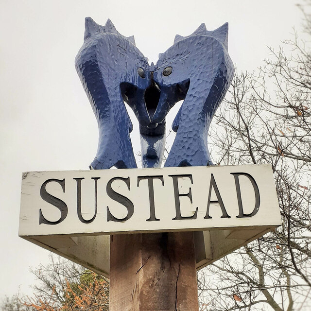
Sustead

Sustead is a small village and parish in the county of Norfolk, England, about four miles south-west of Cromer. The parish also includes the villages of...

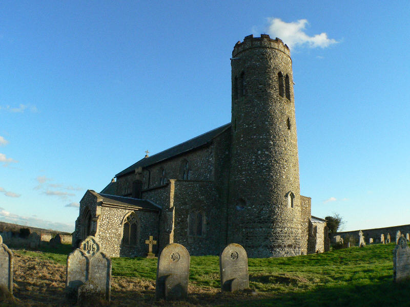
St Margaret's Church, Felbrigg

St Margaret's Church is a Grade II* listed parish church in the Church of England Diocese of Norwich in Felbrigg, Norfolk. == History == The church is...
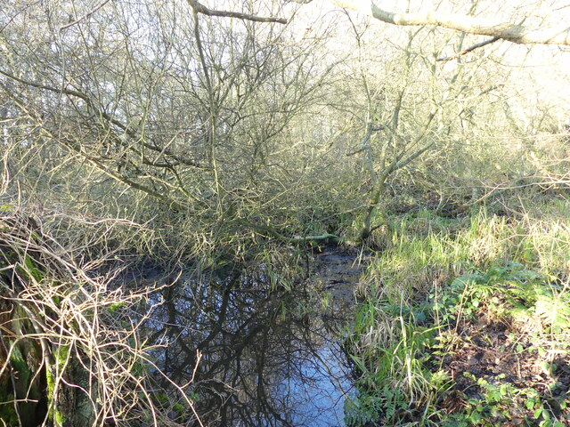
Gur Beck

Gur Beck is a minor watercourse which rises in the north of the English county of Norfolk. It is a tributary of the Scarrow Beck. Its spring is a little...
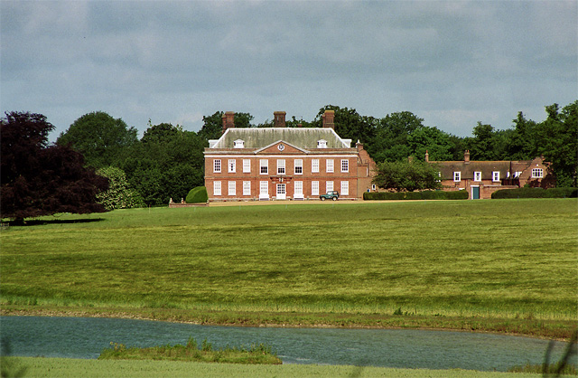
Hanworth Hall

Hanworth Hall is a large late 17th-century country house some 500 m to the south of the village of Hanworth, Norfolk, England. It is protected and recognised...

Hanworth, Norfolk

Hanworth is a village and a civil parish in the English county of Norfolk. It is 18.8 miles (30.3 km) north of Norwich, 5.4 miles (8.7 km) south-west of...

Roughton, Norfolk

Roughton is a village and a civil parish in the English county of Norfolk. The village is 3.7 miles (6.0 km) south of Cromer, 19.6 miles (31.5 km) north...

Felbrigg Hall

Felbrigg Hall is a 17th-century English country house near the village of that name in Norfolk. Part of a National Trust property, the unaltered 17th-century...

Related Videos

Stately home and farm in North Norfolk England Felbrigg Hall #countryhouse #countrysidelife #farm

Felbrigg Hall is a historic house, gardens and farm in Norfolk England owned and managed by the National Trust.

Norfolk's Mountain Walk 16 Mile Loop

It's about time I get back outside. I bring my son Jacob along for whats called the Norfolk's Mountain Walk which is a 16 mile long ...

Escape to Nature: Exploring Felbrigg Hall's Serene Beauty

fujifilm camera in low light. with 33mm fujifilm photography. filmmakingtravel photography.

Sheringham and Felbrigg, Norfolk, Uk. May/2016

Walk around Felbrigg hall grounds in May.

Nearby Amenities

Located within 500m of 52.888307,1.267173
Waterworks, adj
Naptan AtcoCode: 2900M605
Naptan Bearing: SE
Naptan BusStopType: CUS
Naptan CommonName: Waterworks
Naptan Indicator: adj
Naptan Locality: Metton
Naptan NaptanCode: nfogpmdt
Naptan Street: Metton Road
Naptan Verified: no
Source: naptan_import
Lat/Long: 52.8897396/1.2614587
War Memorial, adj
Naptan AtcoCode: 2900S604
Naptan Bearing: W
Naptan BusStopType: CUS
Naptan CommonName: War Memorial
Naptan Indicator: adj
Naptan Landmark: War Memorial
Naptan Locality: Metton
Naptan NaptanCode: nfodwdmj
Naptan Street: Metton Road
Naptan Verified: no
Source: naptan_import
Lat/Long: 52.8883309/1.2678271
War Memorial, opp
Naptan AtcoCode: 2900S606
Naptan Bearing: E
Naptan BusStopType: CUS
Naptan CommonName: War Memorial
Naptan Indicator: opp
Naptan Landmark: War Memoral
Naptan Locality: Metton
Naptan NaptanCode: nfodwdmt
Naptan Street: Metton Road
Naptan Verified: no
Source: naptan_import
Lat/Long: 52.8884496/1.2674879
Barrier: stile
Bicycle: no
Foot: yes
Material: wood
Stile: stepover
Lat/Long: 52.8886168/1.2675601
Metton
Place: village
Lat/Long: 52.8887375/1.2684619
Description: Tall stone cross on large stepped square pedestal engraved. Set in railed enclosure.
Historic: memorial
Inscription: To the Glory of God and in Memory of the Men of Metton Who Took Part in the Great War. 1914 - 1918. Killed (3 mens names engraved). 1939 - 1945 (5 mens names engraved).
Memorial: war_memorial
Lat/Long: 52.8882893/1.2675236
Post Box
Collection Times: Mo-Fr 16:00; Sa 11:30
Post Box Type: wall
Ref: NR11 1173
Royal Cypher: VR
Royal Cypher Wikidata: Q33102356
Lat/Long: 52.8885204/1.2687678
Entrance: main
Lat/Long: 52.8881282/1.2671601
Barrier: stile
Bicycle: no
Foot: yes
Material: wood
Stile: stepover
Lat/Long: 52.8883822/1.2676161
Man Made: flagpole
Lat/Long: 52.8881775/1.2674768
Bench
Backrest: yes
Material: wood
Seats: 4
Lat/Long: 52.8882894/1.2675384
Barrier: stile
Bicycle: no
Foot: yes
Material: wood
Stile: stepover
Lat/Long: 52.8895337/1.2676137
Barrier: stile
Bicycle: no
Foot: yes
Material: wood
Stile: stepover
Lat/Long: 52.8908093/1.2667855
Power: pole
Lat/Long: 52.8855696/1.2717648
Power: pole
Lat/Long: 52.8857395/1.2701769
Power: pole
Lat/Long: 52.8859143/1.2685353
Power: pole
Lat/Long: 52.8862671/1.2670628
Power: pole
Lat/Long: 52.8866199/1.2656278
Power: pole
Lat/Long: 52.8869841/1.2640802
Power: pole
Lat/Long: 52.8873887/1.2623985
Power: pole
Lat/Long: 52.8877723/1.2607999
Power: pole
Lat/Long: 52.8880458/1.259735
Bench
Backrest: yes
Lat/Long: 52.8881182/1.2672331
Entrance: yes
Lat/Long: 52.8880251/1.2671627
Power: pole
Lat/Long: 52.8914107/1.2627465
Power: pole
Lat/Long: 52.891456/1.2645194
Power: pole
Lat/Long: 52.8918978/1.2664533
Power: pole
Lat/Long: 52.8923314/1.2682691
Power: pole
Lat/Long: 52.8912699/1.2723327
The data included in this document is from www.openstreetmap.org. The data is made available under ODbL.

Have you been to Metton?

Leave your review of Metton below (or comments, questions and feedback).