Paraker Wood
Wood, Forest in Kent Shepway
England
Paraker Wood
Paraker Wood, located in the county of Kent, England, is a picturesque woodland area renowned for its natural beauty and rich biodiversity. Spanning approximately 100 acres, this enchanting forest is a haven for nature enthusiasts and outdoor enthusiasts alike.
The wood is characterized by its dense canopy of tall, mature trees, predominantly consisting of oak, beech, and ash. These towering giants provide ample shade and create a tranquil atmosphere for visitors to enjoy. The forest floor is a carpet of lush vegetation, adorned with wildflowers, ferns, and mosses, adding to the overall charm of the wood.
Paraker Wood is home to a diverse range of wildlife, making it a popular spot for birdwatching and animal spotting. Bird species such as woodpeckers, owls, and warblers can be heard chirping and seen flitting through the treetops. Deer, foxes, badgers, and rabbits are just some of the mammals that call this woodland their home.
A network of well-marked trails meanders through the wood, offering visitors the opportunity to explore and discover its hidden treasures. These paths lead to various points of interest, including a tranquil pond, where visitors can sit and observe the resident waterfowl and aquatic life.
The wood is managed by a local conservation organization, ensuring the preservation of its natural beauty and the protection of its flora and fauna. It is open to the public year-round, providing a peaceful retreat for individuals seeking a respite from the hustle and bustle of everyday life.
In conclusion, Paraker Wood in Kent is a stunning woodland that offers visitors a chance to immerse themselves in nature, appreciate its diverse ecosystem, and experience the tranquility it provides.
If you have any feedback on the listing, please let us know in the comments section below.
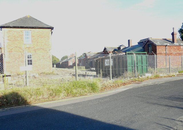
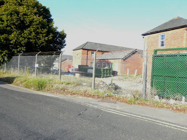
Paraker Wood Images
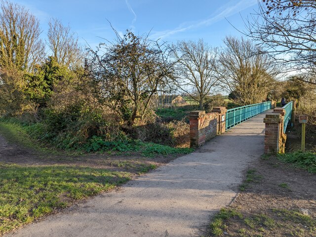
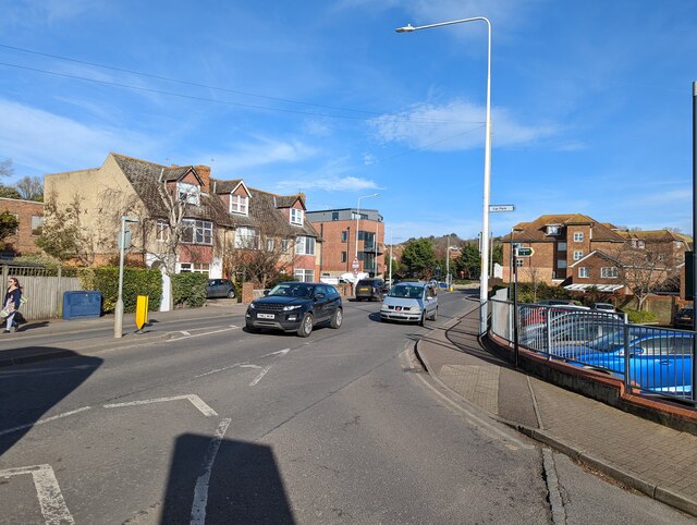
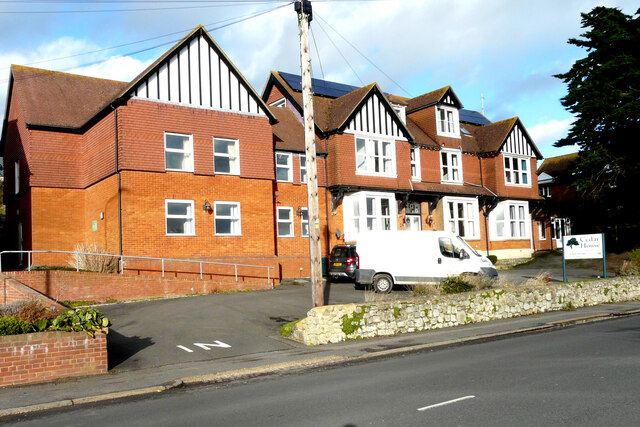
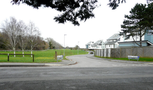
Images are sourced within 2km of 51.078819/1.1123148 or Grid Reference TR1835. Thanks to Geograph Open Source API. All images are credited.
Paraker Wood is located at Grid Ref: TR1835 (Lat: 51.078819, Lng: 1.1123148)
Administrative County: Kent
District: Shepway
Police Authority: Kent
What 3 Words
///comedy.sunbeam.marching. Near Hythe, Kent
Nearby Locations
Related Wikis

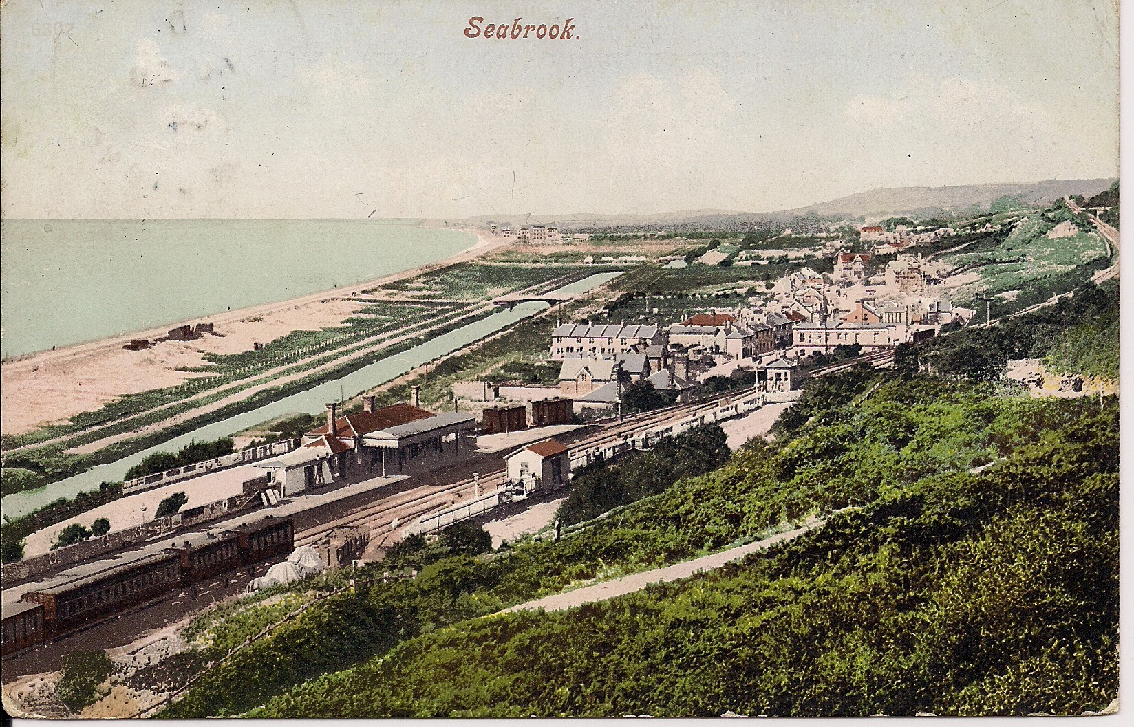
Seabrook, Kent
Seabrook is a small coastal village in Hythe civil parish, Folkestone and Hythe District, Kent, England. The village lies in between Sandgate and Hythe...

Seabrook Stream
Seabrook Stream is a 24.1-hectare (60-acre) biological Site of Special Scientific Interest in Kent. The main biological interest of this site lies in the...
Sandgate railway station
Sandgate railway station was a railway station on the Sandgate Branch line serving the town of Sandgate in Kent. The station was positioned just after...
St Martin's Plain
The area known as St Martin's Plain is located to the west of Cheriton, part of Folkestone, Kent, England. It is used by the British Army from Shorncliffe...
Nearby Amenities
Located within 500m of 51.078819,1.1123148Have you been to Paraker Wood?
Leave your review of Paraker Wood below (or comments, questions and feedback).