Horn Street
Settlement in Kent Shepway
England
Horn Street
Horn Street is a charming village located in the county of Kent, in the southeast of England. Situated in the borough of Ashford, it is nestled amidst the picturesque countryside, offering residents and visitors a tranquil and idyllic setting.
The village of Horn Street boasts a rich history, with evidence of its existence dating back to the Domesday Book of 1086. It has retained much of its traditional character, with many historic buildings still standing, showcasing the architectural styles of different eras.
The village is home to a close-knit community, known for its welcoming and friendly atmosphere. Residents take great pride in their village, evident in the well-maintained gardens and neatly kept houses that line the streets. Horn Street also benefits from a thriving local economy, with a range of small businesses, shops, and amenities that cater to the needs of its residents.
Nature lovers will enjoy the abundance of natural beauty surrounding Horn Street. The village is surrounded by rolling hills, meandering rivers, and lush green fields, providing ample opportunities for outdoor activities such as hiking, cycling, and fishing. The nearby Kent Downs, designated an Area of Outstanding Natural Beauty, further enhances the scenic landscape.
In terms of transportation, Horn Street is well-connected to the wider region. The village has good road links, with easy access to the A20 and A28, allowing for convenient travel to nearby towns and cities. The nearest railway station is located in nearby Ashford, providing regular services to London and other major destinations.
Overall, Horn Street offers a peaceful and charming escape from the hustle and bustle of city life, with its rich history, natural beauty, and strong sense of community.
If you have any feedback on the listing, please let us know in the comments section below.
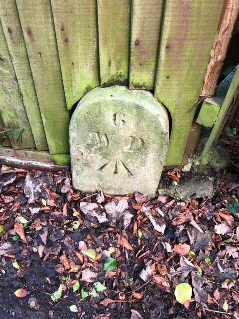
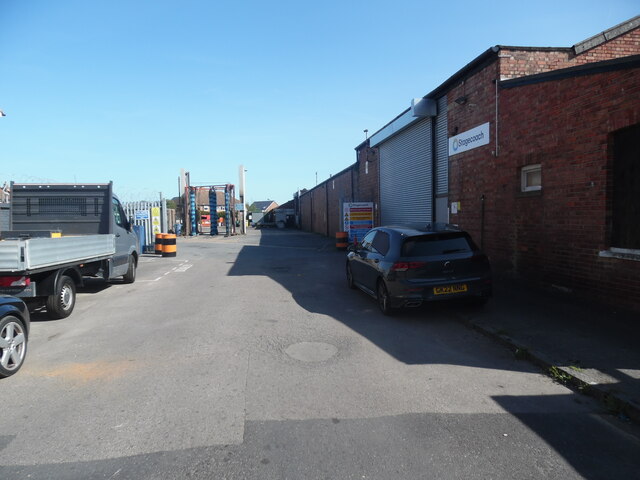
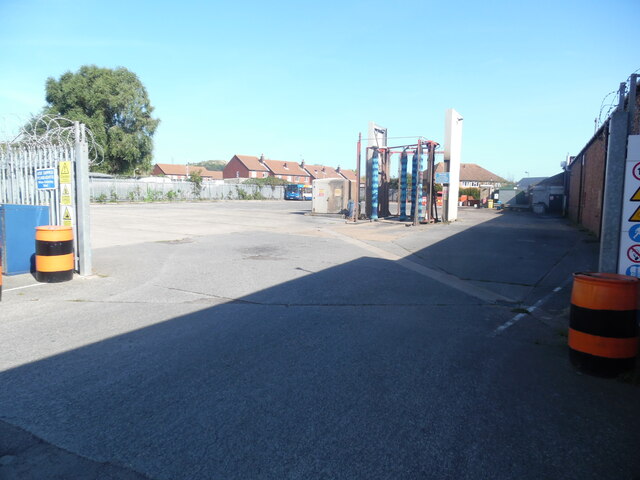
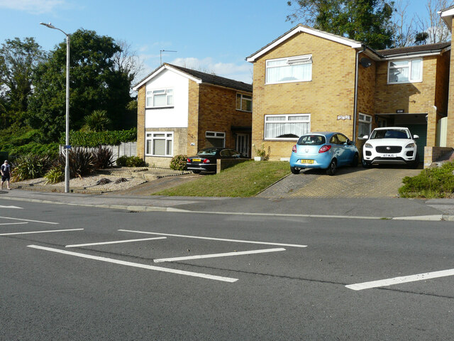
Horn Street Images
Images are sourced within 2km of 51.080723/1.123224 or Grid Reference TR1835. Thanks to Geograph Open Source API. All images are credited.


Horn Street is located at Grid Ref: TR1835 (Lat: 51.080723, Lng: 1.123224)
Administrative County: Kent
District: Shepway
Police Authority: Kent
What 3 Words
///recorders.towns.bashful. Near Hythe, Kent
Nearby Locations
Related Wikis
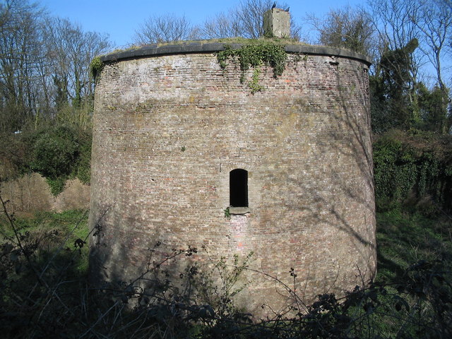
Shorncliffe Redoubt
Shorncliffe Redoubt is a British Napoleonic earthwork fort. The site is approximately 300 feet by 300 feet and is situated on the Kentish Coast in Sandgate...

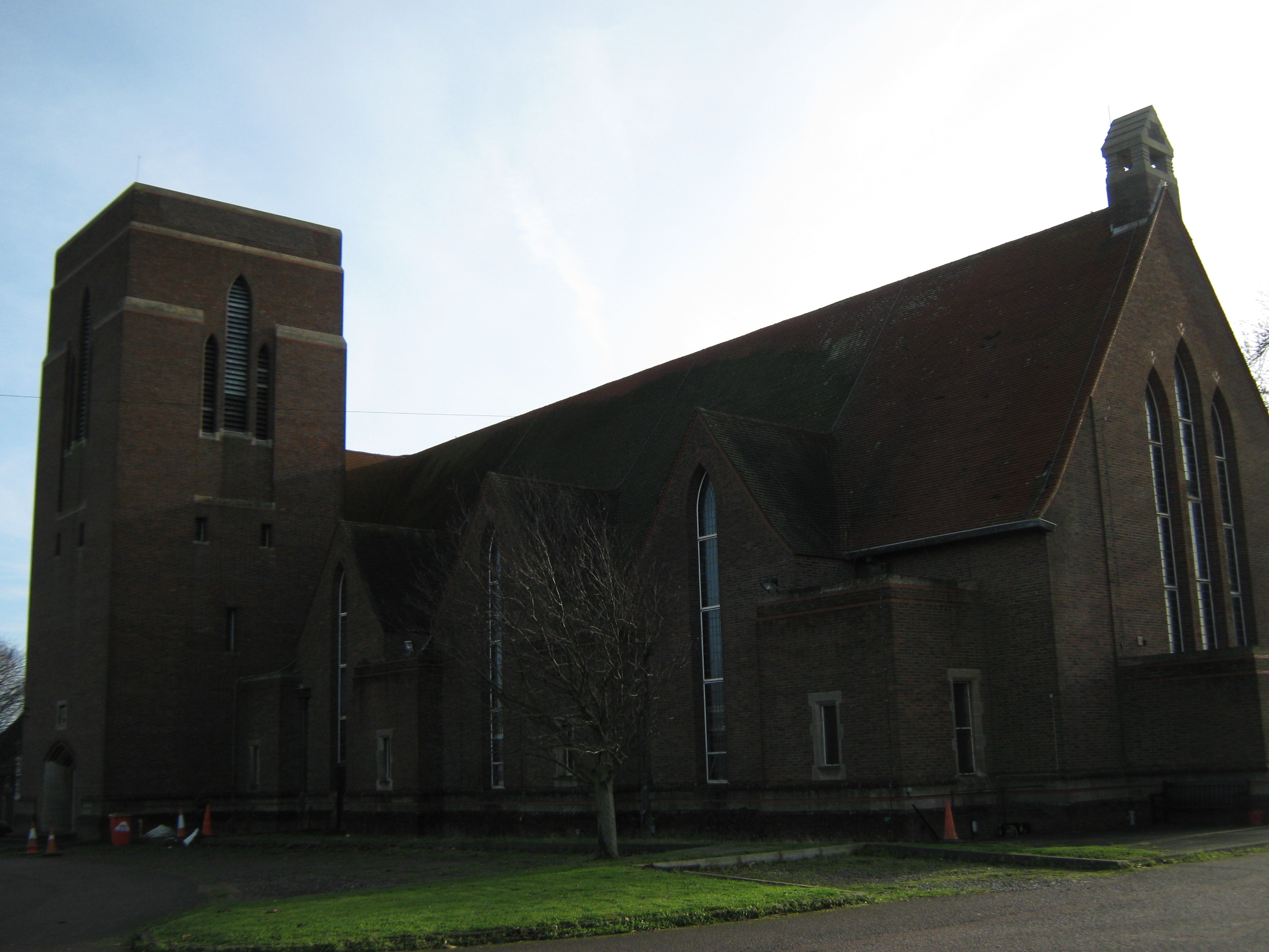
Folkestone-Hythe Operatic & Dramatic Society
Folkestone-Hythe Operatic & Dramatic Society, FHODS, is a charitable organization that holds performances and events at its theatre in Shorncliffe, the...

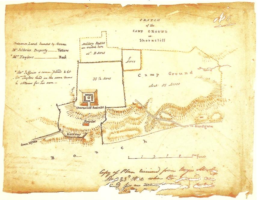
Shorncliffe Army Camp
Shorncliffe Army Camp is a British Army installation near Cheriton in Kent, established in 1794. The camp, described as "the birthplace of the modern British...
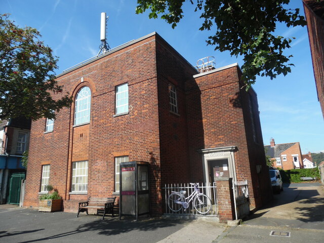
Tower Theatre (Folkestone)
The Tower Theatre is a theatre in Folkestone, Kent that has been converted from the garrison church of Shorncliffe Camp barracks. The venue is owned by...

St Martin's Plain
The area known as St Martin's Plain is located to the west of Cheriton, part of Folkestone, Kent, England. It is used by the British Army from Shorncliffe...
Sandgate railway station
Sandgate railway station was a railway station on the Sandgate Branch line serving the town of Sandgate in Kent. The station was positioned just after...

Seabrook Stream
Seabrook Stream is a 24.1-hectare (60-acre) biological Site of Special Scientific Interest in Kent.The main biological interest of this site lies in the...
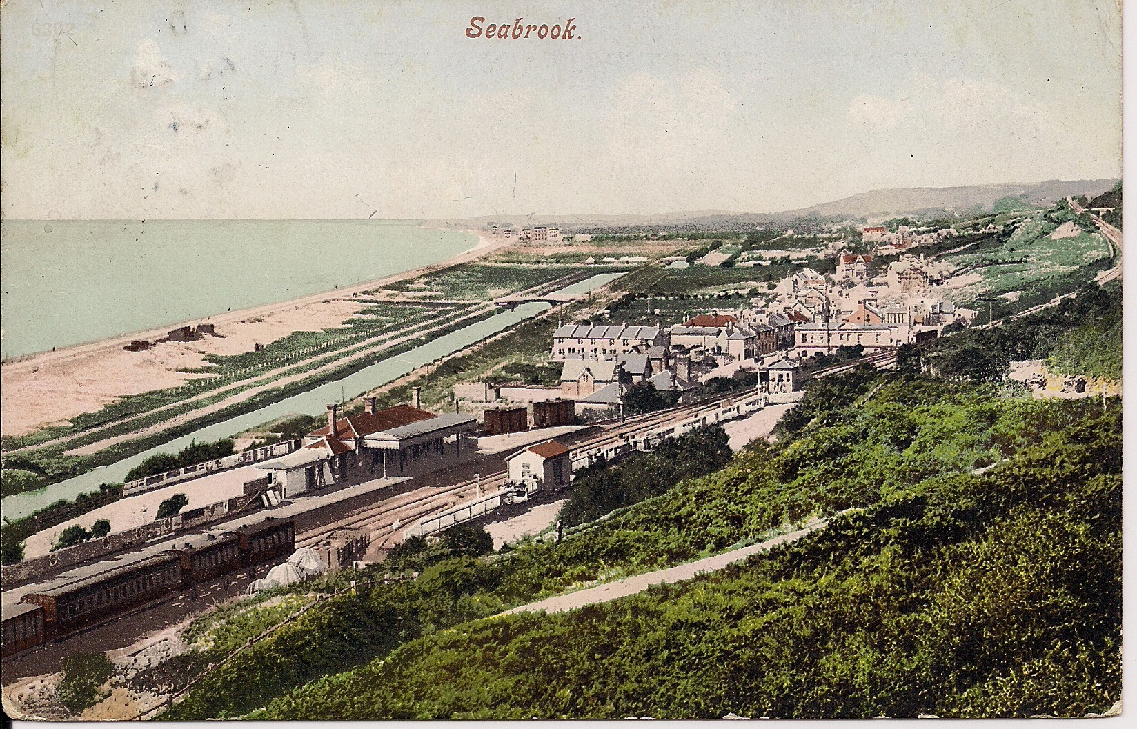
Seabrook, Kent
Seabrook is a small coastal village in Hythe civil parish, Folkestone and Hythe District, Kent, England. The village lies in between Sandgate and Hythe...
Nearby Amenities
Located within 500m of 51.080723,1.123224Have you been to Horn Street?
Leave your review of Horn Street below (or comments, questions and feedback).