Hornblotton
Settlement in Somerset Mendip
England
Hornblotton

Hornblotton is a small village located in the county of Somerset, England. Situated approximately 12 miles southwest of the town of Shepton Mallet, it is nestled amidst the picturesque countryside of the Mendip Hills. The village is part of the civil parish of Hornblotton and is surrounded by charming rural landscapes, including rolling hills, meadows, and woodlands.
The name Hornblotton is derived from the Old English words "horne" meaning "horn" and "blot" meaning "place of sacrifice." Historically, the village was known for its agricultural heritage, with farming being a major occupation. Today, while farming still plays a role in the local economy, many residents are also employed in nearby towns and cities.
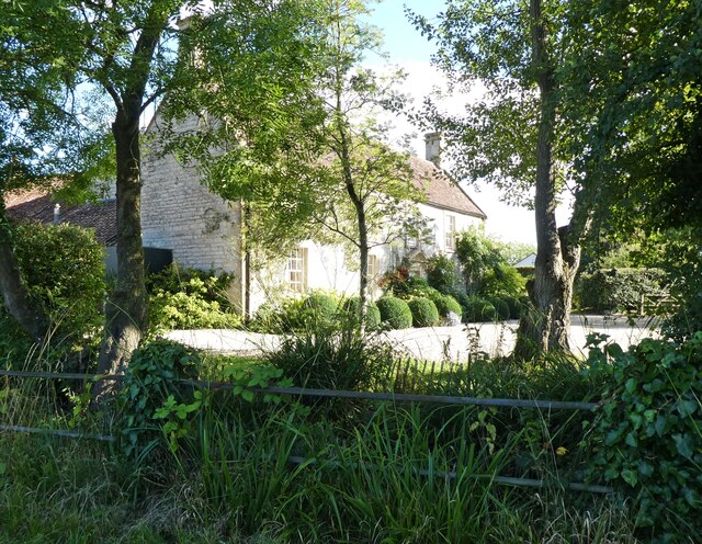
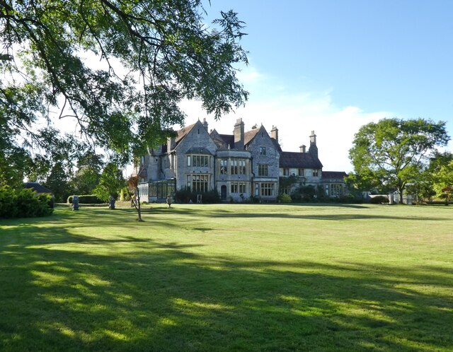
Hornblotton is characterized by its peaceful and tranquil atmosphere, making it an ideal destination for those seeking a retreat from urban life. The village is home to a close-knit community, with a population of around 200 people. It boasts a mix of traditional and modern architecture, including charming thatched cottages, as well as more contemporary houses.
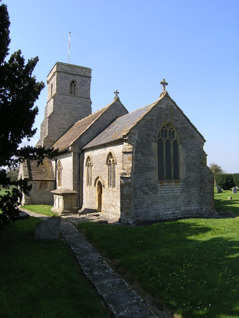
The village has limited amenities, including a small church and a village hall, which serves as a hub for community events and gatherings. However, for more extensive services, residents can easily access nearby towns and cities, such as Shepton Mallet, which offers a range of shops, schools, and healthcare facilities.
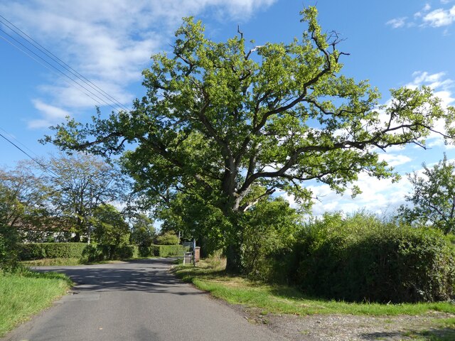
Hornblotton is surrounded by an abundance of natural beauty, offering opportunities for outdoor activities such as hiking, cycling, and wildlife spotting. The village's proximity to the Mendip Hills Area of Outstanding Natural Beauty attracts visitors who enjoy exploring the picturesque countryside and its numerous walking trails.
Overall, Hornblotton is a charming and idyllic village that appeals to those seeking a peaceful rural lifestyle amidst the stunning landscapes of Somerset.
If you have any feedback on the listing, please let us know in the comments section below.
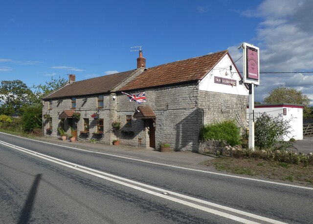
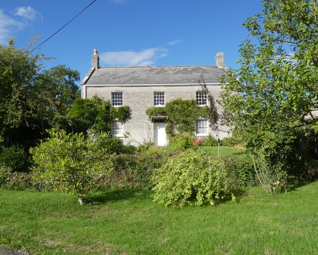
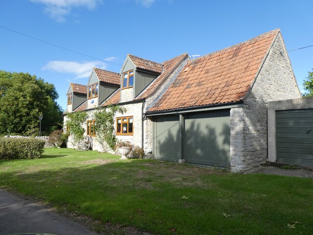
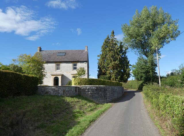
Hornblotton Images
Images are sourced within 2km of 51.105838/-2.586598 or Grid Reference ST5934. Thanks to Geograph Open Source API. All images are credited.


Hornblotton is located at Grid Ref: ST5934 (Lat: 51.105838, Lng: -2.586598)
Administrative County: Somerset
District: Mendip
Police Authority: Avon and Somerset
What 3 Words
///pigment.supposed.unafraid. Near Castle Cary, Somerset
Nearby Locations
Related Wikis

River Alham
The River Alham flows through Somerset, England. It rises at Higher Alham above Batcombe and runs through Alhampton, Milton Clevedon and joins the River...

Church of All Saints, Alford
The Church of All Saints which is next to the River Brue in Alford, Somerset, England, dates from the 15th century, with minor 19th-century restoration...

Church of St Mary, West Bradley
The Anglican Church of St Mary in Lottisham, West Bradley, Somerset, England, was built in 1876. It is a Grade II* listed building. == History == The church...
Alford, Somerset
Alford is a village and parish on the River Alham, in Somerset, England, situated 8 miles (12.9 km) south of Shepton Mallet and two miles west of Castle...

East Pennard
East Pennard is a village and civil parish 4 miles (6.4 km) north west of Castle Cary, and 5 miles (8.0 km) south of Shepton Mallet, in the Mendip district...
Church of St Thomas of Canterbury, Lovington
The Church of St Thomas of Canterbury in Lovington, Somerset, England, was built in the 13th century. It is a Grade II* listed building. == History... ==

Church of St Peter, Lydford-on-Fosse
The Church of St Peter in Lydford-on-Fosse, Somerset, England was built in 1846. It is a Grade II* listed building. == History == The church was built...

Church of the Blessed Virgin Mary, East Lydford
The Church of the Blessed Virgin Mary is a former Church of England church in East Lydford, Somerset, England. Designed by Benjamin Ferrey, it was built...
Nearby Amenities
Located within 500m of 51.105838,-2.586598Have you been to Hornblotton?
Leave your review of Hornblotton below (or comments, questions and feedback).