Dole Plantation

Wood, Forest in Norfolk Broadland

England

Dole Plantation

Old Milepost by the B1149, north of Horsford, Felthorpe parish Concrete post by the B1149, in parish of Felthorpe (Broadland District), 10m North of pull-in/lay-by, on the verge overgrown by brambles and backed by woodland, on West side of road. NCC concrete, erected by the County Council in the 19th/20th century. 

Inscription reads:-
: TO / HOLT / 15 / MILES : : NCC / MAIN ROAD : : FELTHORPE : : TO / NORWICH / 6 / MILES :
Carved benchmark recorded.

Norfolk HER.
NHER Number: 56448 <span class="nowrap"><a title="https://www.heritagegateway.org.uk/Gateway/Results_Single.aspx?uid=MNF62856&resourceID=1002" rel="nofollow ugc noopener" href="https://www.heritagegateway.org.uk/Gateway/Results_Single.aspx?uid=MNF62856&resourceID=1002">Link</a><img style="margin-left:2px;" alt="External link" title="External link - shift click to open in new window" src="https://s1.geograph.org.uk/img/external.png" width="10" height="10"/></span>

Milestone Society National ID: NO_NH06
Old Milepost by the B1149, north of Horsford, Felthorpe parish Credit: Alan Lake

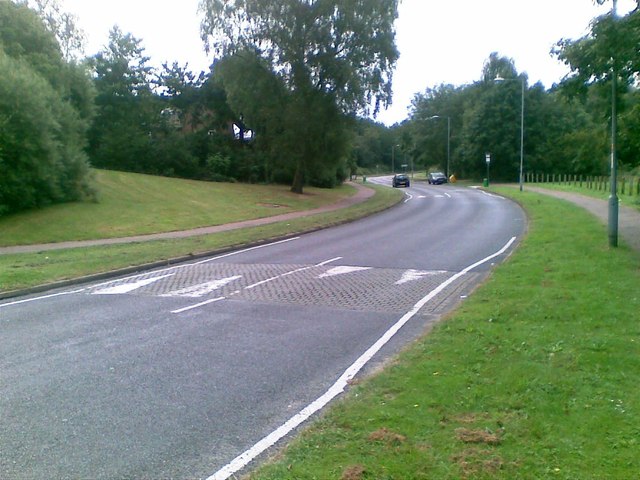
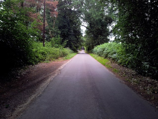
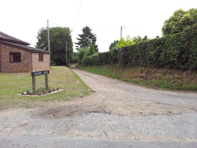
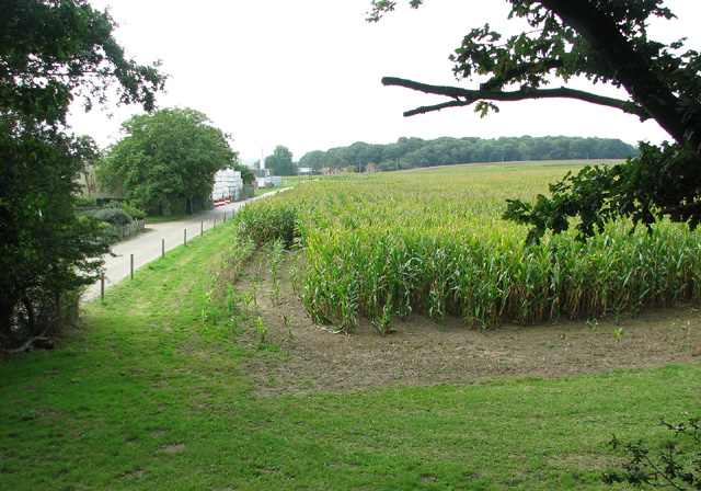
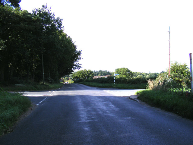
Dole Plantation, Norfolk, also known as Wood or Forest, is a vibrant and diverse natural area located in the county of Norfolk, England. Covering an expansive area, this plantation attracts visitors from far and wide with its stunning landscapes and rich biodiversity.

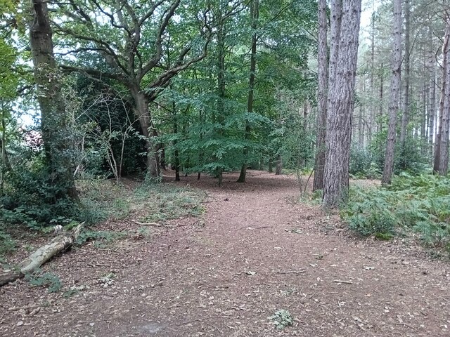
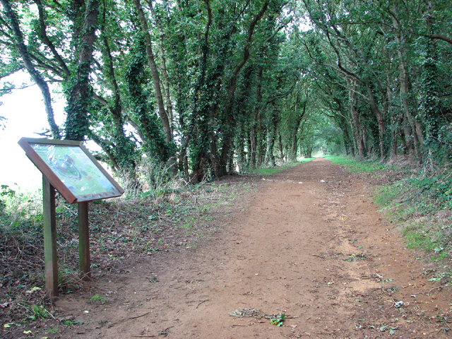
The plantation is primarily composed of lush woodland, featuring a mix of deciduous and evergreen trees, including oak, beech, birch, and pine. The dense foliage creates a serene and tranquil environment, perfect for nature enthusiasts and those seeking an escape from the hustle and bustle of city life.

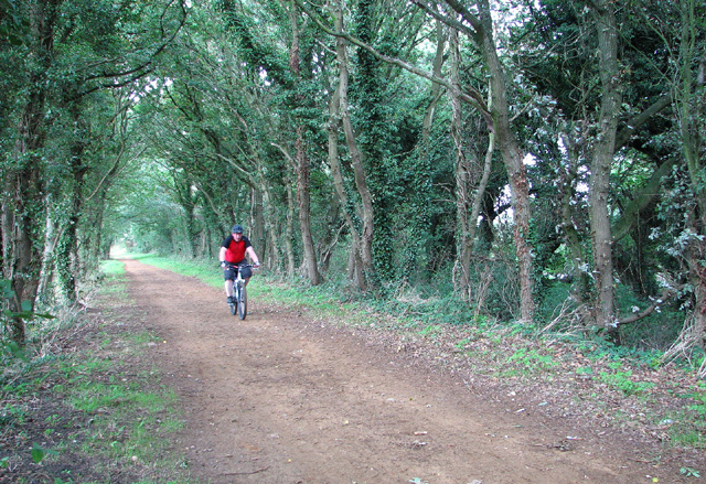
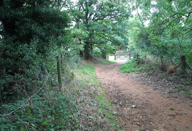
Dole Plantation offers a range of recreational activities for visitors to enjoy. There are well-maintained walking trails that crisscross through the woodland, providing opportunities for leisurely strolls and more challenging hikes. These trails offer breathtaking views of the surrounding countryside and are a haven for birdwatchers, as numerous species can be spotted throughout the year.

In addition to its natural beauty, Dole Plantation is also home to a variety of wildlife. Visitors may encounter squirrels, foxes, rabbits, and an array of bird species, making it a prime location for wildlife photography and observation.

For those interested in learning more about the local flora and fauna, the plantation offers educational programs and guided tours led by knowledgeable experts. These tours provide insights into the plantation's conservation efforts and its importance in preserving the region's ecological balance.

Overall, Dole Plantation, Norfolk, is a captivating destination that showcases the splendor of nature. Whether you seek adventure, relaxation, or an educational experience, this woodland retreat is sure to leave a lasting impression on visitors of all ages.

If you have any feedback on the listing, please let us know in the comments section below.

Dole Plantation Images

Images are sourced within 2km of 52.702555/1.2133417 or Grid Reference TG1716. Thanks to Geograph Open Source API. All images are credited.

Old Milepost by the B1149, north of Horsford, Felthorpe parish Concrete post by the B1149, in parish of Felthorpe (Broadland District), 10m North of pull-in/lay-by, on the verge overgrown by brambles and backed by woodland, on West side of road. NCC concrete, erected by the County Council in the 19th/20th century. 

Inscription reads:-
: TO / HOLT / 15 / MILES : : NCC / MAIN ROAD : : FELTHORPE : : TO / NORWICH / 6 / MILES :
Carved benchmark recorded.

Norfolk HER.
NHER Number: 56448 <span class="nowrap"><a title="https://www.heritagegateway.org.uk/Gateway/Results_Single.aspx?uid=MNF62856&resourceID=1002" rel="nofollow ugc noopener" href="https://www.heritagegateway.org.uk/Gateway/Results_Single.aspx?uid=MNF62856&resourceID=1002">Link</a><img style="margin-left:2px;" alt="External link" title="External link - shift click to open in new window" src="https://s1.geograph.org.uk/img/external.png" width="10" height="10"/></span>

Milestone Society National ID: NO_NH06
Old Milepost by the B1149, north of Horsford, Felthorpe parish
Concrete post by the B1149, in parish of Felthorpe (Broadland District), 10m North of pull-in/lay-by, on the verge overgrown by brambles and backed by woodland, on West side of road. NCC concrete, erected by the County Council in the 19th/20th century. Inscription reads:- : TO / HOLT / 15 / MILES : : NCC / MAIN ROAD : : FELTHORPE : : TO / NORWICH / 6 / MILES : Carved benchmark recorded. Norfolk HER. NHER Number: 56448 LinkExternal link Milestone Society National ID: NO_NH06
Horsford Woods Popular woodland for walking.
Horsford Woods
Popular woodland for walking.
Spider web, Thorpe Marriott Covered in water droplets on a misty morning.
Spider web, Thorpe Marriott
Covered in water droplets on a misty morning.
The Mariners Public House, Felthorpe On The Street
The Mariners Public House, Felthorpe
On The Street
The Mariners Public House, Felthorpe On The Street
The Mariners Public House, Felthorpe
On The Street
Field used for car boot sales
Drewray Woods Public Footpath/Track The photo depicts the condition of the Footpath/Track which enters Drewray Wood from Dog Lane.
Drewray Woods Public Footpath/Track
The photo depicts the condition of the Footpath/Track which enters Drewray Wood from Dog Lane.
Pendlesham Rise, Thorpe Marriott
Mill Lane, near Felthorpe
Chapel Lane, Felthorpe
Taverham veterinary clinic
Mariott's Way by Freeland Corner
Access road to Spring Farm
Cyclist on Marriott's Way
To Freeland Corner on Marriott's Way
Short Thorn Road Looking towards Felthorpe at the junction with Haveringland Road & The Street
Road no.C 245
Short Thorn Road
Looking towards Felthorpe at the junction with Haveringland Road & The Street Road no.C 245
Haveringland Road At the junction with Short-Thorn Road and The Street.
Road No.C278
Haveringland Road
At the junction with Short-Thorn Road and The Street. Road No.C278
Haveringland Road sign On Haveringland Road at the junction with Short-Thorn Road and The Street.
Road No.C278
Haveringland Road sign
On Haveringland Road at the junction with Short-Thorn Road and The Street. Road No.C278
Show me another place!

Dole Plantation is located at Grid Ref: TG1716 (Lat: 52.702555, Lng: 1.2133417)

Administrative County: Norfolk

District: Broadland

Police Authority: Norfolk

What 3 Words

///troubled.gossiping.bundles. Near Horsford, Norfolk

Related Wikis

1966 Felthorpe Trident crash

On 3 June 1966, a newly built Hawker Siddeley Trident jetliner crashed during a pre-delivery test flight near the village of Felthorpe, Norfolk, England...
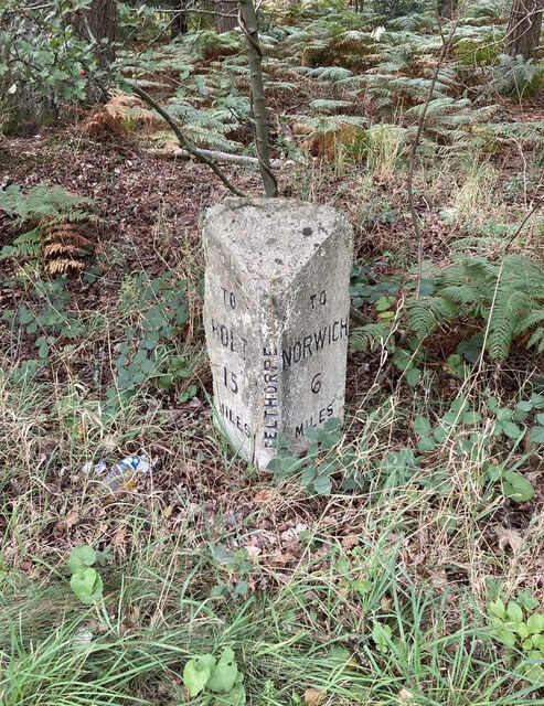
Felthorpe

Felthorpe is a village and civil parish in the English county of Norfolk. The village is located 11 miles (18 km) east of Dereham and 7.1 miles (11.4 km...

Horsford

Horsford is a village six miles north of Norwich, England which is surrounded by the Horsford Forest and is named after the dried up section of the River...

Thorpe Marriott

Thorpe Marriott is a residential area in Norfolk, England covering part of Taverham and Drayton parishes. Much of the housing was built in the latter part...

Taverham High School

Taverham High School is a secondary school and sixth form with academy status, located in Taverham in the English county of Norfolk. As well as serving...

Taverham

Taverham is a village and civil parish in Norfolk, in England. It is approximately 5 miles (8 km) north-west of Norwich. Taverham sits on the River Wensum...

Swannington Upgate Common

Swannington Upgate Common is a 20.5-hectare (51-acre) biological Site of Special Scientific Interest north-west of Norwich in Norfolk.This site has varied...

Drayton railway station

Drayton railway station is a former station in Norfolk, England. Constructed by the Midland and Great Northern Joint Railway in the 1880s, on the line...

Nearby Amenities

Located within 500m of 52.702555,1.2133417
Drayton Drewray, Open Access Area
Leisure: common
Lat/Long: 52.6995106/1.2161059
Felthorpe Common, Open Access Area
Leisure: common
Place: locality
Lat/Long: 52.7053945/1.2181965
Ford: yes
Lat/Long: 52.7047517/1.2167046
Drayton Drewray, Open Access Area
Place: locality
Lat/Long: 52.6988766/1.2167923
Material: wood
Power: pole
Lat/Long: 52.700682/1.2067172
Material: wood
Power: pole
Lat/Long: 52.699849/1.2080409
Material: wood
Power: pole
Lat/Long: 52.6990867/1.2093042
The data included in this document is from www.openstreetmap.org. The data is made available under ODbL.

Have you been to Dole Plantation?

Leave your review of Dole Plantation below (or comments, questions and feedback).