Dovehouse Plantation
Wood, Forest in Norfolk South Norfolk
England
Dovehouse Plantation

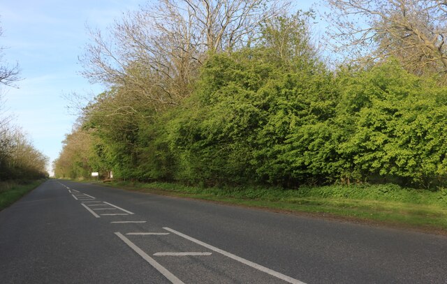
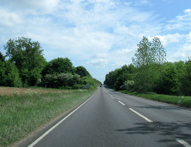
Dovehouse Plantation, located in Norfolk, England, is a picturesque wood and forest area that spans over several acres of land. Situated in the heart of the countryside, this natural haven offers a tranquil and serene escape from the hustle and bustle of everyday life.
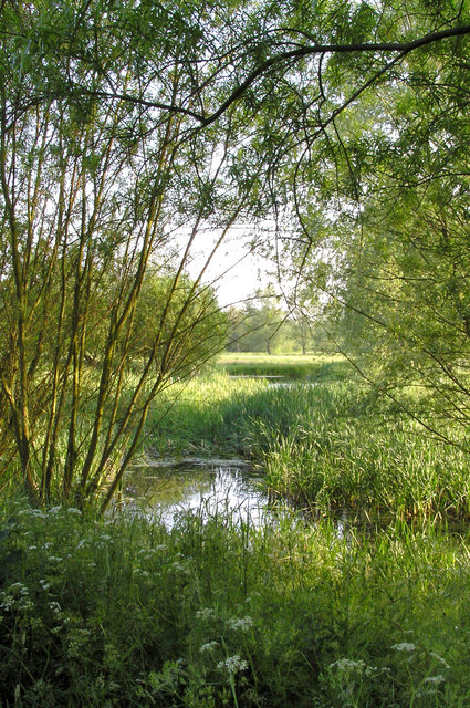
The plantation is home to a diverse range of plant and animal species, making it a popular destination for nature enthusiasts and wildlife lovers. The woodlands are primarily composed of native trees such as oak, beech, and ash, creating a rich and vibrant ecosystem. Various species of birds, including woodpeckers and owls, can be spotted throughout the area, adding to the enchanting atmosphere.
Visitors to Dovehouse Plantation can explore the numerous walking trails that wind their way through the forest, providing opportunities to immerse oneself in the beauty of nature. The pathways are well-maintained and offer both easy and more challenging routes, catering to all fitness levels. Along the trails, informative signs provide educational insights into the local flora and fauna, enhancing the overall experience.
In addition to its natural beauty, Dovehouse Plantation also offers recreational activities such as picnicking and camping. There are designated areas equipped with picnic tables, allowing visitors to enjoy a leisurely outdoor meal surrounded by the idyllic scenery. For those who wish to spend more time in this serene environment, camping facilities are available, providing an opportunity to stay overnight and truly immerse oneself in the peaceful ambiance of the plantation.
Overall, Dovehouse Plantation in Norfolk is a captivating wood and forest area that offers a multitude of experiences for nature enthusiasts. With its diverse wildlife, scenic walking trails, and recreational facilities, it is a must-visit destination for those seeking solace in the beauty of the natural world.
If you have any feedback on the listing, please let us know in the comments section below.
Dovehouse Plantation Images
Images are sourced within 2km of 52.369894/1.1890953 or Grid Reference TM1779. Thanks to Geograph Open Source API. All images are credited.


Dovehouse Plantation is located at Grid Ref: TM1779 (Lat: 52.369894, Lng: 1.1890953)
Administrative County: Norfolk
District: South Norfolk
Police Authority: Norfolk
What 3 Words
///budgeted.stylist.hunt. Near Scole, Norfolk
Nearby Locations
Related Wikis

Dickleburgh and Rushall
Dickleburgh and Rushall is a civil parish in South Norfolk. It covers an area of 14.90 km2 (5.75 sq mi) and had a population of 1356 in 565 households...
Billingford, South Norfolk
Billingford or Pirleston is a village and former civil parish, 19 miles (31 km) south of Norwich, now in the parish of Scole, in the South Norfolk district...
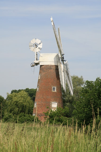
Billingford Windmill
Billingford Windmill is a grade II* listed brick tower mill at Billingford near Diss, Norfolk, England which has been preserved and restored to working...
River Dove, Suffolk
The River Dove is a river in the county of Suffolk. It is a tributary of the River Waveney starting near Bacton going through Eye to the Waveney. ��2...
Nearby Amenities
Located within 500m of 52.369894,1.1890953Have you been to Dovehouse Plantation?
Leave your review of Dovehouse Plantation below (or comments, questions and feedback).