Felthorpe Common

Wood, Forest in Norfolk Broadland

England

Felthorpe Common

Old Milepost by the B1149, north of Horsford, Felthorpe parish Concrete post by the B1149, in parish of Felthorpe (Broadland District), 10m North of pull-in/lay-by, on the verge overgrown by brambles and backed by woodland, on West side of road. NCC concrete, erected by the County Council in the 19th/20th century. 

Inscription reads:-
: TO / HOLT / 15 / MILES : : NCC / MAIN ROAD : : FELTHORPE : : TO / NORWICH / 6 / MILES :
Carved benchmark recorded.

Norfolk HER.
NHER Number: 56448 <span class="nowrap"><a title="https://www.heritagegateway.org.uk/Gateway/Results_Single.aspx?uid=MNF62856&resourceID=1002" rel="nofollow ugc noopener" href="https://www.heritagegateway.org.uk/Gateway/Results_Single.aspx?uid=MNF62856&resourceID=1002">Link</a><img style="margin-left:2px;" alt="External link" title="External link - shift click to open in new window" src="https://s1.geograph.org.uk/img/external.png" width="10" height="10"/></span>

Milestone Society National ID: NO_NH06
Old Milepost by the B1149, north of Horsford, Felthorpe parish Credit: Alan Lake

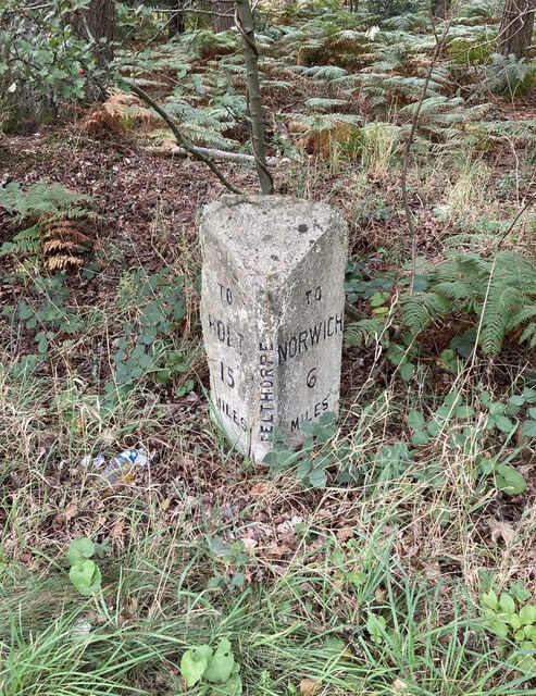
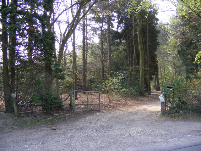
Felthorpe Common is a picturesque woodland located in Norfolk, England. Covering an area of approximately 92 hectares, the common is a designated Site of Special Scientific Interest (SSSI) due to its rich biodiversity and historical significance. The common is situated near the village of Felthorpe, about 12 kilometers north of Norwich.

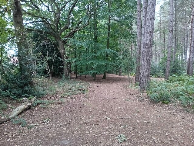
The woodland is predominantly made up of ancient oak and beech trees, creating a tranquil and serene atmosphere. The dense canopy allows only dappled sunlight to penetrate through, creating an enchanting play of light and shadows on the forest floor. The undergrowth is diverse, with a variety of ferns, mosses, and wildflowers adding color and texture to the landscape.

Felthorpe Common is renowned for its wildlife, attracting nature enthusiasts and birdwatchers. The woodland provides a habitat for numerous bird species, including woodpeckers, thrushes, and owls. Additionally, the common is home to a thriving population of deer, foxes, and small mammals.

The common has a rich history, with evidence of human activity dating back to the Bronze Age. Remnants of ancient earthworks and burial mounds can still be seen today, providing insight into the area's past. Felthorpe Common was also utilized as a training ground during World War II, with remnants of military structures still visible in some areas.

Today, Felthorpe Common offers visitors the opportunity to explore its natural beauty through a network of well-maintained footpaths and trails. It is a popular destination for hiking, birdwatching, and nature photography, allowing visitors to immerse themselves in the tranquility and natural wonders of this unique woodland.

If you have any feedback on the listing, please let us know in the comments section below.

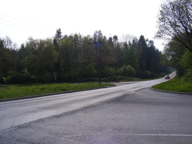
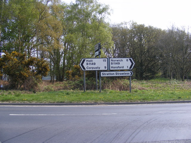
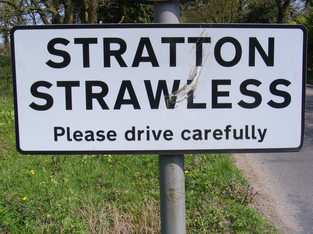
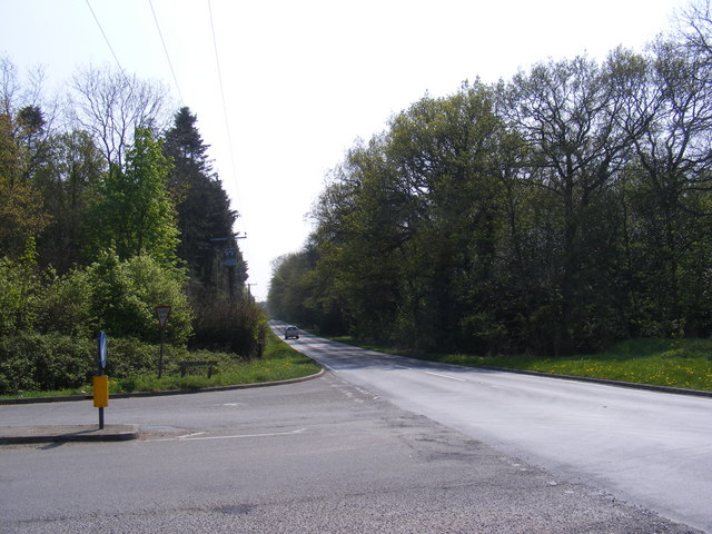
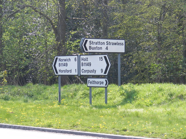
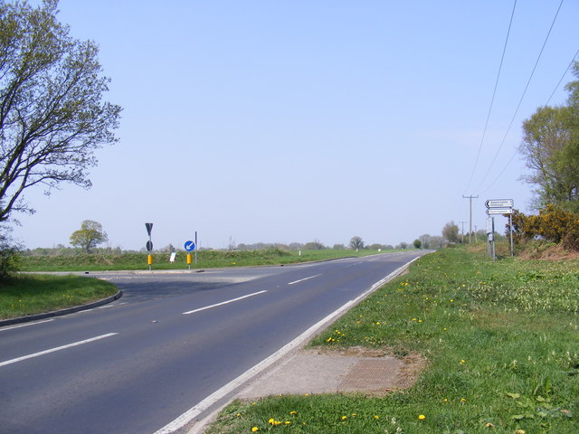
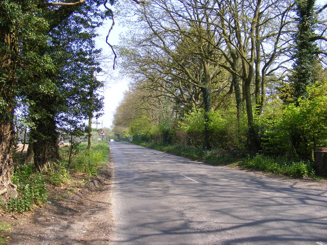
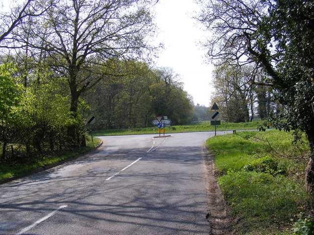
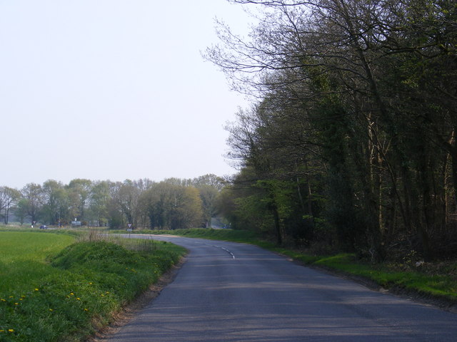
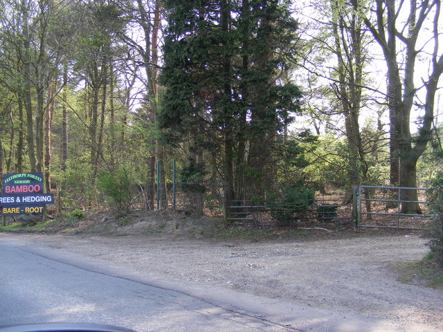
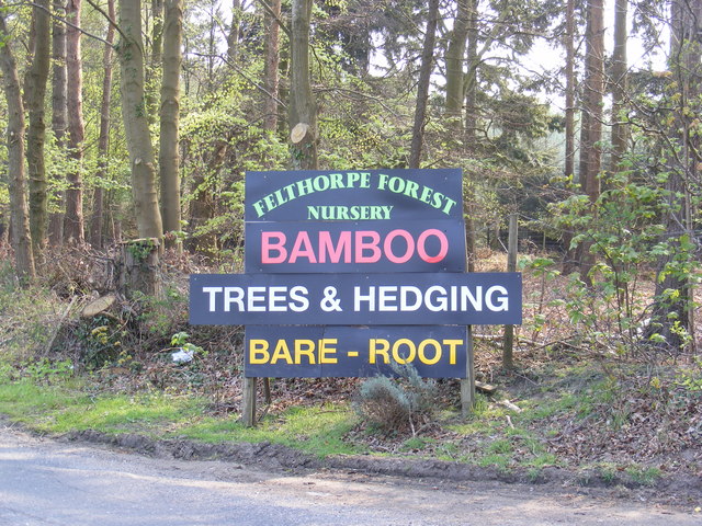
Felthorpe Common Images

Images are sourced within 2km of 52.705051/1.2191367 or Grid Reference TG1716. Thanks to Geograph Open Source API. All images are credited.

Old Milepost by the B1149, north of Horsford, Felthorpe parish Concrete post by the B1149, in parish of Felthorpe (Broadland District), 10m North of pull-in/lay-by, on the verge overgrown by brambles and backed by woodland, on West side of road. NCC concrete, erected by the County Council in the 19th/20th century. 

Inscription reads:-
: TO / HOLT / 15 / MILES : : NCC / MAIN ROAD : : FELTHORPE : : TO / NORWICH / 6 / MILES :
Carved benchmark recorded.

Norfolk HER.
NHER Number: 56448 <span class="nowrap"><a title="https://www.heritagegateway.org.uk/Gateway/Results_Single.aspx?uid=MNF62856&resourceID=1002" rel="nofollow ugc noopener" href="https://www.heritagegateway.org.uk/Gateway/Results_Single.aspx?uid=MNF62856&resourceID=1002">Link</a><img style="margin-left:2px;" alt="External link" title="External link - shift click to open in new window" src="https://s1.geograph.org.uk/img/external.png" width="10" height="10"/></span>

Milestone Society National ID: NO_NH06
Old Milepost by the B1149, north of Horsford, Felthorpe parish
Concrete post by the B1149, in parish of Felthorpe (Broadland District), 10m North of pull-in/lay-by, on the verge overgrown by brambles and backed by woodland, on West side of road. NCC concrete, erected by the County Council in the 19th/20th century. Inscription reads:- : TO / HOLT / 15 / MILES : : NCC / MAIN ROAD : : FELTHORPE : : TO / NORWICH / 6 / MILES : Carved benchmark recorded. Norfolk HER. NHER Number: 56448 LinkExternal link Milestone Society National ID: NO_NH06
Horsford Woods Popular woodland for walking.
Horsford Woods
Popular woodland for walking.
Short -Thorn Road Approaching the B1149 Holt Road
Short -Thorn Road
Approaching the B1149 Holt Road
Short -Thorn Road Approaching the B1149 Holt Road
Short -Thorn Road
Approaching the B1149 Holt Road
B1149 Holt Road Looking towards Short-Thorn Road at the junction with Short-Thorn Road
B1149 Holt Road
Looking towards Short-Thorn Road at the junction with Short-Thorn Road
Road signs on the B1149 Holt Road At the junction with Short-Thorn Road
Road signs on the B1149 Holt Road
At the junction with Short-Thorn Road
Stratton Strawless sign On Short-Thorn Road near the junction with the B1149 Holt Road
Stratton Strawless sign
On Short-Thorn Road near the junction with the B1149 Holt Road
Short -Thorn Road sign At the junction with the B1149 Holt Road
Short -Thorn Road sign
At the junction with the B1149 Holt Road
B1149 Holt Road Looking towards Horsford at the junction with Short-Thorn Road
B1149 Holt Road
Looking towards Horsford at the junction with Short-Thorn Road
Roadsigns on the B1149 Holt Road At the junction with Short-Thorn Road
Roadsigns on the B1149 Holt Road
At the junction with Short-Thorn Road
B1149 Holt Road Looking towards Haveringland Road
B1149 Holt Road
Looking towards Haveringland Road
Short -Thorn Road <span class="nowrap"><a title="https://en.wikipedia.org/wiki/Felthorpe" rel="nofollow ugc noopener" href="https://en.wikipedia.org/wiki/Felthorpe">Link</a><img style="margin-left:2px;" alt="External link" title="External link - shift click to open in new window" src="https://s1.geograph.org.uk/img/external.png" width="10" height="10"/></span>
Short -Thorn Road
Short -Thorn Road Approaching the B1149 Holt Road
Short -Thorn Road
Approaching the B1149 Holt Road
Short -Thorn Road, Felthorpe Approaching the B1149 Holt Road
Short -Thorn Road, Felthorpe
Approaching the B1149 Holt Road
The entrance to Felthorpe Forest Nursery Off Short-Thorn Road
The entrance to Felthorpe Forest Nursery
Off Short-Thorn Road
Felthorpe Forest Nursery sign Off Short-Thorn Road
Felthorpe Forest Nursery sign
Off Short-Thorn Road
The entrance to Felthorpe Forest Nursery Off Short-Thorn Road
The entrance to Felthorpe Forest Nursery
Off Short-Thorn Road
The Mariners Public House, Felthorpe On The Street
The Mariners Public House, Felthorpe
On The Street
Show me another place!

Felthorpe Common is located at Grid Ref: TG1716 (Lat: 52.705051, Lng: 1.2191367)

Administrative County: Norfolk

District: Broadland

Police Authority: Norfolk

What 3 Words

///requests.hilltop.riverboat. Near Horsford, Norfolk

Related Wikis

Horsford

Horsford is a village six miles north of Norwich, England which is surrounded by the Horsford Forest and is named after the dried up section of the River...

Felthorpe

Felthorpe is a village and civil parish in the English county of Norfolk. The village is located 11 miles (18 km) east of Dereham and 7.1 miles (11.4 km...

1966 Felthorpe Trident crash

On 3 June 1966, a newly built Hawker Siddeley Trident jetliner crashed during a pre-delivery test flight near the village of Felthorpe, Norfolk, England...

Thorpe Marriott

Thorpe Marriott is a residential area in Norfolk, England covering part of Taverham and Drayton parishes. Much of the housing was built in the latter part...

Nearby Amenities

Located within 500m of 52.705051,1.2191367
Felthorpe Common, Open Access Area
Leisure: common
Place: locality
Lat/Long: 52.7053945/1.2181965
Ford: yes
Lat/Long: 52.7047517/1.2167046
The data included in this document is from www.openstreetmap.org. The data is made available under ODbL.

Have you been to Felthorpe Common?

Leave your review of Felthorpe Common below (or comments, questions and feedback).