Fat Pasture Plantation
Wood, Forest in Norfolk South Norfolk
England
Fat Pasture Plantation
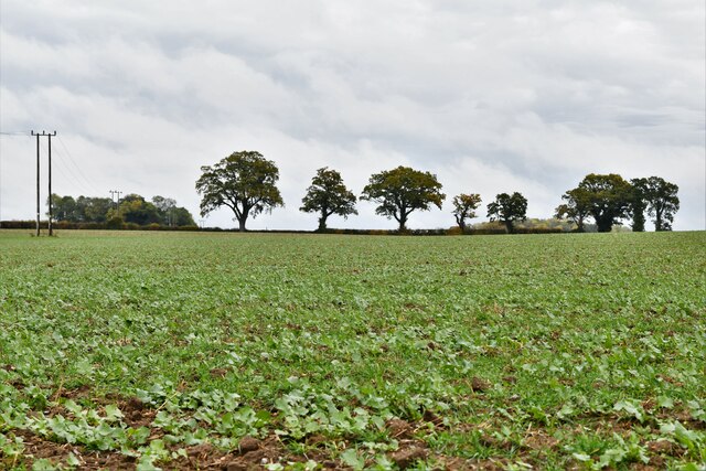
Fat Pasture Plantation, located in Norfolk, Virginia, is a historic woodland area known for its natural beauty and rich history. Covering an expansive area, the plantation is characterized by its dense forest and abundant wildlife.
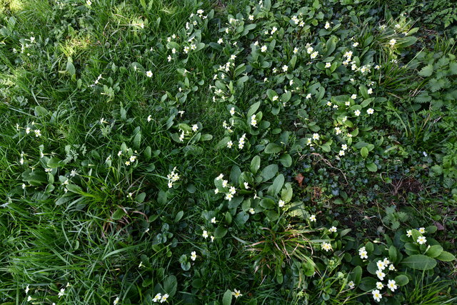
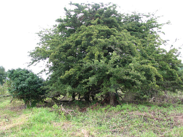
The plantation's name, Fat Pasture, derives from the fertile soil which allowed for prosperous farming during its early years. The woodland is primarily composed of various tree species, including oak, pine, and maple, which contribute to its picturesque landscape. The forest is home to a diverse range of flora and fauna, with numerous species of birds, mammals, and reptiles inhabiting the area.
Historically, Fat Pasture Plantation played a significant role in the region's agricultural development. The plantation was established in the 18th century and became a thriving center for tobacco cultivation. The fertile soil and favorable climate of the area contributed to the plantation's success, attracting settlers and laborers to the region.
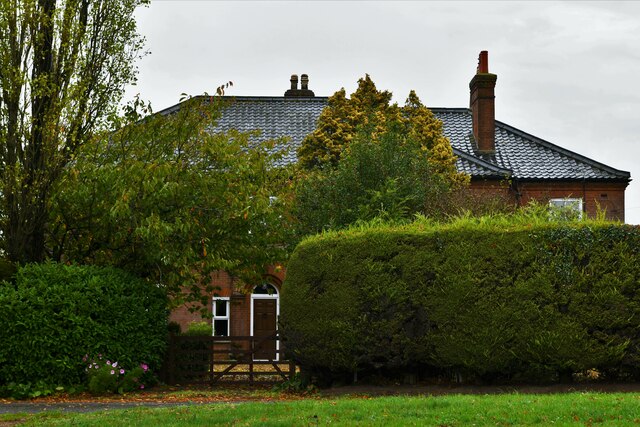
Today, Fat Pasture Plantation is cherished for its natural beauty and serves as a popular destination for nature enthusiasts and outdoor activities. The forest offers various recreational opportunities, including hiking, birdwatching, and photography. The well-maintained trails provide visitors with the chance to explore the diverse ecosystem and observe the abundant wildlife.
In addition to its natural attractions, Fat Pasture Plantation also hosts educational programs and events, aiming to promote environmental awareness and preservation. The plantation serves as a reminder of the area's rich history and offers visitors a serene and tranquil escape into nature.
If you have any feedback on the listing, please let us know in the comments section below.
Fat Pasture Plantation Images
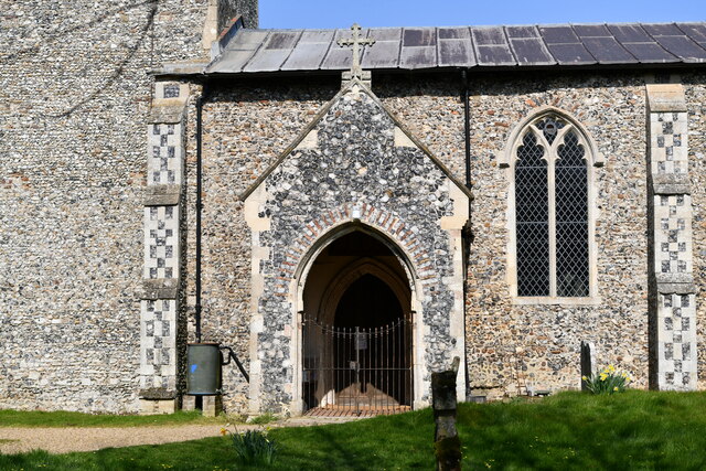
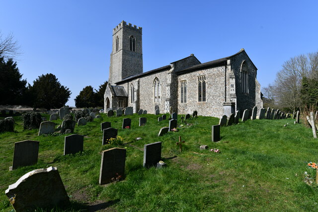
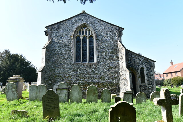
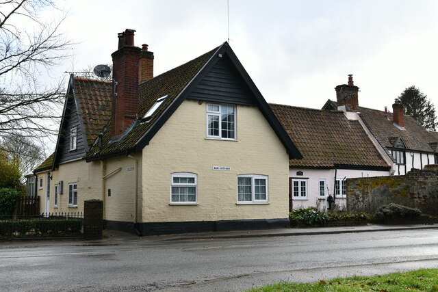
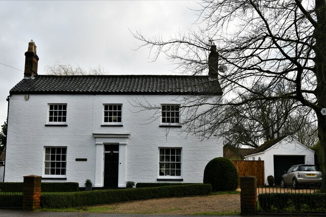
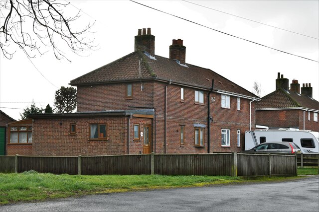
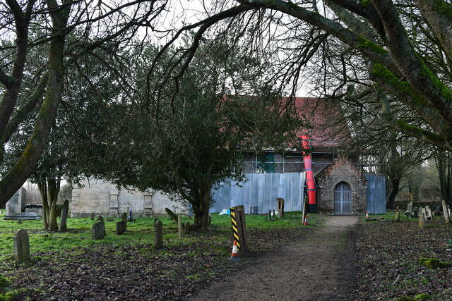
Images are sourced within 2km of 52.560963/1.2083476 or Grid Reference TG1700. Thanks to Geograph Open Source API. All images are credited.

Fat Pasture Plantation is located at Grid Ref: TG1700 (Lat: 52.560963, Lng: 1.2083476)
Administrative County: Norfolk
District: South Norfolk
Police Authority: Norfolk
What 3 Words
///centuries.erupts.into. Near Hethel, Norfolk
Nearby Locations
Related Wikis
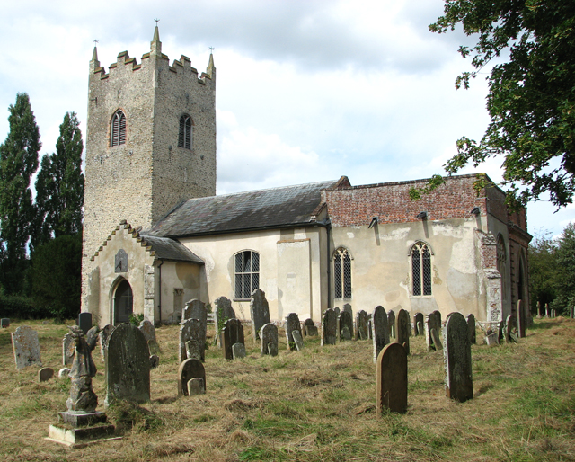
Hethel Old Thorn
Hethel Old Thorn is a 0.025-hectare (0.062-acre) nature reserve south-west of Norwich in Norfolk. It is managed by the Norfolk Wildlife Trust. This is...

Bracon Ash
Bracon Ash is a village and civil parish in the South Norfolk district of Norfolk, England. == History == Bracon Ash's name is of Anglo-Saxon origin and...

East Carleton
East Carleton is a village and civil parish in the English county of Norfolk. The village is located 6.3 kilometres (3.9 mi) east of nearby Wymondham and...
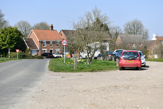
Hethel
Hethel is a small village in the civil parish of Bracon Ash, in the South Norfolk district, in Norfolk, England, approximately five miles (8.0 km) southeast...
Nearby Amenities
Located within 500m of 52.560963,1.2083476Have you been to Fat Pasture Plantation?
Leave your review of Fat Pasture Plantation below (or comments, questions and feedback).