Flat Watson's Clump
Wood, Forest in Norfolk Broadland
England
Flat Watson's Clump
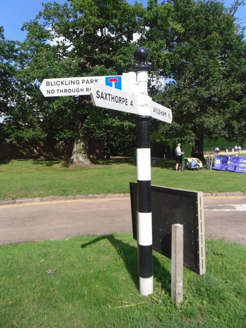
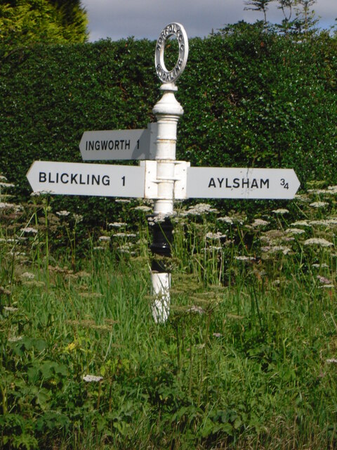
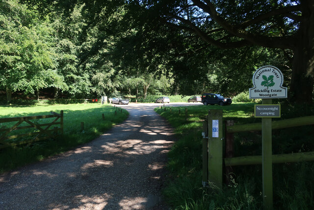
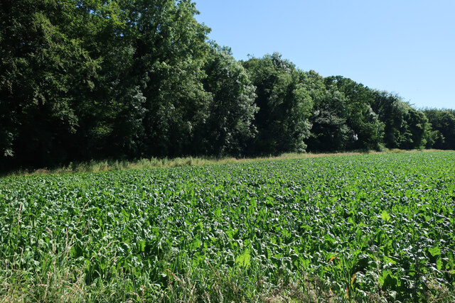
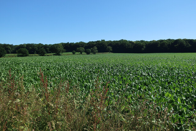
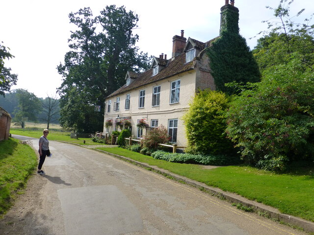
Flat Watson’s Clump is a small woodland located in Norfolk, England. Situated near the village of Watson’s Clump, the forest covers an area of approximately 10 acres. The woodland is characterized by its flat terrain, hence the name, and is a popular destination for nature lovers and outdoor enthusiasts.
The forest is predominantly composed of a mixture of deciduous and coniferous trees, including oak, beech, pine, and fir. These trees provide a diverse habitat for a wide range of wildlife, including various bird species, small mammals, and insects. The forest floor is covered in a thick layer of leaf litter, creating a rich ecosystem supporting a variety of plants and fungi.
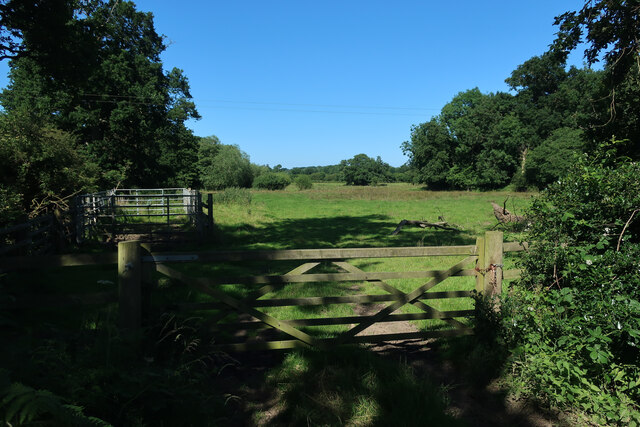
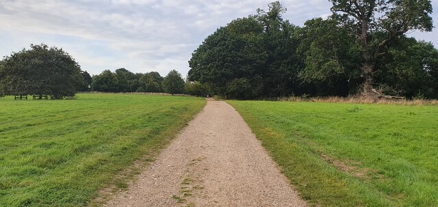
Flat Watson’s Clump offers several walking trails, allowing visitors to explore the woodland and enjoy the tranquil surroundings. The paths are well-maintained, making it accessible to people of all ages and abilities. The forest also features a picnic area, providing a perfect spot for visitors to relax and enjoy a meal amidst the natural beauty.
The woodland is managed by the local conservation authority, who work to preserve its natural habitats and protect the wildlife within. They also organize guided nature walks and educational programs to promote awareness and understanding of the forest’s ecological importance.
Overall, Flat Watson’s Clump is a picturesque woodland in Norfolk, offering visitors the opportunity to connect with nature, enjoy leisurely walks, and appreciate the diverse flora and fauna that thrive within its boundaries.
If you have any feedback on the listing, please let us know in the comments section below.
Flat Watson's Clump Images
Images are sourced within 2km of 52.821363/1.2273473 or Grid Reference TG1729. Thanks to Geograph Open Source API. All images are credited.


Flat Watson's Clump is located at Grid Ref: TG1729 (Lat: 52.821363, Lng: 1.2273473)
Administrative County: Norfolk
District: Broadland
Police Authority: Norfolk
What 3 Words
///install.awestruck.palms. Near Aylsham, Norfolk
Nearby Locations
Related Wikis

Moorgate, Norfolk
Moorgate is a village to the north of Aylsham in the county of Norfolk, England.

Scarrow Beck
Scarrow Beck is a minor watercourse which rises in the north of the English county of Norfolk. It is a tributary of the River Bure. Its spring is in the...
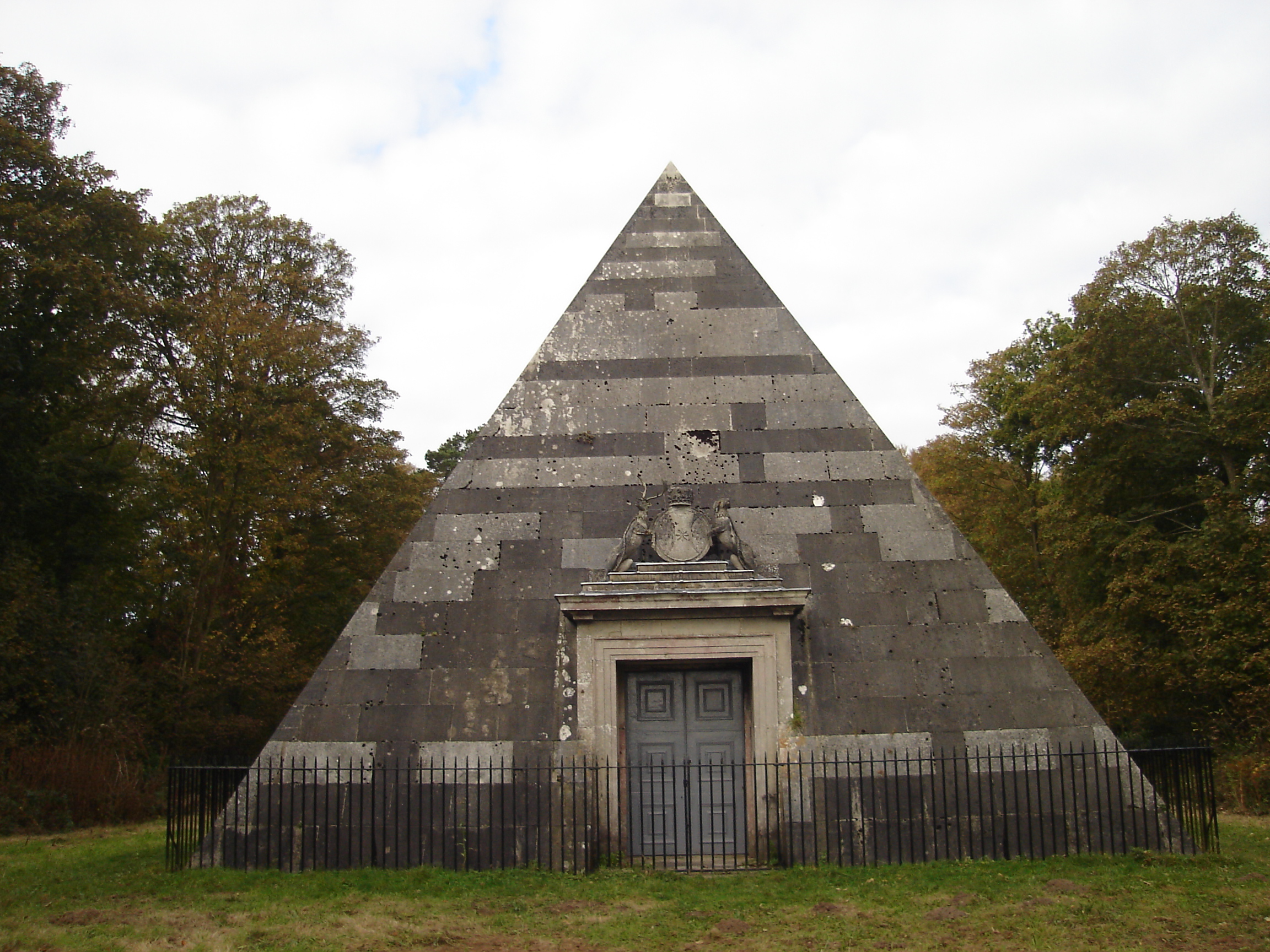
Blickling Park mausoleum
The Blickling Park mausoleum is a Grade II* listed building in the grounds of Blickling Hall, Norfolk, England. It was commissioned in 1793 by Lady Caroline...

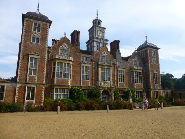
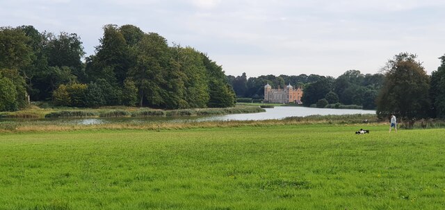
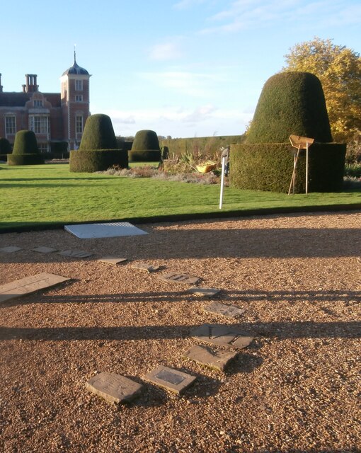
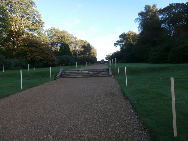
Blickling Hall
Blickling Hall is a Jacobean stately home situated in 5,000 acres of parkland in a loop of the River Bure, near the village of Blickling north of Aylsham...

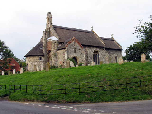
Blickling
Blickling is a village and civil parish in the Broadland district of Norfolk, England, about 1.5 miles (2.4 km) north-west of Aylsham. In the 2011 census...
Ingworth
Ingworth is a village and a civil parish in the English county of Norfolk. It is 1.7 miles (2.7 km) north of Aylsham, 14.3 miles (23.0 km) north of Norwich...
Calthorpe, Norfolk
Calthorpe is a small village and former civil parish, now in the parish of Erpingham, in the North Norfolk district, in the county of Norfolk, England...

Wolterton Hall
Wolterton Hall, is a large country house in the ecclesiastical parish of Wickmere with Wolterton and the civil parish of Wickmere in the county of Norfolk...
Nearby Amenities
Located within 500m of 52.821363,1.2273473Have you been to Flat Watson's Clump?
Leave your review of Flat Watson's Clump below (or comments, questions and feedback).