Bennet's Grove

Wood, Forest in Norfolk Broadland

England

Bennet's Grove

Cottages on the Blickling Hall Estate
Cottages on the Blickling Hall Estate Credit: Raymond Knapman

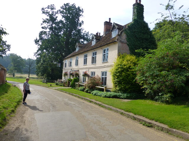
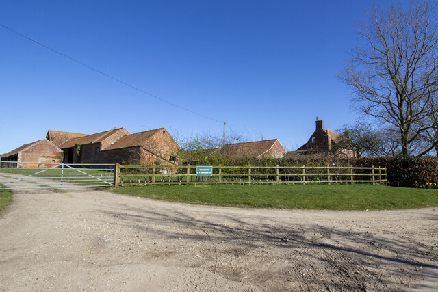
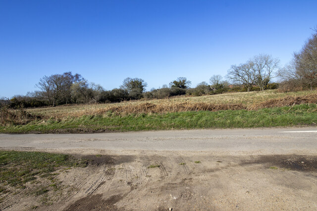
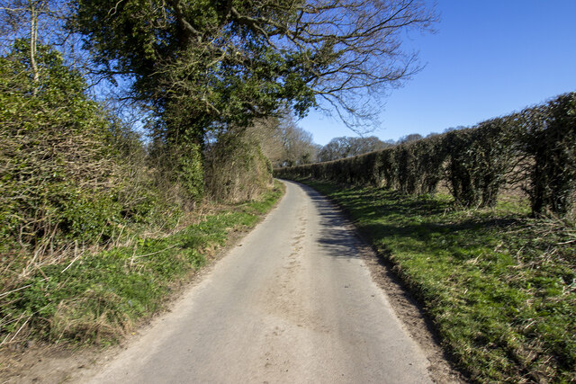
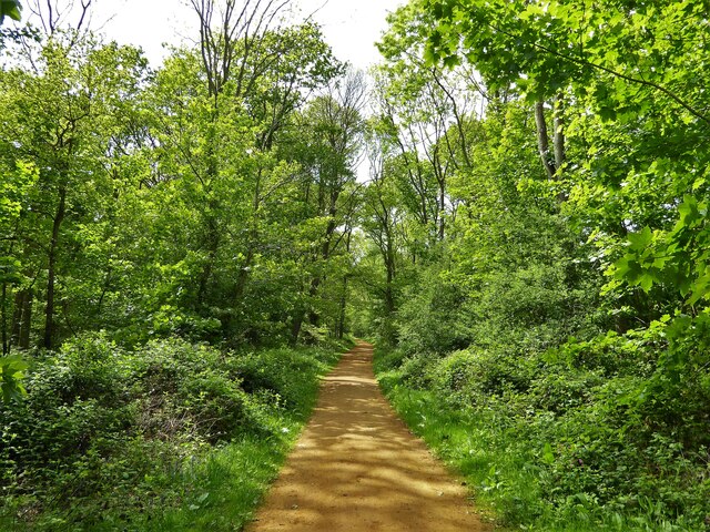
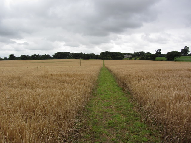
Bennet's Grove, located in Norfolk, is a serene and picturesque woodland area encompassing a vast expanse of natural beauty. Nestled amidst the rolling countryside, this forested area is a haven for nature enthusiasts and those seeking solace in the great outdoors.

Covering an area of approximately 500 acres, Bennet's Grove is primarily composed of ancient oak and beech trees, which provide a dense canopy and a sense of enchantment. The forest floor is rich with a diverse array of flora, including wildflowers, ferns, and mosses, adding to the overall charm and biodiversity of the grove.

Walking through the woodlands, visitors will encounter a network of well-maintained trails that meander through the forest, offering opportunities for exploration and adventure. These paths lead to hidden gems such as a tranquil pond and a babbling brook, which further enhance the allure of the area.

Bennet's Grove is not only a haven for nature lovers but also serves as an important habitat for a variety of wildlife species. Birdwatchers can spot a myriad of avian species, including woodpeckers, owls, and warblers. Mammals such as deer, foxes, and rabbits also call this forest their home.

The grove is open to the public year-round, attracting visitors who engage in activities such as hiking, birdwatching, and photography. Its peaceful ambiance and breathtaking scenery make it an ideal destination for those seeking a respite from the bustling city life.

Overall, Bennet's Grove stands as a testament to the enduring beauty of nature, offering a tranquil retreat where one can immerse themselves in the wonders of the natural world.

If you have any feedback on the listing, please let us know in the comments section below.

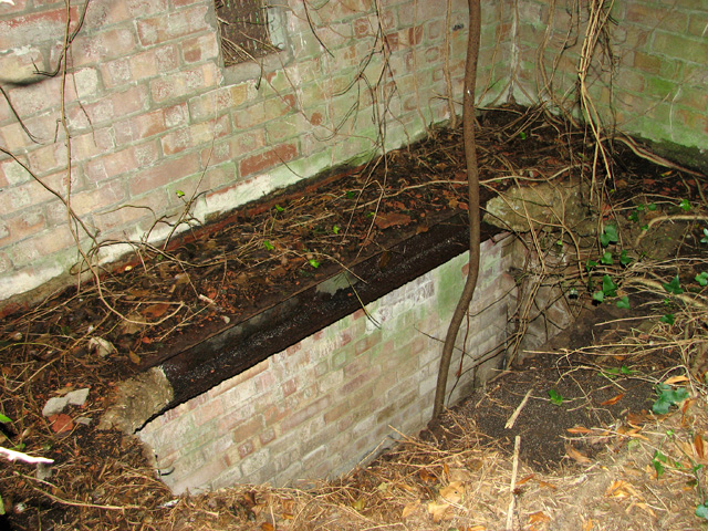
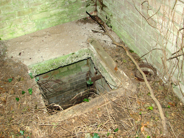
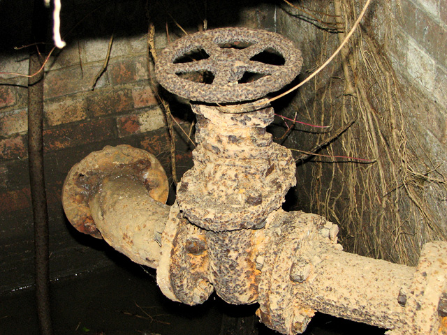
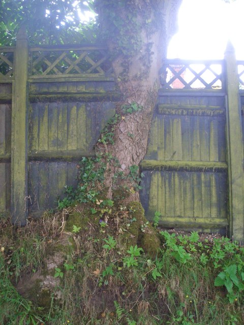
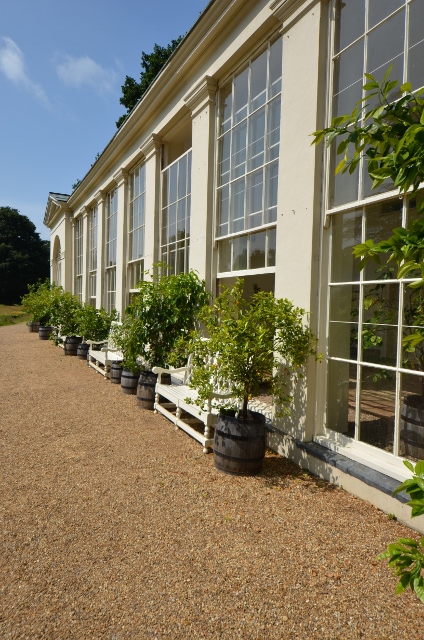
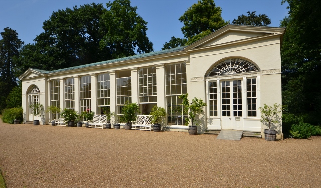
Bennet's Grove Images

Images are sourced within 2km of 52.793872/1.2203551 or Grid Reference TG1726. Thanks to Geograph Open Source API. All images are credited.

Cottages on the Blickling Hall Estate
Wood Farm Vernacular farm buildings at Wood Farm
Wood Farm
Vernacular farm buildings at Wood Farm
Abel Heath Open access land at Abel Heath
Abel Heath
Open access land at Abel Heath
Aylsham Road Hedgerows and hedgerow trees on Aylsham Road
Aylsham Road
Hedgerows and hedgerow trees on Aylsham Road
Blickling Estate Boundary Walk Entering the Long Plantation heading towards The Tower
Blickling Estate Boundary Walk
Entering the Long Plantation heading towards The Tower
Footpath from St Michael's church yard This footpath leads towards Blickling Road.
Footpath from St Michael's church yard
This footpath leads towards Blickling Road.
Field, Blickling
Field, Blickling
Ivy-clad building on the edge of Oulton Belt See also > <a title="https://www.geograph.org.uk/photo/687213" href="https://www.geograph.org.uk/photo/687213">Link</a>. This was a pumping station serving the RAF Oulton campsites adjoining it in the west and south-west.
Ivy-clad building on the edge of Oulton Belt
See also > Link. This was a pumping station serving the RAF Oulton campsites adjoining it in the west and south-west.
Pumphouse interior Vandals have smashed the thick concrete cover, making the building dangerous to enter. There is no telling as to how deep the drop or the accumulation of black liquid at the bottom might be. For an exterior view see > <a title="https://www.geograph.org.uk/photo/687213" href="https://www.geograph.org.uk/photo/687213">Link</a>.
Pumphouse interior
Vandals have smashed the thick concrete cover, making the building dangerous to enter. There is no telling as to how deep the drop or the accumulation of black liquid at the bottom might be. For an exterior view see > Link.
Pumphouse interior Vandals have smashed the thick concrete cover and the adjoining manhole cover has been removed, making the building dangerous to enter. There is no telling as to how deep the drop or the accumulation of black liquid at the bottom might be. For an exterior view see > <a title="https://www.geograph.org.uk/photo/687213" href="https://www.geograph.org.uk/photo/687213">Link</a>.
Pumphouse interior
Vandals have smashed the thick concrete cover and the adjoining manhole cover has been removed, making the building dangerous to enter. There is no telling as to how deep the drop or the accumulation of black liquid at the bottom might be. For an exterior view see > Link.
Pumphouse interior Vandals have smashed the thick concrete cover, making the building dangerous to enter. There is no telling as to how deep the drop or the accumulation of black liquid at the bottom might be. This is one of the underground pipes. For an exterior view see > <a title="https://www.geograph.org.uk/photo/687213" href="https://www.geograph.org.uk/photo/687213">Link</a>.
Pumphouse interior
Vandals have smashed the thick concrete cover, making the building dangerous to enter. There is no telling as to how deep the drop or the accumulation of black liquid at the bottom might be. This is one of the underground pipes. For an exterior view see > Link.
Tree / fence interface Opposite St Michael's Primary School. The fence has actually been trimmed to accommodate the tree, it's not quite the "tree eats fence" story it first appears.
Tree / fence interface
Opposite St Michael's Primary School. The fence has actually been trimmed to accommodate the tree, it's not quite the "tree eats fence" story it first appears.
On the Weaver's Way leading towards Silvergate, northwest  of Aylsham
On the Weaver's Way leading towards Silvergate, northwest of Aylsham
Buckinghamshire Arms PH, Blickling
The Feathers
The Feathers
Converted windmill
Converted windmill
Blickling Hall - Orangery A rather nice orangery forproducing 'rare' citrus fruits. 
Certainly a good day for them.
Blickling Hall - Orangery
A rather nice orangery forproducing 'rare' citrus fruits. Certainly a good day for them.
Blickling Hall - Orangery A rather nice orangery forproducing 'rare' citrus fruits. 
Certainly a good day for them.
Blickling Hall - Orangery
A rather nice orangery forproducing 'rare' citrus fruits. Certainly a good day for them.
Show me another place!

Bennet's Grove is located at Grid Ref: TG1726 (Lat: 52.793872, Lng: 1.2203551)

Administrative County: Norfolk

District: Broadland

Police Authority: Norfolk

What 3 Words

///limelight.seasons.enhances. Near Aylsham, Norfolk

Related Wikis

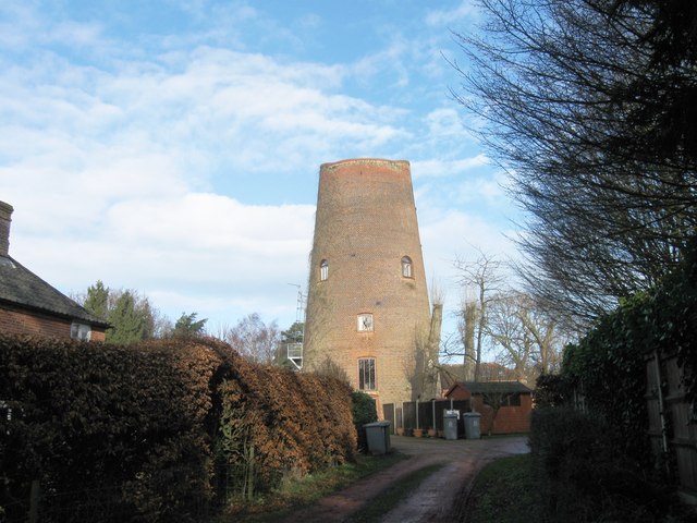
Cawston Road Mill, Aylsham

Cawston Road Mill is a tower mill at Aylsham, Norfolk, England which has been truncated and converted for use as a holiday home. == History == Cawston...

The Mermaid (river)

The Mermaid (river) is a minor tributary of the River Bure in Norfolk, England, and is approximately 6 kilometres (3.7 mi) in length. == Course == The...

Blickling

Blickling is a village and civil parish in the Broadland district of Norfolk, England, about 1.5 miles (2.4 km) north-west of Aylsham. In the 2011 census...

Church of St Michael, Aylsham

The Church of St Michael and All Angels, Aylsham, Norfolk, is a church of medieval origins that was built in the 14th century under the patronage of John...

Aylsham Town Hall

Aylsham Town Hall is a municipal building in the Market Place in Aylsham, Norfolk, England. The structure, which accommodates the offices and meeting place...

Blickling Hall

Blickling Hall is a Jacobean stately home situated in 5,000 acres of parkland in a loop of the River Bure, near the village of Blickling north of Aylsham...

Aylsham South railway station

Aylsham South railway station served the town of Aylsham in Norfolk from 1880 to 1981. The period station buildings were subsequently demolished in 1989...

Aylsham railway station

Aylsham railway station is located in the town of Aylsham in Norfolk and is the northern terminus of the Bure Valley Railway, a narrow gauge operation...

Nearby Amenities

Located within 500m of 52.793872,1.2203551
Power: pole
Lat/Long: 52.7943788/1.2131792
Power: pole
Lat/Long: 52.7947031/1.2150755
Power: pole
Lat/Long: 52.7950924/1.2170175
Power: pole
Lat/Long: 52.795583/1.2183076
Power: pole
Lat/Long: 52.7961466/1.2196434
Power: pole
Lat/Long: 52.7965764/1.2207752
Power: pole
Lat/Long: 52.7970791/1.2220493
Power: pole
Lat/Long: 52.7975835/1.2233287
Parking
Access: yes
Fee: no
Parking: surface
Surface: compacted
Lat/Long: 52.7923765/1.2265065
The data included in this document is from www.openstreetmap.org. The data is made available under ODbL.

Have you been to Bennet's Grove?

Leave your review of Bennet's Grove below (or comments, questions and feedback).