Coronation Clump
Wood, Forest in Norfolk Broadland
England
Coronation Clump
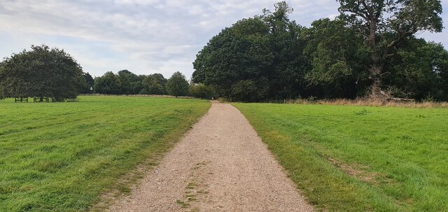
Coronation Clump is a picturesque woodland located in the county of Norfolk, England. Situated near the village of Wood, this beautiful forest covers an area of approximately 50 acres and is a popular destination for nature lovers and outdoor enthusiasts.
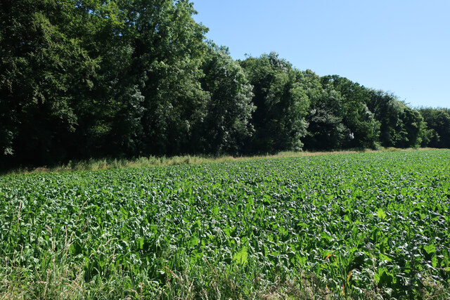
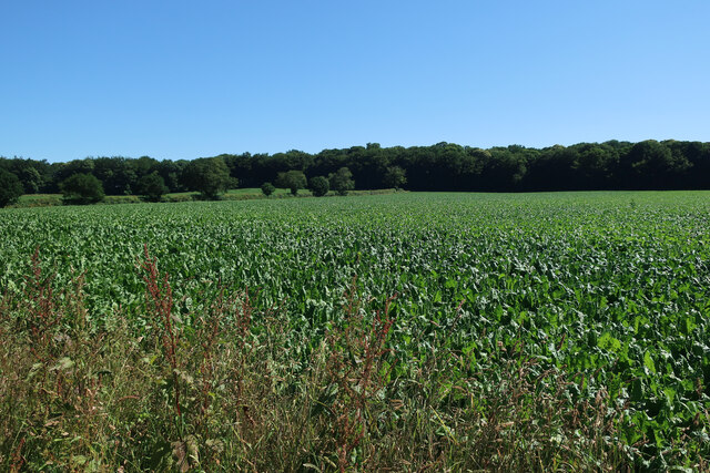
The name "Coronation Clump" is derived from the planting of trees to commemorate the coronation of Queen Elizabeth II in 1953. The forest consists mainly of native broadleaf trees, including oak, birch, and beech, creating a diverse and vibrant ecosystem. The trees stand tall and majestic, providing a peaceful and tranquil atmosphere for visitors to enjoy.
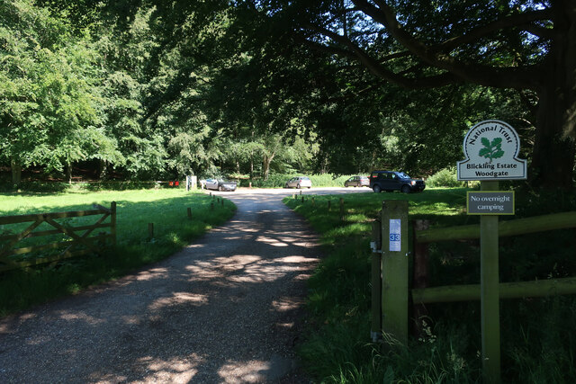
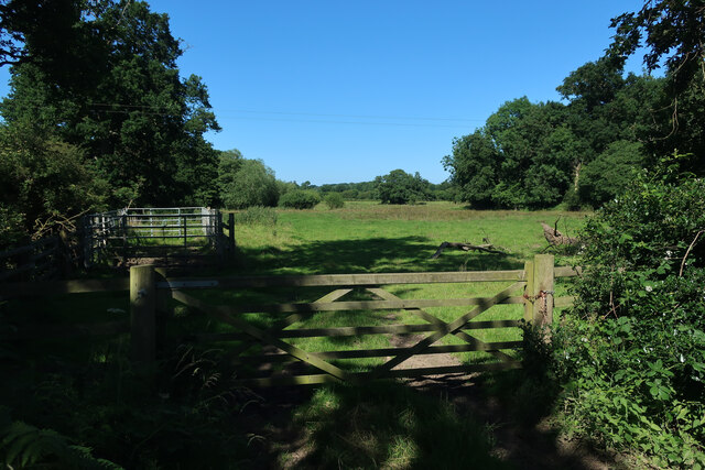
The woodland is well-maintained, with clearly marked paths and trails that allow visitors to explore the forest and immerse themselves in its natural beauty. It is a haven for wildlife, with various bird species, small mammals, and insects calling the forest their home.
Coronation Clump offers a range of recreational activities, including walking, jogging, and birdwatching. The forest is also a popular spot for families to have picnics and enjoy the fresh air. There are designated picnic areas with benches and tables, as well as open spaces for children to play.
The forest is easily accessible, with ample parking available nearby. It is a short distance from Wood village, where visitors can find amenities such as cafes, shops, and accommodations.
Overall, Coronation Clump is a charming woodland that offers a peaceful retreat from the hustle and bustle of daily life. Its natural beauty, diverse wildlife, and recreational opportunities make it a must-visit destination for nature enthusiasts in Norfolk.
If you have any feedback on the listing, please let us know in the comments section below.
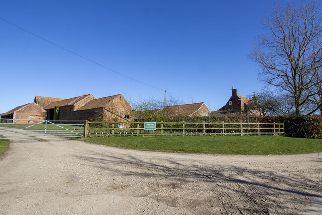
Coronation Clump Images
Images are sourced within 2km of 52.806984/1.2130585 or Grid Reference TG1628. Thanks to Geograph Open Source API. All images are credited.

Coronation Clump is located at Grid Ref: TG1628 (Lat: 52.806984, Lng: 1.2130585)
Administrative County: Norfolk
District: Broadland
Police Authority: Norfolk
What 3 Words
///galaxies.laptops.warblers. Near Aylsham, Norfolk
Nearby Locations
Related Wikis

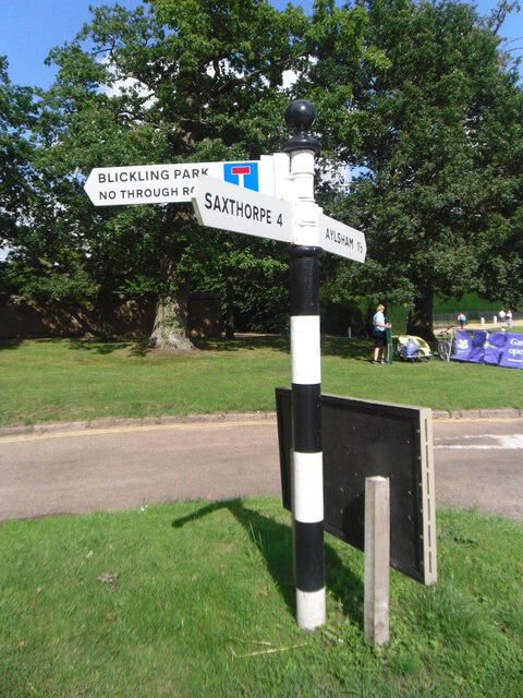
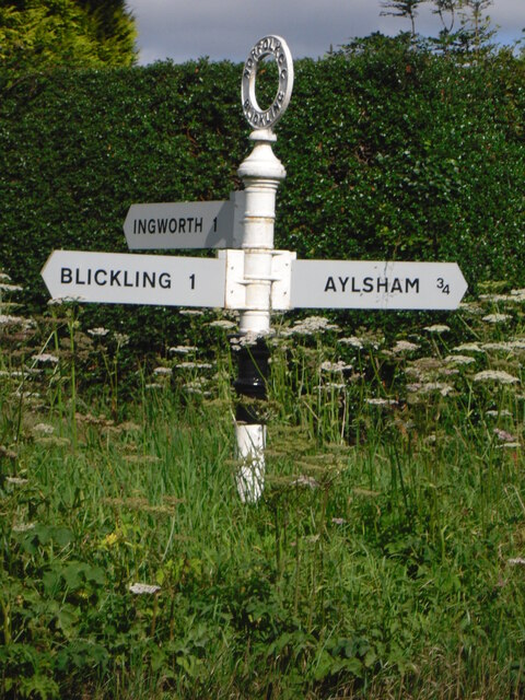
Blickling
Blickling is a village and civil parish in the Broadland district of Norfolk, England, about 1.5 miles (2.4 km) north-west of Aylsham. In the 2011 census...
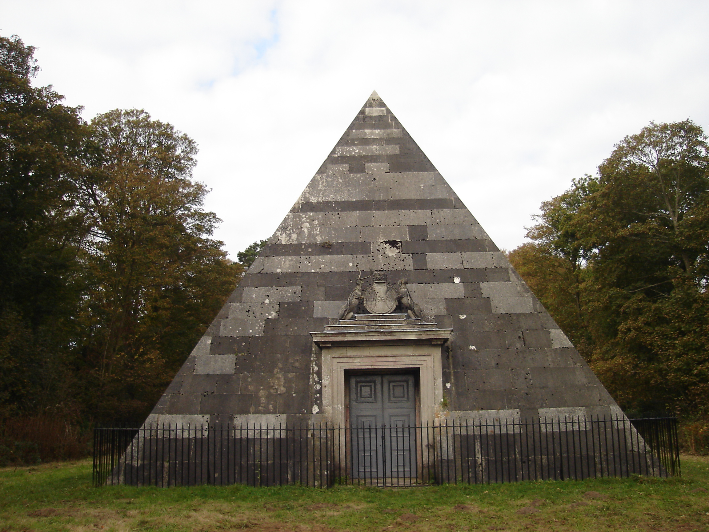
Blickling Park mausoleum
The Blickling Park mausoleum is a Grade II* listed building in the grounds of Blickling Hall, Norfolk, England. It was commissioned in 1793 by Lady Caroline...
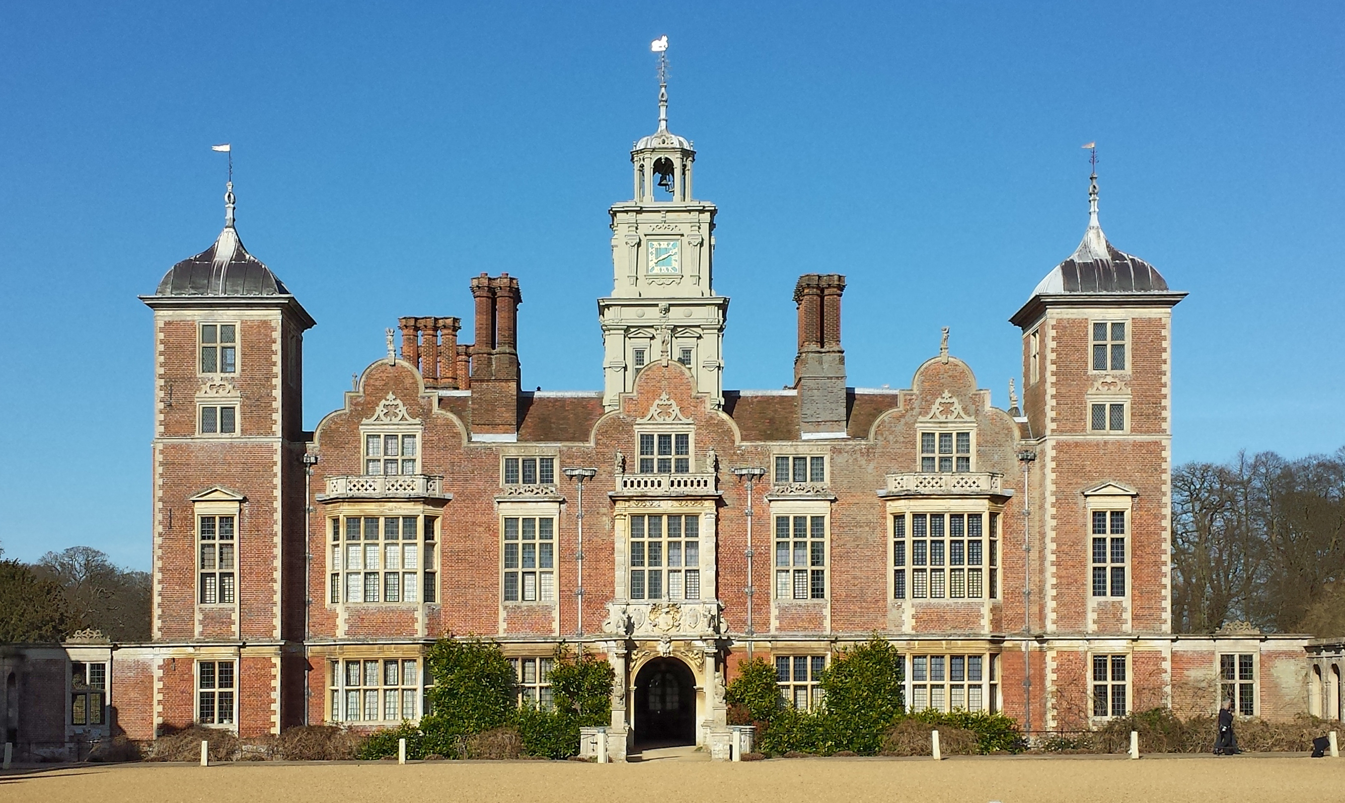
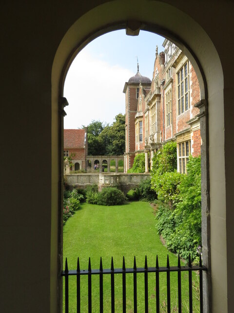
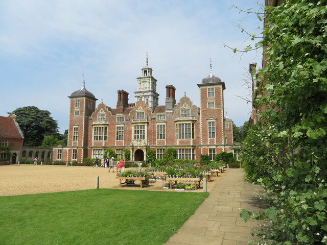
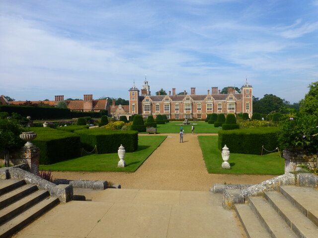
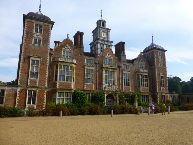
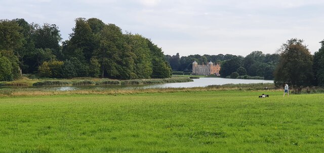
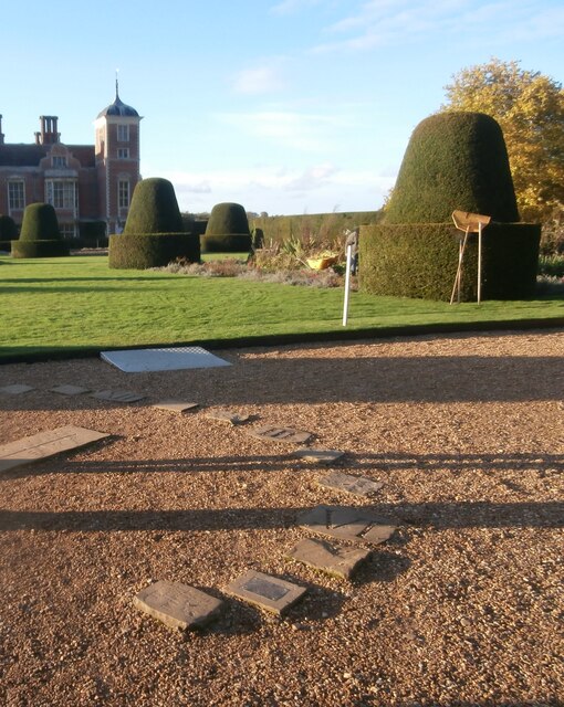
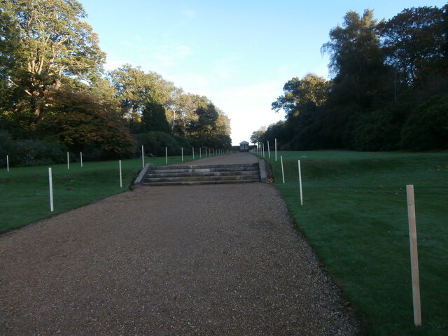
Blickling Hall
Blickling Hall is a Jacobean stately home situated in 5,000 acres of parkland in a loop of the River Bure, near the village of Blickling north of Aylsham...

Moorgate, Norfolk
Moorgate is a village to the north of Aylsham in the county of Norfolk, England.

RAF Oulton
Royal Air Force Oulton or more simply RAF Oulton is a former Royal Air Force satellite station located 3 miles (4.8 km) west of Aylsham, Norfolk and 12...

Scarrow Beck
Scarrow Beck is a minor watercourse which rises in the north of the English county of Norfolk. It is a tributary of the River Bure. Its spring is in the...

Cawston Road Mill, Aylsham
Cawston Road Mill is a tower mill at Aylsham, Norfolk, England which has been truncated and converted for use as a holiday home. == History == Cawston...

Church of St Michael, Aylsham
The Church of St Michael and All Angels, Aylsham, Norfolk, is a church of medieval origins that was built in the 14th century under the patronage of John...
Nearby Amenities
Located within 500m of 52.806984,1.2130585Have you been to Coronation Clump?
Leave your review of Coronation Clump below (or comments, questions and feedback).