Hercules Wood
Wood, Forest in Norfolk Broadland
England
Hercules Wood
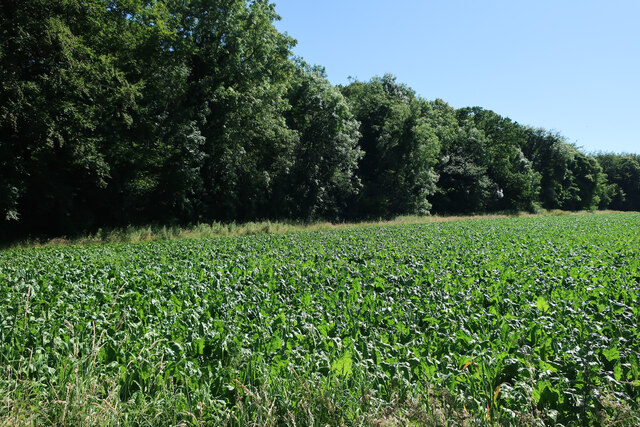
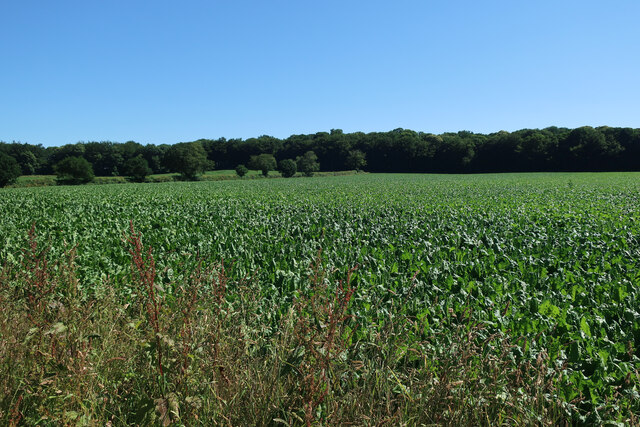
Hercules Wood, located in Norfolk, England, is a picturesque forest that spans across an area of approximately 200 acres. This tranquil woodland is renowned for its natural beauty and rich biodiversity, attracting nature enthusiasts and hikers alike.
The wood is predominantly composed of various species of broadleaved trees, including oak, beech, and birch, which create a dense canopy overhead. These towering trees provide shade, shelter, and a vibrant habitat for a diverse range of wildlife. Visitors can expect to encounter an array of bird species, such as woodpeckers, owls, and jays, as well as small mammals like deer, foxes, and squirrels.
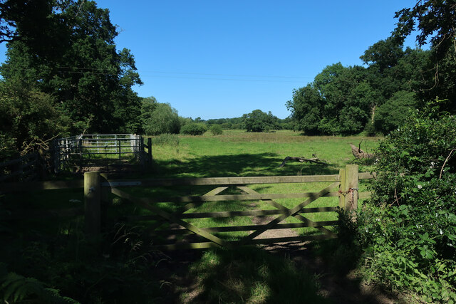
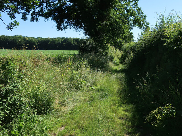
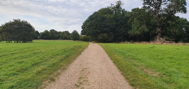
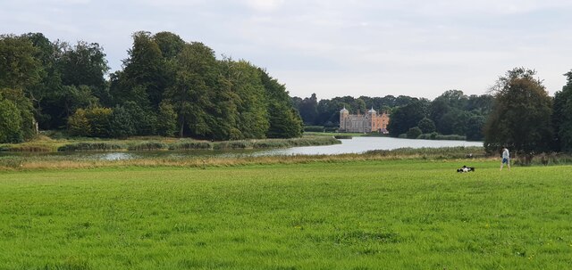
Tranquility is a defining feature of Hercules Wood, as it offers a peaceful escape from the hustle and bustle of city life. Crisscrossed by well-maintained pathways, the wood provides numerous opportunities for leisurely walks, jogging, or cycling. The paths meander through the forest, revealing hidden clearings, babbling brooks, and even a small pond, creating a serene ambiance.
For those interested in the history of the area, Hercules Wood boasts a rich cultural heritage. It is believed that the wood has been in existence for centuries, with remnants of ancient settlements and archaeological finds providing evidence of human activity in the area during the Iron Age and Roman times.
Overall, Hercules Wood in Norfolk offers a captivating natural environment, making it an ideal destination for nature lovers, outdoor enthusiasts, and individuals seeking tranquility amidst the beauty of the forest.
If you have any feedback on the listing, please let us know in the comments section below.
Hercules Wood Images
Images are sourced within 2km of 52.807104/1.2102921 or Grid Reference TG1628. Thanks to Geograph Open Source API. All images are credited.


Hercules Wood is located at Grid Ref: TG1628 (Lat: 52.807104, Lng: 1.2102921)
Administrative County: Norfolk
District: Broadland
Police Authority: Norfolk
What 3 Words
///golden.decking.popping. Near Aylsham, Norfolk
Nearby Locations
Related Wikis
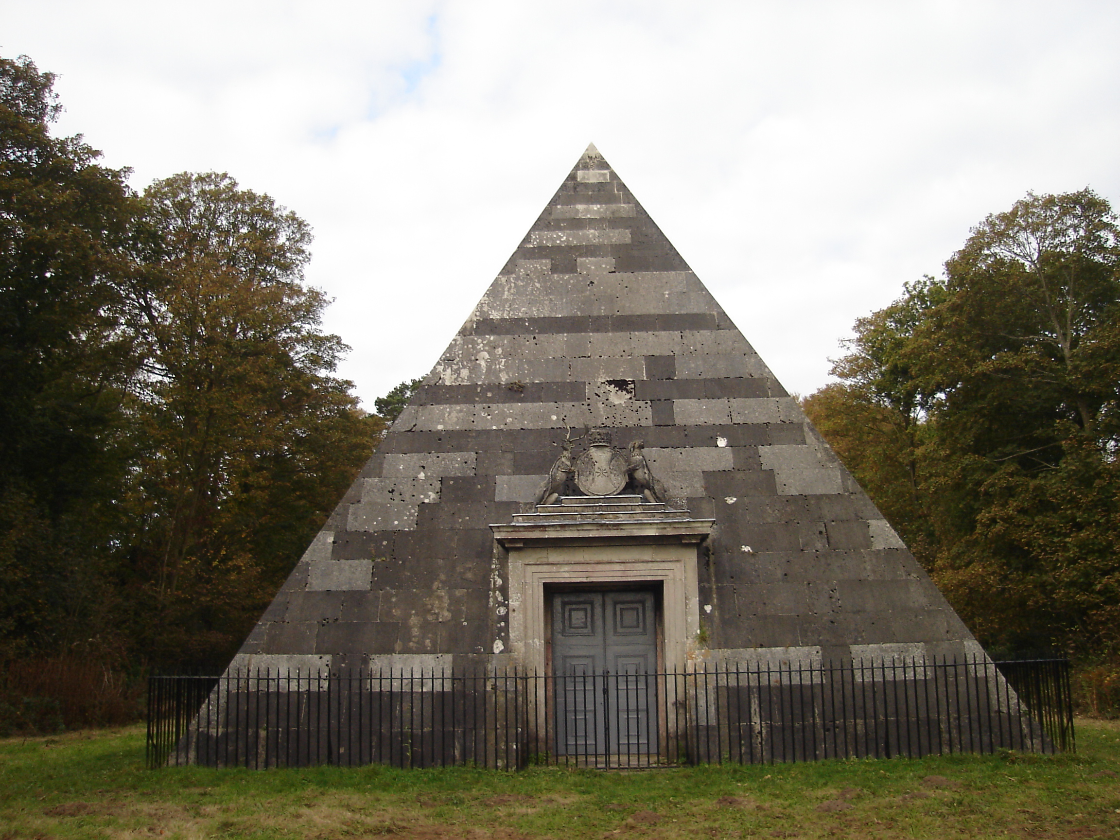
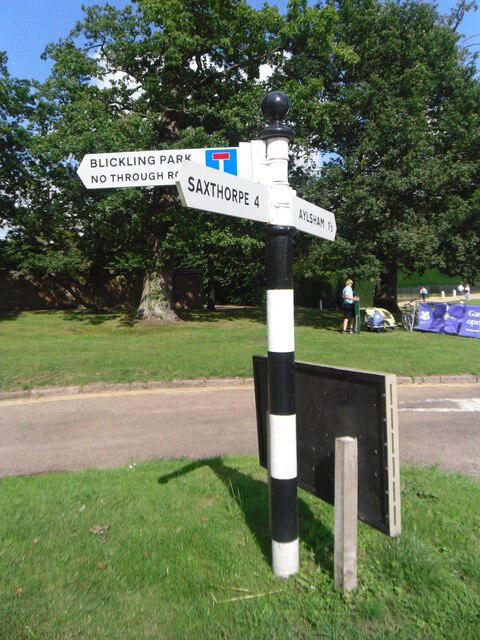
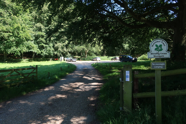
Blickling Park mausoleum
The Blickling Park mausoleum is a Grade II* listed building in the grounds of Blickling Hall, Norfolk, England. It was commissioned in 1793 by Lady Caroline...

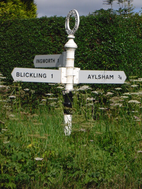
Blickling
Blickling is a village and civil parish in the Broadland district of Norfolk, England, about 1.5 miles (2.4 km) north-west of Aylsham. In the 2011 census...
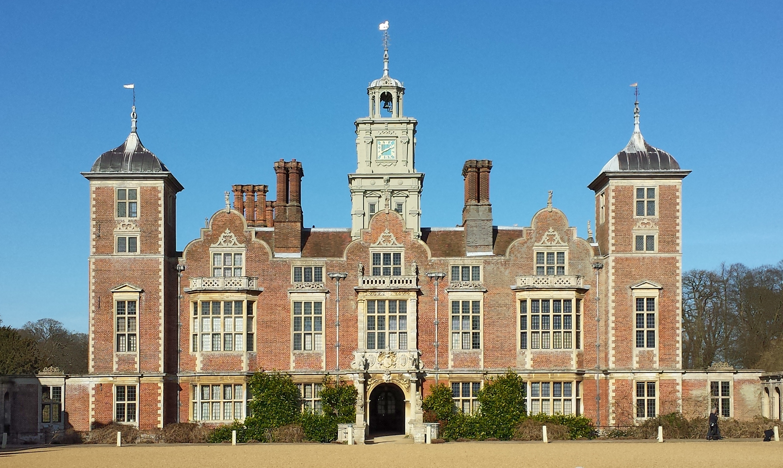
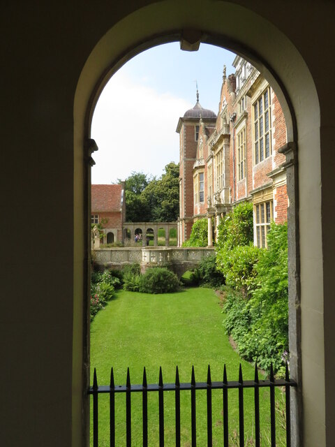
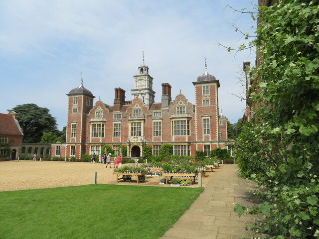
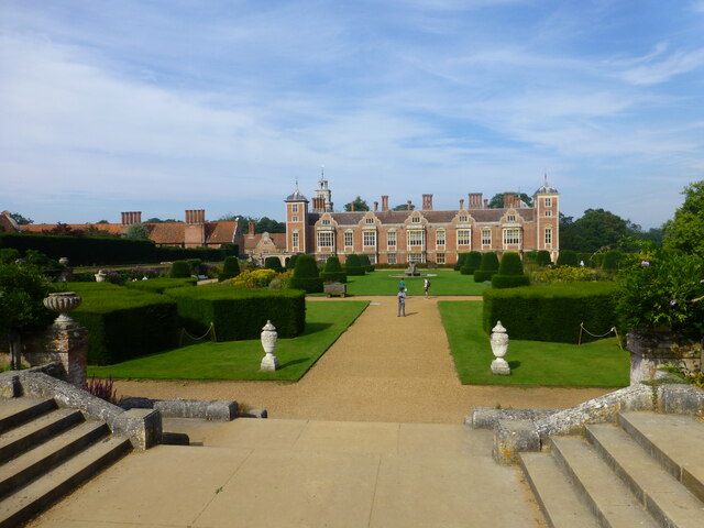
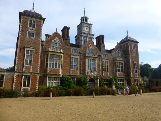
Blickling Hall
Blickling Hall is a Jacobean stately home situated in 5,000 acres of parkland in a loop of the River Bure, near the village of Blickling north of Aylsham...

Moorgate, Norfolk
Moorgate is a village to the north of Aylsham in the county of Norfolk, England.

RAF Oulton
Royal Air Force Oulton or more simply RAF Oulton is a former Royal Air Force satellite station located 3 miles (4.8 km) west of Aylsham, Norfolk and 12...

Scarrow Beck
Scarrow Beck is a minor watercourse which rises in the north of the English county of Norfolk. It is a tributary of the River Bure. Its spring is in the...

Cawston Road Mill, Aylsham
Cawston Road Mill is a tower mill at Aylsham, Norfolk, England which has been truncated and converted for use as a holiday home. == History == Cawston...

Bluestone railway station
Bluestone railway station was a station in Norfolk, England. It was on the Midland and Great Northern Joint Railway between Corpusty and Aylsham North...
Nearby Amenities
Located within 500m of 52.807104,1.2102921Have you been to Hercules Wood?
Leave your review of Hercules Wood below (or comments, questions and feedback).