Long Plantation
Wood, Forest in Norfolk Broadland
England
Long Plantation
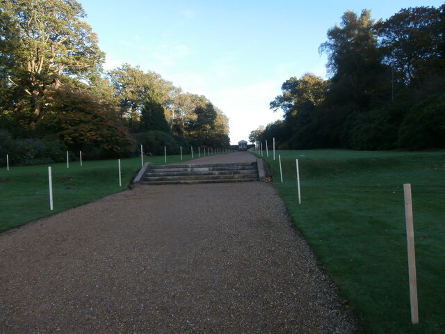
Long Plantation is a picturesque wood and forest located in Norfolk, England. Situated approximately 10 miles southeast of the city of Norwich, it is a popular destination for nature lovers and outdoor enthusiasts.
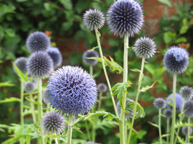
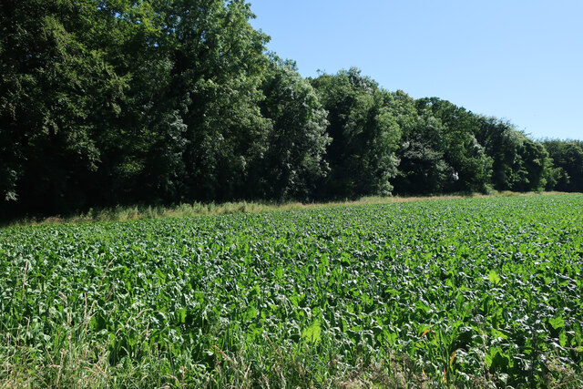
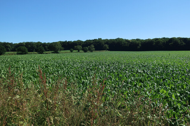
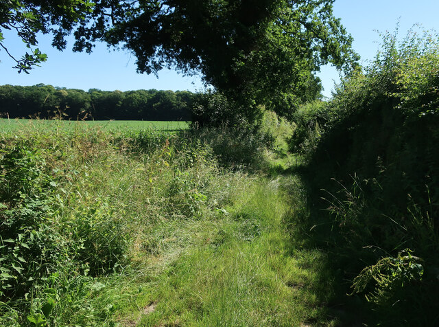
Covering an expansive area of about 500 acres, Long Plantation features a diverse range of flora and fauna, making it a haven for wildlife. The woodland is predominantly comprised of deciduous trees such as oak, beech, and birch, which provide a stunning display of colors during autumn. Additionally, there are several coniferous plantations, including pine and spruce, which add to the overall beauty of the landscape.
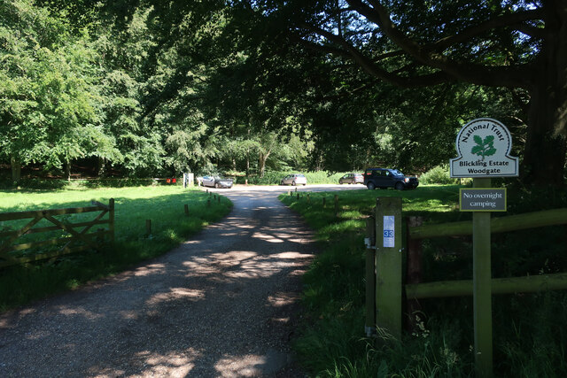
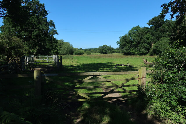
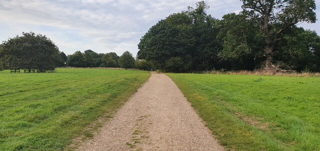
Visitors to Long Plantation can enjoy a variety of activities. There are numerous walking trails and footpaths that meander through the woods, allowing visitors to explore and immerse themselves in nature. The tranquil atmosphere and abundant wildlife make it an ideal spot for birdwatching and photography. Owls, woodpeckers, and various species of deer are often spotted within the woodland.
The management of Long Plantation is focused on preserving and enhancing its natural beauty. Conservation efforts are in place to protect the ancient trees and maintain the ecological balance of the area. The woodland is also managed sustainably, with selective logging taking place to ensure the health and longevity of the trees.
Overall, Long Plantation in Norfolk is a captivating destination that offers a peaceful retreat from the hustle and bustle of city life. With its majestic trees, scenic walking trails, and abundant wildlife, it is an ideal place for nature enthusiasts to connect with the great outdoors.
If you have any feedback on the listing, please let us know in the comments section below.
Long Plantation Images
Images are sourced within 2km of 52.811719/1.2079015 or Grid Reference TG1628. Thanks to Geograph Open Source API. All images are credited.

Long Plantation is located at Grid Ref: TG1628 (Lat: 52.811719, Lng: 1.2079015)
Administrative County: Norfolk
District: Broadland
Police Authority: Norfolk
What 3 Words
///chainsaw.ensemble.maps. Near Aylsham, Norfolk
Nearby Locations
Related Wikis
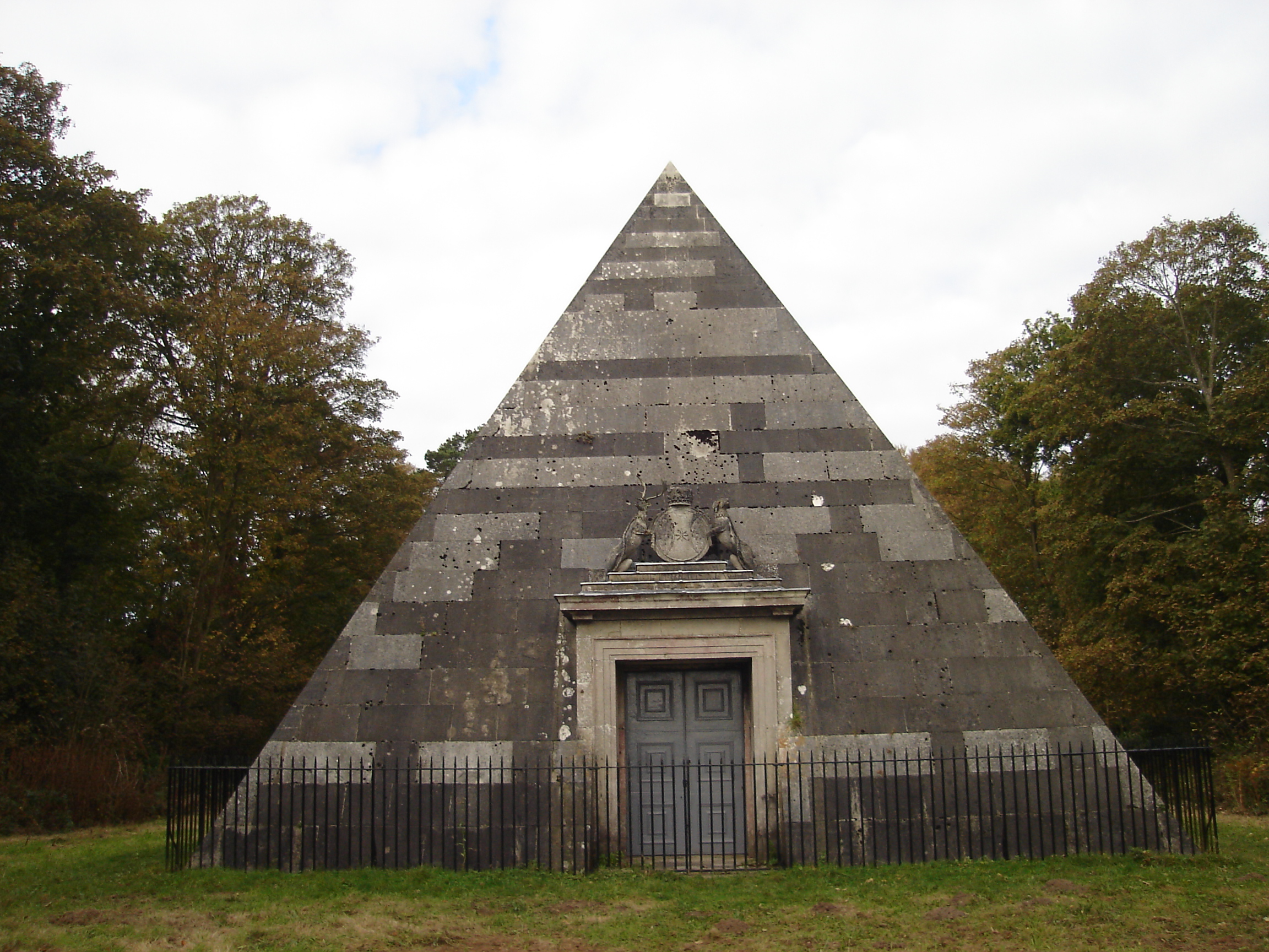
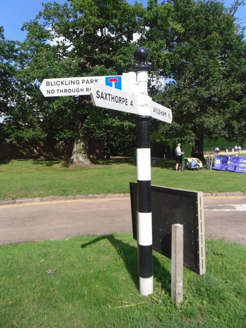
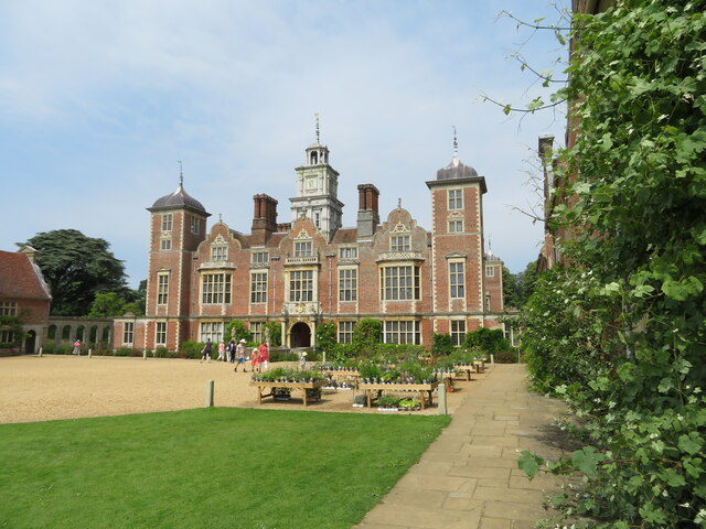
Blickling Park mausoleum
The Blickling Park mausoleum is a Grade II* listed building in the grounds of Blickling Hall, Norfolk, England. It was commissioned in 1793 by Lady Caroline...

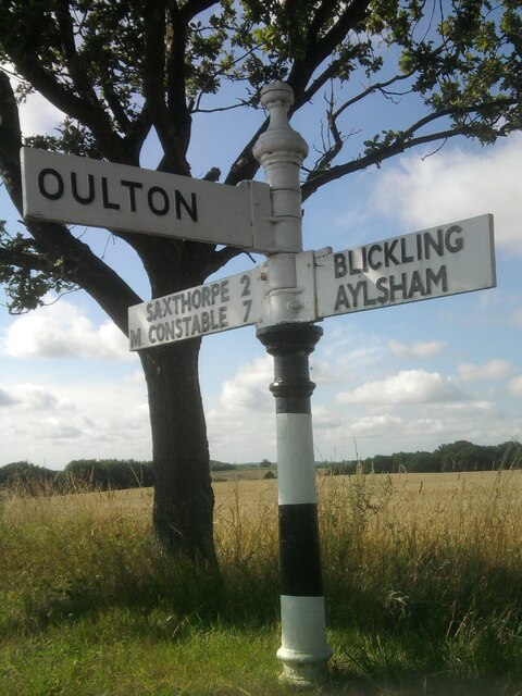
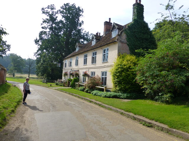
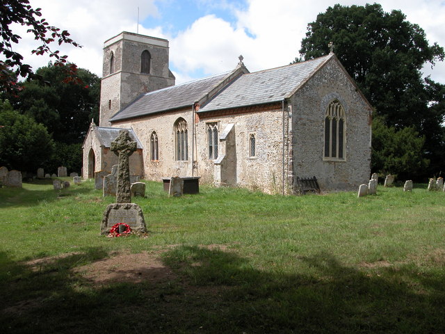
Blickling
Blickling is a village and civil parish in the Broadland district of Norfolk, England, about 1.5 miles (2.4 km) north-west of Aylsham. In the 2011 census...
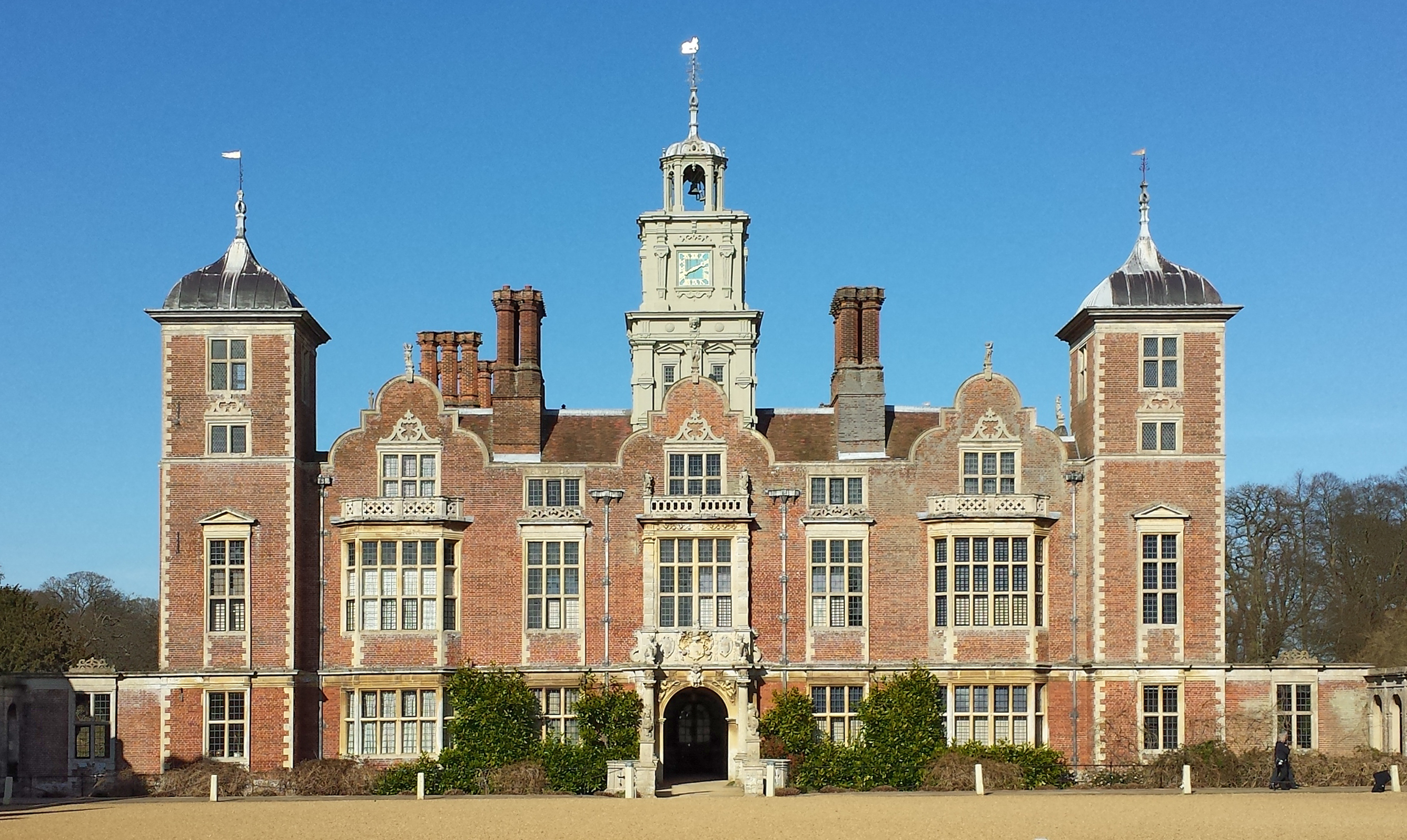
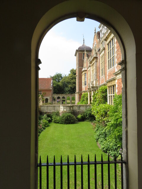
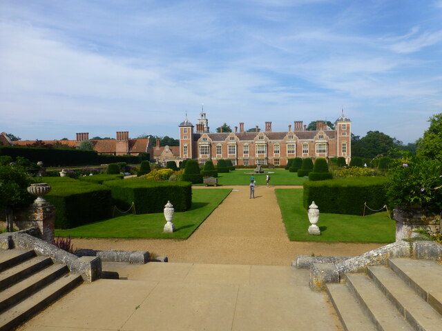
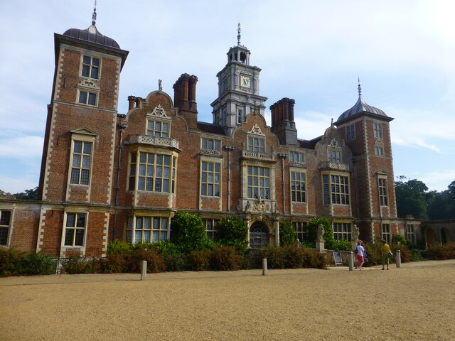
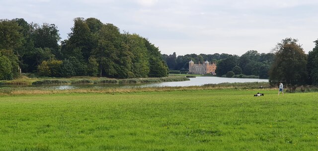
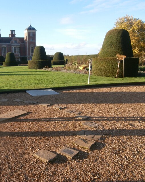
Blickling Hall
Blickling Hall is a Jacobean stately home situated in 5,000 acres of parkland in a loop of the River Bure, near the village of Blickling north of Aylsham...

Moorgate, Norfolk
Moorgate is a village to the north of Aylsham in the county of Norfolk, England.

Scarrow Beck
Scarrow Beck is a minor watercourse which rises in the north of the English county of Norfolk. It is a tributary of the River Bure. Its spring is in the...

RAF Oulton
Royal Air Force Oulton or more simply RAF Oulton is a former Royal Air Force satellite station located 3 miles (4.8 km) west of Aylsham, Norfolk and 12...
Itteringham
Itteringham is a village and civil parish in the English county of Norfolk, some 4+1⁄2 miles (7.2 km) northwest of the market town of Aylsham. It covers...

Oulton, Norfolk
Oulton is a village and civil parish in Norfolk, England. Nearby towns are Reepham and Aylsham. The parish covers an area of 10.58 km2 (4.08 sq mi) and...
Nearby Amenities
Located within 500m of 52.811719,1.2079015Have you been to Long Plantation?
Leave your review of Long Plantation below (or comments, questions and feedback).