The Spinney
Wood, Forest in Essex Tendring
England
The Spinney
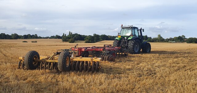
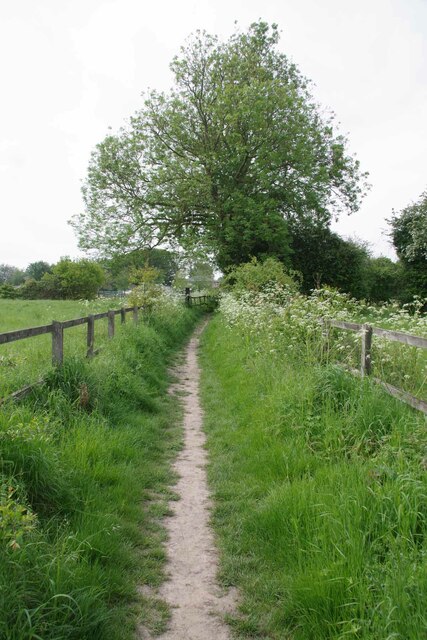
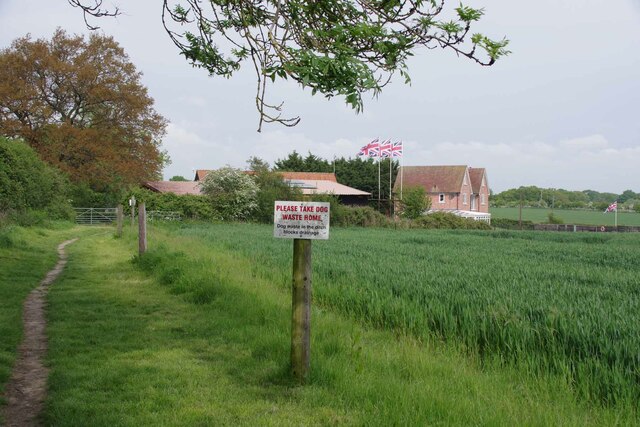
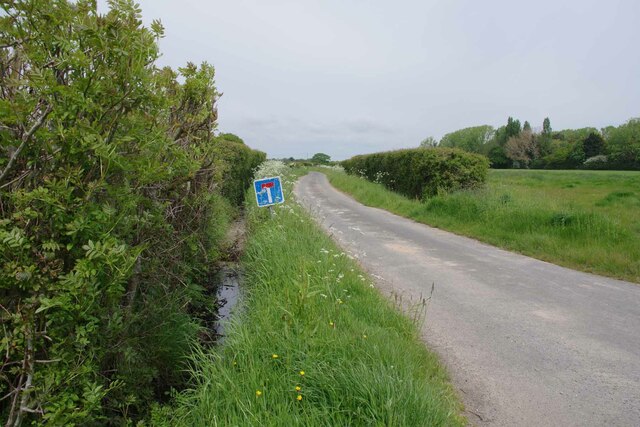
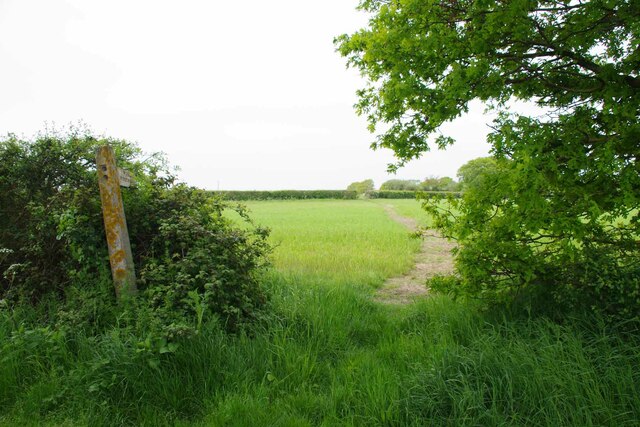
The Spinney is a picturesque woodland area located in Essex, England. Situated within a larger forest, The Spinney is a beloved natural retreat for locals and visitors alike. Covering an area of approximately 100 acres, this enchanting woodland is characterized by its dense canopy of towering trees and an abundance of wildlife.
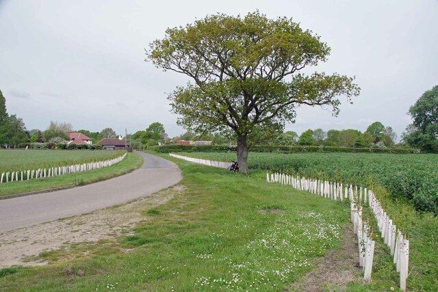
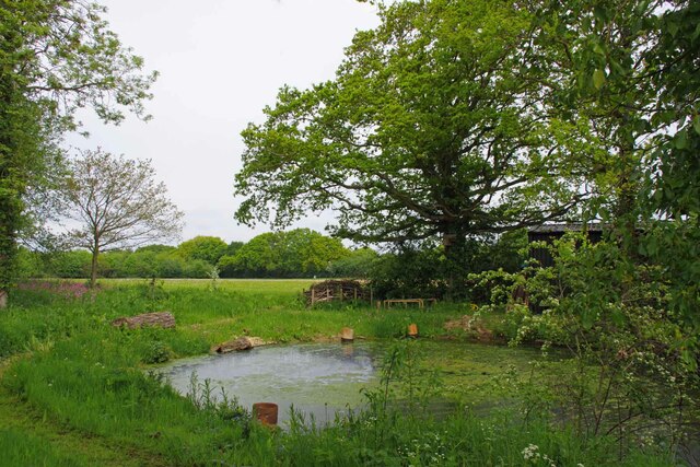
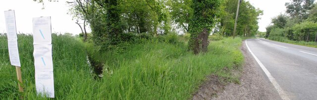
The Spinney boasts a diverse range of tree species, including oak, beech, and birch, which contribute to its lush and vibrant ecosystem. The forest floor is carpeted with a rich tapestry of wildflowers, ferns, and moss, creating a stunning and serene landscape. The tranquil atmosphere and peaceful ambience make it a perfect spot for nature enthusiasts, hikers, and those seeking solace from the hustle and bustle of city life.
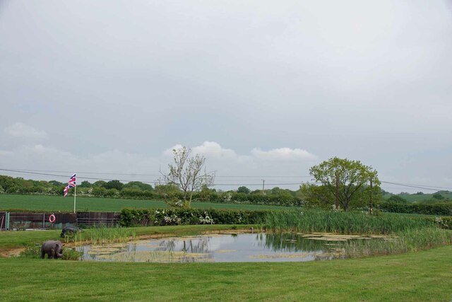
The woodland is home to a variety of fauna, with sightings of deer, rabbits, and a multitude of bird species being a common occurrence. Visitors can often spot woodpeckers, owls, and various songbirds, making it a haven for birdwatching enthusiasts.
The Spinney is also a popular destination for outdoor recreational activities such as walking, jogging, and cycling. With its well-maintained trails and paths, visitors can explore the woodland at their own pace and take in the beauty of nature. The area is also equipped with picnic spots and benches, allowing visitors to relax and enjoy a peaceful meal amidst the natural surroundings.
Overall, The Spinney in Essex is a hidden gem, offering a tranquil and captivating woodland experience for all nature lovers to enjoy.
If you have any feedback on the listing, please let us know in the comments section below.
The Spinney Images
Images are sourced within 2km of 51.864065/1.1453962 or Grid Reference TM1623. Thanks to Geograph Open Source API. All images are credited.


The Spinney is located at Grid Ref: TM1623 (Lat: 51.864065, Lng: 1.1453962)
Administrative County: Essex
District: Tendring
Police Authority: Essex
What 3 Words
///conquests.costs.loafer. Near Thorpe le Soken, Essex
Nearby Locations
Related Wikis

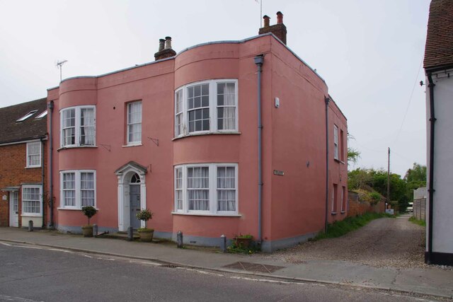
Comarques, Thorpe-le-Soken
Comarques is an 18th-century country house in Thorpe-le-Soken, Essex, England. It has been attributed to the architect, Sir Robert Taylor. Named after...

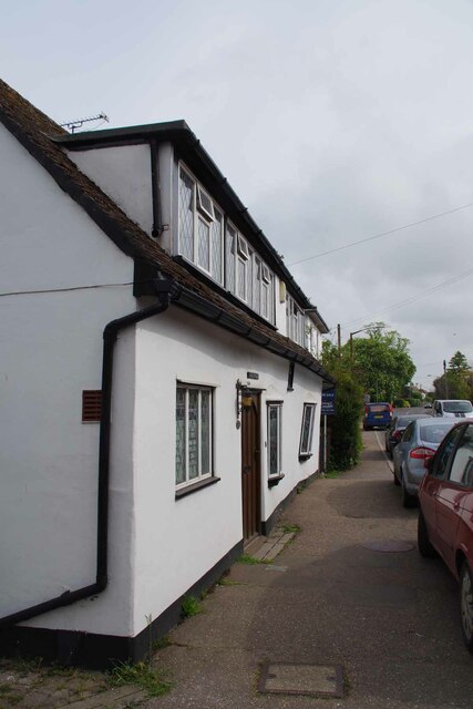
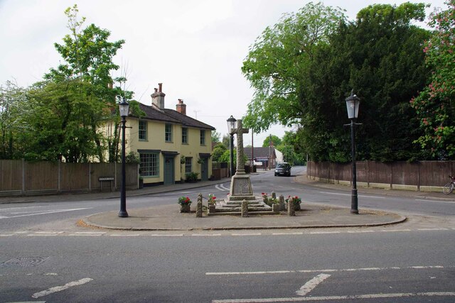
Thorpe-le-Soken
Thorpe-le-Soken is a village and civil parish in the Tendring district of Essex, England. It is located east of Colchester, west of Walton-on-the-Naze...

Thorpe Hall (Thorpe-le-Soken)
Thorpe Hall was a manor house built in the Georgian style at Thorpe-le-Soken in Essex, England. == History == The Thorpe Manor estate belonged to the Dean...

Beaumont-cum-Moze
Beaumont-cum-Moze (grid reference TM175250) is a civil parish in the Tendring district of Essex, England. According to the 2001 census it had a population...
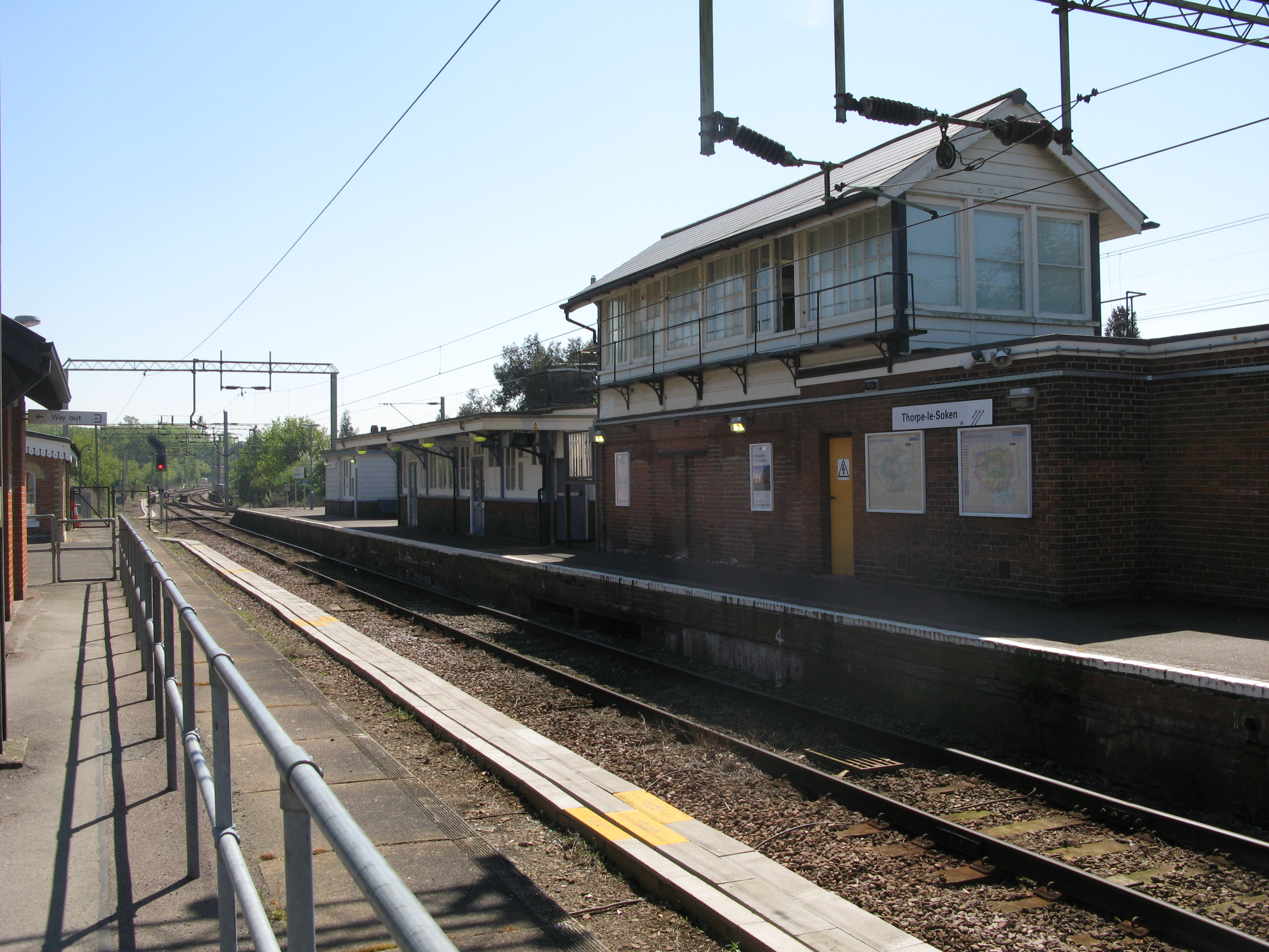
Thorpe-le-Soken railway station
Thorpe-le-Soken railway station is on the Sunshine Coast Line, a branch of the Great Eastern Main Line, in the East of England, serving the village of...

Weeleyhall Wood
Weeleyhall Wood is a 31 hectare biological Site of Special Scientific Interest north of Clacton-on-Sea in Essex. It is managed by the Essex Wildlife Trust...

Weeley railway station
Weeley railway station is on the Sunshine Coast Line, a branch of the Great Eastern Main Line, in the East of England, serving the village of Weeley, Essex...
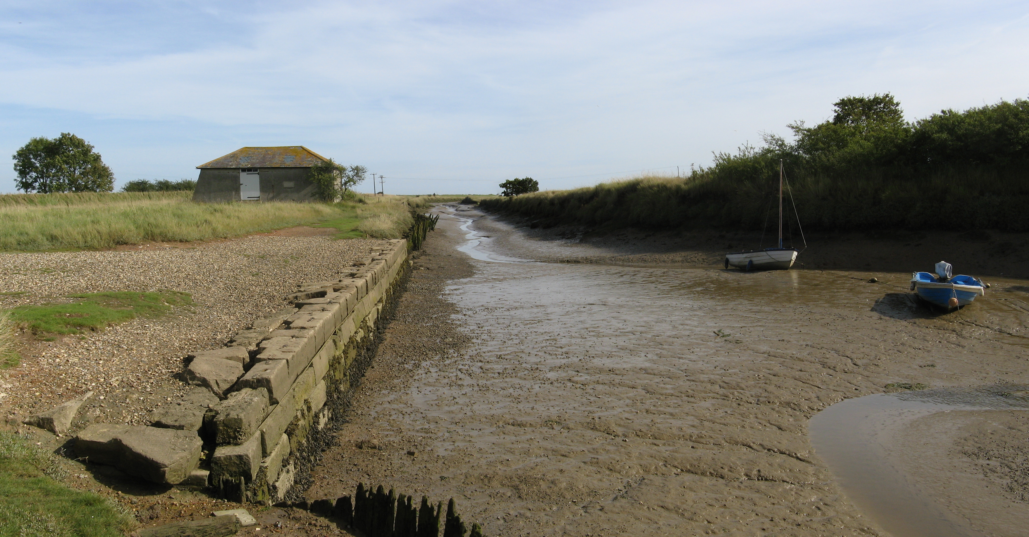
Beaumont Cut
Beaumont Cut was a 1-kilometre-long (1,090 yd) canal linking Beaumont Quay, in the parish of Beaumont-cum-Moze, Tendring, Essex, England, with Hamford...
Nearby Amenities
Located within 500m of 51.864065,1.1453962Have you been to The Spinney?
Leave your review of The Spinney below (or comments, questions and feedback).