Long Covert
Wood, Forest in Norfolk Broadland
England
Long Covert
Long Covert is a picturesque woodland located in the county of Norfolk, England. Nestled within the charming village of Wood, this forested area spans over several acres and is a haven for nature enthusiasts and walkers alike.
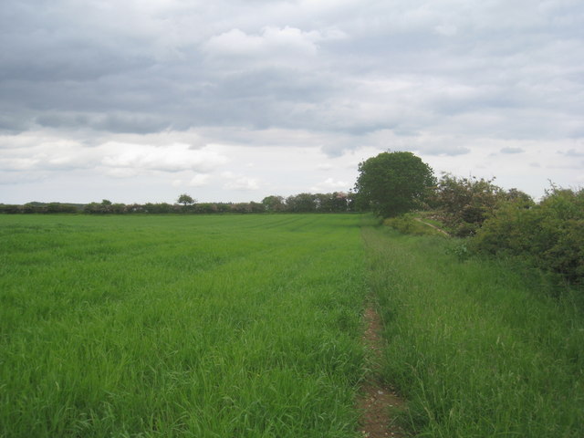
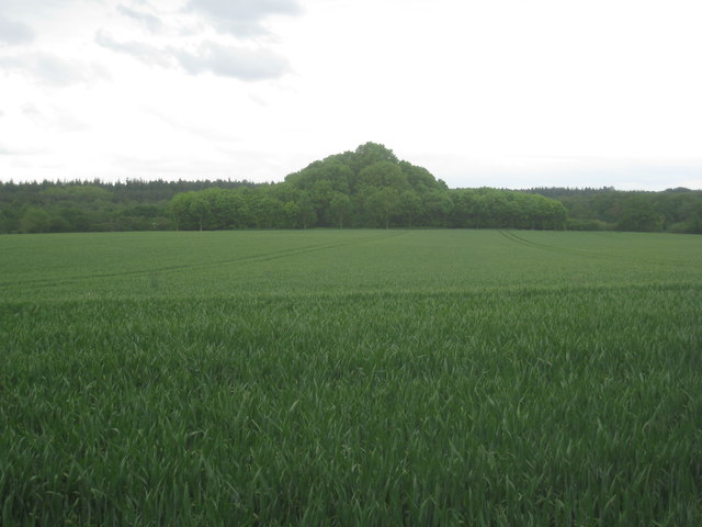
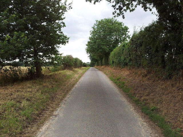
The dense, ancient woodland of Long Covert boasts a diverse range of tree species, including oak, ash, beech, and birch, creating a rich and vibrant ecosystem. The forest floor is carpeted with a lush undergrowth of ferns, mosses, and wildflowers, providing a habitat for various small mammals, birds, and insects.
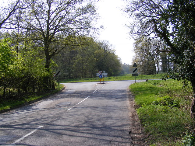
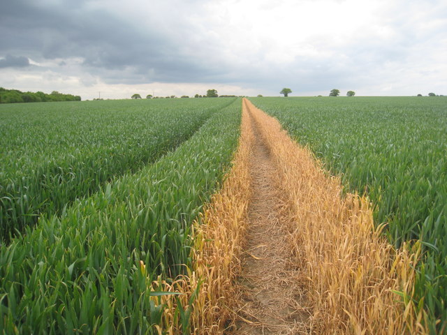
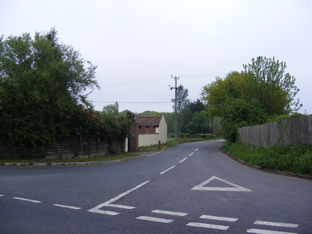
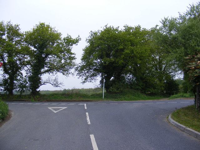
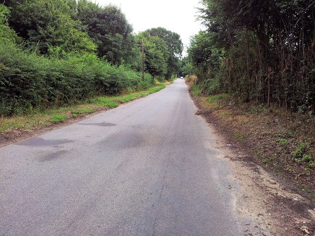
Within Long Covert, there are several well-maintained footpaths and trails, allowing visitors to explore the natural beauty of the area. These paths wind through the forest, leading to hidden clearings and serene ponds, where one can pause and appreciate the tranquil surroundings. The peaceful ambiance of Long Covert makes it an ideal spot for relaxation and rejuvenation.
The forest is also home to a variety of wildlife, with sightings of deer, foxes, and rabbits being common. Birdwatchers will delight in the opportunity to spot species such as the great spotted woodpecker, tawny owl, and treecreeper, amongst others.
Long Covert is a cherished part of the local community, and efforts have been made to preserve its natural heritage. Conservation projects aim to maintain the delicate balance of flora and fauna within the woodland, ensuring that future generations can continue to enjoy its beauty.
In conclusion, Long Covert, located in Wood, Norfolk, is a captivating woodland that offers a peaceful retreat from the bustle of everyday life. With its diverse ecosystem, well-maintained trails, and abundant wildlife, it is a treasure for both nature lovers and those seeking tranquility in a natural setting.
If you have any feedback on the listing, please let us know in the comments section below.
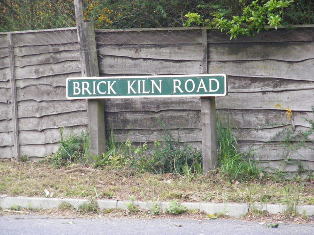
Long Covert Images
Images are sourced within 2km of 52.73181/1.199746 or Grid Reference TG1619. Thanks to Geograph Open Source API. All images are credited.
Long Covert is located at Grid Ref: TG1619 (Lat: 52.73181, Lng: 1.199746)
Administrative County: Norfolk
District: Broadland
Police Authority: Norfolk
What 3 Words
///cost.calibrate.flatten. Near Horsford, Norfolk
Nearby Locations
Related Wikis

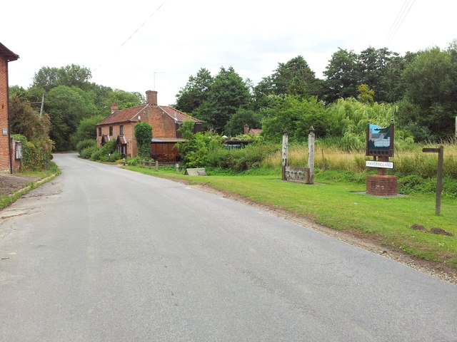
Haveringland
Haveringland is a village and civil parish in the English county of Norfolk about 8 miles (13 km) north-west of Norwich. It covers an area of 8.91 km2...

Felthorpe
Felthorpe is a village and civil parish in the English county of Norfolk. The village is located 11 miles (18 km) east of Dereham and 7.1 miles (11.4 km...

Swannington Upgate Common
Swannington Upgate Common is a 20.5-hectare (51-acre) biological Site of Special Scientific Interest north-west of Norwich in Norfolk.This site has varied...
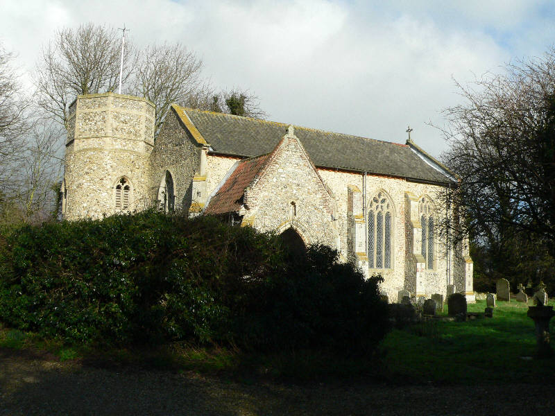
St Nicholas Church, Brandiston
St Nicholas Church is a redundant Anglican church in the village of Brandiston, Norfolk, England. It is recorded in the National Heritage List for England...

Swannington, Norfolk
Swannington is a village and civil parish in the English county of Norfolk, United Kingdom. The villages name means 'Farm/settlement connected with Swan...

Broadland (UK Parliament constituency)
Broadland is a Norfolk constituency, which has been represented in the House of Commons of the UK Parliament since the 2019 general election by Jerome...

Guton
Guton was a settlement in the county of Norfolk in England mentioned in the Domesday Book as Guthetuna. It is described as being held by Osbert from Tihel...

1966 Felthorpe Trident crash
On 3 June 1966, a newly built Hawker Siddeley Trident jetliner crashed during a pre-delivery test flight near the village of Felthorpe, Norfolk, England...
Nearby Amenities
Located within 500m of 52.73181,1.199746Have you been to Long Covert?
Leave your review of Long Covert below (or comments, questions and feedback).