Timpson Wood

Wood, Forest in Kent Canterbury

England

Timpson Wood

Farmland and pylon
Farmland and pylon Credit: N Chadwick

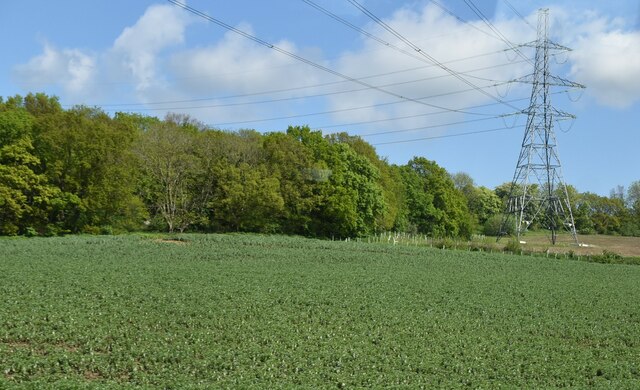
Timpson Wood, located in Kent, England, is a captivating forest that covers an area of approximately 15 hectares. This woodland gem is situated near the village of Timpson, and it offers a delightful escape into nature for locals and visitors alike. The wood is part of a larger network of woodlands known as the Blean Complex, which is renowned for its diverse flora and fauna.

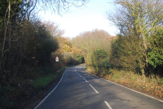
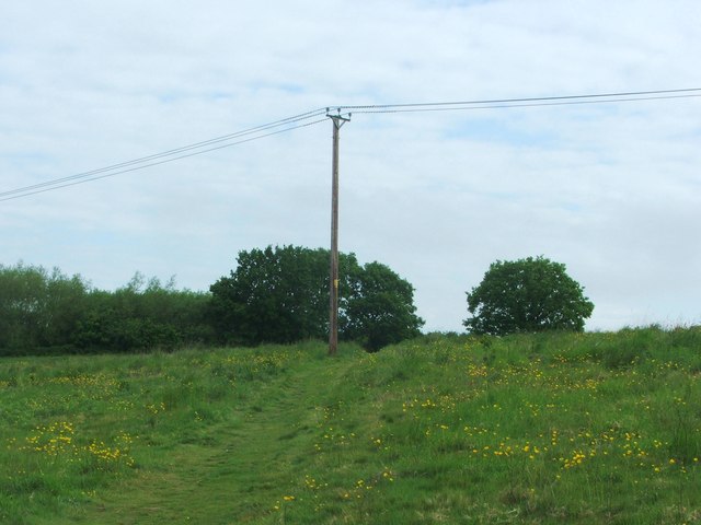
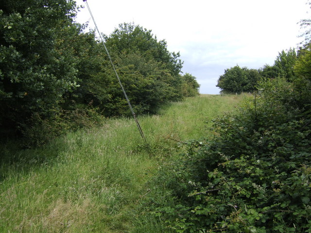
Timpson Wood is characterized by its dense canopy of deciduous trees, dominated by species such as oak, beech, and birch. The wood's undulating terrain features a mix of open meadows, small streams, and gentle slopes, creating a varied and picturesque landscape. Walking through Timpson Wood, one can experience the tranquility of nature, with the soothing sounds of birdsong and rustling leaves.

The woodland is also home to a rich array of wildlife. Visitors may encounter deer, foxes, and various species of birds, including woodpeckers and owls. The wood's diverse vegetation provides a habitat for numerous insects, butterflies, and small mammals.

Timpson Wood is a popular destination for nature enthusiasts, hikers, and birdwatchers. It offers several well-maintained trails, providing visitors with the opportunity to explore its natural beauty at their own pace. Additionally, the wood is equipped with picnic areas, making it an ideal spot for a family outing or a peaceful picnic surrounded by the beauty of nature.

Overall, Timpson Wood in Kent is a captivating forest that offers a serene and immersive experience in nature. With its diverse plant and animal life, picturesque landscapes, and well-maintained trails, it is a must-visit destination for nature lovers and those seeking a tranquil escape from the hustle and bustle of everyday life.

If you have any feedback on the listing, please let us know in the comments section below.
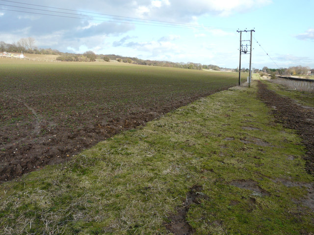
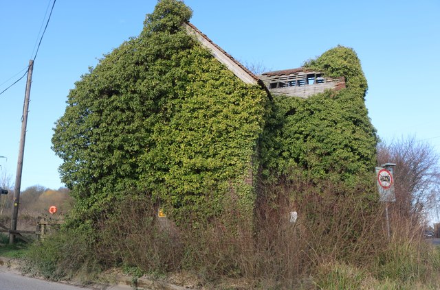
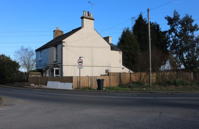
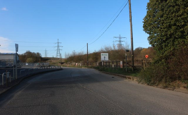
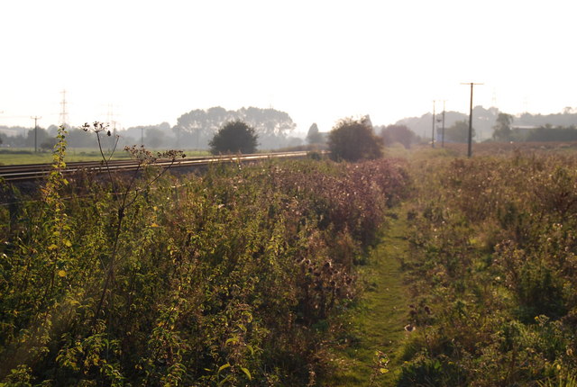
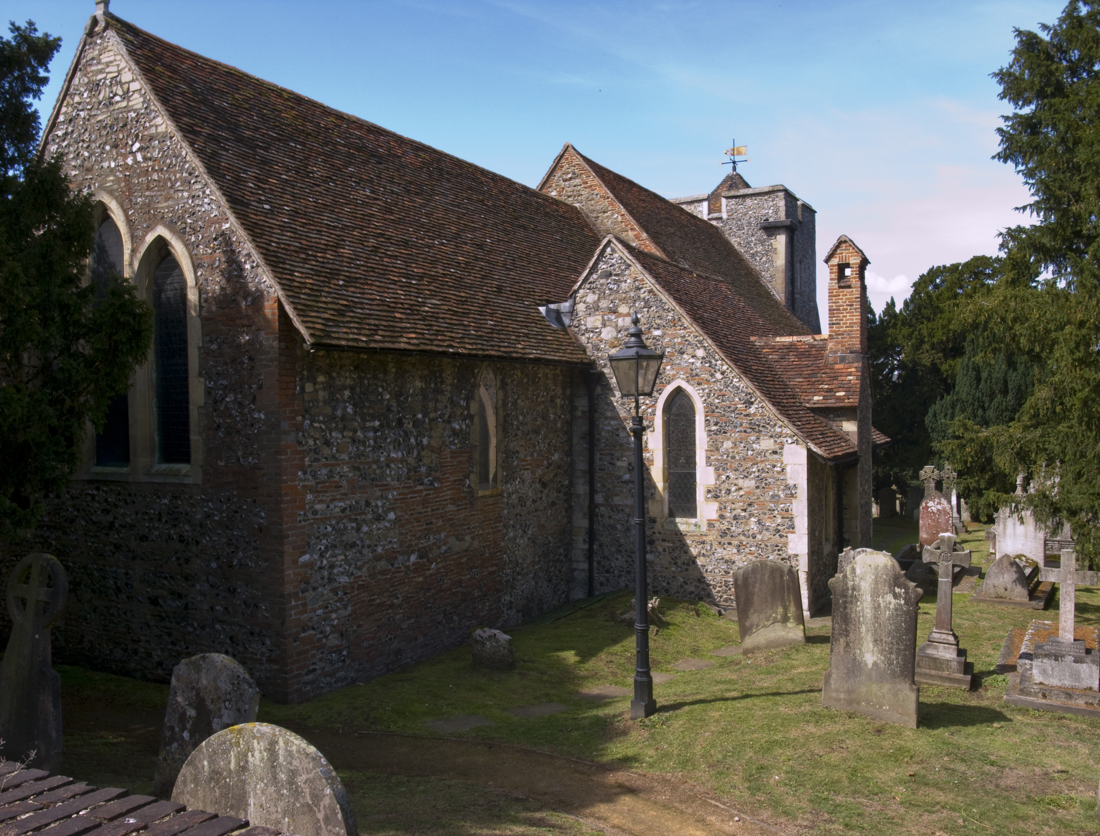
Timpson Wood Images

Images are sourced within 2km of 51.283354/1.0980184 or Grid Reference TR1658. Thanks to Geograph Open Source API. All images are credited.

Farmland and pylon
Farmland and pylon
Level crossing on Shalloak Road On 6th February 1846, the South Eastern Railway began services from Ashford to Canterbury West and two months later in April 1846 services were extended though here to Ramsgate. Electric services started on 9th October 1961 and in December 2009, the line became part of the Southeastern High Speed service to London St Pancras.

The next station to the right here is Canterbury West and to the left is Sturry, although the High Speed trains do not stop at the latter.
Level crossing on Shalloak Road
On 6th February 1846, the South Eastern Railway began services from Ashford to Canterbury West and two months later in April 1846 services were extended though here to Ramsgate. Electric services started on 9th October 1961 and in December 2009, the line became part of the Southeastern High Speed service to London St Pancras. The next station to the right here is Canterbury West and to the left is Sturry, although the High Speed trains do not stop at the latter.
Level crossing on Shalloak Road On 6th February 1846, the South Eastern Railway began services from Ashford to Canterbury West and two months later in April 1846 services were extended though here to Ramsgate. Electric services started on 9th October 1961 and in December 2009, the line became part of the Southeastern High Speed service to London St Pancras.

The next station to the left here is Canterbury West and to the right is Sturry, although the High Speed trains do not stop at the latter.
Level crossing on Shalloak Road
On 6th February 1846, the South Eastern Railway began services from Ashford to Canterbury West and two months later in April 1846 services were extended though here to Ramsgate. Electric services started on 9th October 1961 and in December 2009, the line became part of the Southeastern High Speed service to London St Pancras. The next station to the left here is Canterbury West and to the right is Sturry, although the High Speed trains do not stop at the latter.
View down the line from Broadoak Crossing On 6th February 1846, the South Eastern Railway began services from Ashford to Canterbury West and two months later in April 1846 services were extended though here to Ramsgate. Electric services started on 9th October 1961 and in December 2009, the line became part of the Southeastern High Speed service to London St Pancras.

This view is from Broadoak Crossing where Shalloak Road crosses the line. The next station in this direction is Sturry, although the High Speed trains do not stop there.
View down the line from Broadoak Crossing
On 6th February 1846, the South Eastern Railway began services from Ashford to Canterbury West and two months later in April 1846 services were extended though here to Ramsgate. Electric services started on 9th October 1961 and in December 2009, the line became part of the Southeastern High Speed service to London St Pancras. This view is from Broadoak Crossing where Shalloak Road crosses the line. The next station in this direction is Sturry, although the High Speed trains do not stop there.
Works associated with Richborough Connection Project, Shalloak Road This is a proposed 400kV electricity transmission connection between Richborough and Canterbury in Kent to connect the proposed new UK to Belgium interconnector (known as the Nemo Link) <span class="nowrap"><a title="https://infrastructure.planninginspectorate.gov.uk/projects/south-east/richborough-connection-project/" rel="nofollow ugc noopener" href="https://infrastructure.planninginspectorate.gov.uk/projects/south-east/richborough-connection-project/">Link</a><img style="margin-left:2px;" alt="External link" title="External link - shift click to open in new window" src="https://s1.geograph.org.uk/img/external.png" width="10" height="10"/></span>
Works associated with Richborough Connection Project, Shalloak Road
This is a proposed 400kV electricity transmission connection between Richborough and Canterbury in Kent to connect the proposed new UK to Belgium interconnector (known as the Nemo Link) LinkExternal link
Derelict house, Shalloak Road
Broadoak Crossing There is a <a href="https://www.geograph.org.uk/photo/5666209">TR1660 : Derelict house, Shalloak Road</a> on the other side of the level crossing.
Broadoak Crossing
There is a TR1660 : Derelict house, Shalloak Road on the other side of the level crossing.
Derelict house, Shalloak Road David Anstiss’ <a href="https://www.geograph.org.uk/photo/1958397">TR1660 : Disused house near Broadoak Crossing</a> shows the building, when it was in a far better condition!
Derelict house, Shalloak Road
David Anstiss’ TR1660 : Disused house near Broadoak Crossing shows the building, when it was in a far better condition!
Farmland Planning permission was refused by Canterbury City Council under application number CA//17/01383 for an “outline application with all matters reserved for up to 700 houses, primary school, medical hub, community building, car park and associated amenity space; and detailed application for the construction of part of the Sturry Relief Road and a local road from the Sturry Relief Road to Shalloak Road”. 

To the right of the electricity pole is the railway line between Sturry and Canterbury West stations.
Farmland
Planning permission was refused by Canterbury City Council under application number CA//17/01383 for an “outline application with all matters reserved for up to 700 houses, primary school, medical hub, community building, car park and associated amenity space; and detailed application for the construction of part of the Sturry Relief Road and a local road from the Sturry Relief Road to Shalloak Road”. To the right of the electricity pole is the railway line between Sturry and Canterbury West stations.
House returning to nature If the walls are eaten away it will become the way it was originally plus the rubble underneath.
House returning to nature
If the walls are eaten away it will become the way it was originally plus the rubble underneath.
Houses by Broadoak Crossing, Canterbury
Industrial estate in Broad Oak, Canterbury
Shalloak Rd
Shalloak Rd
Broadoak Crossing
Broadoak Crossing
Utility Pole near Brickhouse Wood
Broadoak Crossing
Broadoak Crossing
Footpath north to Brickhouse Wood Just beyond the final urban sprawl of north Canterbury.
Footpath north to Brickhouse Wood
Just beyond the final urban sprawl of north Canterbury.
Railway line crossing the meadows
Show me another place!

Timpson Wood is located at Grid Ref: TR1658 (Lat: 51.283354, Lng: 1.0980184)

Administrative County: Kent

District: Canterbury

Police Authority: Kent

What 3 Words

///view.crisp.next. Near Canterbury, Kent

Nearby Locations

Realm Wood Timpson Wood

Related Wikis

Nearby Amenities

Located within 500m of 51.283354,1.0980184
Crossing
Bicycle: yes
Crossing: uncontrolled
Crossing Island: no
Crossing Ref: tiger
Tactile Paving: yes
Lat/Long: 51.2835511/1.0919215
Post Box
Post Box Type: meter
Postal Code: CT1
Ref: CT1 293
Source: survey
Lat/Long: 51.2847899/1.0935458
Telephone
Booth: KX100
Check Date: 2023-01-11
Covered: booth
Lat/Long: 51.2870796/1.0940545
Turning Circle
Lat/Long: 51.286963/1.0975921
Millennium Milepost Brymore Road
Description: 1) Fordwich 1.75, Dover 30.5 2) Canterbury 1, London 92
Image: https://www.cyclestreets.net/location/198288/cyclestreets198288.jpg
Information: guidepost
Ncn Milepost: mills
Source: survey
Sustrans Ref: MP 1154
Tourism: information
Lat/Long: 51.285775/1.0958676
Millennium Milepost Canterbury
Description: 1) Dover 31 2) John O'Groats 1400
Image: https://www.cyclestreets.net/location/185576/cyclestreets185576.jpg
Information: guidepost
Ncn Milepost: mills
Sustrans Ref: MP 310 & MP 1102
Tourism: information
Lat/Long: 51.2836054/1.0919498
Kerb: raised
Lat/Long: 51.2868149/1.0937467
Traffic Calming: hump
Lat/Long: 51.2795968/1.1014046
Post Box
Collection Times: Mo-Fr 18:45; Sa 13:00
Post Box Type: pillar
Postal Code: CT1
Ref: CT1 2921
Royal Cypher: EIIR
Royal Cypher Wikidata: Q33102113
Source: survey
Lat/Long: 51.284773/1.0935672
Bicycle Parking
Bicycle Parking: stands
Capacity: 6
Colour: green
Covered: no
Cyclestreets Id: 27228
Material: metal
Source: survey
Lat/Long: 51.2838158/1.0928847
Bus Stop
Civic Centre
Bench: no
Naptan AtcoCode: 2400A039900A
Naptan Bearing: NE
Naptan CommonName: Civic Centre
Naptan Indicator: opp
Naptan Landmark: All Saints Ch
Naptan NaptanCode: kntdptdw
Naptan PlusbusZoneRef: CNTBE
Naptan Street: Military Road
Naptan Verified: no
Shelter: no
Source: naptan_import
Lat/Long: 51.2845883/1.0927315
Bus Stop
Brymore Road
Bench: no
Bin: no
Check Date Shelter: 2023-01-11
Lit: yes
Naptan AtcoCode: 2400A039920A
Naptan Bearing: SW
Naptan CommonName: Brymore Road
Naptan Indicator: SW-bound
Naptan Landmark: Terminus
Naptan NaptanCode: kntdptgd
Naptan PlusbusZoneRef: CNTBE
Naptan Street: Brymore Road
Naptan Verified: no
Shelter: no
Source: naptan_import
Tactile Paving: no
Lat/Long: 51.2862109/1.0963406
Bus Stop
Hudson Road
Bench: yes
Bin: no
Lit: yes
Naptan AtcoCode: 2400A039930A
Naptan Bearing: NE
Naptan CommonName: Hudson Road
Naptan Indicator: NE-bound
Naptan Landmark: Casino House
Naptan NaptanCode: kntdptgj
Naptan PlusbusZoneRef: CNTBE
Naptan Street: Hudson Rd
Naptan Verified: no
Shelter: no
Source: naptan_import
Tactile Paving: no
Lat/Long: 51.2857463/1.0938422
Bus Stop
Civic Centre
Naptan AtcoCode: 2400A039940A
Naptan Bearing: SW
Naptan CommonName: Civic Centre
Naptan Indicator: adj
Naptan Landmark: All Saints Ch
Naptan NaptanCode: kntdptgm
Naptan PlusbusZoneRef: CNTBE
Naptan Street: Military Road
Naptan Verified: no
Source: naptan_import
Lat/Long: 51.2843179/1.0924121
Bus Stop
Law Courts
Bench: yes
Bin: no
Bus: yes
Lit: no
Naptan AtcoCode: 2400A039950A
Naptan Bearing: NW
Naptan CommonName: Law Courts
Naptan Indicator: o/s
Naptan Landmark: Law Courts
Naptan NaptanCode: kntdptgp
Naptan PlusbusZoneRef: CNTBE
Naptan Street: Chaucer Road
Naptan Verified: no
Public Transport: platform
Shelter: yes
Source: naptan_import
Tactile Paving: no
Lat/Long: 51.2824614/1.0939532
Bicycle Parking
Bicycle Parking: stands
Capacity: 6
Colour: green
Covered: no
Cyclestreets Id: 27229
Material: metal
Source: survey
Lat/Long: 51.2837862/1.092829
Bicycle Parking
Bicycle Parking: stands
Capacity: 6
Check Date Capacity: 2023-01-11
Covered: no
Cyclestreets Id: 19263
Source: survey
Lat/Long: 51.2857649/1.0950555
Barrier: bollard
Foot: yes
Lat/Long: 51.2807558/1.0952911
Barrier: bollard
Bicycle: no
Foot: yes
Lat/Long: 51.2813604/1.0961079
Barrier: block
Lat/Long: 51.2812063/1.1006443
Bicycle Parking
Bicycle Parking: stands
Capacity: 4
Check Date Capacity: 2023-03-20
Covered: no
Cyclestreets Id: 27507
Lat/Long: 51.2833525/1.0935392
Check Date: 2023-01-11
Traffic Calming: cushion
Lat/Long: 51.2876328/1.0975055
Bench
Backrest: yes
Colour: black
Material: wood
Lat/Long: 51.2843397/1.0924268
Barrier: stile
Lat/Long: 51.2823996/1.096937
Barrier: cycle_barrier
Cycle Barrier: double
Cycle Barrier Installation: fixed
Fixme: maxwidth is an estimate. Go out an measure it.
Maxwidth: 1
Lat/Long: 51.2864255/1.0972213
Barrier: cycle_barrier
Cycle Barrier: double
Cycle Barrier Installation: fixed
Fixme: maxwidth is an estimate. Go out and measure it.
Maxwidth: 1
Lat/Long: 51.2865258/1.0974663
Bicycle Parking
Access: private
Bicycle Parking: stands
Capacity: 40
Covered: yes
Cyclestreets Id: 35881
Lockable: yes
Note: For Canterbury City Council staff.
Lat/Long: 51.2839625/1.0937716
Barrier: cycle_barrier
Cycle Barrier: single
Cycle Barrier Installation: fixed
Lat/Long: 51.2857577/1.0956883
Traffic Calming: hump
Lat/Long: 51.2871444/1.0995796
Traffic Calming: hump
Lat/Long: 51.2873609/1.1003579
Conduit House
Designation: English Heritage site
Historic: monument
Source: http://gothisplace.com/View/English/Conduit%20House%20Canterbury,%20UK
Lat/Long: 51.2806644/1.0950089
Entrance: main
Lat/Long: 51.2838247/1.0929134
Barrier: cycle_barrier
Cycle Barrier: double
Cycle Barrier Installation: fixed
Lat/Long: 51.2865104/1.0979514
Communication Mobile Phone: yes
Man Made: mast
Lat/Long: 51.2822356/1.0965429
Communication Mobile Phone: yes
Man Made: mast
Lat/Long: 51.2825161/1.096621
Board Type: notice
Information: board
Tourism: information
Lat/Long: 51.2838617/1.0927829
Bench
Lat/Long: 51.2838835/1.0928299
Barracks
Place: suburb
Lat/Long: 51.2863566/1.0947844
Generator Method: photovoltaic
Generator Source: solar
Generator Type: solar_photovoltaic_panel
Location: roof
Power: generator
Lat/Long: 51.2799527/1.0948107
Generator Method: photovoltaic
Generator Source: solar
Generator Type: solar_photovoltaic_panel
Location: roof
Power: generator
Lat/Long: 51.2803453/1.0943869
Generator Method: photovoltaic
Generator Orientation: 144
Generator Solar Modules: 8
Generator Source: solar
Generator Type: solar_photovoltaic_panel
Location: roof
Power: generator
Lat/Long: 51.2852424/1.0923296
Generator Method: photovoltaic
Generator Orientation: 144
Generator Output Electricity: yes
Generator Solar Modules: 12
Generator Source: solar
Generator Type: solar_photovoltaic_panel
Location: roof
Power: generator
Lat/Long: 51.2856601/1.0921392
Generator Method: photovoltaic
Generator Orientation: 57
Generator Output Electricity: yes
Generator Solar Modules: 15
Generator Source: solar
Generator Type: solar_photovoltaic_panel
Location: roof
Power: generator
Lat/Long: 51.2868243/1.0935527
Generator Method: photovoltaic
Generator Orientation: 237
Generator Output Electricity: yes
Generator Solar Modules: 12
Generator Source: solar
Generator Type: solar_photovoltaic_panel
Location: roof
Power: generator
Lat/Long: 51.2866314/1.0940114
Generator Method: photovoltaic
Generator Orientation: 235
Generator Solar Modules: 5
Generator Source: solar
Generator Type: solar_photovoltaic_panel
Location: roof
Power: generator
Lat/Long: 51.2840982/1.0910824
Generator Output Electricity: yes
Generator Solar Modules: 6
Generator Source: solar
Generator Type: solar_photovoltaic_panel
Location: roof
Power: generator
Lat/Long: 51.2796289/1.0944942
Generator Output Electricity: yes
Generator Solar Modules: 6
Generator Source: solar
Generator Type: solar_photovoltaic_panel
Location: roof
Power: generator
Lat/Long: 51.2796507/1.0945505
Generator Method: photovoltaic
Generator Output Electricity: yes
Generator Solar Modules: 8
Generator Source: solar
Generator Type: solar_photovoltaic_panel
Location: roof
Power: generator
Lat/Long: 51.2820093/1.0917342
Generator Method: photovoltaic
Generator Output Electricity: yes
Generator Solar Modules: 8
Generator Source: solar
Generator Type: solar_photovoltaic_panel
Location: roof
Power: generator
Lat/Long: 51.2819833/1.0917097
Generator Method: photovoltaic
Generator Output Electricity: yes
Generator Source: solar
Generator Type: solar_photovoltaic_panel
Location: roof
Power: generator
Lat/Long: 51.2811699/1.0961873
Generator Method: photovoltaic
Generator Solar Modules: 14
Generator Source: solar
Generator Type: solar_photovoltaic_panel
Location: roof
Power: generator
Lat/Long: 51.2804208/1.0939698
Generator Method: photovoltaic
Generator Solar Modules: 8
Generator Source: solar
Generator Type: solar_photovoltaic_panel
Location: roof
Power: generator
Lat/Long: 51.2804879/1.0945183
Generator Method: photovoltaic
Generator Solar Modules: 8
Generator Source: solar
Generator Type: solar_photovoltaic_panel
Location: roof
Power: generator
Lat/Long: 51.280451/1.0945572
Life Ring
Emergency: life_ring
Lat/Long: 51.281374/1.0968246
Bench
Backrest: yes
Lat/Long: 51.2813051/1.0969162
Waste Basket
Lat/Long: 51.281293/1.0969286
Legacy Park Viewpoint
Tourism: viewpoint
Lat/Long: 51.2814055/1.0986407
Bench: yes
Leisure: picnic_table
Lit: no
Lat/Long: 51.2812963/1.0978567
Bench: yes
Leisure: picnic_table
Lit: no
Lat/Long: 51.2813243/1.0977935
Bench: yes
Leisure: picnic_table
Lit: no
Lat/Long: 51.2812819/1.0977928
Bench
Backrest: yes
Lat/Long: 51.2814198/1.0986538
Bench
Backrest: yes
Lat/Long: 51.2813938/1.0986558
Bench
Backrest: yes
Lat/Long: 51.2810632/1.098467
Bench
Backrest: yes
Lat/Long: 51.2811224/1.0984688
Traffic Calming: hump
Lat/Long: 51.2814692/1.1002388
Traffic Calming: hump
Lat/Long: 51.2819154/1.0976707
Bench
Backrest: yes
Lat/Long: 51.2799237/1.0988789
Bench
Backrest: yes
Lat/Long: 51.2799055/1.0989098
Bicycle Parking
Bicycle Parking: stands
Capacity: 10
Colour: silver
Covered: no
Cyclestreets Id: 195077
Lat/Long: 51.2797908/1.099074
Barrier: cycle_barrier
Cycle Barrier: double
Cycle Barrier Installation: fixed
Lat/Long: 51.2861144/1.0928568
Bench: yes
Leisure: picnic_table
Lit: no
Lat/Long: 51.2814115/1.0977631
Waste Basket
Waste: dog_excrement
Lat/Long: 51.281745/1.0983423
Barrier: bollard
Lat/Long: 51.281769/1.0983295
Howe Park Trust
Board Type: history
Information: board
Tourism: information
Lat/Long: 51.2817529/1.0982895
Crossing
Crossing: unmarked
Crossing Island: no
Crossing Markings: no
Tactile Paving: no
Lat/Long: 51.2798494/1.1002707
Entrance: main
Lat/Long: 51.2821637/1.0943368
Bicycle Parking
Bicycle Parking: stands
Capacity: 5
Covered: no
Survey Date: 2023-03-20
Lat/Long: 51.2820825/1.0942112
Barrier: bollard
Lat/Long: 51.2821462/1.0940341
Access: no
Barrier: lift_gate
Locked: yes
Lat/Long: 51.2822862/1.0941437
Bench
Backrest: yes
Material: wood
Seats: 6
Survey Date: 2023-03-21
Lat/Long: 51.2817659/1.0942106
Grit Bin
Material: plastic
Survey Date: 2023-03-21
Lat/Long: 51.2816113/1.0942248
Bench
Backrest: yes
Material: wood
Seats: 4
Lat/Long: 51.2818445/1.0945157
Bench
Backrest: yes
Material: wood
Seats: 6
Lat/Long: 51.2818067/1.0945961
Bench
Backrest: yes
Material: wood
Seats: 6
Lat/Long: 51.2817084/1.0945505
Street Lamp
Survey Date: 2023-03-22
Lat/Long: 51.2820018/1.0941663
Street Lamp
Survey Date: 2023-03-22
Lat/Long: 51.281684/1.0941037
Addr Housenumber: 1
Addr Street: Craddock Road
Lat/Long: 51.2826696/1.092219
Addr Housenumber: 1a
Addr Street: Laurel Row
Lat/Long: 51.2828996/1.0927411
Addr Housenumber: 1d
Addr Street: Laurel Row
Lat/Long: 51.2827472/1.0924813
Addr Housenumber: 1b
Addr Street: Craddock Road
Entrance: yes
Lat/Long: 51.2828618/1.0926337
Addr Housenumber: 1c
Addr Street: Craddock Road
Lat/Long: 51.2827905/1.0925744
Street Lamp
Ref: CKR 012
Lat/Long: 51.2828436/1.0918761
The data included in this document is from www.openstreetmap.org. The data is made available under ODbL.

Have you been to Timpson Wood?

Leave your review of Timpson Wood below (or comments, questions and feedback).