Haveringland
Settlement in Norfolk Broadland
England
Haveringland
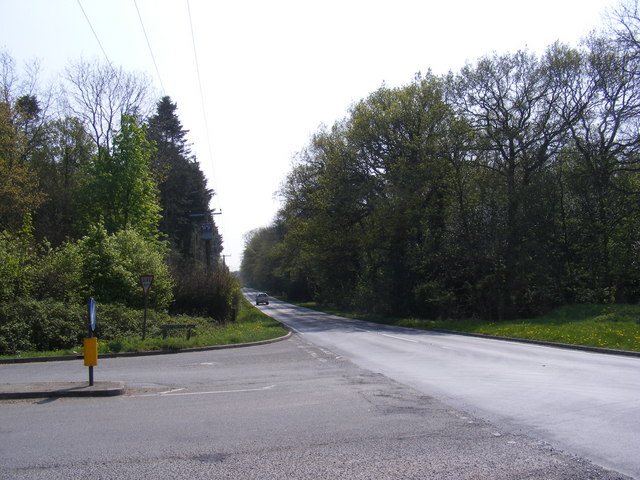
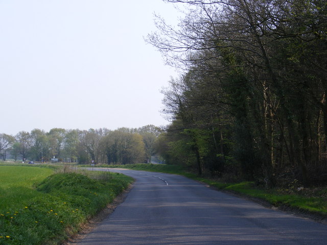
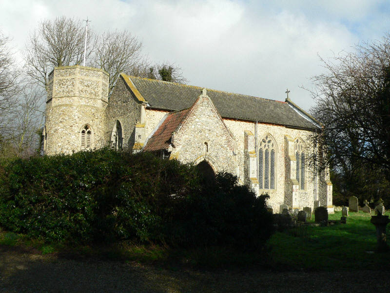
Haveringland is a small village located in the county of Norfolk, England. Situated approximately 15 miles north of Norwich, it is nestled amidst the picturesque Norfolk countryside. The village is part of the civil parish of Cawston and is surrounded by sprawling fields, woodlands, and farmlands, providing a peaceful and idyllic setting.
Haveringland is known for its tranquility and natural beauty, making it a popular destination for those seeking a retreat from the bustling city life. The village is home to a small community, with a population of around 200 residents. The houses in Haveringland mostly reflect traditional Norfolk architecture, adding to its charming appeal.
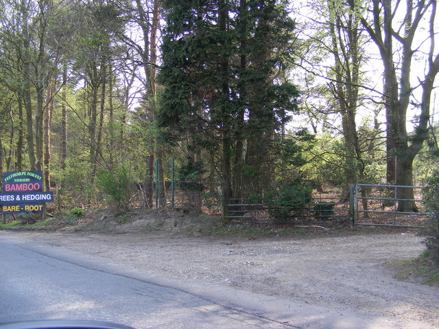
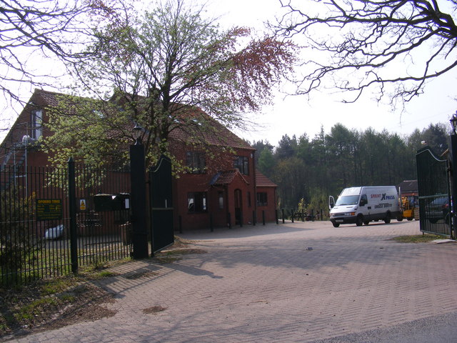
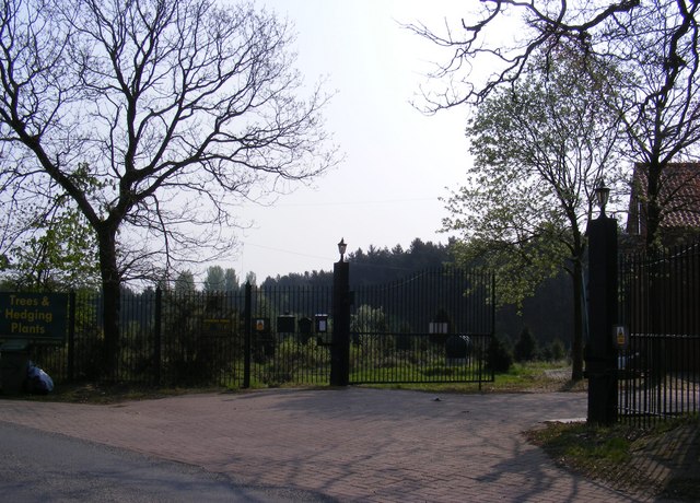
One notable feature of Haveringland is its proximity to the beautiful Haveringland Hall Country Park. This park covers approximately 55 acres and offers stunning landscapes, including a lake and woodland areas. It provides ample opportunities for outdoor activities such as walking, cycling, and picnicking.
Despite being a small village, Haveringland is conveniently located within reach of larger towns and cities. The nearby market town of Aylsham offers a range of amenities, including shops, restaurants, and a weekly market. The city of Norwich, with its historic landmarks, shopping centers, and cultural attractions, is easily accessible by car or public transport.
In conclusion, Haveringland is a charming village in Norfolk, offering a peaceful and picturesque countryside retreat. With its natural beauty and proximity to larger towns and cities, it provides a perfect balance between rural tranquility and convenient access to amenities.
If you have any feedback on the listing, please let us know in the comments section below.
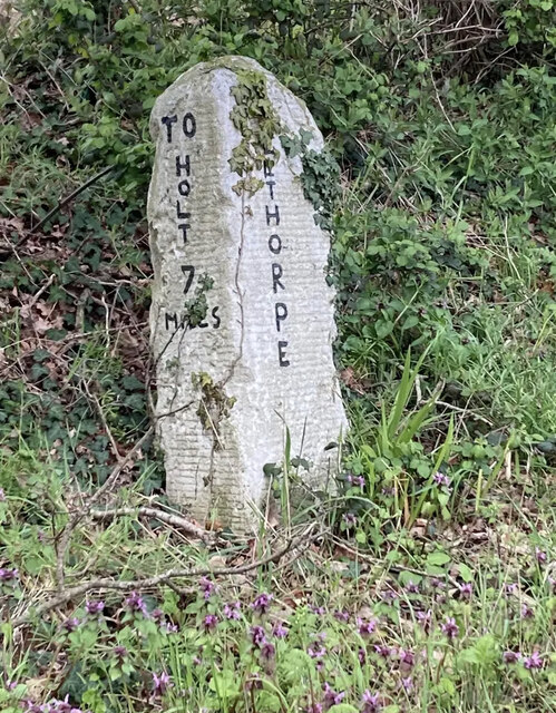
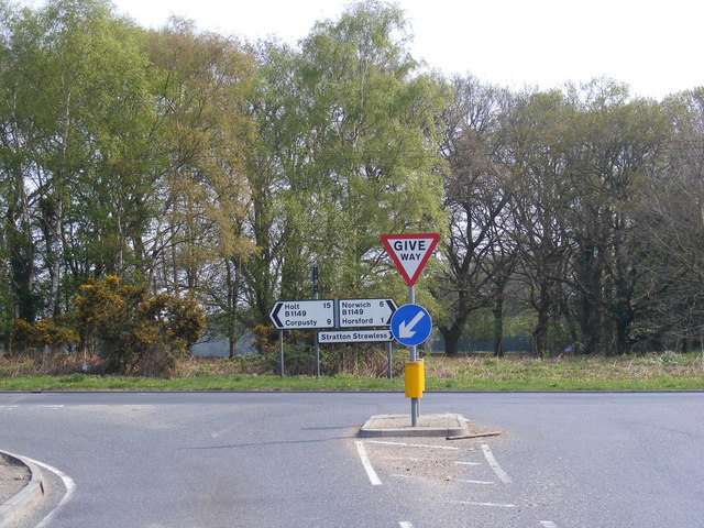
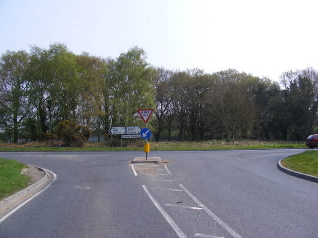
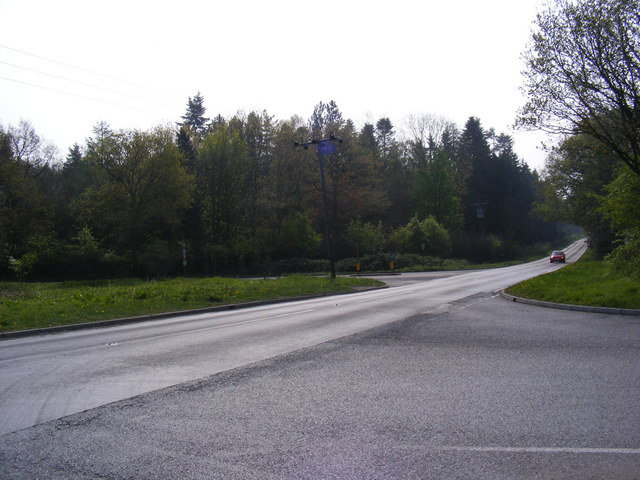
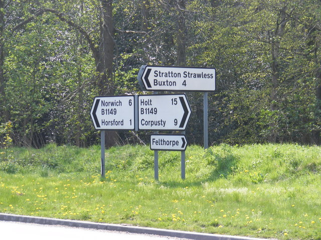
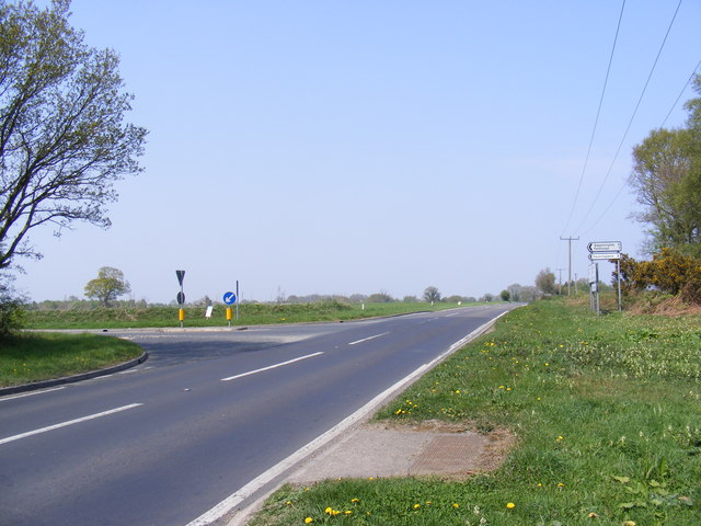
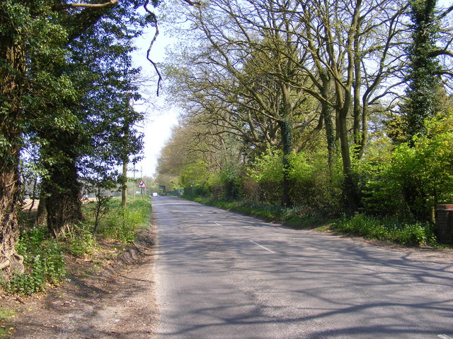
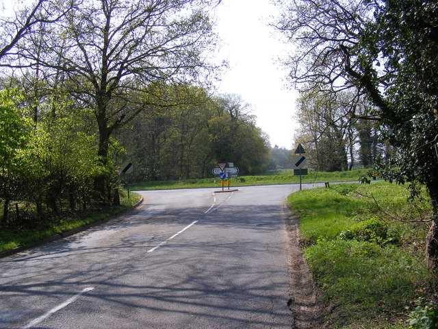
Haveringland Images
Images are sourced within 2km of 52.727248/1.202167 or Grid Reference TG1619. Thanks to Geograph Open Source API. All images are credited.
Haveringland is located at Grid Ref: TG1619 (Lat: 52.727248, Lng: 1.202167)
Administrative County: Norfolk
District: Broadland
Police Authority: Norfolk
What 3 Words
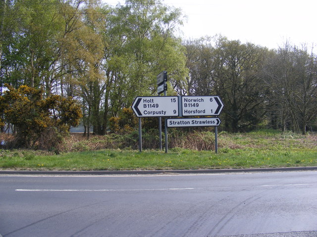
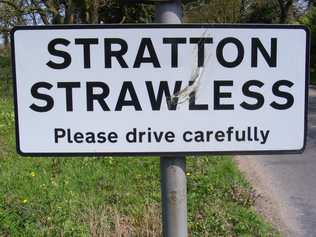
///picture.barrel.votes. Near Horsford, Norfolk
Nearby Locations
Related Wikis

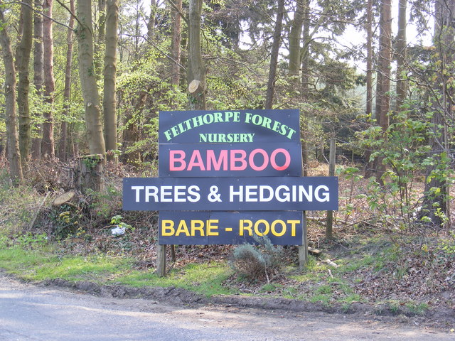
Felthorpe
Felthorpe is a village and civil parish in the English county of Norfolk. The village is located 11 miles (18 km) east of Dereham and 7.1 miles (11.4 km...

Haveringland
Haveringland is a village and civil parish in the English county of Norfolk about 8 miles (13 km) north-west of Norwich. It covers an area of 8.91 km2...

Swannington Upgate Common
Swannington Upgate Common is a 20.5-hectare (51-acre) biological Site of Special Scientific Interest north-west of Norwich in Norfolk.This site has varied...

1966 Felthorpe Trident crash
On 3 June 1966, a newly built Hawker Siddeley Trident jetliner crashed during a pre-delivery test flight near the village of Felthorpe, Norfolk, England...

Swannington, Norfolk
Swannington is a village and civil parish in the English county of Norfolk, United Kingdom. The villages name means 'Farm/settlement connected with Swan...

Broadland (UK Parliament constituency)
Broadland is a Norfolk constituency, which has been represented in the House of Commons of the UK Parliament since the 2019 general election by Jerome...
St Nicholas Church, Brandiston
St Nicholas Church is a redundant Anglican church in the village of Brandiston, Norfolk, England. It is recorded in the National Heritage List for England...

Guton
Guton was a settlement in the county of Norfolk in England mentioned in the Domesday Book as Guthetuna. It is described as being held by Osbert from Tihel...
Nearby Amenities
Located within 500m of 52.727248,1.202167Have you been to Haveringland?
Leave your review of Haveringland below (or comments, questions and feedback).