Alder Carr
Wood, Forest in Suffolk Mid Suffolk
England
Alder Carr
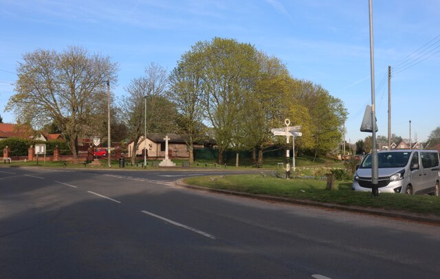
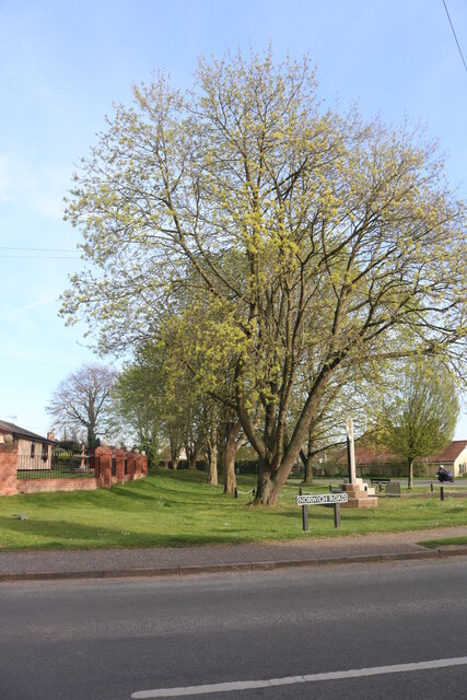
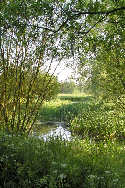
Alder Carr is a serene and picturesque woodland area located in Suffolk, England. This enchanting forest is renowned for its abundant alder trees, which dominate the landscape and give the area its name. Spanning over a vast expanse of approximately 1,000 acres, Alder Carr is a haven for nature enthusiasts and those seeking tranquility amidst the beauty of the natural world.
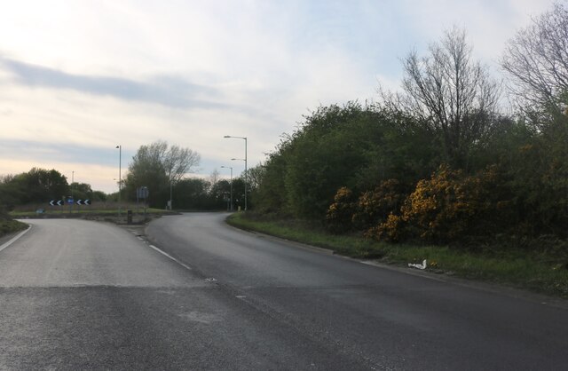
The woods in Alder Carr are characterized by dense vegetation, with towering alder trees forming a lush canopy overhead. The forest floor is covered in a rich carpet of ferns, mosses, and wildflowers, creating a vibrant and diverse ecosystem. Numerous species of birds, such as woodpeckers and nuthatches, can be spotted here, along with a variety of woodland creatures including squirrels and rabbits.
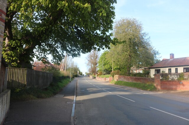
The forest is crisscrossed by a network of well-maintained walking trails, allowing visitors to explore and immerse themselves in its captivating ambiance. These trails wind through the woods, guiding visitors past babbling brooks, small ponds, and hidden clearings. The gentle rustling of leaves and the distant chirping of birds create a soothing soundtrack for those who wander through the forest's pathways.
Alder Carr is not only a place of natural beauty but also a hub for conservation and education. The woodland area is managed by a dedicated team who work tirelessly to preserve its unique ecosystem. Visitors can learn about the flora and fauna of the forest through guided tours and educational programs, gaining a deeper understanding of the importance of conservation.
Overall, Alder Carr in Suffolk is a magical destination where visitors can escape the hustle and bustle of everyday life and immerse themselves in the serenity of a truly enchanting woodland experience.
If you have any feedback on the listing, please let us know in the comments section below.
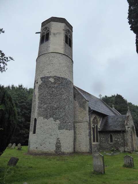
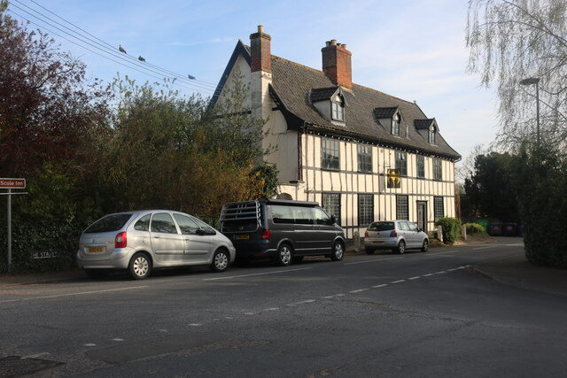
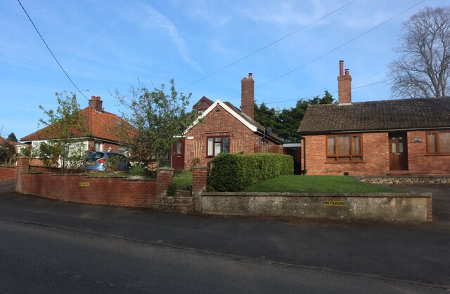
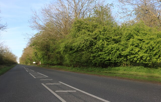
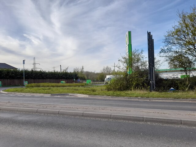
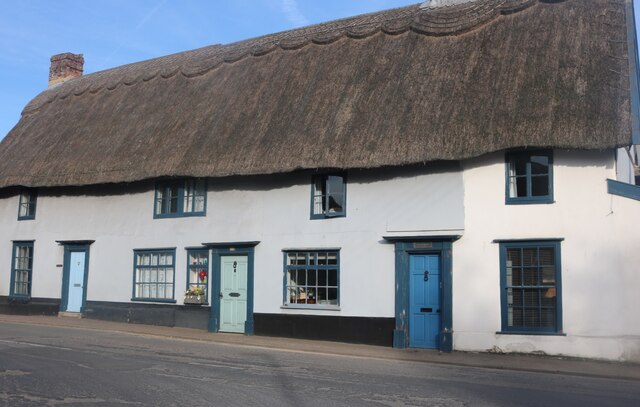
Alder Carr Images
Images are sourced within 2km of 52.358986/1.1609427 or Grid Reference TM1578. Thanks to Geograph Open Source API. All images are credited.
Alder Carr is located at Grid Ref: TM1578 (Lat: 52.358986, Lng: 1.1609427)
Administrative County: Suffolk
District: Mid Suffolk
Police Authority: Suffolk
What 3 Words
///flows.pavement.beginning. Near Scole, Norfolk
Nearby Locations
Related Wikis

Scole
Scole () is a village on the Norfolk–Suffolk border in England. It is 19 miles south of Norwich and lay on the old Roman road to Venta Icenorum, which...
Oakley, Suffolk
Oakley is a village and former civil parish in the Mid Suffolk district, in the north of the English county of Suffolk. It lies immediately to the south...
Brome and Oakley
Brome and Oakley is a civil parish in the Mid Suffolk district of the English county of Suffolk. The parish is in the north of the county, immediately...
Billingford, South Norfolk
Billingford or Pirleston is a village and former civil parish, 19 miles (31 km) south of Norwich, now in the parish of Scole, in the South Norfolk district...
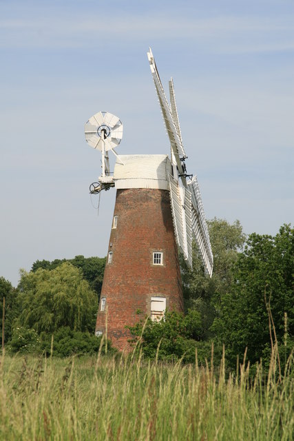
Billingford Windmill
Billingford Windmill is a grade II* listed brick tower mill at Billingford near Diss, Norfolk, England which has been preserved and restored to working...

Dickleburgh and Rushall
Dickleburgh and Rushall is a civil parish in South Norfolk. It covers an area of 14.90 km2 (5.75 sq mi) and had a population of 1356 in 565 households...
Stuston
Stuston is a small village and civil parish in the Mid-Suffolk district of the county of Suffolk, England close to the border with Norfolk, England. Its...
River Dove, Suffolk
The River Dove is a river in the county of Suffolk. It is a tributary of the River Waveney starting near Bacton going through Eye to the Waveney. ��2...
Related Videos

AMPERSAND BREWERY & BAR IN DISS NORFOLK
Ampersand Brewery Bar in Diss...Superb !!
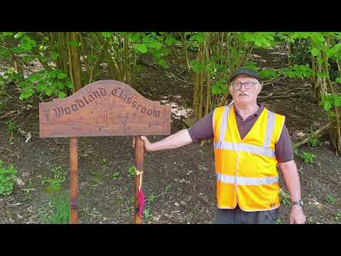
Scole Nature Trails Trust Funding
The Scole Nature Trails Trust is a community charity that supports its local village by provision of a Pocket Park, nature pathways ...
Nearby Amenities
Located within 500m of 52.358986,1.1609427Have you been to Alder Carr?
Leave your review of Alder Carr below (or comments, questions and feedback).