Tendring Grove
Wood, Forest in Essex Tendring
England
Tendring Grove

Tendring Grove is a picturesque woodland located in the county of Essex, England. Situated in the heart of the Tendring district, it is a haven for nature enthusiasts and those seeking tranquility amidst the beauty of the outdoors.
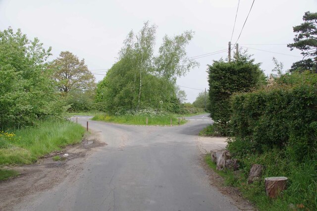
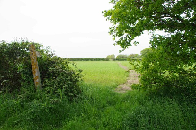
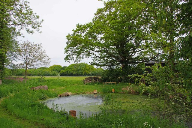
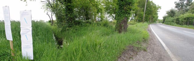
Covering an area of approximately 50 acres, Tendring Grove is characterized by its dense forest, consisting mainly of oak, beech, and birch trees. The woodland boasts a diverse range of flora and fauna, providing a habitat for various species of birds, mammals, and insects. Walking along the well-maintained paths, visitors can spot squirrels darting between the trees, hear the songs of numerous bird species, and observe the occasional deer grazing in the meadows.
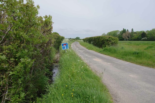
The grove offers a number of amenities to enhance visitors' experiences, including picnic areas and benches strategically placed to provide stunning views of the surroundings. There are also designated barbecue spots for those who wish to enjoy a meal in the great outdoors. The Woodland Trust, the organization responsible for the management and preservation of Tendring Grove, ensures that the woodland remains accessible to all, providing ample parking spaces and maintaining the paths to allow easy navigation.
Tendring Grove is not only a natural oasis but also holds historical significance. The woodland is believed to have existed for centuries, with evidence of human activity dating back to the Roman era. Archaeological finds, such as pottery fragments and ancient coins, have been discovered in the area, contributing to its cultural importance.
Overall, Tendring Grove is a cherished natural gem in Essex, offering visitors a chance to escape the hustle and bustle of city life and immerse themselves in the serenity of the woodlands.
If you have any feedback on the listing, please let us know in the comments section below.
Tendring Grove Images
Images are sourced within 2km of 51.875925/1.1269707 or Grid Reference TM1524. Thanks to Geograph Open Source API. All images are credited.


Tendring Grove is located at Grid Ref: TM1524 (Lat: 51.875925, Lng: 1.1269707)
Administrative County: Essex
District: Tendring
Police Authority: Essex
What 3 Words
///crumble.talkative.riding. Near Thorpe le Soken, Essex
Nearby Locations
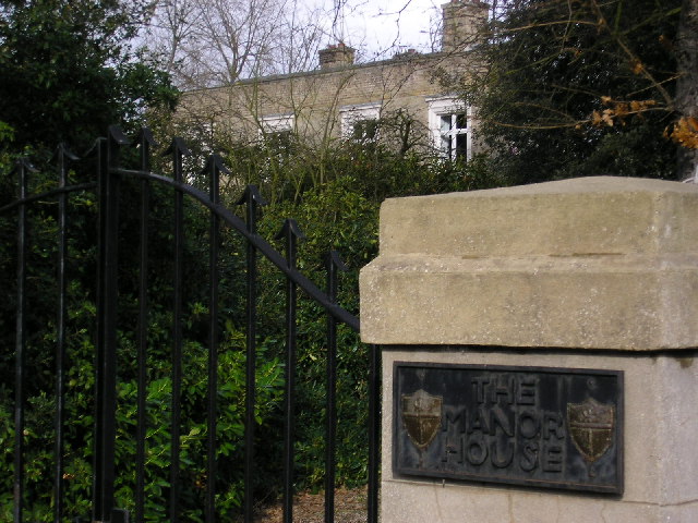
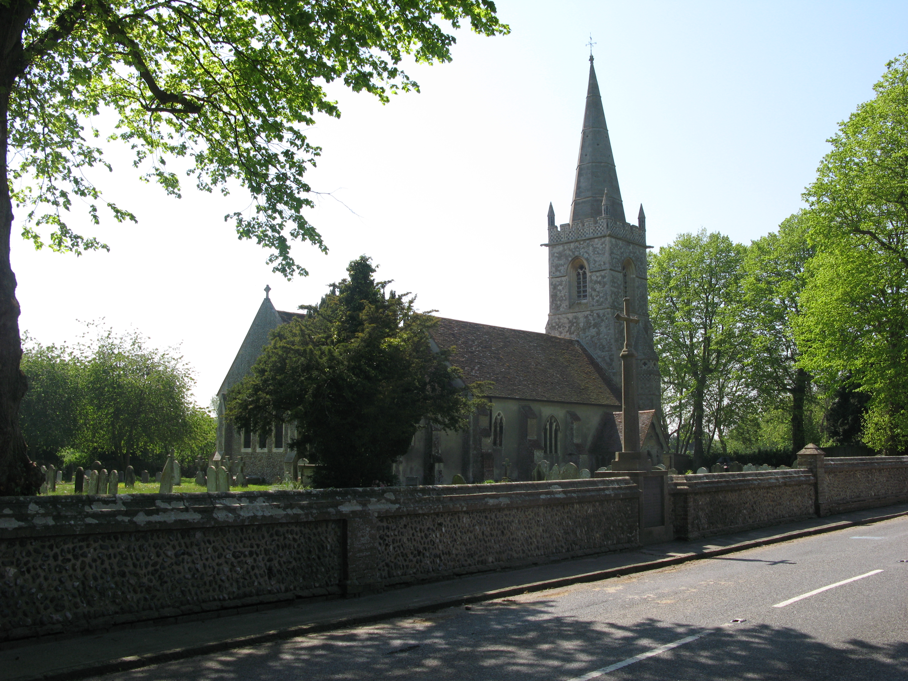
Related Wikis
Tendring
Tendring is a village and civil parish in Essex. It gives its name to the Tendring District and before that the Tendring Hundred. Its name was given to...

Beaumont-cum-Moze
Beaumont-cum-Moze (grid reference TM175250) is a civil parish in the Tendring district of Essex, England. According to the 2001 census it had a population...

Weeley railway station
Weeley railway station is on the Sunshine Coast Line, a branch of the Great Eastern Main Line, in the East of England, serving the village of Weeley, Essex...

Stones Green
Stones Green is a hamlet near the village of Wix and the town of Harwich, in the Tendring district, in the English county of Essex. == References == A...
Comarques, Thorpe-le-Soken
Comarques is an 18th-century country house in Thorpe-le-Soken, Essex, England. It has been attributed to the architect, Sir Robert Taylor. Named after...

Weeley
Weeley is a village and civil parish in Tendring, east Essex, England. The population of the parish at the 2011 Census was 1,768. It is served by Weeley...

Thorpe-le-Soken
Thorpe-le-Soken is a village and civil parish in the Tendring district of Essex, England. It is located east of Colchester, west of Walton-on-the-Naze...

Weeleyhall Wood
Weeleyhall Wood is a 31 hectare biological Site of Special Scientific Interest north of Clacton-on-Sea in Essex. It is managed by the Essex Wildlife Trust...
Nearby Amenities
Located within 500m of 51.875925,1.1269707Have you been to Tendring Grove?
Leave your review of Tendring Grove below (or comments, questions and feedback).