The Plantation

Wood, Forest in Essex Tendring

England

The Plantation

New Hedge Near Barnard's Farm Looking towards Mill House.
New Hedge Near Barnard's Farm Credit: Glyn Baker

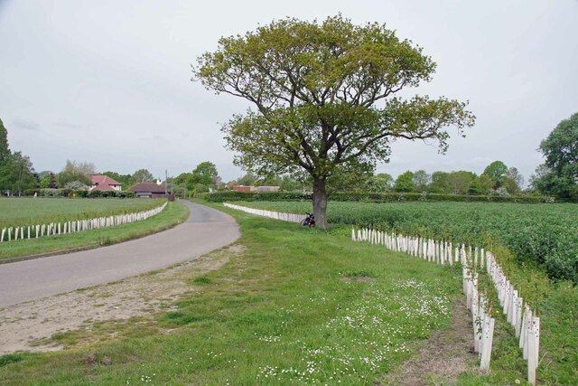
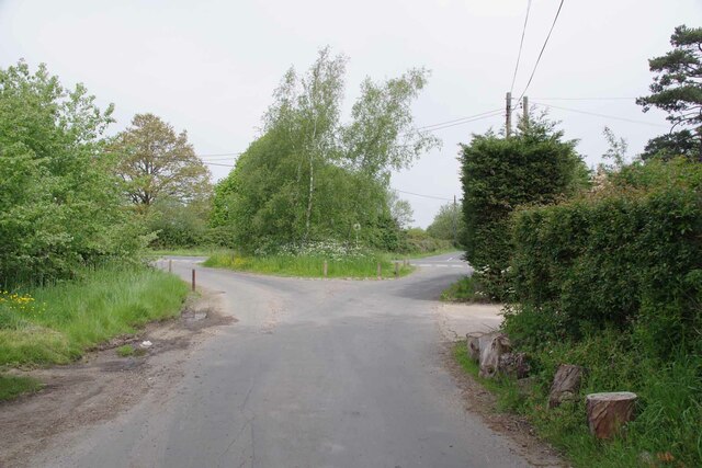
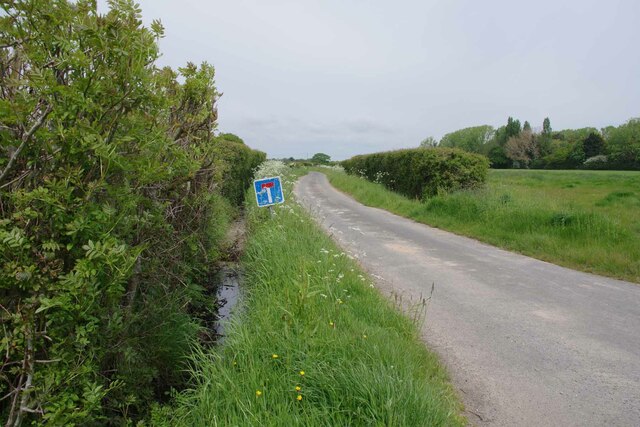
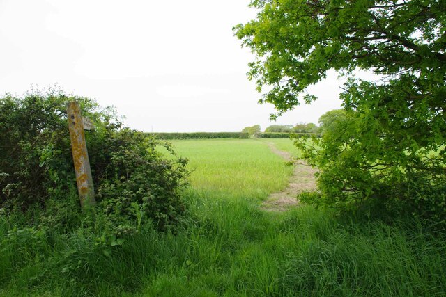
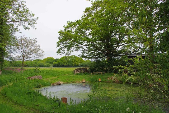
The Plantation in Essex, also known as Wood or Forest, is a sprawling estate located in the southeastern part of England. Covering a vast area, it is renowned for its picturesque landscapes, dense woodlands, and rich biodiversity. The Plantation is situated within the boundaries of the county of Essex, which is known for its fertile soil and favorable climate.

The estate features an extensive variety of trees, including oak, beech, and pine, which provide a natural haven for numerous wildlife species. The Wood is home to a diverse range of birds, mammals, and insects, making it a popular destination for nature enthusiasts and birdwatchers. The tranquil atmosphere and scenic beauty of the forest attract visitors throughout the year.

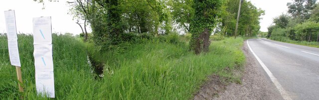
The Plantation offers a range of recreational activities, including hiking trails, cycling routes, and picnic spots. The well-maintained paths and marked trails make it an ideal location for outdoor enthusiasts to explore the area's natural wonders. Additionally, the estate provides opportunities for wildlife conservation and education through guided tours and workshops.

The Wood has a rich historical significance, dating back to ancient times when it was used for hunting and gathering. Over the centuries, it has witnessed various stages of development and has been preserved as an important natural resource. The Plantation is managed by a dedicated team of conservationists and experts who work diligently to maintain its ecological balance and protect its unique flora and fauna.

In conclusion, The Plantation, Essex (Wood, Forest) is a remarkable estate that offers a captivating blend of natural beauty, recreational activities, and historical significance. Its lush woodlands, diverse wildlife, and well-preserved landscapes make it a cherished destination for both locals and tourists alike.

If you have any feedback on the listing, please let us know in the comments section below.

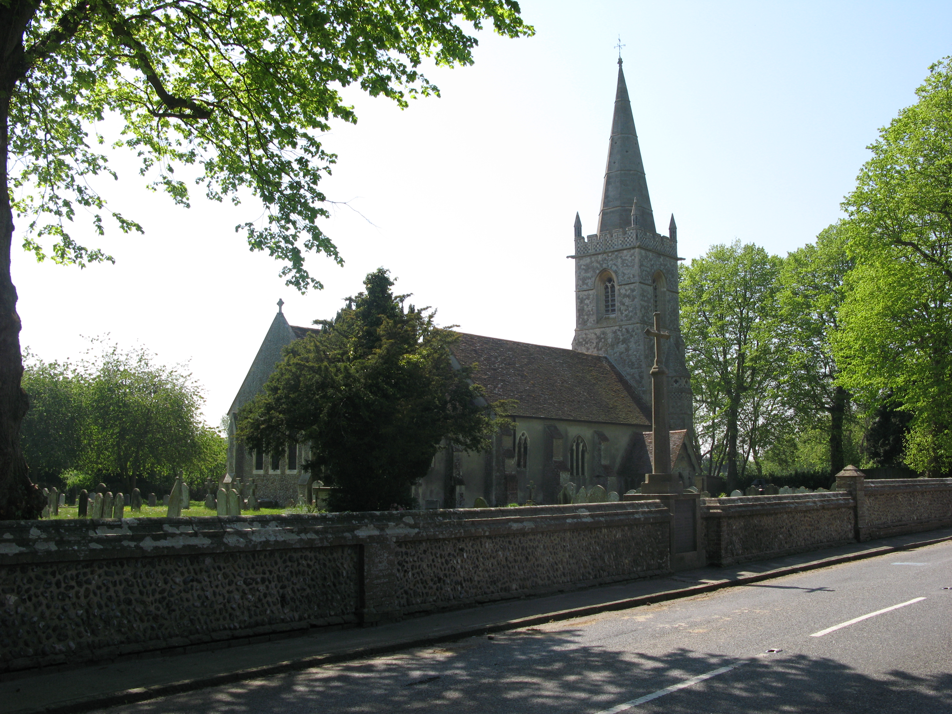
The Plantation Images

Images are sourced within 2km of 51.870504/1.1265218 or Grid Reference TM1523. Thanks to Geograph Open Source API. All images are credited.

New Hedge Near Barnard's Farm Looking towards Mill House.
New Hedge Near Barnard's Farm
Looking towards Mill House.
Road Junction at Far Thorpe Green Taken from Barnard's Farm Drive looking across the B1033 Colchester Rd into Whitehall Lane.
Road Junction at Far Thorpe Green
Taken from Barnard's Farm Drive looking across the B1033 Colchester Rd into Whitehall Lane.
Hillhouse Lane Looking towards Hillhouse Farm.
Hillhouse Lane
Looking towards Hillhouse Farm.
Footpath 2 Thorpe le Soken Looking towards <a href="https://www.geograph.org.uk/photo/7490054">TM1623 : Hillhouse Lane</a>
Footpath 2 Thorpe le Soken
Looking towards TM1623 : Hillhouse Lane
Pond in Whitehall Lane On the other side of the lane from Bradley Hall.
Pond in Whitehall Lane
On the other side of the lane from Bradley Hall.
Tendering Road Panorama Tendering seemed to be plastered with planning notices referencing scraps of land that will be affected by works related to the North Falls Offshore Wind Farm. See <a href="https://www.geograph.org.uk/photo/7490109">TM1623 : North Shore Parcel 1376 Notice</a>
Tendering Road Panorama
Tendering seemed to be plastered with planning notices referencing scraps of land that will be affected by works related to the North Falls Offshore Wind Farm. See TM1623 : North Shore Parcel 1376 Notice
North Shore Parcel 1376 Notice A close up of one of the signs in <a href="https://www.geograph.org.uk/photo/7490108">TM1623 : Tendering Road Panorama</a>
North Shore Parcel 1376 Notice
A close up of one of the signs in TM1623 : Tendering Road Panorama
The Black Boy Pub The name refers to Charles II see <a href="https://www.geograph.org.uk/photo/7592334">TM1422 : Black Boy Explanation</a>
The Black Boy Pub
The name refers to Charles II see TM1422 : Black Boy Explanation
Black Boy Explanation This sign is on the wall of the <a href="https://www.geograph.org.uk/photo/7592323">TM1422 : The Black Boy Pub</a> in Weeley.
Black Boy Explanation
This sign is on the wall of the TM1422 : The Black Boy Pub in Weeley.
Plymouth Brethren Church In my book a place of this size in a village would be a chapel. However it is proudly proclaimed to be a church.
Plymouth Brethren Church
In my book a place of this size in a village would be a chapel. However it is proudly proclaimed to be a church.
The Street Looking towards First Avenue at Weeley House.
The Street
Looking towards First Avenue at Weeley House.
The Queen’s Corner The seat was placed to mark the Queens Platinum Jubilee. 
Take a look at the <a href="https://www.geograph.org.uk/photo/7592366">TM1421 : The Queen's Corner Explanation</a>
The Queen’s Corner
The seat was placed to mark the Queens Platinum Jubilee. Take a look at the TM1421 : The Queen's Corner Explanation
The Queen's Corner Explanation The Interpretation board for <a href="https://www.geograph.org.uk/photo/7592354">TM1421 : The Queen’s Corner</a> "jubilee Garden".
The Queen's Corner Explanation
The Interpretation board for TM1421 : The Queen’s Corner "jubilee Garden".
Weeley Wildlife Garden Lots of beetle food and bug houses. All the summer flowers have now gone to seed. This area will need a serious haircut before spring if it is not to turn into a bramble patch.
Weeley Wildlife Garden
Lots of beetle food and bug houses. All the summer flowers have now gone to seed. This area will need a serious haircut before spring if it is not to turn into a bramble patch.
Cherry Tree Inn Junction of Thorpe Road and Crow Lane, Tendring
Cherry Tree Inn
Junction of Thorpe Road and Crow Lane, Tendring
John Cardinall lives here A shield done in flints and other stones on the wall of the <a href="https://www.geograph.org.uk/photo/124704">TM1523 : Manor House, Tendring</a> in Crow Lane. It incorporates the initials JC which probably stand for John Cardinall, JP who lived here in the 1870s <span class="nowrap"><a title="http://essexpub.net/Directories/Seats.htm" rel="nofollow ugc noopener" href="http://essexpub.net/Directories/Seats.htm">Link</a><img style="margin-left:2px;" alt="External link" title="External link - shift click to open in new window" src="https://s1.geograph.org.uk/img/external.png" width="10" height="10"/></span>
John Cardinall lives here
A shield done in flints and other stones on the wall of the TM1523 : Manor House, Tendring in Crow Lane. It incorporates the initials JC which probably stand for John Cardinall, JP who lived here in the 1870s LinkExternal link
Manor House, Tendring in Crow Lane. <a href="https://www.geograph.org.uk/photo/124070">TM1523 : John Cardinall lives here</a> or at least he did in the 1870s - the same shield figures on the name plate.
Manor House, Tendring
in Crow Lane. TM1523 : John Cardinall lives here or at least he did in the 1870s - the same shield figures on the name plate.
National School, Tendring in The Street. Built in 1842. Now the village hall.
National School, Tendring
in The Street. Built in 1842. Now the village hall.
Show me another place!

The Plantation is located at Grid Ref: TM1523 (Lat: 51.870504, Lng: 1.1265218)

Administrative County: Essex

District: Tendring

Police Authority: Essex

What 3 Words

///wager.coaching.slid. Near Thorpe le Soken, Essex

Nearby Locations

The Spinney The Plantation

Related Wikis

Tendring

Tendring is a village and civil parish in Essex. It gives its name to the Tendring District and before that the Tendring Hundred. Its name was given to...

Weeley railway station

Weeley railway station is on the Sunshine Coast Line, a branch of the Great Eastern Main Line, in the East of England, serving the village of Weeley, Essex...

Weeley

Weeley is a village and civil parish in Tendring, east Essex, England. The population of the parish at the 2011 Census was 1,768. It is served by Weeley...

Comarques, Thorpe-le-Soken

Comarques is an 18th-century country house in Thorpe-le-Soken, Essex, England. It has been attributed to the architect, Sir Robert Taylor. Named after...

Beaumont-cum-Moze

Beaumont-cum-Moze (grid reference TM175250) is a civil parish in the Tendring district of Essex, England. According to the 2001 census it had a population...

Weeleyhall Wood

Weeleyhall Wood is a 31 hectare biological Site of Special Scientific Interest north of Clacton-on-Sea in Essex. It is managed by the Essex Wildlife Trust...

Thorpe-le-Soken

Thorpe-le-Soken is a village and civil parish in the Tendring district of Essex, England. It is located east of Colchester, west of Walton-on-the-Naze...

Weeley Heath

Weeley Heath is a hamlet on the B1441 road and the B1414 road, in the Tendring district, in the English county of Essex. Nearby settlements include the...

Nearby Amenities

Located within 500m of 51.870504,1.1265218
Post Box
Postal Code: CO16 9AP
Ref: CO16 61
Lat/Long: 51.8721388/1.1242646
The Bicycle
Naptan AtcoCode: 1500IM249
Naptan Bearing: W
Naptan BusStopType: CUS
Naptan CommonName: The Bicycle
Naptan Indicator: o/s
Naptan Landmark: The Bicycle
Naptan NaptanCode: esxadamj
Naptan Street: Thorpe Road
Naptan Verified: no
Public Transport: platform
Source: naptan_import
Lat/Long: 51.8738547/1.1230345
The Bicycle
Naptan AtcoCode: 1500IM249AA
Naptan Bearing: E
Naptan BusStopType: CUS
Naptan CommonName: The Bicycle
Naptan Indicator: Opp
Naptan Landmark: The Bicycle
Naptan NaptanCode: esxjajad
Naptan Street: Thorpe Road
Naptan Verified: no
Public Transport: platform
Source: naptan_import
Lat/Long: 51.8738703/1.1232348
Ford: yes
Note: footbridge to left. there is culverting, but presumably becomes ford after heavy rain
Lat/Long: 51.8676712/1.1278824
Power: pole
Source: bing
Lat/Long: 51.8663039/1.1289682
Power: pole
Source: bing
Lat/Long: 51.873677/1.1271945
Power: pole
Source: bing
Transformer: distribution
Lat/Long: 51.8737438/1.128682
Power: pole
Source: bing
Lat/Long: 51.8738001/1.1310277
Power: pole
Source: bing
Lat/Long: 51.8737996/1.1295353
Power: pole
Source: bing
Lat/Long: 51.873812/1.1302894
Power: pole
Source: bing
Lat/Long: 51.8738181/1.1287674
Power: pole
Lat/Long: 51.8736113/1.1257377
Power: pole
Lat/Long: 51.8736039/1.1242169
Power: pole
Transformer: distribution
Lat/Long: 51.8738013/1.1231482
The data included in this document is from www.openstreetmap.org. The data is made available under ODbL.

Have you been to The Plantation?

Leave your review of The Plantation below (or comments, questions and feedback).