Frampton

Settlement in Dorset

England

Frampton

Frampton The A356 to Crewkerne heading west through the village.
Frampton Credit: Trevor Harris

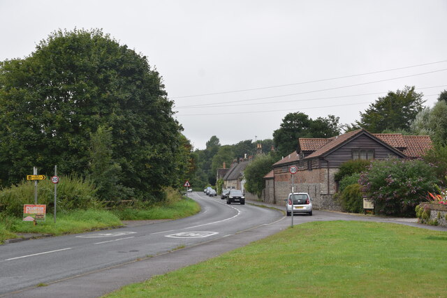
Frampton is a small village located in the county of Dorset, England. Situated just 6 miles south of the county town of Dorchester, Frampton is a picturesque village that exudes charm and tranquility. It is nestled in a rural setting, surrounded by rolling hills and beautiful countryside.

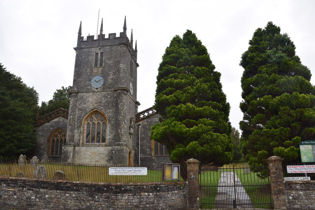
The village is known for its quintessential English architecture, with many of its buildings dating back to the 17th and 18th centuries. The centerpiece of Frampton is St. Mary's Church, a stunning medieval church that stands proudly in the heart of the village. It is a popular attraction for visitors who appreciate its historical significance and architectural beauty.

Frampton has a close-knit community, with a population of around 500 residents. The village is well-served by amenities, including a village hall, a primary school, and a local pub. There are also various walking trails and nature reserves in the surrounding area, making it an ideal destination for nature enthusiasts.

Frampton is also known for its annual summer fair, which attracts both locals and visitors from nearby towns and villages. The fair features a range of entertainment, including live music, traditional games, and local food and drink stalls. It is a wonderful opportunity for people to come together and celebrate the village's community spirit.

Overall, Frampton offers a peaceful and idyllic setting, where residents and visitors can enjoy the beauty of the English countryside and experience a true sense of community.

If you have any feedback on the listing, please let us know in the comments section below.
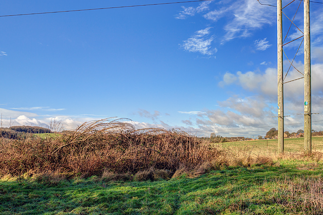
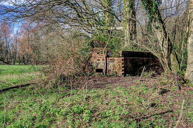
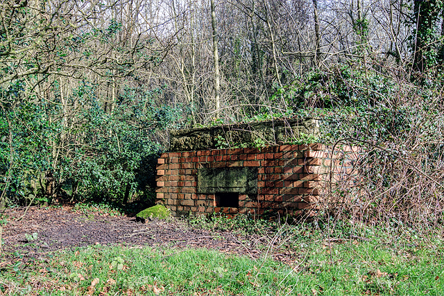
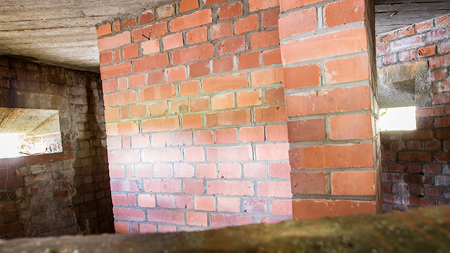
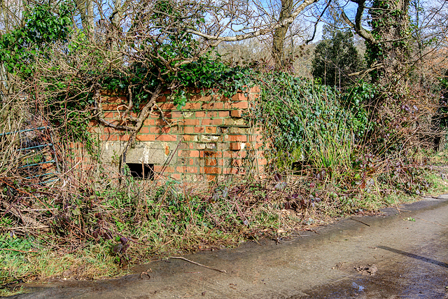
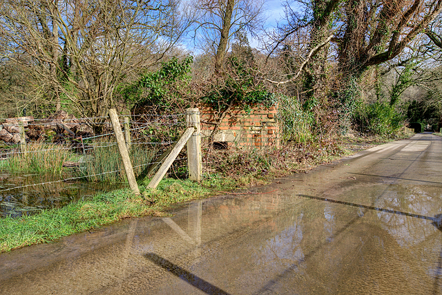
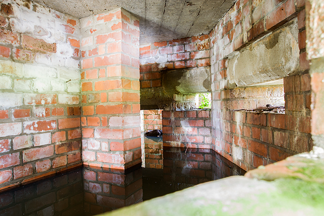
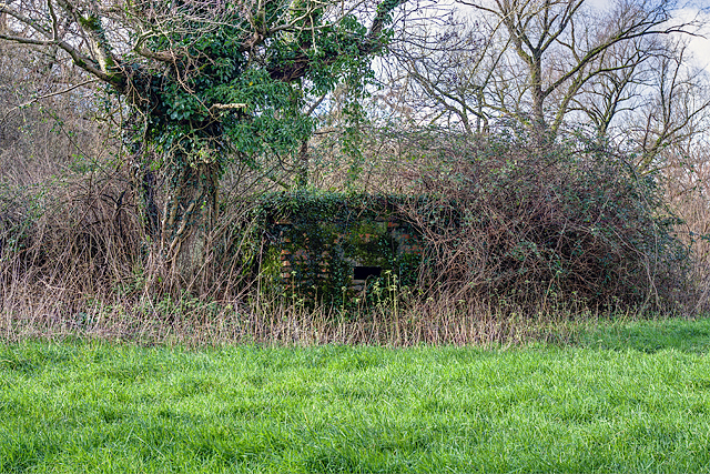
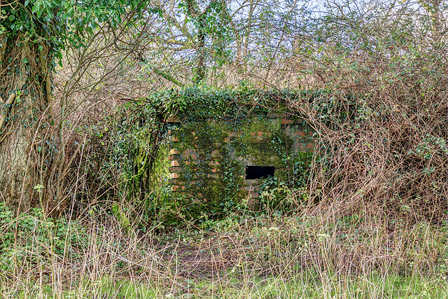
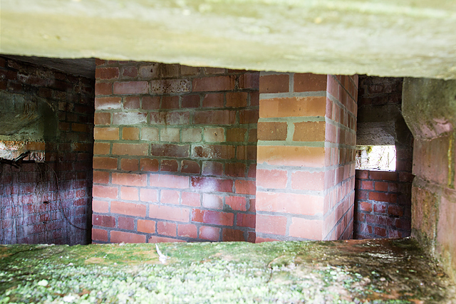
Frampton Images

Images are sourced within 2km of 50.754661/-2.5297827 or Grid Reference SY6295. Thanks to Geograph Open Source API. All images are credited.

Frampton The A356 to Crewkerne heading west through the village.
Frampton
The A356 to Crewkerne heading west through the village.
St Mary's Frampton Taken at the end of Church Lane.
St Mary's Frampton
Taken at the end of Church Lane.
Direction Sign – Signpost on the A356 Dorchester Road in Frampton Located on the southwest side of the T junction of the A356 Dorchester Road and a minor road to Southover in Frampton parish. The annulus & bar finial has been reused from an older fingerpost. See also <a title="https://www.geograph.org.uk/photo/1785096" href="https://www.geograph.org.uk/photo/1785096">Link</a>.

Milestone Society National ID: DO_SY6295
Direction Sign – Signpost on the A356 Dorchester Road in Frampton
Located on the southwest side of the T junction of the A356 Dorchester Road and a minor road to Southover in Frampton parish. The annulus & bar finial has been reused from an older fingerpost. See also Link. Milestone Society National ID: DO_SY6295
Direction Sign – Signpost Located between Frampton and Grimstone on an island in the centre of the junction of the A37 Dorchester Road and a minor road to Langford Farm, Stratton parish. The annulus & bar finial and pillar remain but the arms of the fingerpost have gone. See also <a title="https://www.geograph.org.uk/photo/1785108" href="https://www.geograph.org.uk/photo/1785108">Link</a>.

Milestone Society National ID: DO_SY6394
Direction Sign – Signpost
Located between Frampton and Grimstone on an island in the centre of the junction of the A37 Dorchester Road and a minor road to Langford Farm, Stratton parish. The annulus & bar finial and pillar remain but the arms of the fingerpost have gone. See also Link. Milestone Society National ID: DO_SY6394
Old Milestone by the A356, Frampton Carved stone post by the A356, in parish of FRAMPTON (WEST DORSET District), Frampton Road, 'Milestone', No. 4., Part of the wall, on North side of road. Dorset 3 (limestone), erected by the Maiden Newton turnpike trust in the 19th century.

Inscription reads:-
3
Maiden Newton
5
Dorchester

Milestone Society National ID: DO_MNDO03.
Old Milestone by the A356, Frampton
Carved stone post by the A356, in parish of FRAMPTON (WEST DORSET District), Frampton Road, 'Milestone', No. 4., Part of the wall, on North side of road. Dorset 3 (limestone), erected by the Maiden Newton turnpike trust in the 19th century. Inscription reads:- 3 Maiden Newton 5 Dorchester Milestone Society National ID: DO_MNDO03.
Defending Dorset in 1940: the Maiden Newton - Poole Harbour Stop Line (29) -
Pillbox (type FW3/23): S0003134

Notton - Crockway Farm - Type 23 Pillbox.  The Stop Line continues inexorably on its route eastwards along the railway with inevitably, yet another pillbox. This type 23 is on the railway crossing at Crockway Farm. Not that much is visible under all that vegetation, but it's of standard brick and concrete construction and has 4 embrasures.

<a href="https://www.geograph.org.uk/photo/4841951">SY6195 : Defending Dorset in 1940: the Maiden Newton - Poole Harbour Stop Line (30)</a>
Defending Dorset in 1940: the Maiden Newton - Poole Harbour Stop Line (29)
- Pillbox (type FW3/23): S0003134 Notton - Crockway Farm - Type 23 Pillbox. The Stop Line continues inexorably on its route eastwards along the railway with inevitably, yet another pillbox. This type 23 is on the railway crossing at Crockway Farm. Not that much is visible under all that vegetation, but it's of standard brick and concrete construction and has 4 embrasures. SY6195 : Defending Dorset in 1940: the Maiden Newton - Poole Harbour Stop Line (30)
Defending Dorset in 1940: the Maiden Newton - Poole Harbour Stop Line (30) -
Pillbox (type FW3/22): DoB ID: S0000073

Notton - FP Level Crossing - Type 22 Pillbox.  At the public FP level crossing over the railway is a half-destroyed type 22 pillbox that was deemed to have restricted pedestrian visibility at the crossing, and so the offending portion (the front) was removed! It would appear that the rapidly encroaching vegetation will soon restore the former status quo.

<a href="https://www.geograph.org.uk/photo/4841960">SY6295 : Defending Dorset in 1940: the Maiden Newton - Poole Harbour Stop Line (31)</a>
Defending Dorset in 1940: the Maiden Newton - Poole Harbour Stop Line (30)
- Pillbox (type FW3/22): DoB ID: S0000073 Notton - FP Level Crossing - Type 22 Pillbox. At the public FP level crossing over the railway is a half-destroyed type 22 pillbox that was deemed to have restricted pedestrian visibility at the crossing, and so the offending portion (the front) was removed! It would appear that the rapidly encroaching vegetation will soon restore the former status quo. SY6295 : Defending Dorset in 1940: the Maiden Newton - Poole Harbour Stop Line (31)
Defending Dorset in 1940: the Maiden Newton - Poole Harbour Stop Line (31) -
Pillbox (type FW3/23): DoB ID: S0000043

Frampton - Church Lane - Type 23 Pillbox.  On the north side of the railway embankment under all that ivy is a type 23 pillbox of brick and concrete. Also, about 200 yards away in the wood close to the railway bridge is a former ammunition store, a roofless shell of a Nissen hut that like its neighbour, has now completely disappeared under vegetation.

<a href="https://www.geograph.org.uk/photo/4841966">SY6394 : Defending Dorset in 1940: the Maiden Newton - Poole Harbour Stop Line (32)</a>
Defending Dorset in 1940: the Maiden Newton - Poole Harbour Stop Line (31)
- Pillbox (type FW3/23): DoB ID: S0000043 Frampton - Church Lane - Type 23 Pillbox. On the north side of the railway embankment under all that ivy is a type 23 pillbox of brick and concrete. Also, about 200 yards away in the wood close to the railway bridge is a former ammunition store, a roofless shell of a Nissen hut that like its neighbour, has now completely disappeared under vegetation. SY6394 : Defending Dorset in 1940: the Maiden Newton - Poole Harbour Stop Line (32)
Defending Dorset in 1940: the Maiden Newton - Poole Harbour Stop Line (32) -
Pillbox (type FW3/22): DoB ID: S0000072

Frampton - Tunnel House - Site of Type 22 Pillbox.  According to records almost 20 years ago there was a pillbox here that even at that time was only in 'fair' condition. The site is on farm land on an escarpment just to the northeast of the village, and overlooks the railway tunnel entrance. Nothing survives today other than fragments of the concrete roof, and the odd brick, the remainder lies buried under a soil heap covered by brambles. With thanks to Tunnel House for access.

<a href="https://www.geograph.org.uk/photo/4841973">SY6394 : Defending Dorset in 1940: the Maiden Newton - Poole Harbour Stop Line (33)</a>
Defending Dorset in 1940: the Maiden Newton - Poole Harbour Stop Line (32)
- Pillbox (type FW3/22): DoB ID: S0000072 Frampton - Tunnel House - Site of Type 22 Pillbox. According to records almost 20 years ago there was a pillbox here that even at that time was only in 'fair' condition. The site is on farm land on an escarpment just to the northeast of the village, and overlooks the railway tunnel entrance. Nothing survives today other than fragments of the concrete roof, and the odd brick, the remainder lies buried under a soil heap covered by brambles. With thanks to Tunnel House for access. SY6394 : Defending Dorset in 1940: the Maiden Newton - Poole Harbour Stop Line (33)
Defending Dorset in 1940: the Maiden Newton - Poole Harbour Stop Line (33) -
Pillbox (type FW3/22): DoB ID: S0000071

Frampton - Frampton Park (Peacock Plantation) - Type 22 Pillbox.  The first of three such pillboxes all built practically within sight of each other in the Park (there were once four!). Quite why so many in such a comparatively small area is unknown. This one is of standard construction of brick and concrete having 5 main embrasures, and a small pistol port at the entrance. Its location is in woodland in Frampton Park, close to the main A356 on the south edge of Peacock Plantation. It is assumed they were built to cover the open ground between the A356 road to the north, and the River Frome to the south. Of the four, three survive, the fourth was demolished during modern improvements to the A356/A37 road junction.

<a href="https://www.geograph.org.uk/photo/4841982">SY6394 : Defending Dorset in 1940: the Maiden Newton - Poole Harbour Stop Line (34)</a>
Defending Dorset in 1940: the Maiden Newton - Poole Harbour Stop Line (33)
- Pillbox (type FW3/22): DoB ID: S0000071 Frampton - Frampton Park (Peacock Plantation) - Type 22 Pillbox. The first of three such pillboxes all built practically within sight of each other in the Park (there were once four!). Quite why so many in such a comparatively small area is unknown. This one is of standard construction of brick and concrete having 5 main embrasures, and a small pistol port at the entrance. Its location is in woodland in Frampton Park, close to the main A356 on the south edge of Peacock Plantation. It is assumed they were built to cover the open ground between the A356 road to the north, and the River Frome to the south. Of the four, three survive, the fourth was demolished during modern improvements to the A356/A37 road junction. SY6394 : Defending Dorset in 1940: the Maiden Newton - Poole Harbour Stop Line (34)
Defending Dorset in 1940: the Maiden Newton - Poole Harbour Stop Line (34) -
Pillbox (type FW3/22): DoB ID: S0000071

Frampton - Frampton Park (Peacock Plantation) - Type 22 Pillbox.  A view of the opposite side of the pillbox in Frampton Park that lies close to the A356 in woodland on the south edge of Peacock Plantation.

<a href="https://www.geograph.org.uk/photo/4841988">SY6394 : Defending Dorset in 1940: the Maiden Newton - Poole Harbour Stop Line (35)</a>
Defending Dorset in 1940: the Maiden Newton - Poole Harbour Stop Line (34)
- Pillbox (type FW3/22): DoB ID: S0000071 Frampton - Frampton Park (Peacock Plantation) - Type 22 Pillbox. A view of the opposite side of the pillbox in Frampton Park that lies close to the A356 in woodland on the south edge of Peacock Plantation. SY6394 : Defending Dorset in 1940: the Maiden Newton - Poole Harbour Stop Line (35)
Defending Dorset in 1940: the Maiden Newton - Poole Harbour Stop Line (35) -
Pillbox (type FW3/22): DoB ID: S0000071

Frampton - Frampton Park (Peacock Plantation) - Type 22 Pillbox.  Interior view of the pillbox near the A356 in Frampton Park, looking in from the outside through an embrasure. The T plan blast wall is evident here in the immediate foreground.

<a href="https://www.geograph.org.uk/photo/4841994">SY6394 : Defending Dorset in 1940: the Maiden Newton - Poole Harbour Stop Line (36)</a>
Defending Dorset in 1940: the Maiden Newton - Poole Harbour Stop Line (35)
- Pillbox (type FW3/22): DoB ID: S0000071 Frampton - Frampton Park (Peacock Plantation) - Type 22 Pillbox. Interior view of the pillbox near the A356 in Frampton Park, looking in from the outside through an embrasure. The T plan blast wall is evident here in the immediate foreground. SY6394 : Defending Dorset in 1940: the Maiden Newton - Poole Harbour Stop Line (36)
Defending Dorset in 1940: the Maiden Newton - Poole Harbour Stop Line (36) -
Pillbox (type FW3/22): DoB ID: S0000070

Frampton - Frampton Park FP - Type 22 Pillbox.  The second of the three pillboxes in Frampton Park, this one sits on the public FP south of Peacock Lodge, and is also of standard construction of brick and concrete, with 5 embrasures, and a pistol port that covers the entrance.

<a href="https://www.geograph.org.uk/photo/4841998">SY6394 : Defending Dorset in 1940: the Maiden Newton - Poole Harbour Stop Line (37)</a>
Defending Dorset in 1940: the Maiden Newton - Poole Harbour Stop Line (36)
- Pillbox (type FW3/22): DoB ID: S0000070 Frampton - Frampton Park FP - Type 22 Pillbox. The second of the three pillboxes in Frampton Park, this one sits on the public FP south of Peacock Lodge, and is also of standard construction of brick and concrete, with 5 embrasures, and a pistol port that covers the entrance. SY6394 : Defending Dorset in 1940: the Maiden Newton - Poole Harbour Stop Line (37)
Defending Dorset in 1940: the Maiden Newton - Poole Harbour Stop Line (37) -
Pillbox (type FW3/22): DoB ID: S0000070

Frampton - Frampton Park FP - Type 22 Pillbox.  Overlooking meadows alongside the public FP in the Park, south of Peacock Lodge.

<a href="https://www.geograph.org.uk/photo/4842004">SY6394 : Defending Dorset in 1940: the Maiden Newton - Poole Harbour Stop Line (38)</a>
Defending Dorset in 1940: the Maiden Newton - Poole Harbour Stop Line (37)
- Pillbox (type FW3/22): DoB ID: S0000070 Frampton - Frampton Park FP - Type 22 Pillbox. Overlooking meadows alongside the public FP in the Park, south of Peacock Lodge. SY6394 : Defending Dorset in 1940: the Maiden Newton - Poole Harbour Stop Line (38)
Defending Dorset in 1940: the Maiden Newton - Poole Harbour Stop Line (38) -
Pillbox (type FW3/22): DoB ID: S0000070

Frampton - Frampton Park FP - Type 22 Pillbox.  Interior view from one of the 5 main embrasures. Flooding to a considerable depth inside is evident. This pillbox in Frampton Park overlooks meadows alongside the public FP south of Peacock Lodge.

<a href="https://www.geograph.org.uk/photo/4842008">SY6394 : Defending Dorset in 1940: the Maiden Newton - Poole Harbour Stop Line (39)</a>
Defending Dorset in 1940: the Maiden Newton - Poole Harbour Stop Line (38)
- Pillbox (type FW3/22): DoB ID: S0000070 Frampton - Frampton Park FP - Type 22 Pillbox. Interior view from one of the 5 main embrasures. Flooding to a considerable depth inside is evident. This pillbox in Frampton Park overlooks meadows alongside the public FP south of Peacock Lodge. SY6394 : Defending Dorset in 1940: the Maiden Newton - Poole Harbour Stop Line (39)
Defending Dorset in 1940: the Maiden Newton - Poole Harbour Stop Line (39) -
Pillbox (type FW3/22): DoB ID: S0000077

Frampton - Frampton Park Weir - Type 22 Pillbox.  The third pillbox in Frampton Park, this is the most southerly overlooking a weir on the Frome. Just like the others, it's of standard brick and concrete, with 5 embrasures and a pistol port at the entrance. Flood water currently hides a 30 in. drop from the entrance step into the interior. Beware!

<a href="https://www.geograph.org.uk/photo/4842011">SY6394 : Defending Dorset in 1940: the Maiden Newton - Poole Harbour Stop Line (40)</a>
Defending Dorset in 1940: the Maiden Newton - Poole Harbour Stop Line (39)
- Pillbox (type FW3/22): DoB ID: S0000077 Frampton - Frampton Park Weir - Type 22 Pillbox. The third pillbox in Frampton Park, this is the most southerly overlooking a weir on the Frome. Just like the others, it's of standard brick and concrete, with 5 embrasures and a pistol port at the entrance. Flood water currently hides a 30 in. drop from the entrance step into the interior. Beware! SY6394 : Defending Dorset in 1940: the Maiden Newton - Poole Harbour Stop Line (40)
Defending Dorset in 1940: the Maiden Newton - Poole Harbour Stop Line (40) -
Pillbox (type FW3/22): DoB ID: S0000077

Frampton - Frampton Park Weir - Type 22 Pillbox.  A closer view of the third surviving pillbox in Frampton Park that guards a weir on the River Frome.

<a href="https://www.geograph.org.uk/photo/4842014">SY6394 : Defending Dorset in 1940: the Maiden Newton - Poole Harbour Stop Line (41)</a>
Defending Dorset in 1940: the Maiden Newton - Poole Harbour Stop Line (40)
- Pillbox (type FW3/22): DoB ID: S0000077 Frampton - Frampton Park Weir - Type 22 Pillbox. A closer view of the third surviving pillbox in Frampton Park that guards a weir on the River Frome. SY6394 : Defending Dorset in 1940: the Maiden Newton - Poole Harbour Stop Line (41)
Defending Dorset in 1940: the Maiden Newton - Poole Harbour Stop Line (41) -
Pillbox (type FW3/22): DoB ID: S0000077

Frampton - Frampton Park Weir - Type 22 Pillbox.  Interior view of the pillbox by the weir in Frampton Park.

<a href="https://www.geograph.org.uk/photo/4842020">SY6394 : Defending Dorset in 1940: the Maiden Newton - Poole Harbour Stop Line (42)</a>
Defending Dorset in 1940: the Maiden Newton - Poole Harbour Stop Line (41)
- Pillbox (type FW3/22): DoB ID: S0000077 Frampton - Frampton Park Weir - Type 22 Pillbox. Interior view of the pillbox by the weir in Frampton Park. SY6394 : Defending Dorset in 1940: the Maiden Newton - Poole Harbour Stop Line (42)
Show me another place!

Frampton is located at Grid Ref: SY6295 (Lat: 50.754661, Lng: -2.5297827)

Unitary Authority: Dorset

Police Authority: Dorset

What 3 Words

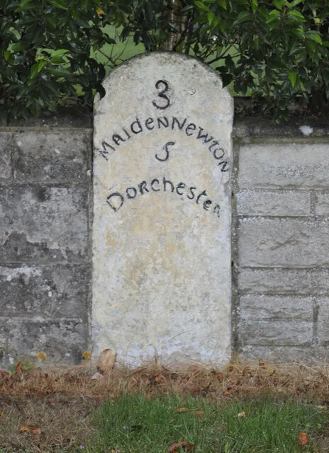
///chase.hurricane.staining. Near Maiden Newton, Dorset

Related Wikis

Frampton Priory

Frampton Priory was a Benedictine priory in England, near the village of Frampton in Dorset and mentioned in the Domesday Book. The priory was subordinate...

Frampton (liberty)

Frampton Liberty was a liberty in the county of Dorset, England, which contained the following parishes: Bettiscombe Bincombe Burton Bradstock Compton...

Frampton, Dorset

Frampton is a village and civil parish in the county of Dorset in southern England, situated approximately 5 miles (8.0 km) northwest of the county town...

Nunnery Mead

Nunnery Mead is a nature reserve of the Dorset Wildlife Trust, near Frampton and about 2 miles south-east of Maiden Newton, in Dorset, England. It is a...
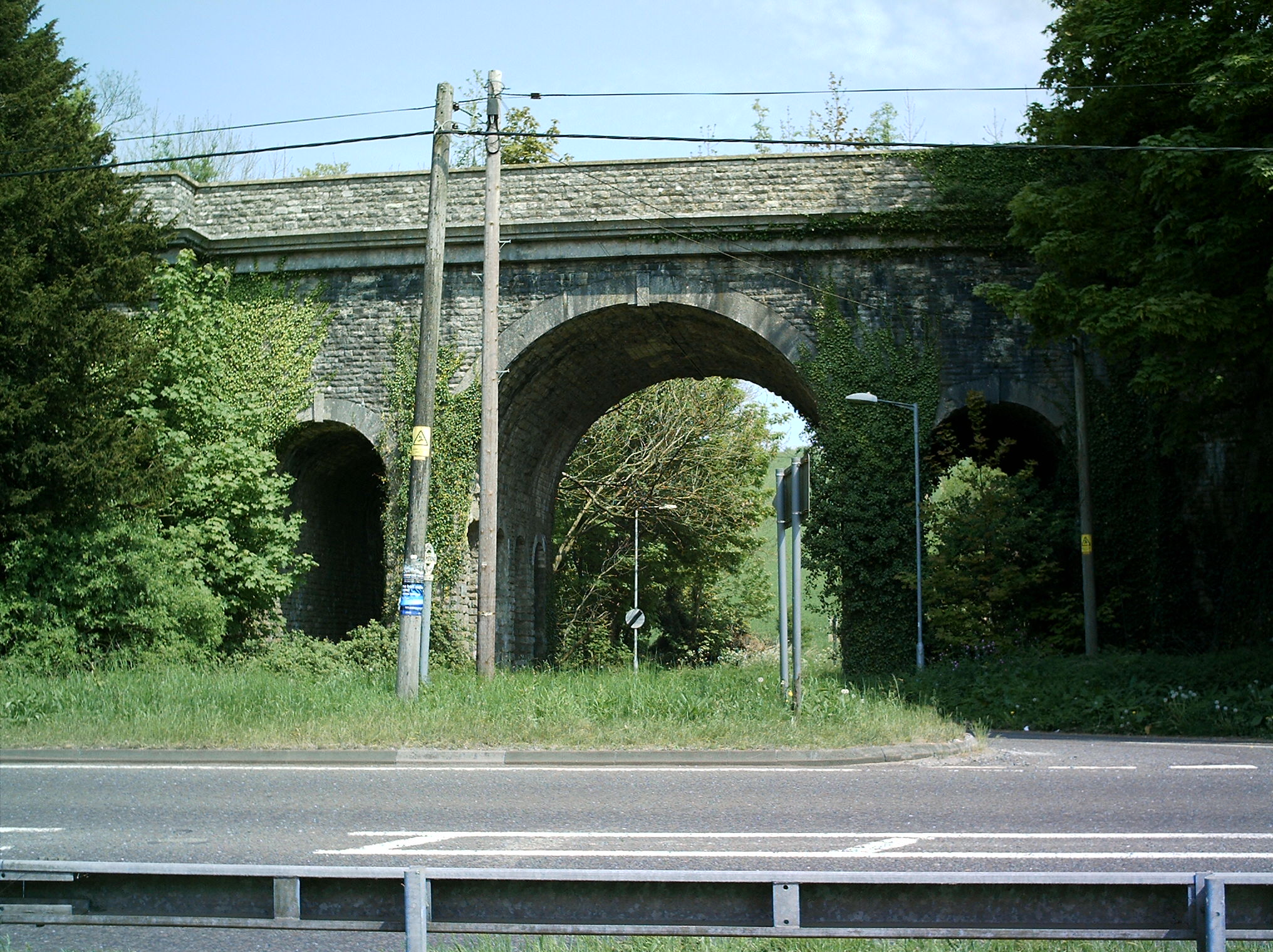
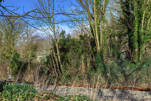
Grimstone Viaduct

The Grimstone Viaduct is a railway bridge on the Castle Cary-Weymouth "Heart of Wessex" line in Dorset, England. It is directly north of the site of Grimstone...

Grimstone and Frampton railway station

Grimstone and Frampton railway station was a station on the Wiltshire, Somerset & Weymouth Railway, part of the Great Western Railway between Maiden Newton...

Hog Cliff

Hog Cliff is a national nature reserve (NNR) and Site of Special Scientific Interest (SSSI) located 2 kilometres (1.2 mi) south east of Maiden Newton,...

Stratton, Dorset

Stratton is a village and civil parish in Dorset, England, situated in the Frome valley about 3 miles (4.8 km) north-west of Dorchester. The parish includes...

Nearby Amenities

Located within 500m of 50.754661,-2.5297827
Frampton
Is In: Dorset, England, UK
Place: village
Lat/Long: 50.7545259/-2.532456
Turning Circle
Lat/Long: 50.7548547/-2.529239
Material: wood
Power: pole
Source: bing
Lat/Long: 50.7529274/-2.5247521
Material: wood
Power: pole
Source: bing
Lat/Long: 50.7531825/-2.5240967
Material: wood
Power: pole
Source: bing
Lat/Long: 50.7532215/-2.5257289
Material: wood
Power: pole
Source: bing
Lat/Long: 50.7536425/-2.5270846
Material: wood
Power: pole
Source: bing
Lat/Long: 50.7539915/-2.5250833
Material: wood
Power: pole
Source: bing
Lat/Long: 50.7540037/-2.5283052
Material: wood
Power: pole
Source: bing
Lat/Long: 50.7543297/-2.5294044
Material: wood
Power: pole
Source: bing
Lat/Long: 50.7545896/-2.5245746
Material: wood
Power: pole
Source: bing
Lat/Long: 50.7547641/-2.5303174
Material: wood
Power: pole
Source: bing
Lat/Long: 50.754839/-2.5242343
Material: wood
Power: pole
Source: bing
Lat/Long: 50.755125/-2.5241167
Material: wood
Power: pole
Source: bing
Lat/Long: 50.7551588/-2.5311719
Material: wood
Power: pole
Source: bing
Lat/Long: 50.7553637/-2.5258217
Material: wood
Power: pole
Source: bing
Lat/Long: 50.7555444/-2.5320121
Material: wood
Power: pole
Source: bing
Lat/Long: 50.7557198/-2.5247702
Material: wood
Power: pole
Source: bing
Lat/Long: 50.7559257/-2.5328708
Material: wood
Power: pole
Source: bing
Lat/Long: 50.7560754/-2.5281217
Material: wood
Power: pole
Source: bing
Lat/Long: 50.7561415/-2.5280506
Material: wood
Power: pole
Source: bing
Lat/Long: 50.7562852/-2.5253878
Material: wood
Power: pole
Source: bing
Lat/Long: 50.7564622/-2.5340601
Material: wood
Power: pole
Source: bing
Lat/Long: 50.7568675/-2.5260302
Material: wood
Power: pole
Source: bing
Lat/Long: 50.7570022/-2.5351936
Material: wood
Power: pole
Source: bing
Lat/Long: 50.7571419/-2.5312795
Material: wood
Power: pole
Source: bing
Lat/Long: 50.7572073/-2.5312219
Post Box
Post Box Type: lamp
Ref: DT2 48
Ref GB Uprn: 10015411895
Royal Cypher: EIIR
Royal Cypher Wikidata: Q33102113
Lat/Long: 50.7517962/-2.5243421
Post Box
Post Box Type: lamp
Ref: DT2 193
Ref GB Uprn: 10015279213
Royal Cypher: EIIR
Royal Cypher Wikidata: Q33102113
Lat/Long: 50.7531746/-2.5308203
Direction: 300
Generator Method: photovoltaic
Generator Output Electricity: yes
Generator Solar Modules: 20
Generator Source: solar
Generator Type: solar_photovoltaic_panel
Location: roof
Power: generator
Lat/Long: 50.7545896/-2.5355281
Direction: SSW
Generator Method: photovoltaic
Generator Output Electricity: yes
Generator Solar Modules: 14
Generator Source: solar
Generator Type: solar_photovoltaic_panel
Location: roof
Power: generator
Lat/Long: 50.7548662/-2.5354322
Direction: SSW
Generator Method: photovoltaic
Generator Output Electricity: yes
Generator Solar Modules: 16
Generator Source: solar
Generator Type: solar_photovoltaic_panel
Location: roof
Power: generator
Lat/Long: 50.7551407/-2.5280457
The data included in this document is from www.openstreetmap.org. The data is made available under ODbL.

Have you been to Frampton?

Leave your review of Frampton below (or comments, questions and feedback).