Hyde Clift Plantation

Wood, Forest in Dorset

England

Hyde Clift Plantation

Frampton The A356 to Crewkerne heading west through the village.
Frampton Credit: Trevor Harris

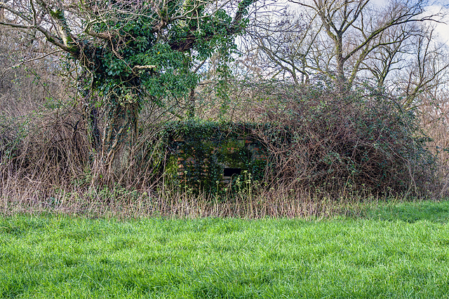
Hyde Clift Plantation, located in Dorset, England, is a picturesque wooded area renowned for its natural beauty and historical significance. Nestled within a vast forest, the plantation spans a sprawling expanse, offering visitors a tranquil retreat from the hustle and bustle of modern life.

The plantation boasts a diverse range of tree species, including oak, beech, and pine, which create a dense canopy and provide a haven for various wildlife. Walking through Hyde Clift Plantation, one can admire the towering trees, their branches interwoven to create a captivating tapestry of greenery. The forest floor is carpeted with vibrant wildflowers and ferns, adding to the enchanting atmosphere.

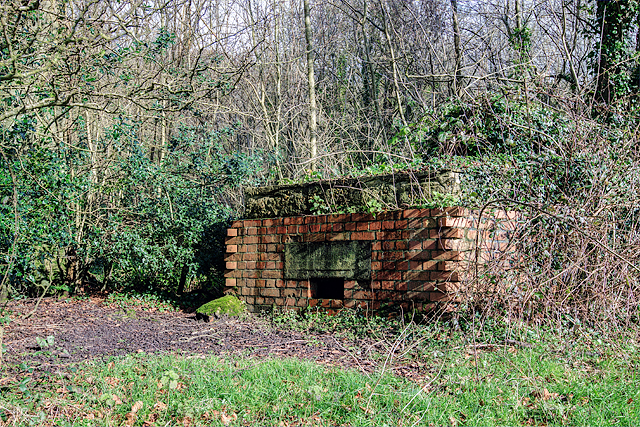
Steeped in history, Hyde Clift Plantation has roots dating back centuries. It is believed to have been initially established as a hunting ground for local nobility, with evidence of deer hunting and falconry in the area. Over time, it evolved into a functioning plantation, providing timber for construction and fuel. The remnants of old sawmills and charcoal pits can still be found, serving as a testament to the area's past industries.

Today, Hyde Clift Plantation is a popular destination for nature enthusiasts and hikers. Its well-maintained trails meander through the woods, offering stunning views and opportunities for birdwatching and wildlife spotting. The plantation is also an important habitat for several rare species, including the protected dormouse and the lesser-spotted woodpecker.

Visitors to Hyde Clift Plantation are encouraged to respect its natural surroundings and adhere to the designated paths to preserve the delicate ecosystem. With its rich history, diverse flora and fauna, and serene ambiance, Hyde Clift Plantation stands as a testament to the beauty and resilience of England's woodlands.

If you have any feedback on the listing, please let us know in the comments section below.

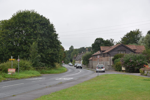
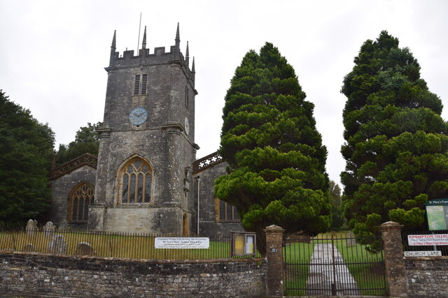
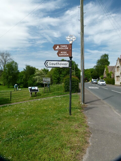
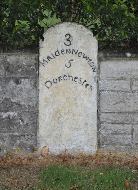
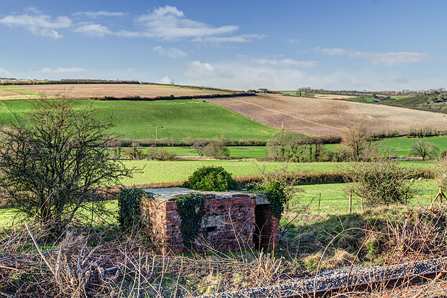
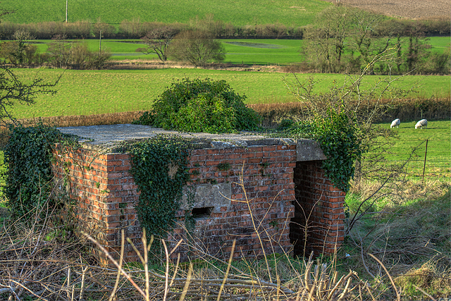
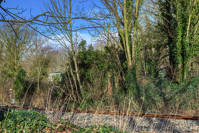
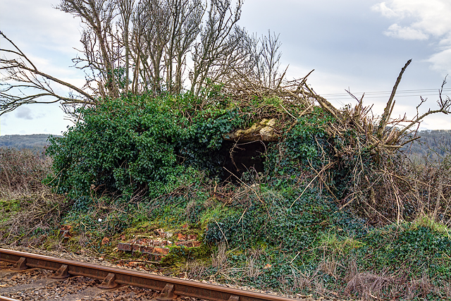
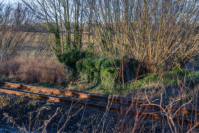
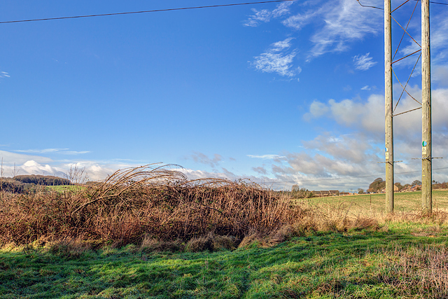
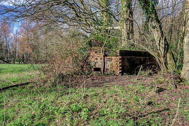
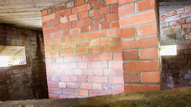
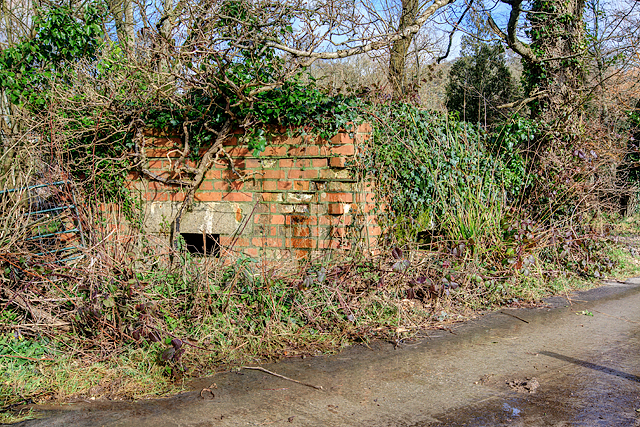
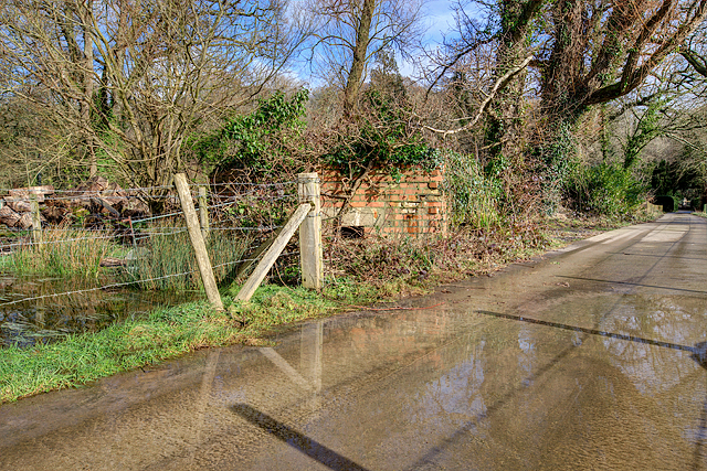
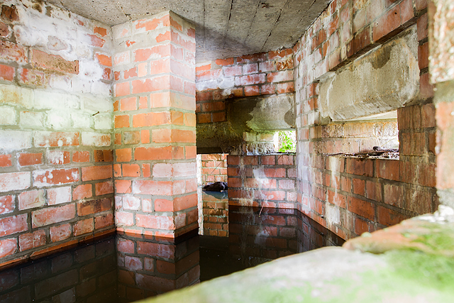
Hyde Clift Plantation Images

Images are sourced within 2km of 50.755168/-2.5389606 or Grid Reference SY6295. Thanks to Geograph Open Source API. All images are credited.

Frampton The A356 to Crewkerne heading west through the village.
Frampton
The A356 to Crewkerne heading west through the village.
St Mary's Frampton Taken at the end of Church Lane.
St Mary's Frampton
Taken at the end of Church Lane.
Direction Sign – Signpost on the A356 Dorchester Road in Frampton Located on the southwest side of the T junction of the A356 Dorchester Road and a minor road to Southover in Frampton parish. The annulus & bar finial has been reused from an older fingerpost. See also <a title="https://www.geograph.org.uk/photo/1785096" href="https://www.geograph.org.uk/photo/1785096">Link</a>.

Milestone Society National ID: DO_SY6295
Direction Sign – Signpost on the A356 Dorchester Road in Frampton
Located on the southwest side of the T junction of the A356 Dorchester Road and a minor road to Southover in Frampton parish. The annulus & bar finial has been reused from an older fingerpost. See also Link. Milestone Society National ID: DO_SY6295
Old Milestone by the A356, Frampton Carved stone post by the A356, in parish of FRAMPTON (WEST DORSET District), Frampton Road, 'Milestone', No. 4., Part of the wall, on North side of road. Dorset 3 (limestone), erected by the Maiden Newton turnpike trust in the 19th century.

Inscription reads:-
3
Maiden Newton
5
Dorchester

Milestone Society National ID: DO_MNDO03.
Old Milestone by the A356, Frampton
Carved stone post by the A356, in parish of FRAMPTON (WEST DORSET District), Frampton Road, 'Milestone', No. 4., Part of the wall, on North side of road. Dorset 3 (limestone), erected by the Maiden Newton turnpike trust in the 19th century. Inscription reads:- 3 Maiden Newton 5 Dorchester Milestone Society National ID: DO_MNDO03.
Defending Dorset in 1940: the Maiden Newton - Poole Harbour Stop Line (26) -
Pillbox (type FW3/22): DoB ID: S0000075

Cruxton - Lower Maiden Newton Farm - Type 22 Pillbox.  The Stop Line continues on its way towards Dorchester punctuated by more pillboxes. This type 22 is on the S side of the railway surrounded by the detritus of a business on an industrial site at Lower Maiden Newton Farm. It's of standard brick and concrete construction having protruding end bricks on the front elevation. Inside there is a protected entrance with a pistol port, the remains of a wooden shelf on the N wall, and also the usual anti-ricochet wall. With thanks to Richard Read for access.

<a href="https://www.geograph.org.uk/photo/4841935">SY6096 : Defending Dorset in 1940: the Maiden Newton - Poole Harbour Stop Line (27)</a>
Defending Dorset in 1940: the Maiden Newton - Poole Harbour Stop Line (26)
- Pillbox (type FW3/22): DoB ID: S0000075 Cruxton - Lower Maiden Newton Farm - Type 22 Pillbox. The Stop Line continues on its way towards Dorchester punctuated by more pillboxes. This type 22 is on the S side of the railway surrounded by the detritus of a business on an industrial site at Lower Maiden Newton Farm. It's of standard brick and concrete construction having protruding end bricks on the front elevation. Inside there is a protected entrance with a pistol port, the remains of a wooden shelf on the N wall, and also the usual anti-ricochet wall. With thanks to Richard Read for access. SY6096 : Defending Dorset in 1940: the Maiden Newton - Poole Harbour Stop Line (27)
Defending Dorset in 1940: the Maiden Newton - Poole Harbour Stop Line (27) -
Pillbox (type FW3/23): DoB ID: S0000074

Cruxton - Chalkhams Plantation - Type 23 Pillbox.  This pillbox is about 200 yards further down the line from the one at Lower Maiden Newton Farm. This is unfortunately on railway property, but whose exterior is visible from the opposite side of the railway embankment. It's of standard brick and concrete construction having 4 embrasures.

<a href="https://www.geograph.org.uk/photo/4841938">SY6096 : Defending Dorset in 1940: the Maiden Newton - Poole Harbour Stop Line (28)</a>
Defending Dorset in 1940: the Maiden Newton - Poole Harbour Stop Line (27)
- Pillbox (type FW3/23): DoB ID: S0000074 Cruxton - Chalkhams Plantation - Type 23 Pillbox. This pillbox is about 200 yards further down the line from the one at Lower Maiden Newton Farm. This is unfortunately on railway property, but whose exterior is visible from the opposite side of the railway embankment. It's of standard brick and concrete construction having 4 embrasures. SY6096 : Defending Dorset in 1940: the Maiden Newton - Poole Harbour Stop Line (28)
Defending Dorset in 1940: the Maiden Newton - Poole Harbour Stop Line (28) -
Pillbox (type FW3/23): DoB ID: S0000074

Cruxton - Chalkhams Plantation - Type 23 Pillbox. A telephoto view of this pillbox 200 yards further down the railway line from the one at Lower Maiden Newton Farm.

<a href="https://www.geograph.org.uk/photo/4841947">SY6195 : Defending Dorset in 1940: the Maiden Newton - Poole Harbour Stop Line (29)</a>
Defending Dorset in 1940: the Maiden Newton - Poole Harbour Stop Line (28)
- Pillbox (type FW3/23): DoB ID: S0000074 Cruxton - Chalkhams Plantation - Type 23 Pillbox. A telephoto view of this pillbox 200 yards further down the railway line from the one at Lower Maiden Newton Farm. SY6195 : Defending Dorset in 1940: the Maiden Newton - Poole Harbour Stop Line (29)
Defending Dorset in 1940: the Maiden Newton - Poole Harbour Stop Line (29) -
Pillbox (type FW3/23): S0003134

Notton - Crockway Farm - Type 23 Pillbox.  The Stop Line continues inexorably on its route eastwards along the railway with inevitably, yet another pillbox. This type 23 is on the railway crossing at Crockway Farm. Not that much is visible under all that vegetation, but it's of standard brick and concrete construction and has 4 embrasures.

<a href="https://www.geograph.org.uk/photo/4841951">SY6195 : Defending Dorset in 1940: the Maiden Newton - Poole Harbour Stop Line (30)</a>
Defending Dorset in 1940: the Maiden Newton - Poole Harbour Stop Line (29)
- Pillbox (type FW3/23): S0003134 Notton - Crockway Farm - Type 23 Pillbox. The Stop Line continues inexorably on its route eastwards along the railway with inevitably, yet another pillbox. This type 23 is on the railway crossing at Crockway Farm. Not that much is visible under all that vegetation, but it's of standard brick and concrete construction and has 4 embrasures. SY6195 : Defending Dorset in 1940: the Maiden Newton - Poole Harbour Stop Line (30)
Defending Dorset in 1940: the Maiden Newton - Poole Harbour Stop Line (30) -
Pillbox (type FW3/22): DoB ID: S0000073

Notton - FP Level Crossing - Type 22 Pillbox.  At the public FP level crossing over the railway is a half-destroyed type 22 pillbox that was deemed to have restricted pedestrian visibility at the crossing, and so the offending portion (the front) was removed! It would appear that the rapidly encroaching vegetation will soon restore the former status quo.

<a href="https://www.geograph.org.uk/photo/4841960">SY6295 : Defending Dorset in 1940: the Maiden Newton - Poole Harbour Stop Line (31)</a>
Defending Dorset in 1940: the Maiden Newton - Poole Harbour Stop Line (30)
- Pillbox (type FW3/22): DoB ID: S0000073 Notton - FP Level Crossing - Type 22 Pillbox. At the public FP level crossing over the railway is a half-destroyed type 22 pillbox that was deemed to have restricted pedestrian visibility at the crossing, and so the offending portion (the front) was removed! It would appear that the rapidly encroaching vegetation will soon restore the former status quo. SY6295 : Defending Dorset in 1940: the Maiden Newton - Poole Harbour Stop Line (31)
Defending Dorset in 1940: the Maiden Newton - Poole Harbour Stop Line (31) -
Pillbox (type FW3/23): DoB ID: S0000043

Frampton - Church Lane - Type 23 Pillbox.  On the north side of the railway embankment under all that ivy is a type 23 pillbox of brick and concrete. Also, about 200 yards away in the wood close to the railway bridge is a former ammunition store, a roofless shell of a Nissen hut that like its neighbour, has now completely disappeared under vegetation.

<a href="https://www.geograph.org.uk/photo/4841966">SY6394 : Defending Dorset in 1940: the Maiden Newton - Poole Harbour Stop Line (32)</a>
Defending Dorset in 1940: the Maiden Newton - Poole Harbour Stop Line (31)
- Pillbox (type FW3/23): DoB ID: S0000043 Frampton - Church Lane - Type 23 Pillbox. On the north side of the railway embankment under all that ivy is a type 23 pillbox of brick and concrete. Also, about 200 yards away in the wood close to the railway bridge is a former ammunition store, a roofless shell of a Nissen hut that like its neighbour, has now completely disappeared under vegetation. SY6394 : Defending Dorset in 1940: the Maiden Newton - Poole Harbour Stop Line (32)
Defending Dorset in 1940: the Maiden Newton - Poole Harbour Stop Line (32) -
Pillbox (type FW3/22): DoB ID: S0000072

Frampton - Tunnel House - Site of Type 22 Pillbox.  According to records almost 20 years ago there was a pillbox here that even at that time was only in 'fair' condition. The site is on farm land on an escarpment just to the northeast of the village, and overlooks the railway tunnel entrance. Nothing survives today other than fragments of the concrete roof, and the odd brick, the remainder lies buried under a soil heap covered by brambles. With thanks to Tunnel House for access.

<a href="https://www.geograph.org.uk/photo/4841973">SY6394 : Defending Dorset in 1940: the Maiden Newton - Poole Harbour Stop Line (33)</a>
Defending Dorset in 1940: the Maiden Newton - Poole Harbour Stop Line (32)
- Pillbox (type FW3/22): DoB ID: S0000072 Frampton - Tunnel House - Site of Type 22 Pillbox. According to records almost 20 years ago there was a pillbox here that even at that time was only in 'fair' condition. The site is on farm land on an escarpment just to the northeast of the village, and overlooks the railway tunnel entrance. Nothing survives today other than fragments of the concrete roof, and the odd brick, the remainder lies buried under a soil heap covered by brambles. With thanks to Tunnel House for access. SY6394 : Defending Dorset in 1940: the Maiden Newton - Poole Harbour Stop Line (33)
Defending Dorset in 1940: the Maiden Newton - Poole Harbour Stop Line (33) -
Pillbox (type FW3/22): DoB ID: S0000071

Frampton - Frampton Park (Peacock Plantation) - Type 22 Pillbox.  The first of three such pillboxes all built practically within sight of each other in the Park (there were once four!). Quite why so many in such a comparatively small area is unknown. This one is of standard construction of brick and concrete having 5 main embrasures, and a small pistol port at the entrance. Its location is in woodland in Frampton Park, close to the main A356 on the south edge of Peacock Plantation. It is assumed they were built to cover the open ground between the A356 road to the north, and the River Frome to the south. Of the four, three survive, the fourth was demolished during modern improvements to the A356/A37 road junction.

<a href="https://www.geograph.org.uk/photo/4841982">SY6394 : Defending Dorset in 1940: the Maiden Newton - Poole Harbour Stop Line (34)</a>
Defending Dorset in 1940: the Maiden Newton - Poole Harbour Stop Line (33)
- Pillbox (type FW3/22): DoB ID: S0000071 Frampton - Frampton Park (Peacock Plantation) - Type 22 Pillbox. The first of three such pillboxes all built practically within sight of each other in the Park (there were once four!). Quite why so many in such a comparatively small area is unknown. This one is of standard construction of brick and concrete having 5 main embrasures, and a small pistol port at the entrance. Its location is in woodland in Frampton Park, close to the main A356 on the south edge of Peacock Plantation. It is assumed they were built to cover the open ground between the A356 road to the north, and the River Frome to the south. Of the four, three survive, the fourth was demolished during modern improvements to the A356/A37 road junction. SY6394 : Defending Dorset in 1940: the Maiden Newton - Poole Harbour Stop Line (34)
Defending Dorset in 1940: the Maiden Newton - Poole Harbour Stop Line (34) -
Pillbox (type FW3/22): DoB ID: S0000071

Frampton - Frampton Park (Peacock Plantation) - Type 22 Pillbox.  A view of the opposite side of the pillbox in Frampton Park that lies close to the A356 in woodland on the south edge of Peacock Plantation.

<a href="https://www.geograph.org.uk/photo/4841988">SY6394 : Defending Dorset in 1940: the Maiden Newton - Poole Harbour Stop Line (35)</a>
Defending Dorset in 1940: the Maiden Newton - Poole Harbour Stop Line (34)
- Pillbox (type FW3/22): DoB ID: S0000071 Frampton - Frampton Park (Peacock Plantation) - Type 22 Pillbox. A view of the opposite side of the pillbox in Frampton Park that lies close to the A356 in woodland on the south edge of Peacock Plantation. SY6394 : Defending Dorset in 1940: the Maiden Newton - Poole Harbour Stop Line (35)
Defending Dorset in 1940: the Maiden Newton - Poole Harbour Stop Line (35) -
Pillbox (type FW3/22): DoB ID: S0000071

Frampton - Frampton Park (Peacock Plantation) - Type 22 Pillbox.  Interior view of the pillbox near the A356 in Frampton Park, looking in from the outside through an embrasure. The T plan blast wall is evident here in the immediate foreground.

<a href="https://www.geograph.org.uk/photo/4841994">SY6394 : Defending Dorset in 1940: the Maiden Newton - Poole Harbour Stop Line (36)</a>
Defending Dorset in 1940: the Maiden Newton - Poole Harbour Stop Line (35)
- Pillbox (type FW3/22): DoB ID: S0000071 Frampton - Frampton Park (Peacock Plantation) - Type 22 Pillbox. Interior view of the pillbox near the A356 in Frampton Park, looking in from the outside through an embrasure. The T plan blast wall is evident here in the immediate foreground. SY6394 : Defending Dorset in 1940: the Maiden Newton - Poole Harbour Stop Line (36)
Defending Dorset in 1940: the Maiden Newton - Poole Harbour Stop Line (36) -
Pillbox (type FW3/22): DoB ID: S0000070

Frampton - Frampton Park FP - Type 22 Pillbox.  The second of the three pillboxes in Frampton Park, this one sits on the public FP south of Peacock Lodge, and is also of standard construction of brick and concrete, with 5 embrasures, and a pistol port that covers the entrance.

<a href="https://www.geograph.org.uk/photo/4841998">SY6394 : Defending Dorset in 1940: the Maiden Newton - Poole Harbour Stop Line (37)</a>
Defending Dorset in 1940: the Maiden Newton - Poole Harbour Stop Line (36)
- Pillbox (type FW3/22): DoB ID: S0000070 Frampton - Frampton Park FP - Type 22 Pillbox. The second of the three pillboxes in Frampton Park, this one sits on the public FP south of Peacock Lodge, and is also of standard construction of brick and concrete, with 5 embrasures, and a pistol port that covers the entrance. SY6394 : Defending Dorset in 1940: the Maiden Newton - Poole Harbour Stop Line (37)
Defending Dorset in 1940: the Maiden Newton - Poole Harbour Stop Line (37) -
Pillbox (type FW3/22): DoB ID: S0000070

Frampton - Frampton Park FP - Type 22 Pillbox.  Overlooking meadows alongside the public FP in the Park, south of Peacock Lodge.

<a href="https://www.geograph.org.uk/photo/4842004">SY6394 : Defending Dorset in 1940: the Maiden Newton - Poole Harbour Stop Line (38)</a>
Defending Dorset in 1940: the Maiden Newton - Poole Harbour Stop Line (37)
- Pillbox (type FW3/22): DoB ID: S0000070 Frampton - Frampton Park FP - Type 22 Pillbox. Overlooking meadows alongside the public FP in the Park, south of Peacock Lodge. SY6394 : Defending Dorset in 1940: the Maiden Newton - Poole Harbour Stop Line (38)
Defending Dorset in 1940: the Maiden Newton - Poole Harbour Stop Line (38) -
Pillbox (type FW3/22): DoB ID: S0000070

Frampton - Frampton Park FP - Type 22 Pillbox.  Interior view from one of the 5 main embrasures. Flooding to a considerable depth inside is evident. This pillbox in Frampton Park overlooks meadows alongside the public FP south of Peacock Lodge.

<a href="https://www.geograph.org.uk/photo/4842008">SY6394 : Defending Dorset in 1940: the Maiden Newton - Poole Harbour Stop Line (39)</a>
Defending Dorset in 1940: the Maiden Newton - Poole Harbour Stop Line (38)
- Pillbox (type FW3/22): DoB ID: S0000070 Frampton - Frampton Park FP - Type 22 Pillbox. Interior view from one of the 5 main embrasures. Flooding to a considerable depth inside is evident. This pillbox in Frampton Park overlooks meadows alongside the public FP south of Peacock Lodge. SY6394 : Defending Dorset in 1940: the Maiden Newton - Poole Harbour Stop Line (39)
Defending Dorset in 1940: the Maiden Newton - Poole Harbour Stop Line (39) -
Pillbox (type FW3/22): DoB ID: S0000077

Frampton - Frampton Park Weir - Type 22 Pillbox.  The third pillbox in Frampton Park, this is the most southerly overlooking a weir on the Frome. Just like the others, it's of standard brick and concrete, with 5 embrasures and a pistol port at the entrance. Flood water currently hides a 30 in. drop from the entrance step into the interior. Beware!

<a href="https://www.geograph.org.uk/photo/4842011">SY6394 : Defending Dorset in 1940: the Maiden Newton - Poole Harbour Stop Line (40)</a>
Defending Dorset in 1940: the Maiden Newton - Poole Harbour Stop Line (39)
- Pillbox (type FW3/22): DoB ID: S0000077 Frampton - Frampton Park Weir - Type 22 Pillbox. The third pillbox in Frampton Park, this is the most southerly overlooking a weir on the Frome. Just like the others, it's of standard brick and concrete, with 5 embrasures and a pistol port at the entrance. Flood water currently hides a 30 in. drop from the entrance step into the interior. Beware! SY6394 : Defending Dorset in 1940: the Maiden Newton - Poole Harbour Stop Line (40)
Show me another place!

Hyde Clift Plantation is located at Grid Ref: SY6295 (Lat: 50.755168, Lng: -2.5389606)

Unitary Authority: Dorset

Police Authority: Dorset

What 3 Words

///entitles.laces.rounds. Near Maiden Newton, Dorset

Related Wikis

Nunnery Mead

Nunnery Mead is a nature reserve of the Dorset Wildlife Trust, near Frampton and about 2 miles south-east of Maiden Newton, in Dorset, England. It is a...

Frampton, Dorset

Frampton is a village and civil parish in the county of Dorset in southern England, situated approximately 5 miles (8.0 km) northwest of the county town...

Frampton (liberty)

Frampton Liberty was a liberty in the county of Dorset, England, which contained the following parishes: Bettiscombe Bincombe Burton Bradstock Compton...

Frampton Priory

Frampton Priory was a Benedictine priory in England, near the village of Frampton in Dorset and mentioned in the Domesday Book. The priory was subordinate...
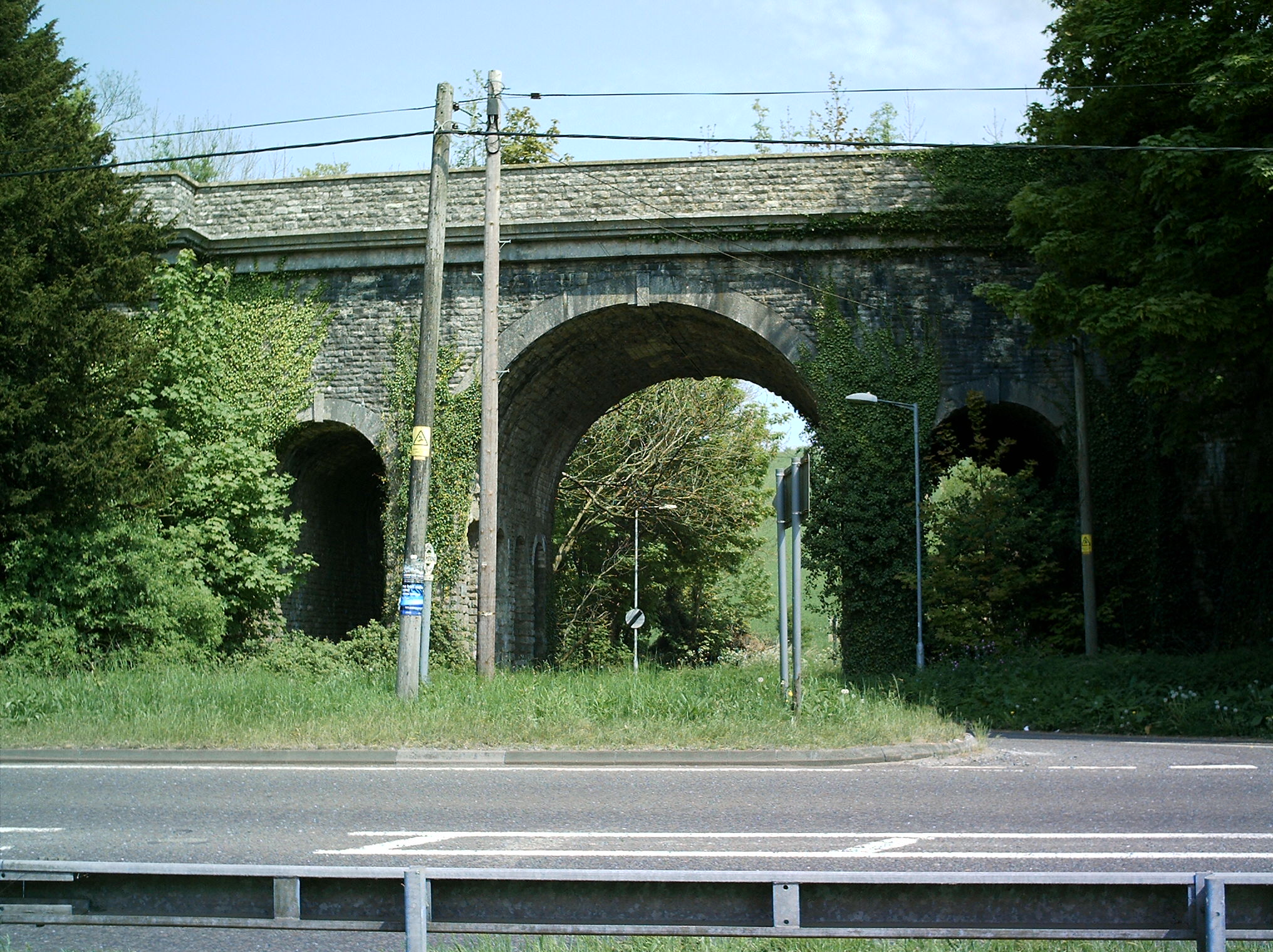
Grimstone Viaduct

The Grimstone Viaduct is a railway bridge on the Castle Cary-Weymouth "Heart of Wessex" line in Dorset, England. It is directly north of the site of Grimstone...

Grimstone and Frampton railway station

Grimstone and Frampton railway station was a station on the Wiltshire, Somerset & Weymouth Railway, part of the Great Western Railway between Maiden Newton...

Cruxton

Cruxton is a hamlet in the English county of Dorset. It lies eight miles north-west of the county town of Dorchester, and one mile south-east of the village...

Hog Cliff

Hog Cliff is a national nature reserve (NNR) and Site of Special Scientific Interest (SSSI) located 2 kilometres (1.2 mi) south east of Maiden Newton,...

Nearby Amenities

Located within 500m of 50.755168,-2.5389606
Frampton
Is In: Dorset, England, UK
Place: village
Lat/Long: 50.7545259/-2.532456
Material: wood
Power: pole
Source: bing
Lat/Long: 50.7519175/-2.5427992
Material: wood
Power: pole
Source: bing
Lat/Long: 50.7530029/-2.5431665
Material: wood
Power: pole
Source: bing
Lat/Long: 50.7537532/-2.5434358
Material: wood
Power: pole
Source: bing
Lat/Long: 50.7547175/-2.5437744
Material: wood
Power: pole
Source: bing
Lat/Long: 50.7555444/-2.5320121
Material: wood
Power: pole
Source: bing
Lat/Long: 50.7556664/-2.5441067
Material: wood
Power: pole
Source: bing
Lat/Long: 50.7559257/-2.5328708
Material: wood
Power: pole
Source: bing
Lat/Long: 50.7564622/-2.5340601
Material: wood
Power: pole
Source: bing
Lat/Long: 50.7566274/-2.5444454
Material: wood
Power: pole
Source: bing
Lat/Long: 50.7570022/-2.5351936
Material: wood
Power: pole
Source: bing
Lat/Long: 50.7574208/-2.5446109
Material: wood
Power: pole
Source: bing
Lat/Long: 50.7575283/-2.5363757
Material: wood
Power: pole
Source: bing
Lat/Long: 50.7578356/-2.5372617
Material: wood
Power: pole
Source: bing
Lat/Long: 50.758181/-2.534352
Material: wood
Power: pole
Source: bing
Lat/Long: 50.7582159/-2.5342497
Material: wood
Power: pole
Source: bing
Lat/Long: 50.7582159/-2.5383502
Material: wood
Power: pole
Source: bing
Lat/Long: 50.758593/-2.5394655
Material: wood
Power: pole
Source: bing
Lat/Long: 50.7587098/-2.5359949
Material: wood
Power: pole
Source: bing
Lat/Long: 50.7587504/-2.5358707
Material: wood
Power: pole
Source: bing
Lat/Long: 50.7589726/-2.5405835
Material: wood
Power: pole
Source: bing
Lat/Long: 50.7593292/-2.5416604
Direction: 300
Generator Method: photovoltaic
Generator Output Electricity: yes
Generator Solar Modules: 20
Generator Source: solar
Generator Type: solar_photovoltaic_panel
Location: roof
Power: generator
Lat/Long: 50.7545896/-2.5355281
Direction: SSW
Generator Method: photovoltaic
Generator Output Electricity: yes
Generator Solar Modules: 14
Generator Source: solar
Generator Type: solar_photovoltaic_panel
Location: roof
Power: generator
Lat/Long: 50.7548662/-2.5354322
Direction: 210
Generator Method: photovoltaic
Generator Output Electricity: yes
Generator Solar Modules: 14
Generator Source: solar
Generator Type: solar_photovoltaic_panel
Location: roof
Power: generator
Lat/Long: 50.7561085/-2.540917
Direction: 215
Generator Method: photovoltaic
Generator Output Electricity: yes
Generator Solar Modules: 16
Generator Source: solar
Generator Type: solar_photovoltaic_panel
Location: roof
Power: generator
Lat/Long: 50.7529737/-2.5422909
Direction: 215
Generator Method: photovoltaic
Generator Output Electricity: yes
Generator Solar Modules: 10
Generator Source: solar
Generator Type: solar_photovoltaic_panel
Location: roof
Power: generator
Lat/Long: 50.7530166/-2.5423858
Direction: SSW
Generator Method: photovoltaic
Generator Output Electricity: yes
Generator Solar Modules: 10
Generator Source: solar
Generator Type: solar_photovoltaic_panel
Location: roof
Power: generator
Lat/Long: 50.7525185/-2.5408583
Direction: SSE
Generator Method: photovoltaic
Generator Output Electricity: yes
Generator Solar Modules: 28
Generator Source: solar
Generator Type: solar_photovoltaic_panel
Location: roof
Power: generator
Lat/Long: 50.7517943/-2.5365255
Ford: yes
Lat/Long: 50.754295/-2.541049
The data included in this document is from www.openstreetmap.org. The data is made available under ODbL.

Have you been to Hyde Clift Plantation?

Leave your review of Hyde Clift Plantation below (or comments, questions and feedback).