Clay Pit Plantation
Wood, Forest in Dorset
England
Clay Pit Plantation
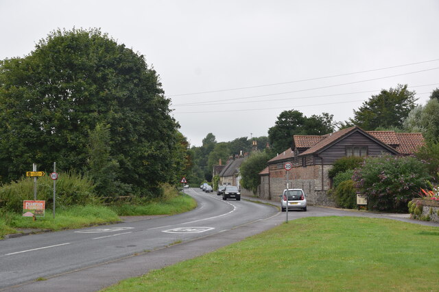
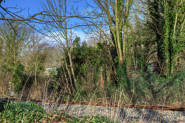
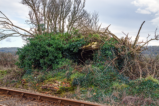
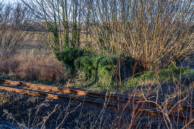
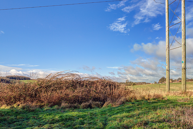
Clay Pit Plantation is a picturesque woodland located in Dorset, England. Spanning over a vast area, this plantation is known for its rich clay soil and dense forest cover. The woodland is situated amidst the beautiful countryside of Dorset, offering visitors a serene and tranquil escape from urban life.
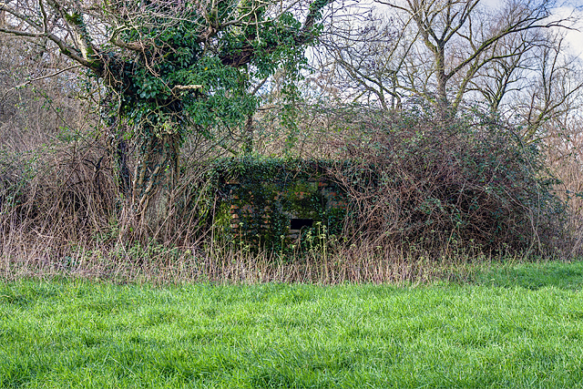
The plantation is predominantly covered with tall, majestic oak trees that create a lush green canopy. These trees provide a habitat for a diverse range of flora and fauna, making it a popular spot for nature enthusiasts and bird watchers. The forest floor is carpeted with wildflowers and ferns, adding to the enchanting beauty of the area.
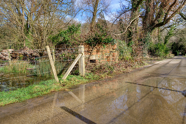
Clay Pit Plantation is also known for its extensive network of walking trails and footpaths. These trails offer visitors the opportunity to explore the woodland at their own pace, immersing themselves in the natural surroundings. The plantation is particularly famous for its circular walking route, which takes visitors through some of the most scenic parts of the woodland.
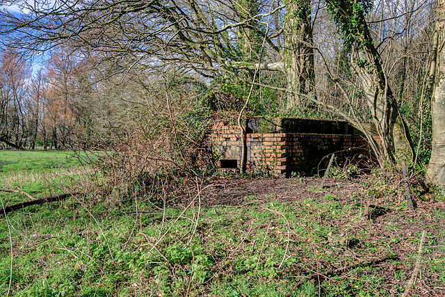
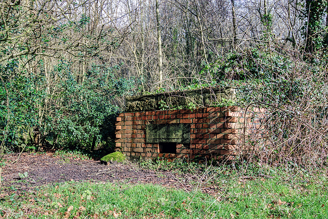
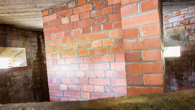
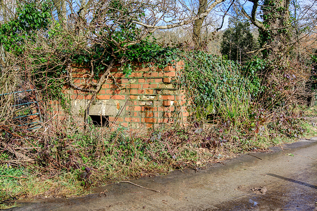
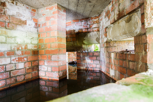
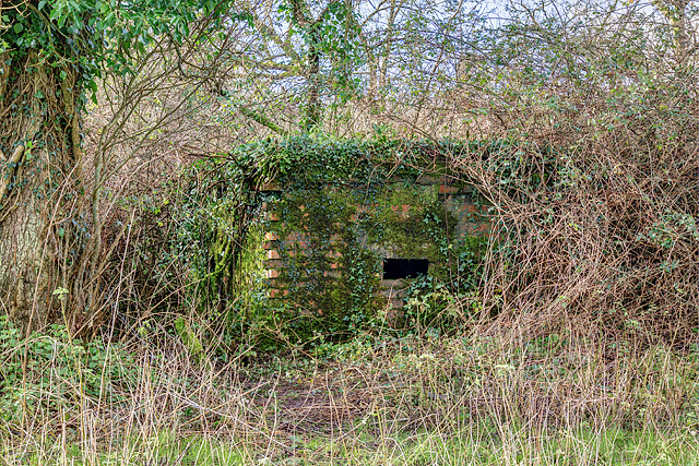
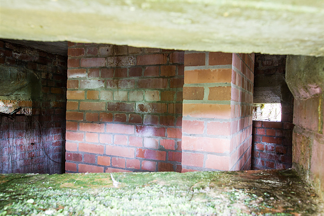
In addition to its natural beauty, Clay Pit Plantation also holds historical significance. The woodland was once used as a clay pit, where locals extracted clay for various purposes. Today, remnants of the clay extraction can still be seen in certain parts of the plantation, providing a glimpse into its industrial past.
Overall, Clay Pit Plantation in Dorset offers a perfect blend of natural beauty, historical charm, and recreational opportunities. Whether one is looking for a peaceful walk, a chance to spot wildlife, or simply a place to relax and unwind, this woodland is a must-visit destination for nature lovers and outdoor enthusiasts.
If you have any feedback on the listing, please let us know in the comments section below.
Clay Pit Plantation Images
Images are sourced within 2km of 50.762192/-2.5268619 or Grid Reference SY6295. Thanks to Geograph Open Source API. All images are credited.
Clay Pit Plantation is located at Grid Ref: SY6295 (Lat: 50.762192, Lng: -2.5268619)
Unitary Authority: Dorset
Police Authority: Dorset
What 3 Words
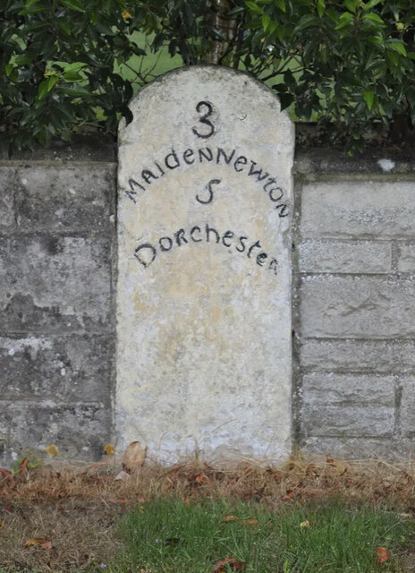
///curvy.hats.broadcast. Near Maiden Newton, Dorset
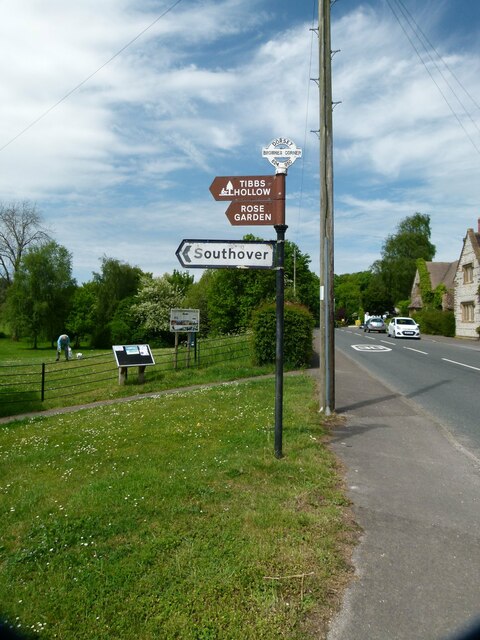
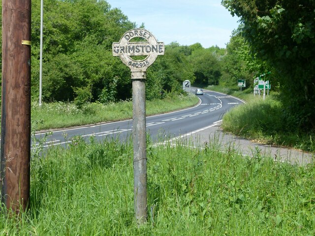
Nearby Locations
Related Wikis

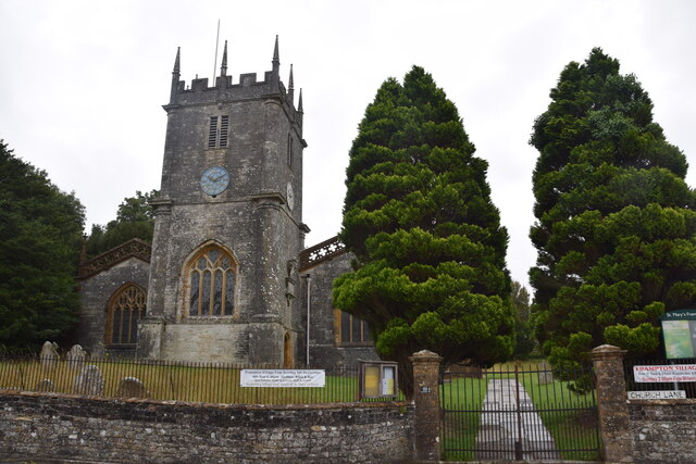
Frampton Priory
Frampton Priory was a Benedictine priory in England, near the village of Frampton in Dorset and mentioned in the Domesday Book. The priory was subordinate...
Frampton (liberty)
Frampton Liberty was a liberty in the county of Dorset, England, which contained the following parishes: Bettiscombe Bincombe Burton Bradstock Compton...

Frampton, Dorset
Frampton is a village and civil parish in the county of Dorset in southern England, situated approximately 5 miles (8.0 km) northwest of the county town...
Nunnery Mead
Nunnery Mead is a nature reserve of the Dorset Wildlife Trust, near Frampton and about 2 miles south-east of Maiden Newton, in Dorset, England. It is a...
Nearby Amenities
Located within 500m of 50.762192,-2.5268619Have you been to Clay Pit Plantation?
Leave your review of Clay Pit Plantation below (or comments, questions and feedback).