Coler's Plantation
Wood, Forest in Dorset
England
Coler's Plantation
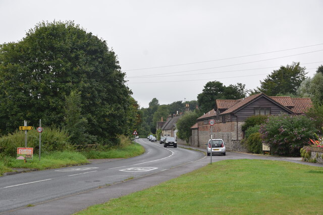
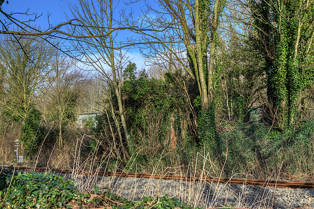
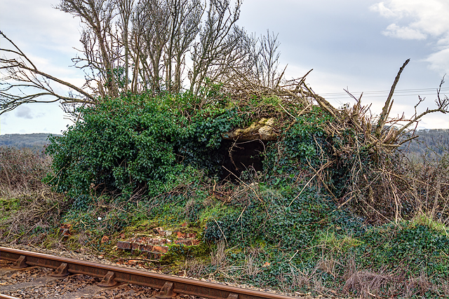
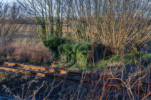
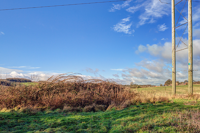
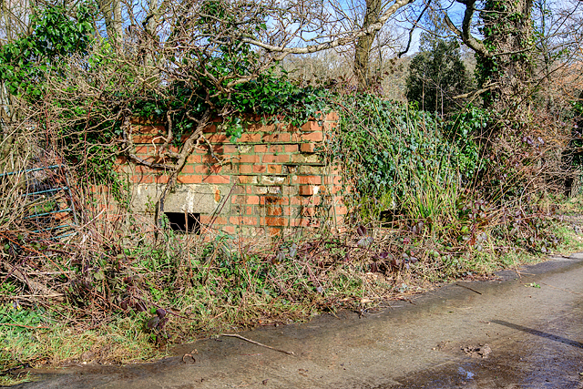
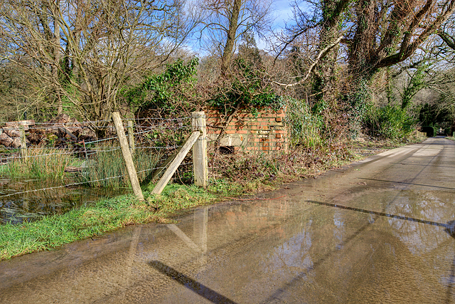
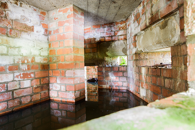
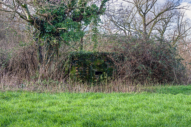
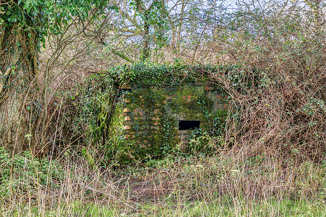
Coler's Plantation is a well-known woodland area located in the county of Dorset, England. Situated within the larger expanse of the Dorset Forest, this plantation encompasses a vast area of ancient woodland, characterized by its diverse range of tree species and rich wildlife.
The plantation is predominantly composed of native deciduous trees, including oak, beech, and ash, which thrive in the fertile soils of the region. The dense canopy formed by these towering trees creates a tranquil and shaded environment, making it a popular spot for nature enthusiasts, hikers, and photographers.
Visitors to Coler's Plantation are often captivated by the beauty and serenity of the surroundings. The woodland floor is covered in a carpet of vibrant wildflowers, such as bluebells and primroses, which bloom during the spring months, adding bursts of color to the landscape.
The plantation is home to a diverse range of wildlife, with numerous bird species, including woodpeckers, owls, and warblers, making their nests among the branches. Squirrels, deer, and foxes are also commonly spotted within the woodland, adding to the area's natural allure.
The plantation offers a variety of walking trails and paths, allowing visitors to explore the woodland at their own pace. These routes meander through the trees, offering glimpses of picturesque views and providing ample opportunities for birdwatching and photography.
Overall, Coler's Plantation is a haven of natural beauty in Dorset, offering visitors a chance to immerse themselves in the tranquility of ancient woodland and discover the diverse flora and fauna that call this area home.
If you have any feedback on the listing, please let us know in the comments section below.
Coler's Plantation Images
Images are sourced within 2km of 50.756051/-2.5305923 or Grid Reference SY6295. Thanks to Geograph Open Source API. All images are credited.
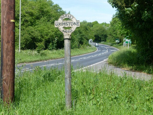
Coler's Plantation is located at Grid Ref: SY6295 (Lat: 50.756051, Lng: -2.5305923)
Unitary Authority: Dorset
Police Authority: Dorset
What 3 Words
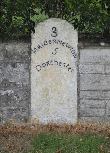
///steadily.disbanded.moons. Near Maiden Newton, Dorset
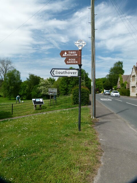
Nearby Locations
Related Wikis

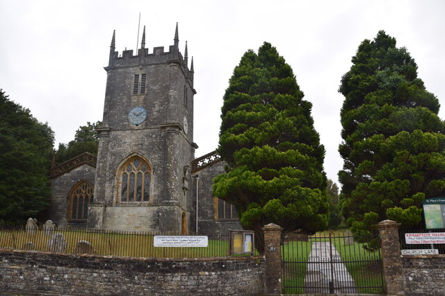
Frampton Priory
Frampton Priory was a Benedictine priory in England, near the village of Frampton in Dorset and mentioned in the Domesday Book. The priory was subordinate...
Frampton (liberty)
Frampton Liberty was a liberty in the county of Dorset, England, which contained the following parishes: Bettiscombe Bincombe Burton Bradstock Compton...

Frampton, Dorset
Frampton is a village and civil parish in the county of Dorset in southern England, situated approximately 5 miles (8.0 km) northwest of the county town...
Nunnery Mead
Nunnery Mead is a nature reserve of the Dorset Wildlife Trust, near Frampton and about 2 miles south-east of Maiden Newton, in Dorset, England. It is a...
Related Videos

Fitness Retreats for Over 40s 50s Weekends in 2024 Health Luxury Holiday Breaks in Devon/Dorset UK
fitnessretreatsover40 #fitnessretreatsover50 #fitnessretreatsuk https://www.fitagainretreats.com/booking/ Safe, secure payment for ...
Nearby Amenities
Located within 500m of 50.756051,-2.5305923Have you been to Coler's Plantation?
Leave your review of Coler's Plantation below (or comments, questions and feedback).