Great Hall Wood

Wood, Forest in Kent Canterbury

England

Great Hall Wood

Broad Oak (Canterbury) Village Sign Village sign
Broad Oak (Canterbury) Village Sign Credit: Paul

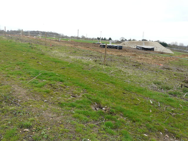
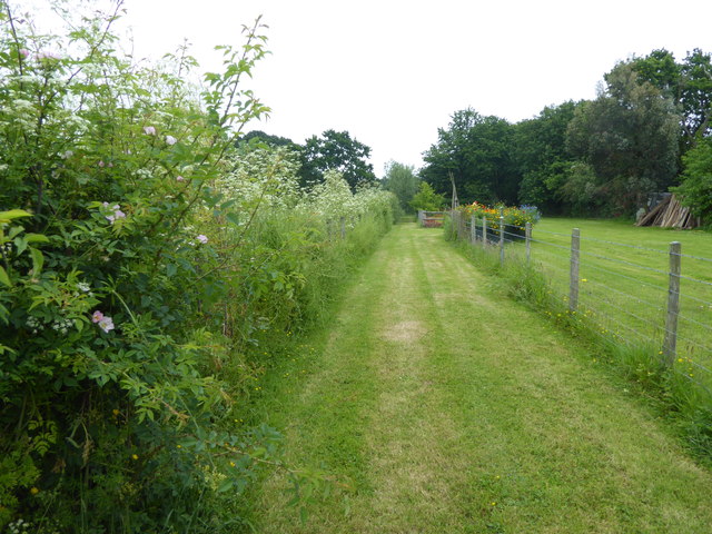
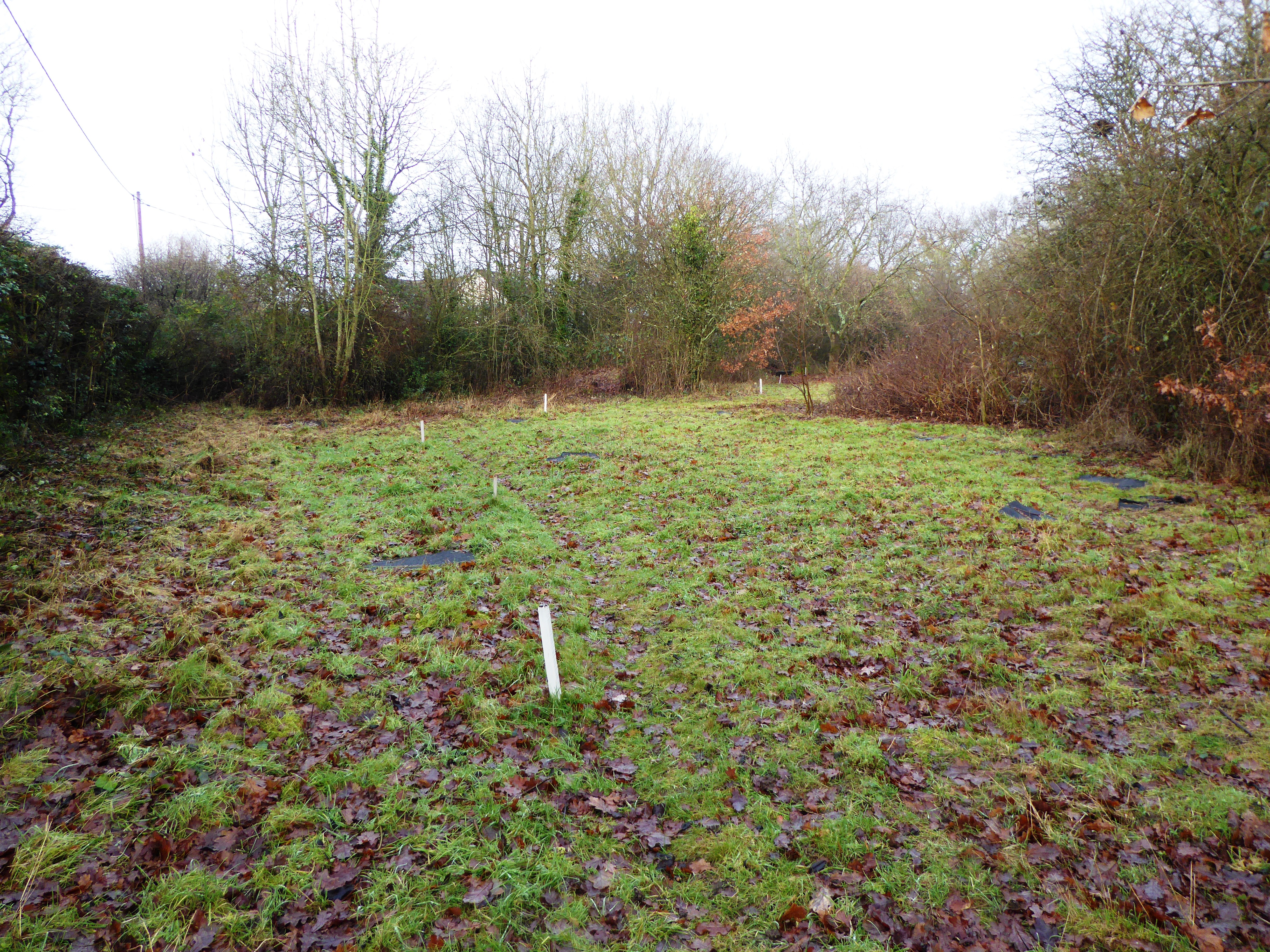
Great Hall Wood is a picturesque woodland situated in the county of Kent, England. Covering an area of approximately 100 acres, it is located near the village of Ashford, amidst the rolling countryside of the Kent Downs. The wood is a designated Site of Special Scientific Interest (SSSI) due to its rich biodiversity and historical significance.

The woodland is predominantly composed of native broadleaf trees, including oak, ash, beech, and chestnut, creating a diverse and vibrant ecosystem. It boasts a dense canopy, allowing only dappled sunlight to filter through, creating a serene and tranquil atmosphere. The forest floor is covered in a thick layer of leaf litter, providing a habitat for an array of flora and fauna.

Great Hall Wood is home to a variety of wildlife, including deer, badgers, foxes, and numerous bird species. The wood is particularly renowned for its population of nightingales, whose melodious songs fill the air during the breeding season. It is also a popular spot for birdwatching enthusiasts, offering opportunities to see species such as woodpeckers, owls, and various woodland songbirds.

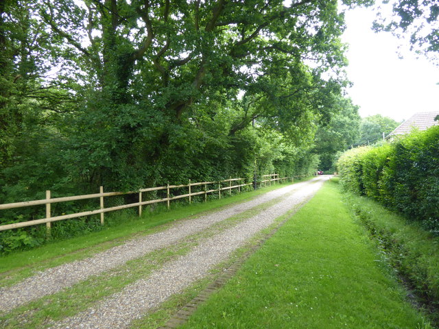
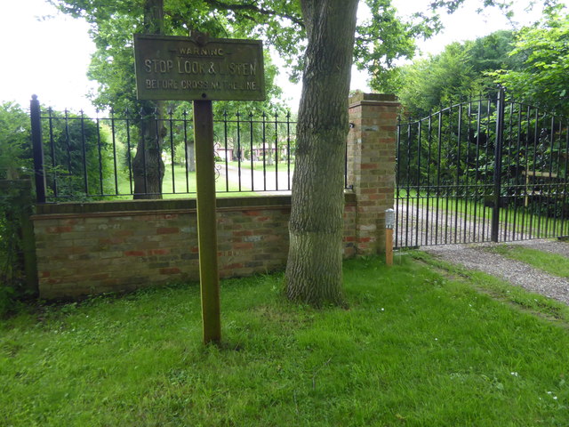
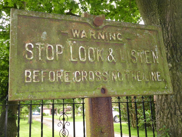
The wood has a rich history, with evidence of human activity dating back to the Bronze Age. The remnants of ancient earthworks and burial mounds can be found within its boundaries, providing a glimpse into the area's past. Today, Great Hall Wood is managed by a local conservation organization, ensuring its preservation and protection for future generations to enjoy. Visitors can explore the wood through a network of well-maintained footpaths, offering a chance to immerse themselves in the natural beauty and tranquility of this enchanting woodland.

If you have any feedback on the listing, please let us know in the comments section below.

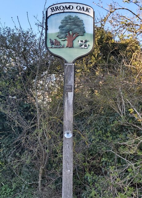
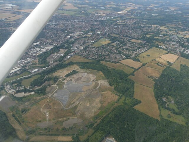
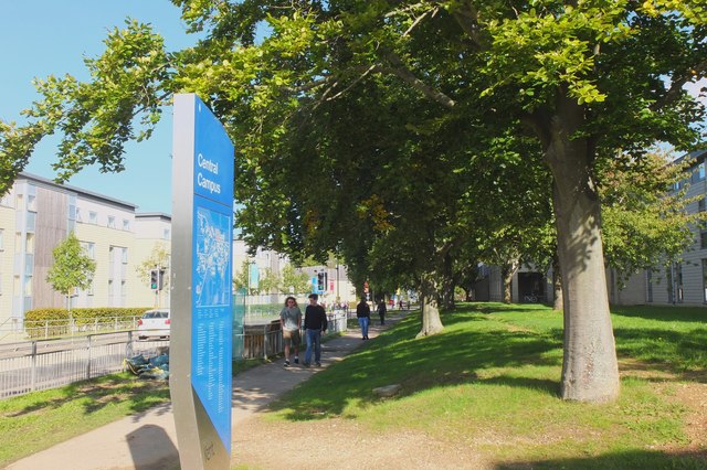
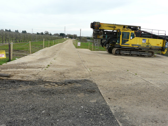
Great Hall Wood Images

Images are sourced within 2km of 51.307909/1.077889 or Grid Reference TR1461. Thanks to Geograph Open Source API. All images are credited.

Broad Oak (Canterbury) Village Sign Village sign
Broad Oak (Canterbury) Village Sign
Village sign
Barton Down, NE of Canterbury: aerial 2022
University of Kent at Canterbury A road on the northern side of the campus site.
University of Kent at Canterbury
A road on the northern side of the campus site.
View from a footpath through Goose Farm A temporary road has been laid to enable heavy machinery to gain access to the Richborough Connection Project <span class="nowrap"><a title="http://richboroughconnection.co.uk/" rel="nofollow ugc noopener" href="http://richboroughconnection.co.uk/">Link</a><img style="margin-left:2px;" alt="External link" title="External link - shift click to open in new window" src="https://s1.geograph.org.uk/img/external.png" width="10" height="10"/></span> This is a proposed 400kV electricity transmission connection between Richborough and Canterbury in Kent to connect the proposed new UK to Belgium interconnector (known as the Nemo Link)
<span class="nowrap"><a title="https://infrastructure.planninginspectorate.gov.uk/projects/south-east/richborough-connection-project/" rel="nofollow ugc noopener" href="https://infrastructure.planninginspectorate.gov.uk/projects/south-east/richborough-connection-project/">Link</a><img style="margin-left:2px;" alt="External link" title="External link - shift click to open in new window" src="https://s1.geograph.org.uk/img/external.png" width="10" height="10"/></span>

This <a href="https://www.geograph.org.uk/photo/5761137">TR1661 : View from a footpath through Goose Farm</a> is looking north-northwest.
View from a footpath through Goose Farm
A temporary road has been laid to enable heavy machinery to gain access to the Richborough Connection Project LinkExternal link This is a proposed 400kV electricity transmission connection between Richborough and Canterbury in Kent to connect the proposed new UK to Belgium interconnector (known as the Nemo Link) LinkExternal link This TR1661 : View from a footpath through Goose Farm is looking north-northwest.
View from a footpath through Goose Farm A temporary road has been laid to enable heavy machinery to gain access to the Richborough Connection Project <span class="nowrap"><a title="http://richboroughconnection.co.uk/" rel="nofollow ugc noopener" href="http://richboroughconnection.co.uk/">Link</a><img style="margin-left:2px;" alt="External link" title="External link - shift click to open in new window" src="https://s1.geograph.org.uk/img/external.png" width="10" height="10"/></span> This is a proposed 400kV electricity transmission connection between Richborough and Canterbury in Kent to connect the proposed new UK to Belgium interconnector (known as the Nemo Link)
<span class="nowrap"><a title="https://infrastructure.planninginspectorate.gov.uk/projects/south-east/richborough-connection-project/" rel="nofollow ugc noopener" href="https://infrastructure.planninginspectorate.gov.uk/projects/south-east/richborough-connection-project/">Link</a><img style="margin-left:2px;" alt="External link" title="External link - shift click to open in new window" src="https://s1.geograph.org.uk/img/external.png" width="10" height="10"/></span> 

This <a href="https://www.geograph.org.uk/photo/5761127">TR1661 : View from a footpath through Goose Farm</a> is looking southeast.
View from a footpath through Goose Farm
A temporary road has been laid to enable heavy machinery to gain access to the Richborough Connection Project LinkExternal link This is a proposed 400kV electricity transmission connection between Richborough and Canterbury in Kent to connect the proposed new UK to Belgium interconnector (known as the Nemo Link) LinkExternal link This TR1661 : View from a footpath through Goose Farm is looking southeast.
Pylon installation Three lengths of steel have been embedded in corresponding circles of concrete to form the base of the pylon. This is being erected as part of the Richborough Connection Project, which is a proposed 400kV electricity transmission connection between Richborough and Canterbury in Kent to connect the proposed new UK to Belgium interconnector (known as the Nemo Link)
<span class="nowrap"><a title="https://infrastructure.planninginspectorate.gov.uk/projects/south-east/richborough-connection-project/" rel="nofollow ugc noopener" href="https://infrastructure.planninginspectorate.gov.uk/projects/south-east/richborough-connection-project/">Link</a><img style="margin-left:2px;" alt="External link" title="External link - shift click to open in new window" src="https://s1.geograph.org.uk/img/external.png" width="10" height="10"/></span> 

This image was taken from a footpath running through Goose Farm.
Pylon installation
Three lengths of steel have been embedded in corresponding circles of concrete to form the base of the pylon. This is being erected as part of the Richborough Connection Project, which is a proposed 400kV electricity transmission connection between Richborough and Canterbury in Kent to connect the proposed new UK to Belgium interconnector (known as the Nemo Link) LinkExternal link This image was taken from a footpath running through Goose Farm.
Outbuildings, Goose Farm Seen from a footpath running through the farm.
Outbuildings, Goose Farm
Seen from a footpath running through the farm.
Route of the former Canterbury & Whitstable Railway The Canterbury & Whitstable Railway is often said to have been the first passenger railway in the world.  Construction of the 6 mile line took several years and work excavating the 828 yard Tyler Hill Tunnel proved difficult and lengthy. There were great celebrations for the opening on 3rd May 1830. In Canterbury, the cathedral bells were rung and guns were fired in salute.  

Sections of the line were so steeply graded that stationary engines were required to haul trains by cable up the steep ascents.  After the First World War, bus competition began to cause problems and the line to Whitstable finally closed to passengers on 1st January 1931. Goods traffic continued for a number of years but final closure came on 1st December 1952 after which time the track was removed.  A path now follows part of the old route and is known as the Crab & Winkle Way. Here though it is a private driveway to a house known appropriately as 'The Halt'. The Halt is now a private residence converted from an engineer's cottage.

This section of the old trackbed is particularly interesting as Blean & Tyler Hill Halt was located ahead between here and Tyler Hill Road. It was opened in 1908 and closed a mere 22 years later with the last passenger train. See <a title="https://www.geograph.org.uk/photo/1832585" href="https://www.geograph.org.uk/photo/1832585">Link</a>

See <span class="nowrap"><a title="http://www.bbc.co.uk/kent/content/articles/2008/05/27/history_lost_railway_feature.shtml" rel="nofollow ugc noopener" href="http://www.bbc.co.uk/kent/content/articles/2008/05/27/history_lost_railway_feature.shtml">Link</a><img style="margin-left:2px;" alt="External link" title="External link - shift click to open in new window" src="https://s1.geograph.org.uk/img/external.png" width="10" height="10"/></span>  and <span class="nowrap"><a title="https://en.wikipedia.org/wiki/Canterbury_and_Whitstable_Railway" rel="nofollow ugc noopener" href="https://en.wikipedia.org/wiki/Canterbury_and_Whitstable_Railway">Link</a><img style="margin-left:2px;" alt="External link" title="External link - shift click to open in new window" src="https://s1.geograph.org.uk/img/external.png" width="10" height="10"/></span>   and <span class="nowrap"><a title="http://crabandwinkle.org/?page_id=19" rel="nofollow ugc noopener" href="http://crabandwinkle.org/?page_id=19">Link</a><img style="margin-left:2px;" alt="External link" title="External link - shift click to open in new window" src="https://s1.geograph.org.uk/img/external.png" width="10" height="10"/></span>
Route of the former Canterbury & Whitstable Railway
The Canterbury & Whitstable Railway is often said to have been the first passenger railway in the world. Construction of the 6 mile line took several years and work excavating the 828 yard Tyler Hill Tunnel proved difficult and lengthy. There were great celebrations for the opening on 3rd May 1830. In Canterbury, the cathedral bells were rung and guns were fired in salute. Sections of the line were so steeply graded that stationary engines were required to haul trains by cable up the steep ascents. After the First World War, bus competition began to cause problems and the line to Whitstable finally closed to passengers on 1st January 1931. Goods traffic continued for a number of years but final closure came on 1st December 1952 after which time the track was removed. A path now follows part of the old route and is known as the Crab & Winkle Way. Here though it is a private driveway to a house known appropriately as 'The Halt'. The Halt is now a private residence converted from an engineer's cottage. This section of the old trackbed is particularly interesting as Blean & Tyler Hill Halt was located ahead between here and Tyler Hill Road. It was opened in 1908 and closed a mere 22 years later with the last passenger train. See Link See LinkExternal link and LinkExternal link and LinkExternal link
Old sign for the Canterbury & Whitstable Railway The Canterbury & Whitstable Railway is often said to have been the first passenger railway in the world.  Construction of the 6 mile line took several years and work excavating the 828 yard Tyler Hill Tunnel proved difficult and lengthy. There were great celebrations for the opening on 3rd May 1830. In Canterbury, the cathedral bells were rung and guns were fired in salute.  

Sections of the line were so steeply graded that stationary engines were required to haul trains by cable up the steep ascents.  After the First World War, bus competition began to cause problems and the line to Whitstable finally closed to passengers on 1st January 1931. Goods traffic continued for a number of years but final closure came on 1st December 1952 after which time the track was removed.  A path now follows part of the old route and is known as the Crab & Winkle Way. Here though it is alongside a private driveway to a house known appropriately as 'The Halt'. The old sign has survived - see <a title="https://www.geograph.org.uk/photo/5809263" href="https://www.geograph.org.uk/photo/5809263">Link</a>  for a close up. The Halt is now a private residence converted from an engineer's cottage. This section of the old trackbed is particularly interesting as Blean & Tyler Hill Halt was located between here and Tyler Hill Road just behind where I am standing. It was opened in 1908 and closed a mere 22 years later with the last passenger train. See <a title="https://www.geograph.org.uk/photo/1832585" href="https://www.geograph.org.uk/photo/1832585">Link</a>


See <span class="nowrap"><a title="http://www.bbc.co.uk/kent/content/articles/2008/05/27/history_lost_railway_feature.shtml" rel="nofollow ugc noopener" href="http://www.bbc.co.uk/kent/content/articles/2008/05/27/history_lost_railway_feature.shtml">Link</a><img style="margin-left:2px;" alt="External link" title="External link - shift click to open in new window" src="https://s1.geograph.org.uk/img/external.png" width="10" height="10"/></span>  and <span class="nowrap"><a title="https://en.wikipedia.org/wiki/Canterbury_and_Whitstable_Railway" rel="nofollow ugc noopener" href="https://en.wikipedia.org/wiki/Canterbury_and_Whitstable_Railway">Link</a><img style="margin-left:2px;" alt="External link" title="External link - shift click to open in new window" src="https://s1.geograph.org.uk/img/external.png" width="10" height="10"/></span>   and <span class="nowrap"><a title="http://crabandwinkle.org/?page_id=19" rel="nofollow ugc noopener" href="http://crabandwinkle.org/?page_id=19">Link</a><img style="margin-left:2px;" alt="External link" title="External link - shift click to open in new window" src="https://s1.geograph.org.uk/img/external.png" width="10" height="10"/></span>
Old sign for the Canterbury & Whitstable Railway
The Canterbury & Whitstable Railway is often said to have been the first passenger railway in the world. Construction of the 6 mile line took several years and work excavating the 828 yard Tyler Hill Tunnel proved difficult and lengthy. There were great celebrations for the opening on 3rd May 1830. In Canterbury, the cathedral bells were rung and guns were fired in salute. Sections of the line were so steeply graded that stationary engines were required to haul trains by cable up the steep ascents. After the First World War, bus competition began to cause problems and the line to Whitstable finally closed to passengers on 1st January 1931. Goods traffic continued for a number of years but final closure came on 1st December 1952 after which time the track was removed. A path now follows part of the old route and is known as the Crab & Winkle Way. Here though it is alongside a private driveway to a house known appropriately as 'The Halt'. The old sign has survived - see Link for a close up. The Halt is now a private residence converted from an engineer's cottage. This section of the old trackbed is particularly interesting as Blean & Tyler Hill Halt was located between here and Tyler Hill Road just behind where I am standing. It was opened in 1908 and closed a mere 22 years later with the last passenger train. See Link See LinkExternal link and LinkExternal link and LinkExternal link
Old railway sign The Canterbury & Whitstable Railway is often said to have been the first passenger railway in the world.  Construction of the 6 mile line took several years and work excavating the 828 yard Tyler Hill Tunnel proved difficult and lengthy. There were great celebrations for the opening on 3rd May 1830. In Canterbury, the cathedral bells were rung and guns were fired in salute.  

Sections of the line were so steeply graded that stationary engines were required to haul trains by cable up the steep ascents.  After the First World War, bus competition began to cause problems and the line to Whitstable finally closed to passengers on 1st January 1931. Goods traffic continued for a number of years but final closure came on 1st December 1952 after which time the track was removed.  

A path now follows part of the old route and is known as the Crab & Winkle Way. Here though it a private driveway to a house known appropriately as 'The Halt'. The Halt is now a private residence converted from an engineer's cottage. This section of the old trackbed is particularly interesting as Blean & Tyler Hill Halt was located between here and Tyler Hill Road just behind where I am standing. It was opened in 1908 and closed a mere 22 years later with the last passenger train. See <a title="https://www.geograph.org.uk/photo/1832585" href="https://www.geograph.org.uk/photo/1832585">Link</a>  The other reminder that this was once a railway is this old sign - see <a title="https://www.geograph.org.uk/photo/5809261" href="https://www.geograph.org.uk/photo/5809261">Link</a>  for its location.

See <span class="nowrap"><a title="http://www.bbc.co.uk/kent/content/articles/2008/05/27/history_lost_railway_feature.shtml" rel="nofollow ugc noopener" href="http://www.bbc.co.uk/kent/content/articles/2008/05/27/history_lost_railway_feature.shtml">Link</a><img style="margin-left:2px;" alt="External link" title="External link - shift click to open in new window" src="https://s1.geograph.org.uk/img/external.png" width="10" height="10"/></span>  and <span class="nowrap"><a title="https://en.wikipedia.org/wiki/Canterbury_and_Whitstable_Railway" rel="nofollow ugc noopener" href="https://en.wikipedia.org/wiki/Canterbury_and_Whitstable_Railway">Link</a><img style="margin-left:2px;" alt="External link" title="External link - shift click to open in new window" src="https://s1.geograph.org.uk/img/external.png" width="10" height="10"/></span>   and <span class="nowrap"><a title="http://crabandwinkle.org/?page_id=19" rel="nofollow ugc noopener" href="http://crabandwinkle.org/?page_id=19">Link</a><img style="margin-left:2px;" alt="External link" title="External link - shift click to open in new window" src="https://s1.geograph.org.uk/img/external.png" width="10" height="10"/></span>
Old railway sign
The Canterbury & Whitstable Railway is often said to have been the first passenger railway in the world. Construction of the 6 mile line took several years and work excavating the 828 yard Tyler Hill Tunnel proved difficult and lengthy. There were great celebrations for the opening on 3rd May 1830. In Canterbury, the cathedral bells were rung and guns were fired in salute. Sections of the line were so steeply graded that stationary engines were required to haul trains by cable up the steep ascents. After the First World War, bus competition began to cause problems and the line to Whitstable finally closed to passengers on 1st January 1931. Goods traffic continued for a number of years but final closure came on 1st December 1952 after which time the track was removed. A path now follows part of the old route and is known as the Crab & Winkle Way. Here though it a private driveway to a house known appropriately as 'The Halt'. The Halt is now a private residence converted from an engineer's cottage. This section of the old trackbed is particularly interesting as Blean & Tyler Hill Halt was located between here and Tyler Hill Road just behind where I am standing. It was opened in 1908 and closed a mere 22 years later with the last passenger train. See Link The other reminder that this was once a railway is this old sign - see Link for its location. See LinkExternal link and LinkExternal link and LinkExternal link
Footpath from Tyler Hill Road This footpath crosses the old route of the Canterbury & Whitstable Railway just ahead - see <a title="https://www.geograph.org.uk/photo/5809261" href="https://www.geograph.org.uk/photo/5809261">Link</a>  Beyond that it meets Fleets Lane.
Footpath from Tyler Hill Road
This footpath crosses the old route of the Canterbury & Whitstable Railway just ahead - see Link Beyond that it meets Fleets Lane.
Tyler Hill Tyler Hill is just to the north of the University of Kent campus. This is at the centre of the village with the village sign on Hackington Road.
Tyler Hill
Tyler Hill is just to the north of the University of Kent campus. This is at the centre of the village with the village sign on Hackington Road.
Hackington Road at Tyler Hill Tyler Hill is just to the north of the University of Kent campus. This is at the centre of the village with the village sign on Hackington Road.
Hackington Road at Tyler Hill
Tyler Hill is just to the north of the University of Kent campus. This is at the centre of the village with the village sign on Hackington Road.
Tyler Hill Tyler Hill is just to the north of the University of Kent campus. This is at the centre of the village with the village sign on Hackington Road. The village sign includes, of course, oast houses.
Tyler Hill
Tyler Hill is just to the north of the University of Kent campus. This is at the centre of the village with the village sign on Hackington Road. The village sign includes, of course, oast houses.
Calais Hill, Tyler Hill This is immediately west of the village centre of Tyler Hill - see <a title="https://www.geograph.org.uk/photo/5810136" href="https://www.geograph.org.uk/photo/5810136">Link</a>
Calais Hill, Tyler Hill
This is immediately west of the village centre of Tyler Hill - see Link
Calais Hill, Tyler Hill This is immediately west of the village centre of Tyler Hill - see <a title="https://www.geograph.org.uk/photo/5810136" href="https://www.geograph.org.uk/photo/5810136">Link</a>
Calais Hill, Tyler Hill
This is immediately west of the village centre of Tyler Hill - see Link
Derelict barn, Well Court The public bridleway passing through here is hardly used and unclear on the ground, with a lack of visible official signage. One OS map has it passing to the right of these barns, another to the left.
Derelict barn, Well Court
The public bridleway passing through here is hardly used and unclear on the ground, with a lack of visible official signage. One OS map has it passing to the right of these barns, another to the left.
Power line tower ZV194
Show me another place!

Great Hall Wood is located at Grid Ref: TR1461 (Lat: 51.307909, Lng: 1.077889)

Administrative County: Kent

District: Canterbury

Police Authority: Kent

What 3 Words

///swoop.convinces.status. Near Blean, Kent

Related Wikis

Hackington

Hackington is an area of Canterbury in Kent, England, also known (especially historically) as St Stephen's, incorporating the northern part of the city...
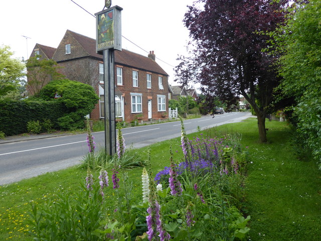
Tyler Hill, Kent

Tyler Hill is a small village on the northern outskirts of Canterbury, Kent in England. The population is included in the civil parish of Hackington. Its...

Tyler Hill Meadow

Tyler Hill Meadow is a 0.8-hectare (2.0-acre) Local Nature Reserve in Hackington, north of Canterbury in Kent. It is owned by Hackington Parish Council...

British Cartoon Archive

The British Cartoon Archive (BCA) is a department of the University of Kent, at Canterbury in Kent, England, and holds the national collection of political...

University of Kent

The University of Kent (formerly the University of Kent at Canterbury, abbreviated as UKC) is a semi-collegiate public research university based in Kent...

CSR 97.4FM

Canterbury Student Radio (CSR FM) is a membership based student and community radio station based in Canterbury, England. It is currently funded by Kent...

Hales Place

The residential area known as Hales Place is part of the civil parish of Hackington, and lies to the north of the city of Canterbury in Kent, England....

Kent Business School

Kent Business School (KBS) is the business school of the University of Kent. Although there are two business schools known as KBS, generally people seem...

Nearby Amenities

Located within 500m of 51.307909,1.077889
Generator Method: photovoltaic
Generator Output Electricity: yes
Generator Source: solar
Generator Type: solar_photovoltaic_panel
Location: roof
Power: generator
Lat/Long: 51.3081539/1.0707378
The data included in this document is from www.openstreetmap.org. The data is made available under ODbL.

Have you been to Great Hall Wood?

Leave your review of Great Hall Wood below (or comments, questions and feedback).