Honey Wood

Wood, Forest in Kent Canterbury

England

Honey Wood

Barton Down, NE of Canterbury: aerial 2022
Barton Down, NE of Canterbury: aerial 2022 Credit: Simon Tomson

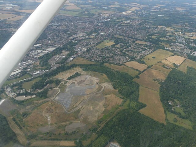
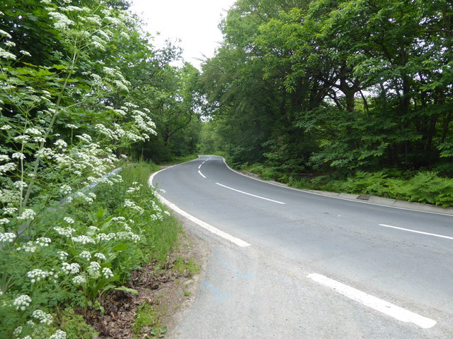
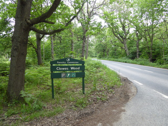
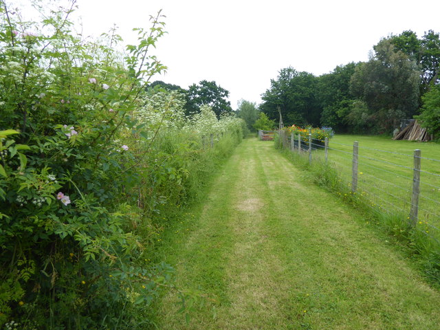
Honey Wood is a picturesque forest located in Kent, England. Covering an area of approximately 300 acres, it is a popular destination for nature enthusiasts and hikers. The wood is characterized by its dense canopy of deciduous trees, including oak, birch, and beech, creating a rich tapestry of colors throughout the seasons.

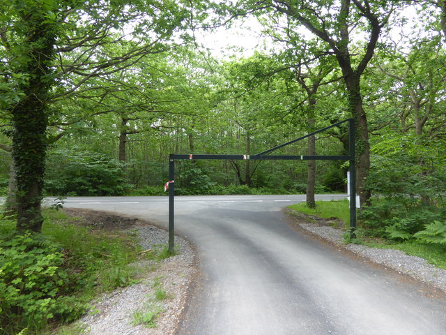
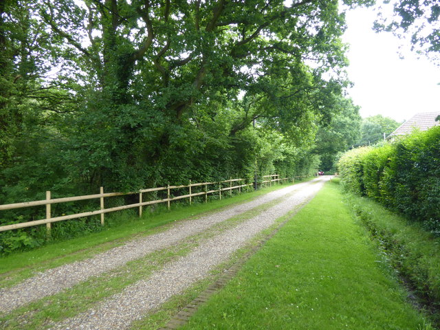
The forest offers a variety of walking trails, ranging from easy strolls to more challenging hikes, allowing visitors to explore its natural beauty at their own pace. Along the trails, one can encounter an array of wildlife, such as deer, foxes, and a diverse range of bird species.

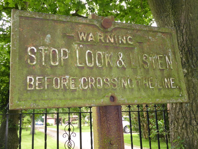
Honey Wood is not only known for its natural beauty but also for its historical significance. It has been mentioned in records dating back to the 13th century, and remnants of ancient settlements, including medieval earthworks and a Roman road, can still be found within its boundaries. These archaeological features add an element of intrigue and fascination for history enthusiasts.

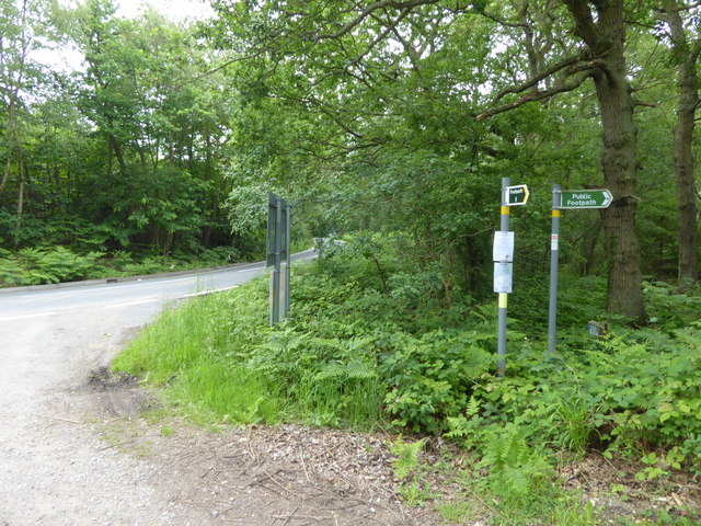
The forest is well-maintained, with designated picnic areas and benches for visitors to relax and enjoy the tranquility of their surroundings. Additionally, there are information boards along the trails, providing interesting facts about the flora, fauna, and history of the wood.

Overall, Honey Wood in Kent offers a serene and captivating experience for those seeking a peaceful retreat in nature or a glimpse into the rich history of the area.

If you have any feedback on the listing, please let us know in the comments section below.

Honey Wood Images

Images are sourced within 2km of 51.310023/1.0748015 or Grid Reference TR1461. Thanks to Geograph Open Source API. All images are credited.

Barton Down, NE of Canterbury: aerial 2022
Thornden Wood Road through Thornden Wood This is looking south from the entrance to the West Blean  & Thornden Woods Car Park.
Thornden Wood Road through Thornden Wood
This is looking south from the entrance to the West Blean & Thornden Woods Car Park.
Path into Thornden Wood This is looking west from the West Blean & Thornden Woods Car Park into Thornden Wood. West Blean and Thornden Woods are managed by Kent Wildlife Trust. They are a Site of Special Scientific Interest and in July 2022, as part of the Wilder Blean project, European bison were released into West Blean and Thornden Woods - see <span class="nowrap"><a title="https://en.wikipedia.org/wiki/West_Blean_and_Thornden_Woods" rel="nofollow ugc noopener" href="https://en.wikipedia.org/wiki/West_Blean_and_Thornden_Woods">Link</a><img style="margin-left:2px;" alt="External link" title="External link - shift click to open in new window" src="https://s1.geograph.org.uk/img/external.png" width="10" height="10"/></span>
Path into Thornden Wood
This is looking west from the West Blean & Thornden Woods Car Park into Thornden Wood. West Blean and Thornden Woods are managed by Kent Wildlife Trust. They are a Site of Special Scientific Interest and in July 2022, as part of the Wilder Blean project, European bison were released into West Blean and Thornden Woods - see LinkExternal link
Path into Thornden Wood West Blean and Thornden Woods are managed by Kent Wildlife Trust. They are a Site of Special Scientific Interest and in July 2022, as part of the Wilder Blean project, European bison were released into West Blean and Thornden Woods - see <span class="nowrap"><a title="https://en.wikipedia.org/wiki/West_Blean_and_Thornden_Woods" rel="nofollow ugc noopener" href="https://en.wikipedia.org/wiki/West_Blean_and_Thornden_Woods">Link</a><img style="margin-left:2px;" alt="External link" title="External link - shift click to open in new window" src="https://s1.geograph.org.uk/img/external.png" width="10" height="10"/></span>
Path into Thornden Wood
West Blean and Thornden Woods are managed by Kent Wildlife Trust. They are a Site of Special Scientific Interest and in July 2022, as part of the Wilder Blean project, European bison were released into West Blean and Thornden Woods - see LinkExternal link
University of Kent at Canterbury A road on the northern side of the campus site.
University of Kent at Canterbury
A road on the northern side of the campus site.
Footpaths into Clowes Wood Clowes Wood is one of several large woodlands north of Canterbury known as the Blean. This is one of the most important areas of ancient woodland in Britain, including woodland types of international importance. The Blean was traditionally coppiced and parts of Clowes Wood are still managed in this way. One of the rarer trees here is the small-leaved lime. It grows in just one location here but was once one of the commonest trees in southern England. Its decline is thought to be due to the effects of grazing animals and a change in the climate.

This looks along Radfall Road with Clowes Wood away to the right and Thornden Wood across the road to the left.

For more about Blean Wood National Nature Reserve - see <span class="nowrap"><a title="https://explorekent.org/activities/blean-woods-national-nature-reserve/" rel="nofollow ugc noopener" href="https://explorekent.org/activities/blean-woods-national-nature-reserve/">Link</a><img style="margin-left:2px;" alt="External link" title="External link - shift click to open in new window" src="https://s1.geograph.org.uk/img/external.png" width="10" height="10"/></span>
Footpaths into Clowes Wood
Clowes Wood is one of several large woodlands north of Canterbury known as the Blean. This is one of the most important areas of ancient woodland in Britain, including woodland types of international importance. The Blean was traditionally coppiced and parts of Clowes Wood are still managed in this way. One of the rarer trees here is the small-leaved lime. It grows in just one location here but was once one of the commonest trees in southern England. Its decline is thought to be due to the effects of grazing animals and a change in the climate. This looks along Radfall Road with Clowes Wood away to the right and Thornden Wood across the road to the left. For more about Blean Wood National Nature Reserve - see LinkExternal link
Radfall Road at Gypsy Corner Clowes Wood to the left here is one of several large woodlands north of Canterbury known as the Blean. This is one of the most important areas of ancient woodland in Britain, including woodland types of international importance. The Blean was traditionally coppiced and parts of Clowes Wood are still managed in this way. One of the rarer trees here is the small-leaved lime. It grows in just one location here but was once one of the commonest trees in southern England. Its decline is thought to be due to the effects of grazing animals and a change in the climate.

This looks along Radfall Road with Clowes Wood on the left and Thornden Wood across the road to the right.

For more about Blean Wood National Nature Reserve - see <span class="nowrap"><a title="https://explorekent.org/activities/blean-woods-national-nature-reserve/" rel="nofollow ugc noopener" href="https://explorekent.org/activities/blean-woods-national-nature-reserve/">Link</a><img style="margin-left:2px;" alt="External link" title="External link - shift click to open in new window" src="https://s1.geograph.org.uk/img/external.png" width="10" height="10"/></span>
Radfall Road at Gypsy Corner
Clowes Wood to the left here is one of several large woodlands north of Canterbury known as the Blean. This is one of the most important areas of ancient woodland in Britain, including woodland types of international importance. The Blean was traditionally coppiced and parts of Clowes Wood are still managed in this way. One of the rarer trees here is the small-leaved lime. It grows in just one location here but was once one of the commonest trees in southern England. Its decline is thought to be due to the effects of grazing animals and a change in the climate. This looks along Radfall Road with Clowes Wood on the left and Thornden Wood across the road to the right. For more about Blean Wood National Nature Reserve - see LinkExternal link
Entrance to Clowes Wood Clowes Wood is one of several large woodlands north of Canterbury known as the Blean. This is one of the most important areas of ancient woodland in Britain, including woodland types of international importance. The Blean was traditionally coppiced and parts of Clowes Wood are still managed in this way. One of the rarer trees here is the small-leaved lime. It grows in just one location here but was once one of the commonest trees in southern England. Its decline is thought to be due to the effects of grazing animals and a change in the climate.

This looks along Radfall Road with Clowes Wood away to the left and Thornden Wood across the road to the right.

For more about Blean Wood National Nature Reserve - see <span class="nowrap"><a title="https://explorekent.org/activities/blean-woods-national-nature-reserve/" rel="nofollow ugc noopener" href="https://explorekent.org/activities/blean-woods-national-nature-reserve/">Link</a><img style="margin-left:2px;" alt="External link" title="External link - shift click to open in new window" src="https://s1.geograph.org.uk/img/external.png" width="10" height="10"/></span>
Entrance to Clowes Wood
Clowes Wood is one of several large woodlands north of Canterbury known as the Blean. This is one of the most important areas of ancient woodland in Britain, including woodland types of international importance. The Blean was traditionally coppiced and parts of Clowes Wood are still managed in this way. One of the rarer trees here is the small-leaved lime. It grows in just one location here but was once one of the commonest trees in southern England. Its decline is thought to be due to the effects of grazing animals and a change in the climate. This looks along Radfall Road with Clowes Wood away to the left and Thornden Wood across the road to the right. For more about Blean Wood National Nature Reserve - see LinkExternal link
Exit from Clowes Wood on to Radfall Road Clowes Wood is one of several large woodlands north of Canterbury known as the Blean. This is one of the most important areas of ancient woodland in Britain, including woodland types of international importance. The Blean was traditionally coppiced and parts of Clowes Wood are still managed in this way. One of the rarer trees here is the small-leaved lime. It grows in just one location here but was once one of the commonest trees in southern England. Its decline is thought to be due to the effects of grazing animals and a change in the climate.

This looks across Radfall Road from the edge of Clowes Wood to Thornden Wood across the road.

For more about Blean Wood National Nature Reserve - see <span class="nowrap"><a title="https://explorekent.org/activities/blean-woods-national-nature-reserve/" rel="nofollow ugc noopener" href="https://explorekent.org/activities/blean-woods-national-nature-reserve/">Link</a><img style="margin-left:2px;" alt="External link" title="External link - shift click to open in new window" src="https://s1.geograph.org.uk/img/external.png" width="10" height="10"/></span>
Exit from Clowes Wood on to Radfall Road
Clowes Wood is one of several large woodlands north of Canterbury known as the Blean. This is one of the most important areas of ancient woodland in Britain, including woodland types of international importance. The Blean was traditionally coppiced and parts of Clowes Wood are still managed in this way. One of the rarer trees here is the small-leaved lime. It grows in just one location here but was once one of the commonest trees in southern England. Its decline is thought to be due to the effects of grazing animals and a change in the climate. This looks across Radfall Road from the edge of Clowes Wood to Thornden Wood across the road. For more about Blean Wood National Nature Reserve - see LinkExternal link
Route of the former Canterbury & Whitstable Railway The Canterbury & Whitstable Railway is often said to have been the first passenger railway in the world.  Construction of the 6 mile line took several years and work excavating the 828 yard Tyler Hill Tunnel proved difficult and lengthy. There were great celebrations for the opening on 3rd May 1830. In Canterbury, the cathedral bells were rung and guns were fired in salute.  

Sections of the line were so steeply graded that stationary engines were required to haul trains by cable up the steep ascents.  After the First World War, bus competition began to cause problems and the line to Whitstable finally closed to passengers on 1st January 1931. Goods traffic continued for a number of years but final closure came on 1st December 1952 after which time the track was removed.  A path now follows part of the old route and is known as the Crab & Winkle Way. Here though it is a private driveway to a house known appropriately as 'The Halt'. The Halt is now a private residence converted from an engineer's cottage.

This section of the old trackbed is particularly interesting as Blean & Tyler Hill Halt was located ahead between here and Tyler Hill Road. It was opened in 1908 and closed a mere 22 years later with the last passenger train. See <a title="https://www.geograph.org.uk/photo/1832585" href="https://www.geograph.org.uk/photo/1832585">Link</a>

See <span class="nowrap"><a title="http://www.bbc.co.uk/kent/content/articles/2008/05/27/history_lost_railway_feature.shtml" rel="nofollow ugc noopener" href="http://www.bbc.co.uk/kent/content/articles/2008/05/27/history_lost_railway_feature.shtml">Link</a><img style="margin-left:2px;" alt="External link" title="External link - shift click to open in new window" src="https://s1.geograph.org.uk/img/external.png" width="10" height="10"/></span>  and <span class="nowrap"><a title="https://en.wikipedia.org/wiki/Canterbury_and_Whitstable_Railway" rel="nofollow ugc noopener" href="https://en.wikipedia.org/wiki/Canterbury_and_Whitstable_Railway">Link</a><img style="margin-left:2px;" alt="External link" title="External link - shift click to open in new window" src="https://s1.geograph.org.uk/img/external.png" width="10" height="10"/></span>   and <span class="nowrap"><a title="http://crabandwinkle.org/?page_id=19" rel="nofollow ugc noopener" href="http://crabandwinkle.org/?page_id=19">Link</a><img style="margin-left:2px;" alt="External link" title="External link - shift click to open in new window" src="https://s1.geograph.org.uk/img/external.png" width="10" height="10"/></span>
Route of the former Canterbury & Whitstable Railway
The Canterbury & Whitstable Railway is often said to have been the first passenger railway in the world. Construction of the 6 mile line took several years and work excavating the 828 yard Tyler Hill Tunnel proved difficult and lengthy. There were great celebrations for the opening on 3rd May 1830. In Canterbury, the cathedral bells were rung and guns were fired in salute. Sections of the line were so steeply graded that stationary engines were required to haul trains by cable up the steep ascents. After the First World War, bus competition began to cause problems and the line to Whitstable finally closed to passengers on 1st January 1931. Goods traffic continued for a number of years but final closure came on 1st December 1952 after which time the track was removed. A path now follows part of the old route and is known as the Crab & Winkle Way. Here though it is a private driveway to a house known appropriately as 'The Halt'. The Halt is now a private residence converted from an engineer's cottage. This section of the old trackbed is particularly interesting as Blean & Tyler Hill Halt was located ahead between here and Tyler Hill Road. It was opened in 1908 and closed a mere 22 years later with the last passenger train. See Link See LinkExternal link and LinkExternal link and LinkExternal link
Old sign for the Canterbury & Whitstable Railway The Canterbury & Whitstable Railway is often said to have been the first passenger railway in the world.  Construction of the 6 mile line took several years and work excavating the 828 yard Tyler Hill Tunnel proved difficult and lengthy. There were great celebrations for the opening on 3rd May 1830. In Canterbury, the cathedral bells were rung and guns were fired in salute.  

Sections of the line were so steeply graded that stationary engines were required to haul trains by cable up the steep ascents.  After the First World War, bus competition began to cause problems and the line to Whitstable finally closed to passengers on 1st January 1931. Goods traffic continued for a number of years but final closure came on 1st December 1952 after which time the track was removed.  A path now follows part of the old route and is known as the Crab & Winkle Way. Here though it is alongside a private driveway to a house known appropriately as 'The Halt'. The old sign has survived - see <a title="https://www.geograph.org.uk/photo/5809263" href="https://www.geograph.org.uk/photo/5809263">Link</a>  for a close up. The Halt is now a private residence converted from an engineer's cottage. This section of the old trackbed is particularly interesting as Blean & Tyler Hill Halt was located between here and Tyler Hill Road just behind where I am standing. It was opened in 1908 and closed a mere 22 years later with the last passenger train. See <a title="https://www.geograph.org.uk/photo/1832585" href="https://www.geograph.org.uk/photo/1832585">Link</a>


See <span class="nowrap"><a title="http://www.bbc.co.uk/kent/content/articles/2008/05/27/history_lost_railway_feature.shtml" rel="nofollow ugc noopener" href="http://www.bbc.co.uk/kent/content/articles/2008/05/27/history_lost_railway_feature.shtml">Link</a><img style="margin-left:2px;" alt="External link" title="External link - shift click to open in new window" src="https://s1.geograph.org.uk/img/external.png" width="10" height="10"/></span>  and <span class="nowrap"><a title="https://en.wikipedia.org/wiki/Canterbury_and_Whitstable_Railway" rel="nofollow ugc noopener" href="https://en.wikipedia.org/wiki/Canterbury_and_Whitstable_Railway">Link</a><img style="margin-left:2px;" alt="External link" title="External link - shift click to open in new window" src="https://s1.geograph.org.uk/img/external.png" width="10" height="10"/></span>   and <span class="nowrap"><a title="http://crabandwinkle.org/?page_id=19" rel="nofollow ugc noopener" href="http://crabandwinkle.org/?page_id=19">Link</a><img style="margin-left:2px;" alt="External link" title="External link - shift click to open in new window" src="https://s1.geograph.org.uk/img/external.png" width="10" height="10"/></span>
Old sign for the Canterbury & Whitstable Railway
The Canterbury & Whitstable Railway is often said to have been the first passenger railway in the world. Construction of the 6 mile line took several years and work excavating the 828 yard Tyler Hill Tunnel proved difficult and lengthy. There were great celebrations for the opening on 3rd May 1830. In Canterbury, the cathedral bells were rung and guns were fired in salute. Sections of the line were so steeply graded that stationary engines were required to haul trains by cable up the steep ascents. After the First World War, bus competition began to cause problems and the line to Whitstable finally closed to passengers on 1st January 1931. Goods traffic continued for a number of years but final closure came on 1st December 1952 after which time the track was removed. A path now follows part of the old route and is known as the Crab & Winkle Way. Here though it is alongside a private driveway to a house known appropriately as 'The Halt'. The old sign has survived - see Link for a close up. The Halt is now a private residence converted from an engineer's cottage. This section of the old trackbed is particularly interesting as Blean & Tyler Hill Halt was located between here and Tyler Hill Road just behind where I am standing. It was opened in 1908 and closed a mere 22 years later with the last passenger train. See Link See LinkExternal link and LinkExternal link and LinkExternal link
Old railway sign The Canterbury & Whitstable Railway is often said to have been the first passenger railway in the world.  Construction of the 6 mile line took several years and work excavating the 828 yard Tyler Hill Tunnel proved difficult and lengthy. There were great celebrations for the opening on 3rd May 1830. In Canterbury, the cathedral bells were rung and guns were fired in salute.  

Sections of the line were so steeply graded that stationary engines were required to haul trains by cable up the steep ascents.  After the First World War, bus competition began to cause problems and the line to Whitstable finally closed to passengers on 1st January 1931. Goods traffic continued for a number of years but final closure came on 1st December 1952 after which time the track was removed.  

A path now follows part of the old route and is known as the Crab & Winkle Way. Here though it a private driveway to a house known appropriately as 'The Halt'. The Halt is now a private residence converted from an engineer's cottage. This section of the old trackbed is particularly interesting as Blean & Tyler Hill Halt was located between here and Tyler Hill Road just behind where I am standing. It was opened in 1908 and closed a mere 22 years later with the last passenger train. See <a title="https://www.geograph.org.uk/photo/1832585" href="https://www.geograph.org.uk/photo/1832585">Link</a>  The other reminder that this was once a railway is this old sign - see <a title="https://www.geograph.org.uk/photo/5809261" href="https://www.geograph.org.uk/photo/5809261">Link</a>  for its location.

See <span class="nowrap"><a title="http://www.bbc.co.uk/kent/content/articles/2008/05/27/history_lost_railway_feature.shtml" rel="nofollow ugc noopener" href="http://www.bbc.co.uk/kent/content/articles/2008/05/27/history_lost_railway_feature.shtml">Link</a><img style="margin-left:2px;" alt="External link" title="External link - shift click to open in new window" src="https://s1.geograph.org.uk/img/external.png" width="10" height="10"/></span>  and <span class="nowrap"><a title="https://en.wikipedia.org/wiki/Canterbury_and_Whitstable_Railway" rel="nofollow ugc noopener" href="https://en.wikipedia.org/wiki/Canterbury_and_Whitstable_Railway">Link</a><img style="margin-left:2px;" alt="External link" title="External link - shift click to open in new window" src="https://s1.geograph.org.uk/img/external.png" width="10" height="10"/></span>   and <span class="nowrap"><a title="http://crabandwinkle.org/?page_id=19" rel="nofollow ugc noopener" href="http://crabandwinkle.org/?page_id=19">Link</a><img style="margin-left:2px;" alt="External link" title="External link - shift click to open in new window" src="https://s1.geograph.org.uk/img/external.png" width="10" height="10"/></span>
Old railway sign
The Canterbury & Whitstable Railway is often said to have been the first passenger railway in the world. Construction of the 6 mile line took several years and work excavating the 828 yard Tyler Hill Tunnel proved difficult and lengthy. There were great celebrations for the opening on 3rd May 1830. In Canterbury, the cathedral bells were rung and guns were fired in salute. Sections of the line were so steeply graded that stationary engines were required to haul trains by cable up the steep ascents. After the First World War, bus competition began to cause problems and the line to Whitstable finally closed to passengers on 1st January 1931. Goods traffic continued for a number of years but final closure came on 1st December 1952 after which time the track was removed. A path now follows part of the old route and is known as the Crab & Winkle Way. Here though it a private driveway to a house known appropriately as 'The Halt'. The Halt is now a private residence converted from an engineer's cottage. This section of the old trackbed is particularly interesting as Blean & Tyler Hill Halt was located between here and Tyler Hill Road just behind where I am standing. It was opened in 1908 and closed a mere 22 years later with the last passenger train. See Link The other reminder that this was once a railway is this old sign - see Link for its location. See LinkExternal link and LinkExternal link and LinkExternal link
Footpath from Tyler Hill Road This footpath crosses the old route of the Canterbury & Whitstable Railway just ahead - see <a title="https://www.geograph.org.uk/photo/5809261" href="https://www.geograph.org.uk/photo/5809261">Link</a>  Beyond that it meets Fleets Lane.
Footpath from Tyler Hill Road
This footpath crosses the old route of the Canterbury & Whitstable Railway just ahead - see Link Beyond that it meets Fleets Lane.
Tyler Hill Tyler Hill is just to the north of the University of Kent campus. This is at the centre of the village with the village sign on Hackington Road.
Tyler Hill
Tyler Hill is just to the north of the University of Kent campus. This is at the centre of the village with the village sign on Hackington Road.
Hackington Road at Tyler Hill Tyler Hill is just to the north of the University of Kent campus. This is at the centre of the village with the village sign on Hackington Road.
Hackington Road at Tyler Hill
Tyler Hill is just to the north of the University of Kent campus. This is at the centre of the village with the village sign on Hackington Road.
Tyler Hill Tyler Hill is just to the north of the University of Kent campus. This is at the centre of the village with the village sign on Hackington Road. The village sign includes, of course, oast houses.
Tyler Hill
Tyler Hill is just to the north of the University of Kent campus. This is at the centre of the village with the village sign on Hackington Road. The village sign includes, of course, oast houses.
Calais Hill, Tyler Hill This is immediately west of the village centre of Tyler Hill - see <a title="https://www.geograph.org.uk/photo/5810136" href="https://www.geograph.org.uk/photo/5810136">Link</a>
Calais Hill, Tyler Hill
This is immediately west of the village centre of Tyler Hill - see Link
Calais Hill, Tyler Hill This is immediately west of the village centre of Tyler Hill - see <a title="https://www.geograph.org.uk/photo/5810136" href="https://www.geograph.org.uk/photo/5810136">Link</a>
Calais Hill, Tyler Hill
This is immediately west of the village centre of Tyler Hill - see Link
Show me another place!

Honey Wood is located at Grid Ref: TR1461 (Lat: 51.310023, Lng: 1.0748015)

Administrative County: Kent

District: Canterbury

Police Authority: Kent

What 3 Words

///outlooks.milk.courtyard. Near Blean, Kent

Related Wikis

Hackington

Hackington is an area of Canterbury in Kent, England, also known (especially historically) as St Stephen's, incorporating the northern part of the city...
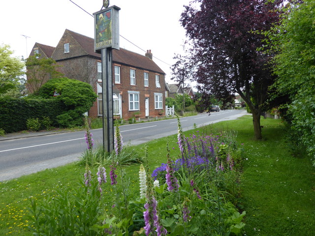
Tyler Hill, Kent

Tyler Hill is a small village on the northern outskirts of Canterbury, Kent in England. The population is included in the civil parish of Hackington. Its...
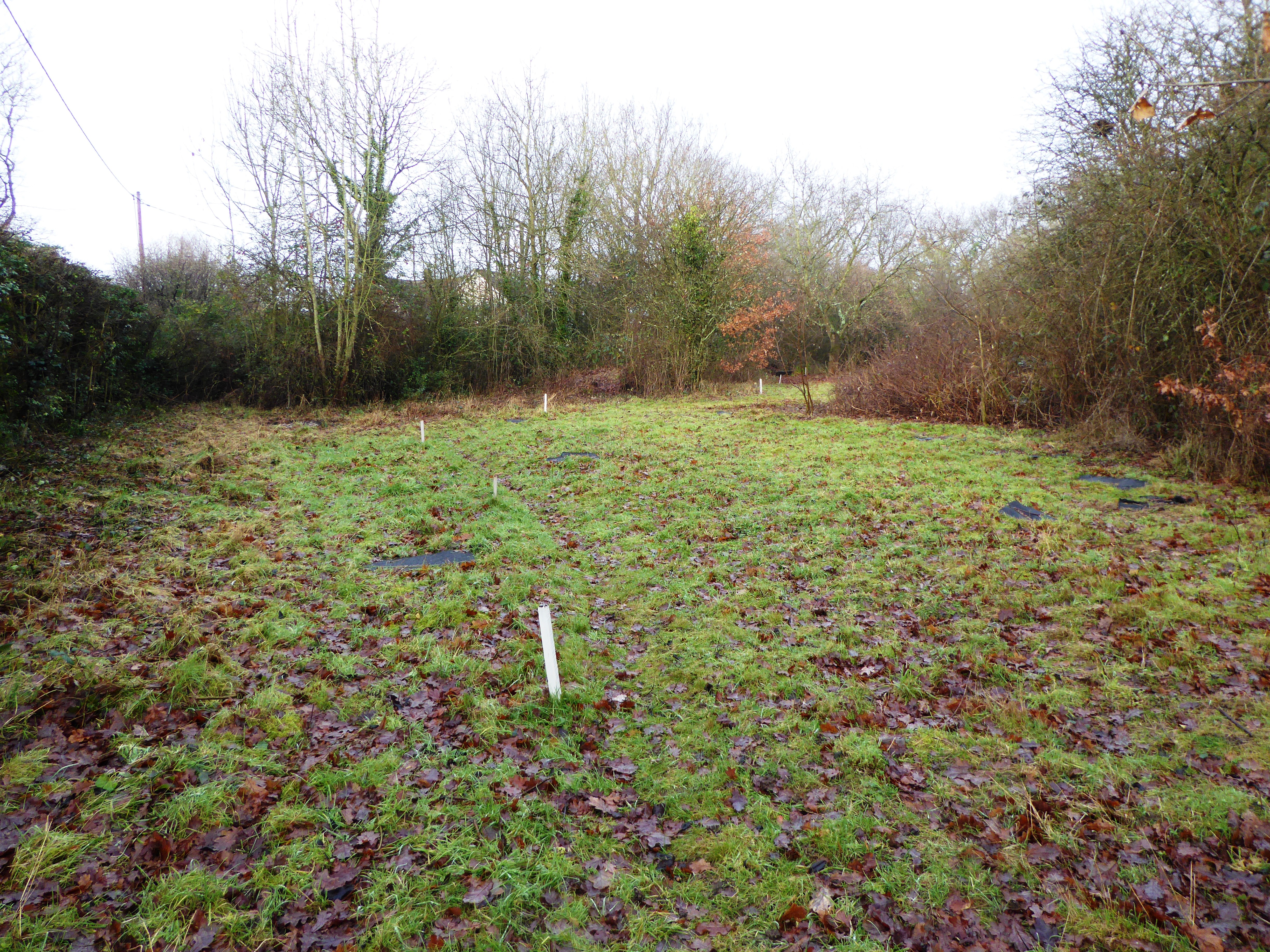
Tyler Hill Meadow

Tyler Hill Meadow is a 0.8-hectare (2.0-acre) Local Nature Reserve in Hackington, north of Canterbury in Kent. It is owned by Hackington Parish Council...

British Cartoon Archive

The British Cartoon Archive (BCA) is a department of the University of Kent, at Canterbury in Kent, England, and holds the national collection of political...

Blean and Tyler Hill Halt railway station

Blean and Tyler Hill Halt was a minor station on the Canterbury and Whitstable Railway at Tyler Hill, Kent. It opened in 1908 and closed in 1931. ��2...
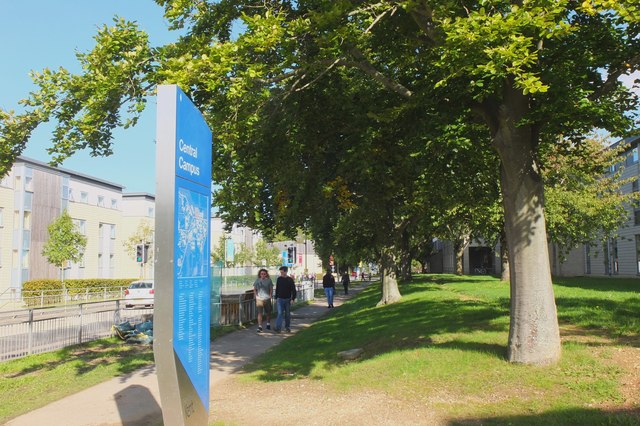
University of Kent

The University of Kent (formerly the University of Kent at Canterbury, abbreviated as UKC) is a semi-collegiate public research university based in Kent...

Kent Business School

Kent Business School (KBS) is the business school of the University of Kent. Although there are two business schools known as KBS, generally people seem...

CSR 97.4FM

Canterbury Student Radio (CSR FM) is a membership based student and community radio station based in Canterbury, England. It is currently funded by Kent...

Nearby Amenities

Located within 500m of 51.310023,1.0748015
Crossing
Crossing Island: yes
Lat/Long: 51.3072457/1.0698408
Bus Stop
Ivy House Inn
Naptan AtcoCode: 2400A050310A
Naptan Bearing: N
Naptan CommonName: Ivy House Inn
Naptan Indicator: o/s
Naptan Landmark: Ivy House
Naptan NaptanCode: kntgatjg
Naptan Street: Hackington Road
Naptan Verified: no
Source: naptan_import
Lat/Long: 51.3072006/1.0697737
Bus Stop
Ivy House Inn
Naptan AtcoCode: 2400A050320A
Naptan Bearing: S
Naptan CommonName: Ivy House Inn
Naptan Indicator: opp
Naptan Landmark: Ivy House
Naptan NaptanCode: kntgatjm
Naptan Street: Hackington Road
Naptan Verified: no
Source: naptan_import
Lat/Long: 51.3070894/1.0698835
Pub
The Tyler's Kiln
Addr City: Canterbury
Addr Housenumber: 27
Addr Postcode: CT2 9NE
Addr Street: Hackington Road
Addr Village: Tyler Hill
Fhrs Id: 1103102
Old Name: Ivy House
Phone: +44 1227 471912
Source Addr: http://www2.canterbury.gov.uk/committee/CeConvert2PDF.asp?MID=4248&F=Agenda+Enclosure+7.pdf&A=1&R=0
Wheelchair: yes
Wheelchair Description: Main door has ramp and ground floor is mostly accessible but many heavy doors to get through.
Lat/Long: 51.3071994/1.0696914
Tyler Hill
Place: village
Source: OS7
Wikidata: Q3546024
Lat/Long: 51.3078088/1.0693089
Generator Method: photovoltaic
Generator Output Electricity: yes
Generator Source: solar
Generator Type: solar_photovoltaic_panel
Location: roof
Power: generator
Lat/Long: 51.3081539/1.0707378
Generator Method: photovoltaic
Generator Output Electricity: yes
Generator Source: solar
Generator Type: solar_photovoltaic_panel
Location: roof
Power: generator
Lat/Long: 51.3080986/1.0701826
Generator Method: photovoltaic
Generator Output Electricity: yes
Generator Source: solar
Generator Type: solar_photovoltaic_panel
Location: roof
Power: generator
Lat/Long: 51.3080064/1.0702148
Man Made: surveillance
Surveillance Type: camera
Lat/Long: 51.3142679/1.0726071
The data included in this document is from www.openstreetmap.org. The data is made available under ODbL.

Have you been to Honey Wood?

Leave your review of Honey Wood below (or comments, questions and feedback).