Ringland Wood
Wood, Forest in Norfolk Broadland
England
Ringland Wood
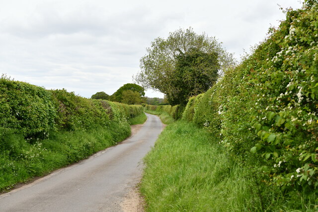
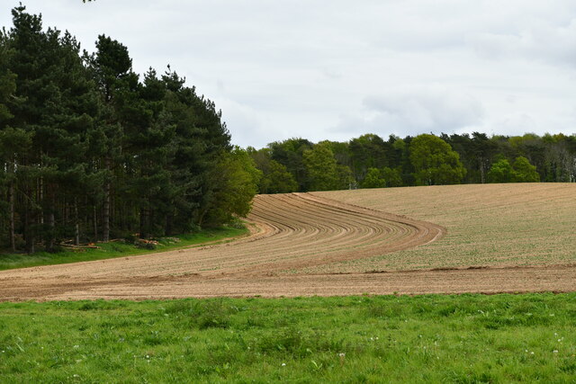
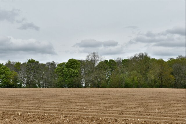
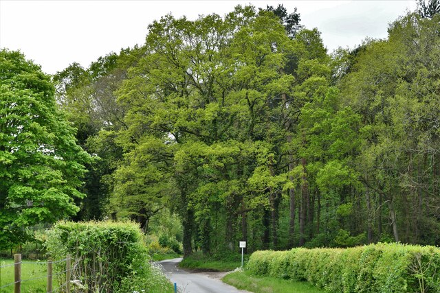
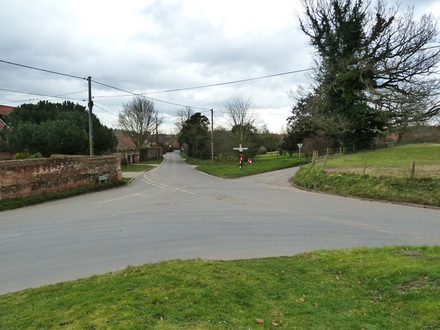
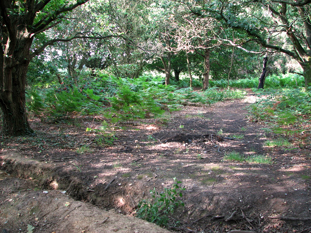
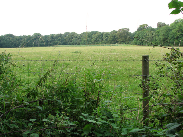
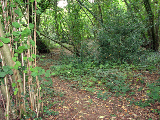
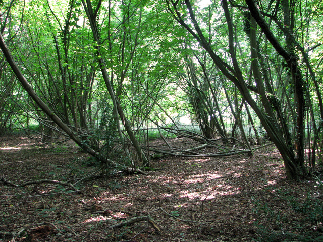
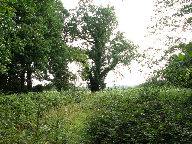
Ringland Wood is a captivating woodland area located in the county of Norfolk, England. Situated near the village of Ringland, this enchanting forest covers an estimated area of 110 hectares. The wood is predominantly made up of broadleaf trees, such as oak, beech, ash, and birch, which create a diverse and vibrant ecosystem.
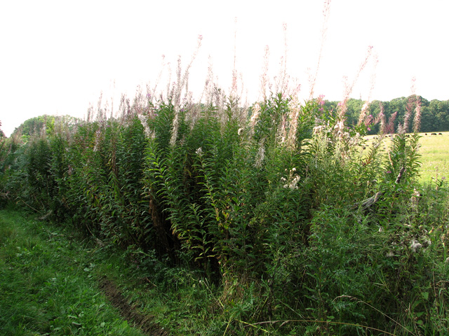
The wood is famous for its rich biodiversity, offering a haven for various flora and fauna species. It is home to a wide range of wildlife, including deer, badgers, foxes, and numerous bird species. The tranquil atmosphere and diverse habitats within the wood attract nature enthusiasts, bird watchers, and photographers.
Visitors to Ringland Wood can enjoy a network of well-maintained footpaths and trails that wind through the forest, offering opportunities for leisurely walks, hikes, and exploration. The wood also features a picnic area, allowing visitors to relax and immerse themselves in the natural surroundings.
The management of Ringland Wood is overseen by the Norfolk Wildlife Trust, ensuring the preservation and conservation of the woodland. The trust actively works to maintain the delicate balance of the ecosystem, promoting sustainable practices to protect the woodland's natural beauty.
Overall, Ringland Wood is a picturesque and biodiverse forest that provides a peaceful retreat for both locals and tourists. Its stunning natural features, diverse wildlife, and well-maintained trails make it a popular destination for nature lovers and those seeking solace in the beauty of Norfolk's countryside.
If you have any feedback on the listing, please let us know in the comments section below.
Ringland Wood Images
Images are sourced within 2km of 52.676933/1.1699707 or Grid Reference TG1413. Thanks to Geograph Open Source API. All images are credited.


![Elephant Hawk moth (Deilephila elpenor) larva For a wider view of this location see &gt; <a title="https://www.geograph.org.uk/photo/2569242" href="https://www.geograph.org.uk/photo/2569242">Link</a>.
The English name of this moth is derived from the caterpillar&#039;s fanciful resemblance to an elephant&#039;s trunk.* The adults are attractively coloured pink and green affairs, with a streamlined appearance &gt; <a title="https://www.geograph.org.uk/photo/4551684" href="https://www.geograph.org.uk/photo/4551684">Link</a>. They fly from May to July, visiting flowers such as honeysuckle (Lonicera) for nectar. The larvae feed mainly on rosebay willowherb (Epilobium angustifolium), but also other plants as well, including bedstraw (Galium). <span class="nowrap"><a title="http://ukmoths.org.uk/show.php?id=4183" rel="nofollow ugc noopener" href="http://ukmoths.org.uk/show.php?id=4183">Link</a><img style="margin-left:2px;" alt="External link" title="External link - shift click to open in new window" src="https://s1.geograph.org.uk/img/external.png" width="10" height="10"/></span>
* Geograph moderator Rob Farrow believes that the reference to the elephant isn&#039;t so much the appearance of the entire caterpillar, but its extendable &quot;snout&quot; that comes out of its head. [Many thanks, Rob.]](https://s1.geograph.org.uk/geophotos/02/56/92/2569257_ffa8d4d5.jpg)
Ringland Wood is located at Grid Ref: TG1413 (Lat: 52.676933, Lng: 1.1699707)
Administrative County: Norfolk
District: Broadland
Police Authority: Norfolk
What 3 Words
///worms.river.twinge. Near Costessey, Norfolk
Nearby Locations
Related Wikis

Taverham Hall School
Taverham Hall School was a private co-educational day and boarding preparatory school. Situated in Taverham, Norfolk, it was founded in 1920. The school...

Ringland, Norfolk
Ringland is a village and civil parish in Norfolk, England, and in the valley of the River Wensum, approximately 7 miles (11 km) north-west of Norwich...
Taverham High School
Taverham High School is a secondary school and sixth form with academy status, located in Taverham in the English county of Norfolk. As well as serving...

Taverham
Taverham is a village and civil parish in Norfolk, in England. It is approximately 5 miles (8 km) north-west of Norwich. Taverham sits on the River Wensum...
Nearby Amenities
Located within 500m of 52.676933,1.1699707Have you been to Ringland Wood?
Leave your review of Ringland Wood below (or comments, questions and feedback).