Argent Manor Wood
Wood, Forest in Suffolk Babergh
England
Argent Manor Wood
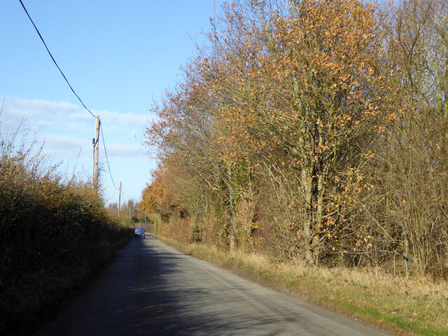
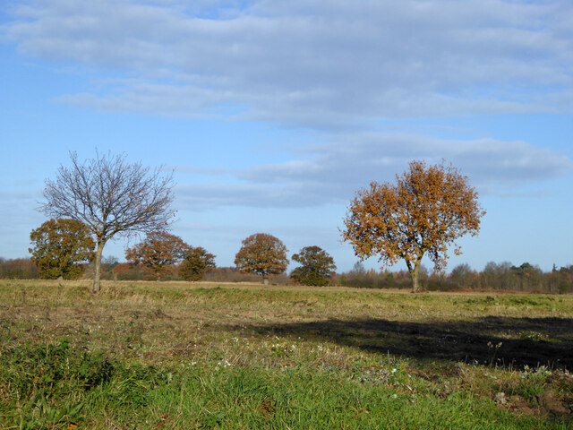
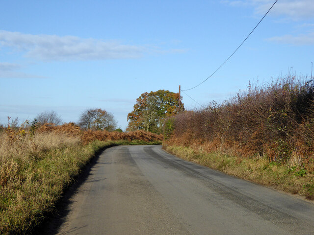
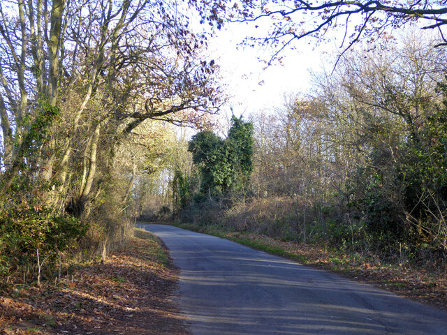
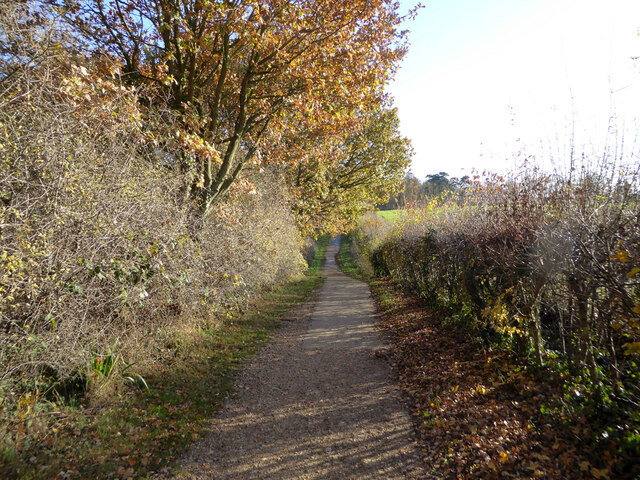
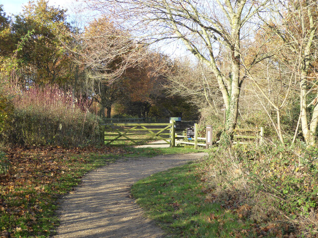
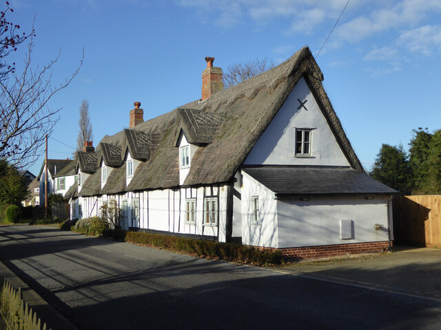
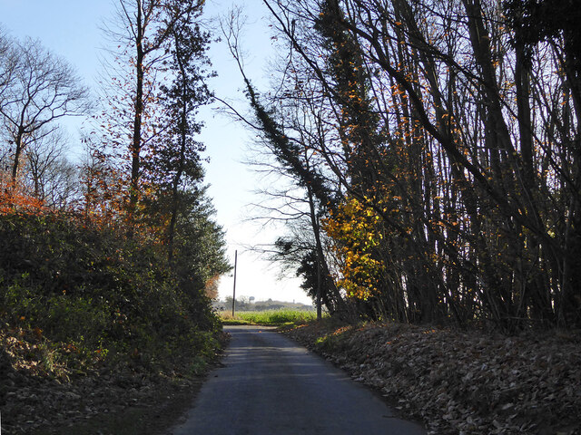
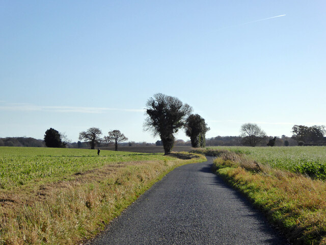
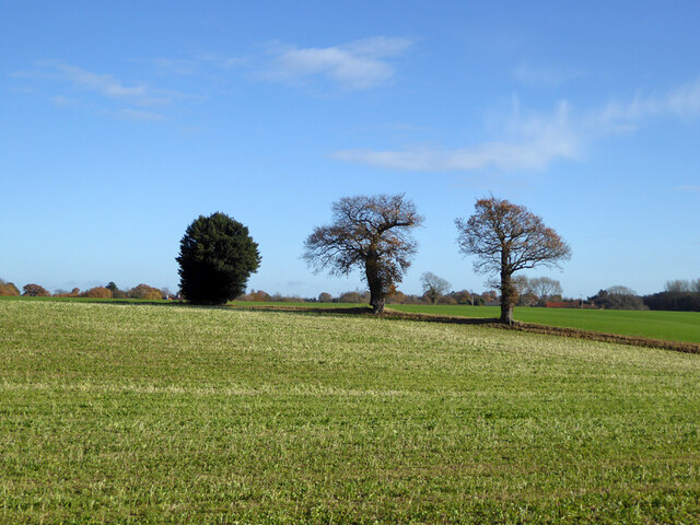
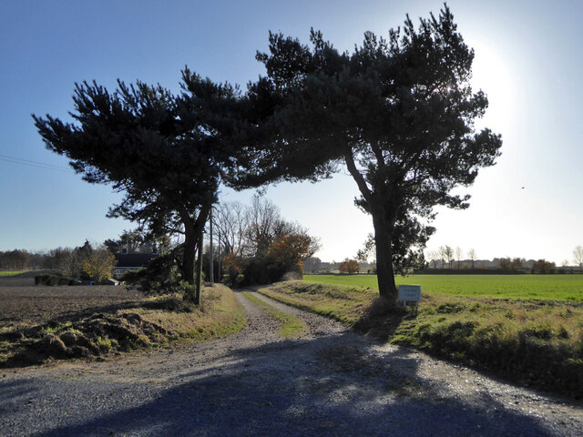
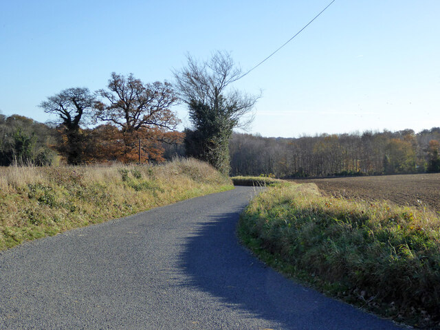
Argent Manor Wood is a picturesque woodland located in Suffolk, England. Spanning over an area of approximately 100 acres, it is a serene and diverse forest that offers a tranquil escape from the bustling city life. The wood is situated within close proximity to the charming village of Argent Manor, which adds to its allure.
The woodland boasts a rich variety of trees, including oak, beech, and ash, which create a beautiful canopy overhead. The forest floor is adorned with an array of wildflowers, creating a colorful and vibrant atmosphere during the spring and summer months. The wood is also home to several species of wildlife, such as deer, foxes, and various bird species, making it a popular spot for nature enthusiasts and birdwatchers.
There are numerous well-maintained walking trails that wind their way through the wood, allowing visitors to explore and appreciate its natural beauty. These trails provide an opportunity to admire the ancient trees, listen to the soothing sounds of nature, and breathe in the fresh, crisp air.
Argent Manor Wood is a protected nature reserve, and as such, it is important for visitors to respect the environment and adhere to any guidelines or regulations put in place. The wood offers a peaceful retreat for those seeking solitude or a place to connect with nature, making it a cherished gem in the Suffolk countryside.
If you have any feedback on the listing, please let us know in the comments section below.
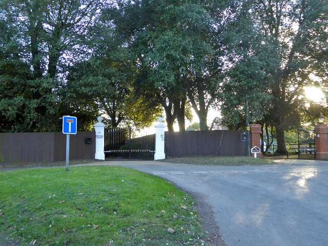
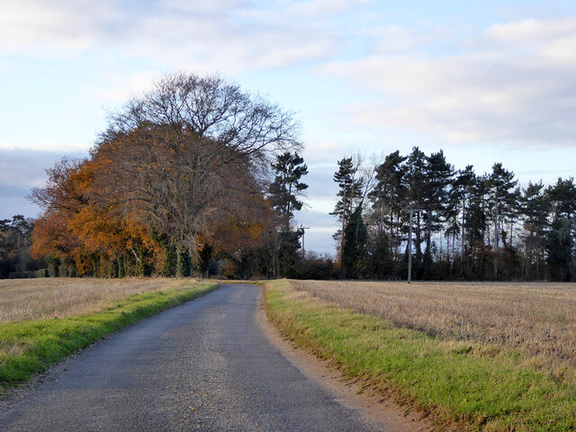
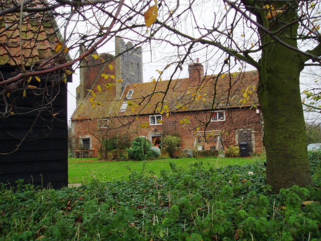
Argent Manor Wood Images
Images are sourced within 2km of 51.976177/1.1206985 or Grid Reference TM1435. Thanks to Geograph Open Source API. All images are credited.
Argent Manor Wood is located at Grid Ref: TM1435 (Lat: 51.976177, Lng: 1.1206985)
Administrative County: Suffolk
District: Babergh
Police Authority: Suffolk
What 3 Words
///such.lightly.dolls. Near Holbrook, Suffolk
Nearby Locations
Related Wikis

Stutton, Suffolk
Stutton is a small village and a civil parish approximately seven miles south of Ipswich in Suffolk, United Kingdom, on the Shotley peninsula. The village...
Tattingstone Wonder
The Tattingstone Wonder is a folly at Tattingstone in Suffolk, England. Located some 6 miles (9.7 km) south of Ipswich the Tattingstone Wonder was originally...

Alton Water
Alton Water (or Alton Reservoir) is a manmade reservoir located on the Shotley peninsula. It is the largest in Suffolk, with a perimeter of over 8 miles...

Tattingstone
Tattingstone is a village and civil parish in Suffolk, England. It is situated on the Shotley peninsula, about 5 miles (8 km) south of Ipswich. The 2011...

Royal Hospital School
The Royal Hospital School (usually shortened as "RHS" and historically nicknamed "The Cradle of the Navy") is a British co-educational fee-charging boarding...
Blackbourn Hundred
Blackbourn was a hundred of Suffolk, consisting of 66,272 acres (26,819 ha). Blackbourn hundred was situated in the north-west of Suffolk. Its northern...
Samford Hundred
Samford was a hundred of Suffolk, consisting of 44,940 acres (181.9 km2). It was situated to the south and south west of Ipswich. The hundred was bounded...

Holbrook, Suffolk
Holbrook is a village situated close to the northern shore of the estuary of the River Stour, in Suffolk, England. It is located on the Shotley Peninsula...
Nearby Amenities
Located within 500m of 51.976177,1.1206985Have you been to Argent Manor Wood?
Leave your review of Argent Manor Wood below (or comments, questions and feedback).