Bunwell Fen

Wood, Forest in Norfolk South Norfolk

England

Bunwell Fen

Mill Lane, Forncett St Peter Leaving the village, heading west. The mill was a windmill at the next crossroads.
Mill Lane, Forncett St Peter Credit: Robin Webster

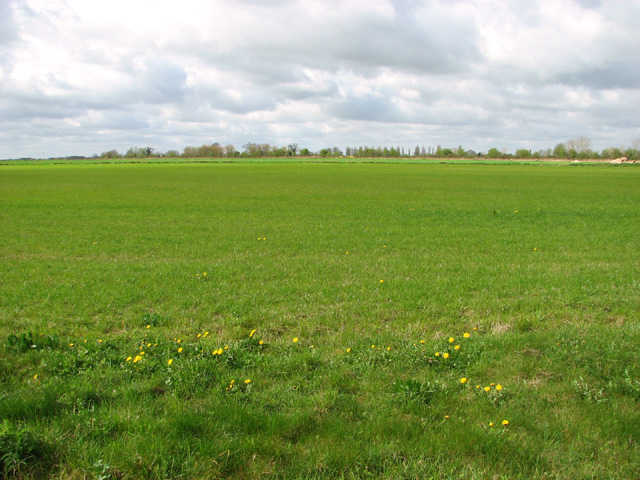
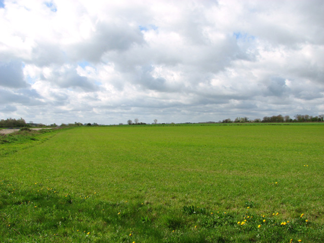
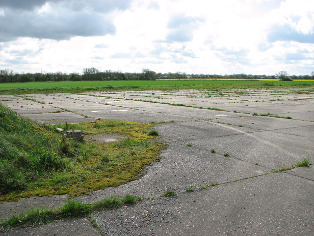
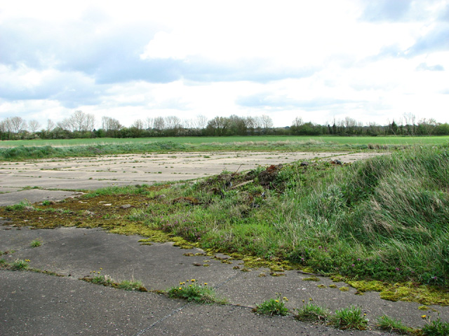
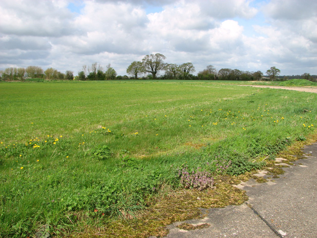
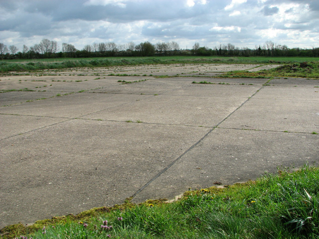
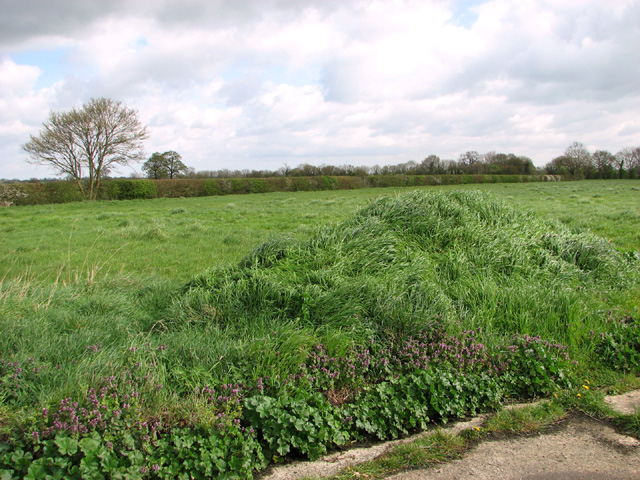
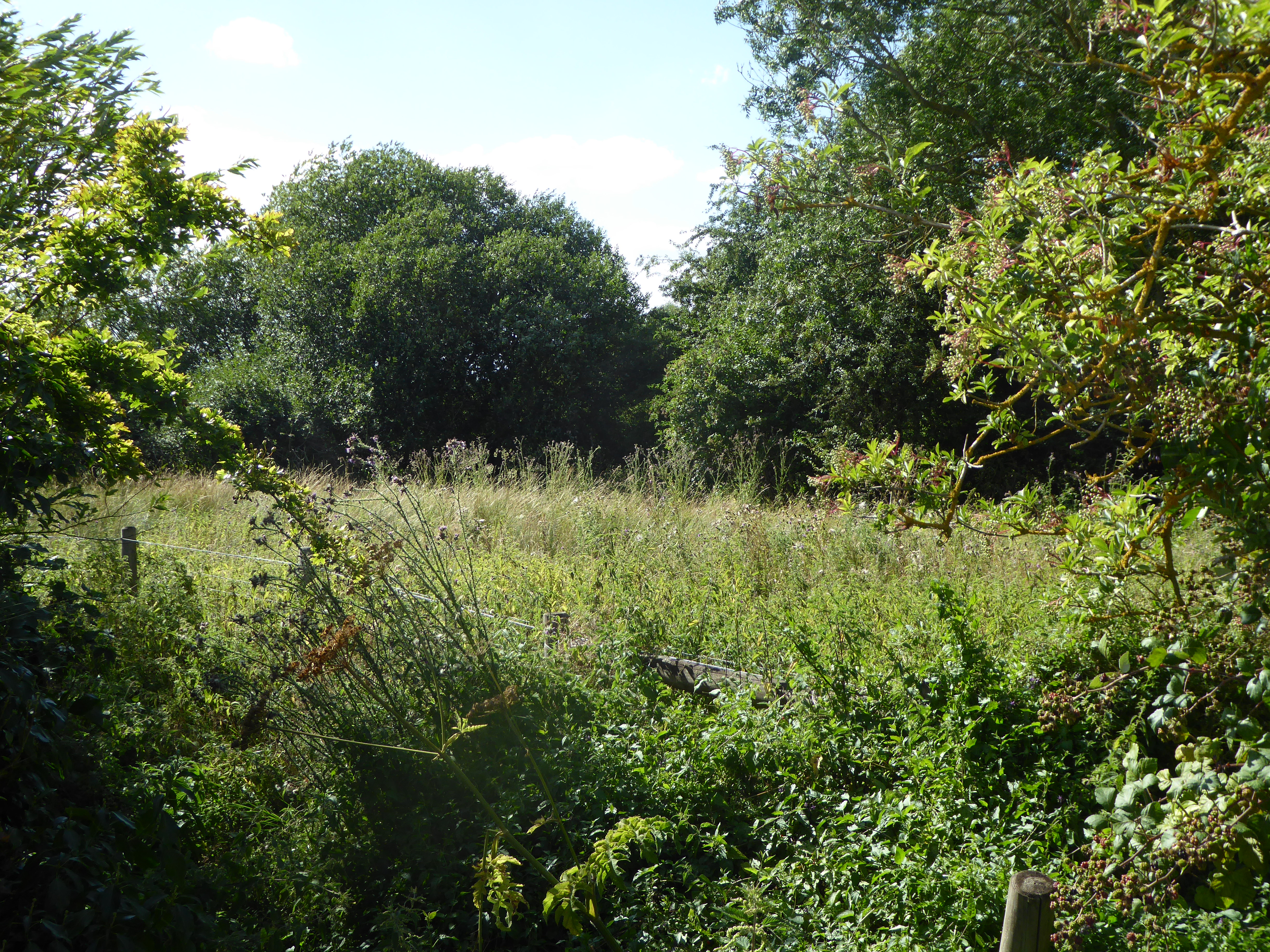
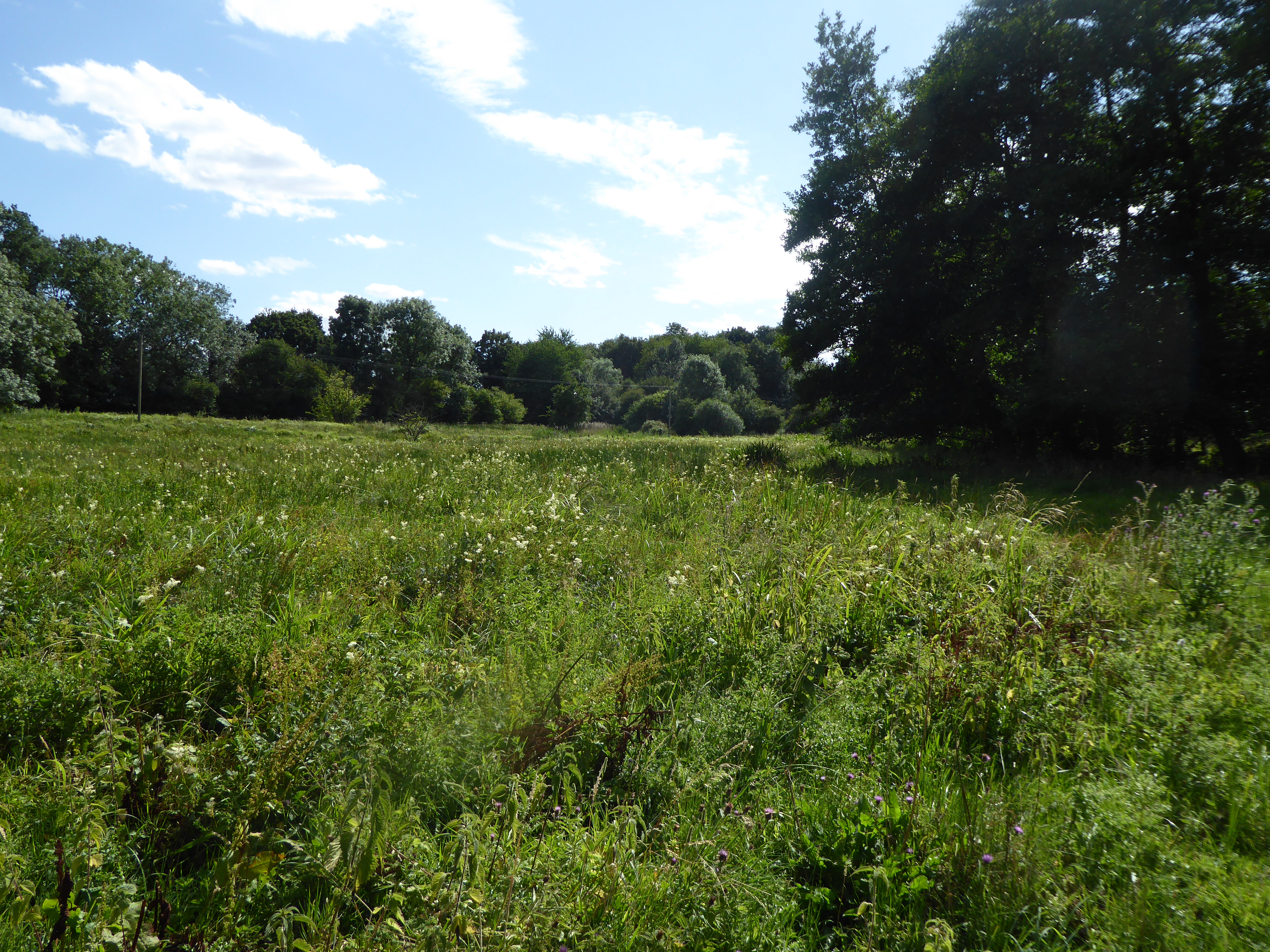
Bunwell Fen is a picturesque woodland located in the county of Norfolk, England. Covering an area of approximately 40 hectares, it is known for its diverse range of flora and fauna, making it a popular destination for nature enthusiasts and hikers alike.

The woodland is characterized by its dense canopy of deciduous and coniferous trees, including oak, beech, and pine. These towering trees provide a habitat for a variety of wildlife, such as deer, foxes, and numerous bird species, including woodpeckers and owls.

The forest floor of Bunwell Fen is carpeted with a rich assortment of wildflowers, ferns, and mosses, adding to its natural beauty. Additionally, the fen is home to several species of rare and protected plants, including the carnivorous sundew and the delicate orchid.

Visitors to Bunwell Fen can explore the woodland through a network of well-maintained trails, which wind their way through the trees and alongside a tranquil stream. The trails offer glimpses of the diverse wildlife that calls the fen home, and provide opportunities for birdwatching and photography.

Bunwell Fen is a place of tranquility and natural beauty, allowing visitors to escape the hustle and bustle of everyday life and immerse themselves in the peace and serenity of the woodland. Whether it is for a leisurely stroll, a picnic, or a spot of birdwatching, this Norfolk gem is sure to enchant and captivate all who visit.

If you have any feedback on the listing, please let us know in the comments section below.
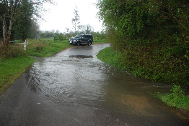
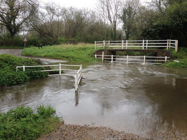
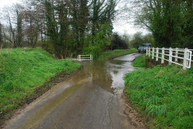
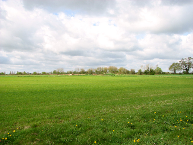
Bunwell Fen Images

Images are sourced within 2km of 52.481308/1.1592371 or Grid Reference TM1491. Thanks to Geograph Open Source API. All images are credited.

Mill Lane, Forncett St Peter Leaving the village, heading west. The mill was a windmill at the next crossroads.
Mill Lane, Forncett St Peter
Leaving the village, heading west. The mill was a windmill at the next crossroads.
Gilderswood Lane, west from Forncett St Peter Some maps omit the 'Lane', but it is included on its nameplate at the east end.
Gilderswood Lane, west from Forncett St Peter
Some maps omit the 'Lane', but it is included on its nameplate at the east end.
Gilderswood Lane, west from Forncett St Peter Some maps omit the 'Lane', but it is included on its nameplate at the east end.
Gilderswood Lane, west from Forncett St Peter
Some maps omit the 'Lane', but it is included on its nameplate at the east end.
Low Common Lane Towards Bunwell Hill.
Low Common Lane
Towards Bunwell Hill.
Bunwell Hill The name of the road as well as the settlement.
Bunwell Hill
The name of the road as well as the settlement.
Ford at Forncett St Peter This ford on the River Tas is found at the junction with the aptly named Wash Lane and the road south to Pottergate Street.
Ford at Forncett St Peter
This ford on the River Tas is found at the junction with the aptly named Wash Lane and the road south to Pottergate Street.
Ford at Pottergate Street This ford is found on Bunwell Road and is shown in full flood following heavy April rain.
Ford at Pottergate Street
This ford is found on Bunwell Road and is shown in full flood following heavy April rain.
Aslacton Ford This ford, in full flood following heavy April rain, is found on the junction of Bunwell Road and Steeple Lane just north of Aslacton.
Aslacton Ford
This ford, in full flood following heavy April rain, is found on the junction of Bunwell Road and Steeple Lane just north of Aslacton.
Gower's Farm Ford This ford on the River Tas is found on Hall Road on the way to Bunwell Hill. The ford is in flood following heavy April rain.
Gower's Farm Ford
This ford on the River Tas is found on Hall Road on the way to Bunwell Hill. The ford is in flood following heavy April rain.
Ford at Brock's Watering This ford is found on the Forncett Road just south of Brock's Watering.
Ford at Brock's Watering
This ford is found on the Forncett Road just south of Brock's Watering.
Cereal crop near Tibenham
Cereal crop on the old Tibenham airfield This part of the old aerodrome has long since been returned to agriculture.
Cereal crop on the old Tibenham airfield
This part of the old aerodrome has long since been returned to agriculture.
Fields by Tibenham This part of the old aerodrome has long since been returned to agriculture. Tibenham is an ex-WWII airfield (constructed in 1942/43), located in South Norfolk, approx 7.5 miles from Diss and 15 miles from Norwich. The airfield is currently owned by the Norfolk Gliding Club and consists of three tarmac runways as well as plenty of landable grass areas.
Fields by Tibenham
This part of the old aerodrome has long since been returned to agriculture. Tibenham is an ex-WWII airfield (constructed in 1942/43), located in South Norfolk, approx 7.5 miles from Diss and 15 miles from Norwich. The airfield is currently owned by the Norfolk Gliding Club and consists of three tarmac runways as well as plenty of landable grass areas.
The end of a runway This is the northern end of the runway at Tibenham airfield.   This part of the old aerodrome has long since been returned to agriculture. Tibenham is an ex-WWII airfield (constructed in 1942/43), located in South Norfolk, approx 7.5 miles from Diss and 15 miles from Norwich. The airfield is currently owned by the Norfolk Gliding Club and consists of three tarmac runways as well as plenty of landable grass areas.
The end of a runway
This is the northern end of the runway at Tibenham airfield. This part of the old aerodrome has long since been returned to agriculture. Tibenham is an ex-WWII airfield (constructed in 1942/43), located in South Norfolk, approx 7.5 miles from Diss and 15 miles from Norwich. The airfield is currently owned by the Norfolk Gliding Club and consists of three tarmac runways as well as plenty of landable grass areas.
The former Tibenham aerodrome View across the northern end of the runway at Tibenham airfield. This part of the old aerodrome has long since been returned to agriculture. Tibenham is an ex-WWII airfield (constructed in 1942/43), located in South Norfolk, approx 7.5 miles from Diss and 15 miles from Norwich. The airfield is currently owned by the Norfolk Gliding Club and consists of three tarmac runways as well as plenty of landable grass areas.
The former Tibenham aerodrome
View across the northern end of the runway at Tibenham airfield. This part of the old aerodrome has long since been returned to agriculture. Tibenham is an ex-WWII airfield (constructed in 1942/43), located in South Norfolk, approx 7.5 miles from Diss and 15 miles from Norwich. The airfield is currently owned by the Norfolk Gliding Club and consists of three tarmac runways as well as plenty of landable grass areas.
Footpath skirting the northern edge of Tibenham aerodrome This part of the old aerodrome has long since been returned to agriculture. Tibenham is an ex-WWII airfield (constructed in 1942/43), located in South Norfolk, approx 7.5 miles from Diss and 15 miles from Norwich. The airfield is currently owned by the Norfolk Gliding Club and consists of three tarmac runways as well as plenty of landable grass areas.
Footpath skirting the northern edge of Tibenham aerodrome
This part of the old aerodrome has long since been returned to agriculture. Tibenham is an ex-WWII airfield (constructed in 1942/43), located in South Norfolk, approx 7.5 miles from Diss and 15 miles from Norwich. The airfield is currently owned by the Norfolk Gliding Club and consists of three tarmac runways as well as plenty of landable grass areas.
This is where the runway ends This is the northern end of the runway at Tibenham airfield. This part of the old aerodrome has long since been returned to agriculture. Tibenham is an ex-WWII airfield (constructed in 1942/43), located in South Norfolk, approx 7.5 miles from Diss and 15 miles from Norwich. The airfield is currently owned by the Norfolk Gliding Club and consists of three tarmac runways as well as plenty of landable grass areas.
This is where the runway ends
This is the northern end of the runway at Tibenham airfield. This part of the old aerodrome has long since been returned to agriculture. Tibenham is an ex-WWII airfield (constructed in 1942/43), located in South Norfolk, approx 7.5 miles from Diss and 15 miles from Norwich. The airfield is currently owned by the Norfolk Gliding Club and consists of three tarmac runways as well as plenty of landable grass areas.
Fields by Tibenham airfield This part of the old aerodrome has long since been returned to agriculture. Tibenham is an ex-WWII airfield (constructed in 1942/43), located in South Norfolk, approx 7.5 miles from Diss and 15 miles from Norwich. The airfield is currently owned by the Norfolk Gliding Club and consists of three tarmac runways as well as plenty of landable grass areas.
Fields by Tibenham airfield
This part of the old aerodrome has long since been returned to agriculture. Tibenham is an ex-WWII airfield (constructed in 1942/43), located in South Norfolk, approx 7.5 miles from Diss and 15 miles from Norwich. The airfield is currently owned by the Norfolk Gliding Club and consists of three tarmac runways as well as plenty of landable grass areas.
Show me another place!

Bunwell Fen is located at Grid Ref: TM1491 (Lat: 52.481308, Lng: 1.1592371)

Administrative County: Norfolk

District: South Norfolk

Police Authority: Norfolk

What 3 Words

///crescendo.broached.corrupted. Near Long Stratton, Norfolk

Related Wikis

Aslacton Parish Land

Aslacton Parish Land is a 4.4-hectare (11-acre) biological Site of Special Scientific Interest west of Long Stratton in Norfolk.This site has wet and dry...

Aslacton

Aslacton is a village and civil parish in the English county of Norfolk. It is situated between Norwich and Diss, and is near Great Moulton. The closest...
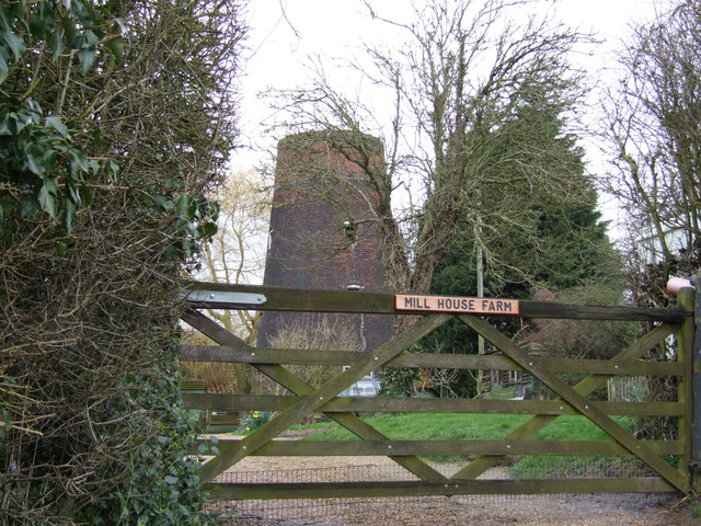
Aslacton Windmill

Aslacton Mill is a Grade II listed tower mill at Aslacton, Norfolk, England which is derelict. == History == Aslacton Mill was probably built in 1834,...

Forncett Meadows

Forncett Meadows is a 5.2-hectare (13-acre) biological Site of Special Scientific Interest west of Long Stratton in Norfolk.This site in the valley of...

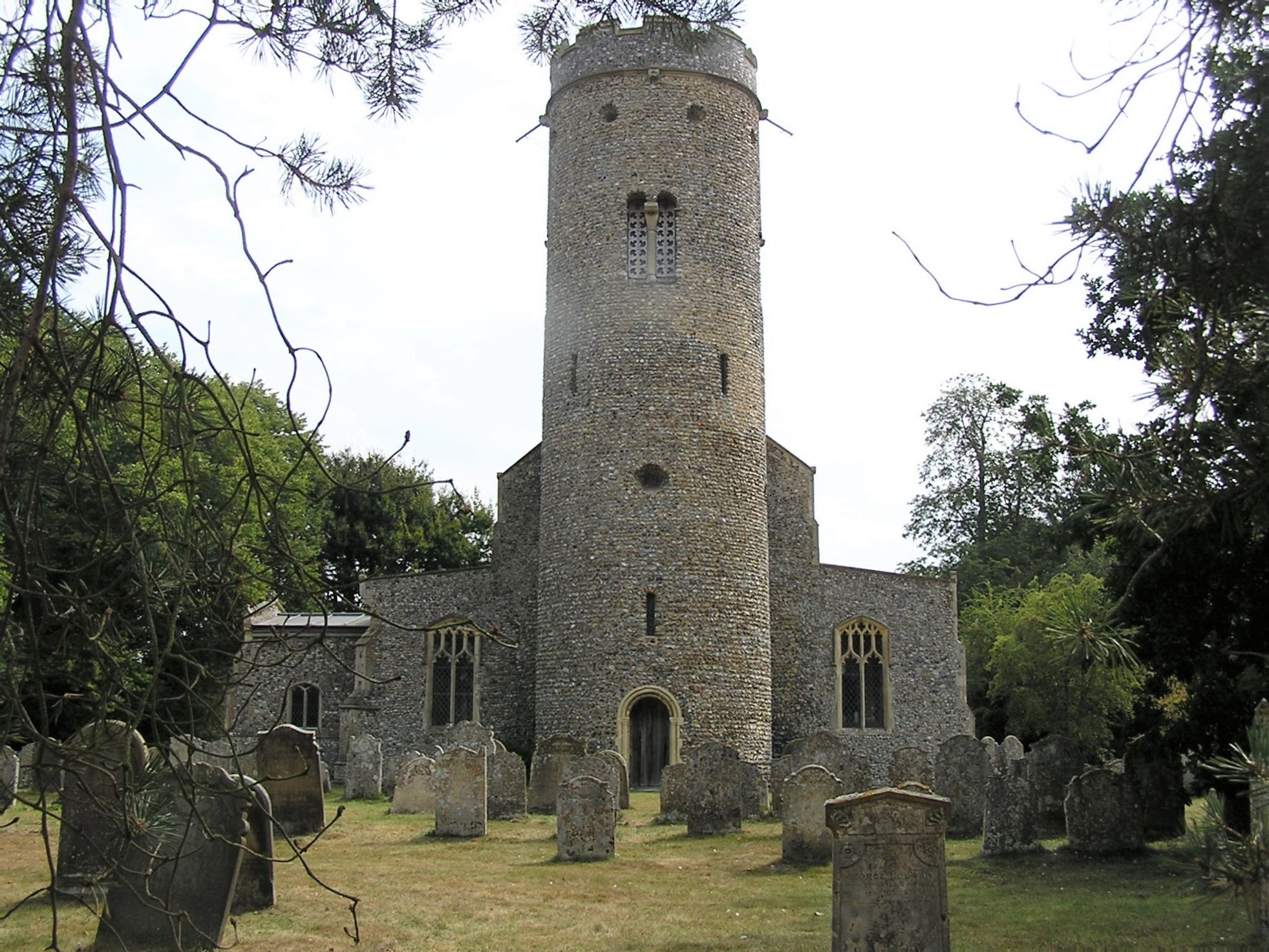
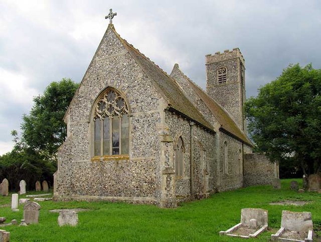
St Peter's Church, Forncett

St Peter's is one of seven churches in the parish of Upper Tas Valley All Saints in south Norfolk, ten miles south of Norwich, UK. The full name is St...

Tibenham, Norfolk

Tibenham is a village and civil parish located in the Depwade district of South Norfolk, England. The parish is 2 miles (3.2 km) north west of Tivetshall...

Forncett

Forncett is a civil parish in the English county of Norfolk. It covers an area of 10.76 km2 (4.15 sq mi) and had a population of 1,000 in 381 households...
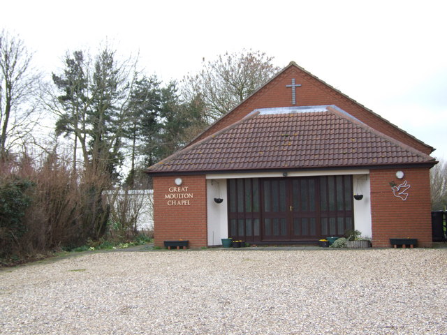
Great Moulton

Great Moulton (also known as Moulton St Michael) is a civil parish in the English county of Norfolk. Until the 16th century it also included the Little...

Nearby Amenities

Located within 500m of 52.481308,1.1592371
Barrier: stile
Lat/Long: 52.4822012/1.1637918
Post Box
Collection Times: Mo-Fr 12:00; Sa 11:15
Post Box Mounting: telegraph_pole
Post Box Type: lamp
Ref: NR16 1627
Royal Cypher: EIIR
Royal Cypher Wikidata: Q33102113
Lat/Long: 52.4825943/1.1618043
Barrier: stile
Bicycle: no
Foot: yes
Material: metal
Stile: squeezer
Lat/Long: 52.4779519/1.1591657
Power: pole
Lat/Long: 52.4796888/1.1565184
Power: pole
Lat/Long: 52.4803455/1.1536378
Power: pole
Lat/Long: 52.4835194/1.156615
Power: pole
Lat/Long: 52.4821587/1.1543995
Power: pole
Lat/Long: 52.4820754/1.1557379
Power: pole
Lat/Long: 52.4822731/1.1529297
Power: pole
Lat/Long: 52.4842136/1.1621243
Power: pole
Lat/Long: 52.4821081/1.1550727
Power: pole
Lat/Long: 52.4826782/1.1546302
Power: pole
Lat/Long: 52.4836893/1.1575752
Power: pole
Lat/Long: 52.4826733/1.1525139
Power: pole
Lat/Long: 52.4846824/1.159257
Power: pole
Lat/Long: 52.4838249/1.1637202
Power: pole
Lat/Long: 52.4834165/1.1654529
Power: pole
Lat/Long: 52.4817646/1.1531563
Power: pole
Lat/Long: 52.4822171/1.1537128
Woodland Farm
Place: farm
Source: OS 1:25k
Lat/Long: 52.4787143/1.1609915
Power: pole
Lat/Long: 52.4851291/1.1582556
The data included in this document is from www.openstreetmap.org. The data is made available under ODbL.

Have you been to Bunwell Fen?

Leave your review of Bunwell Fen below (or comments, questions and feedback).