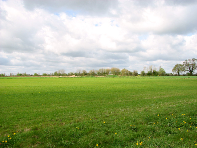
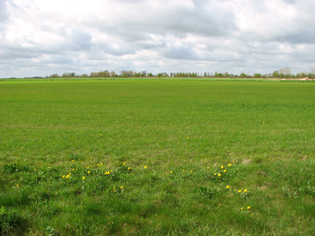
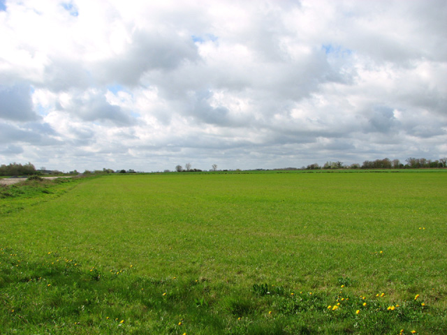
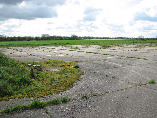
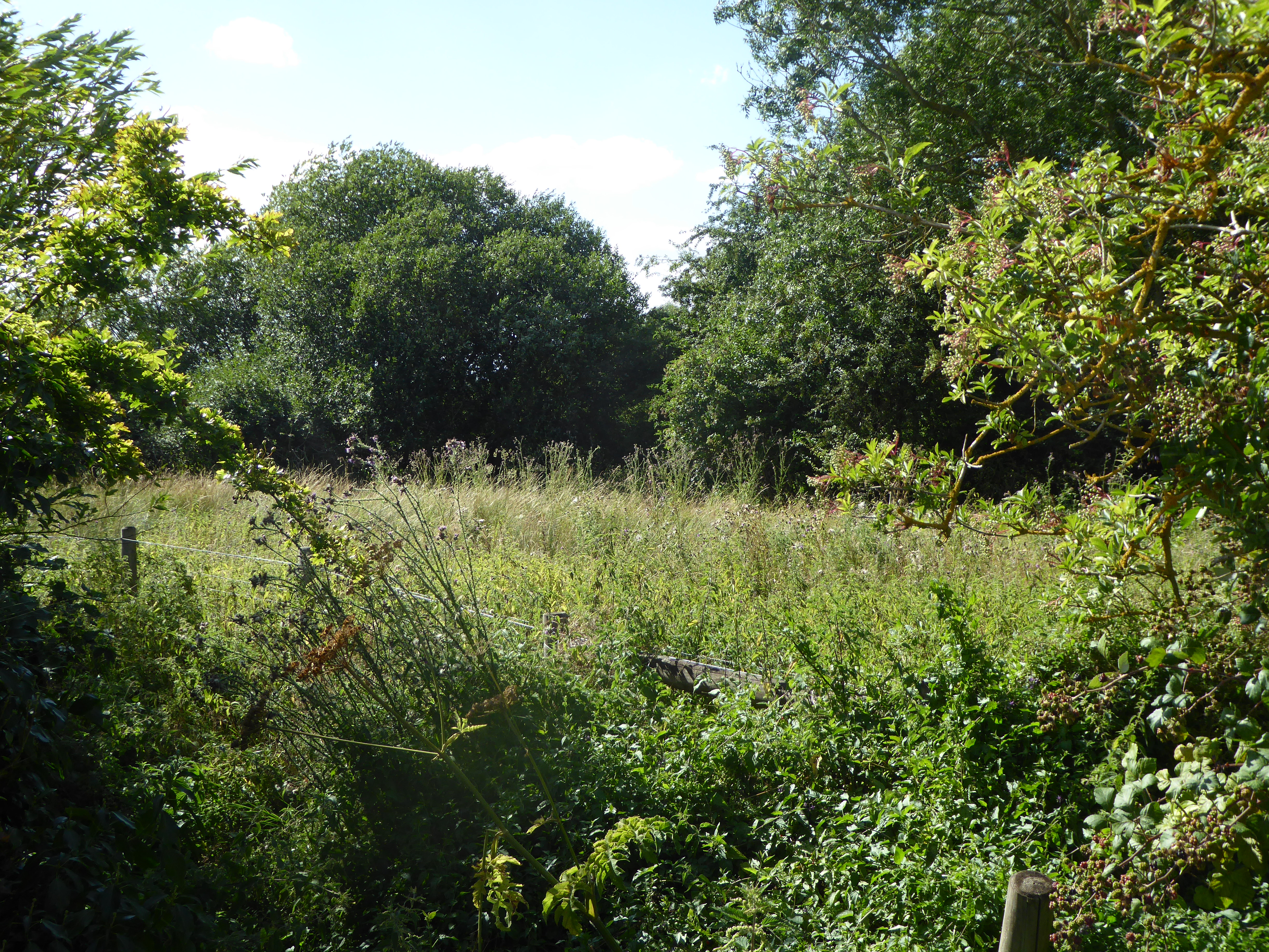
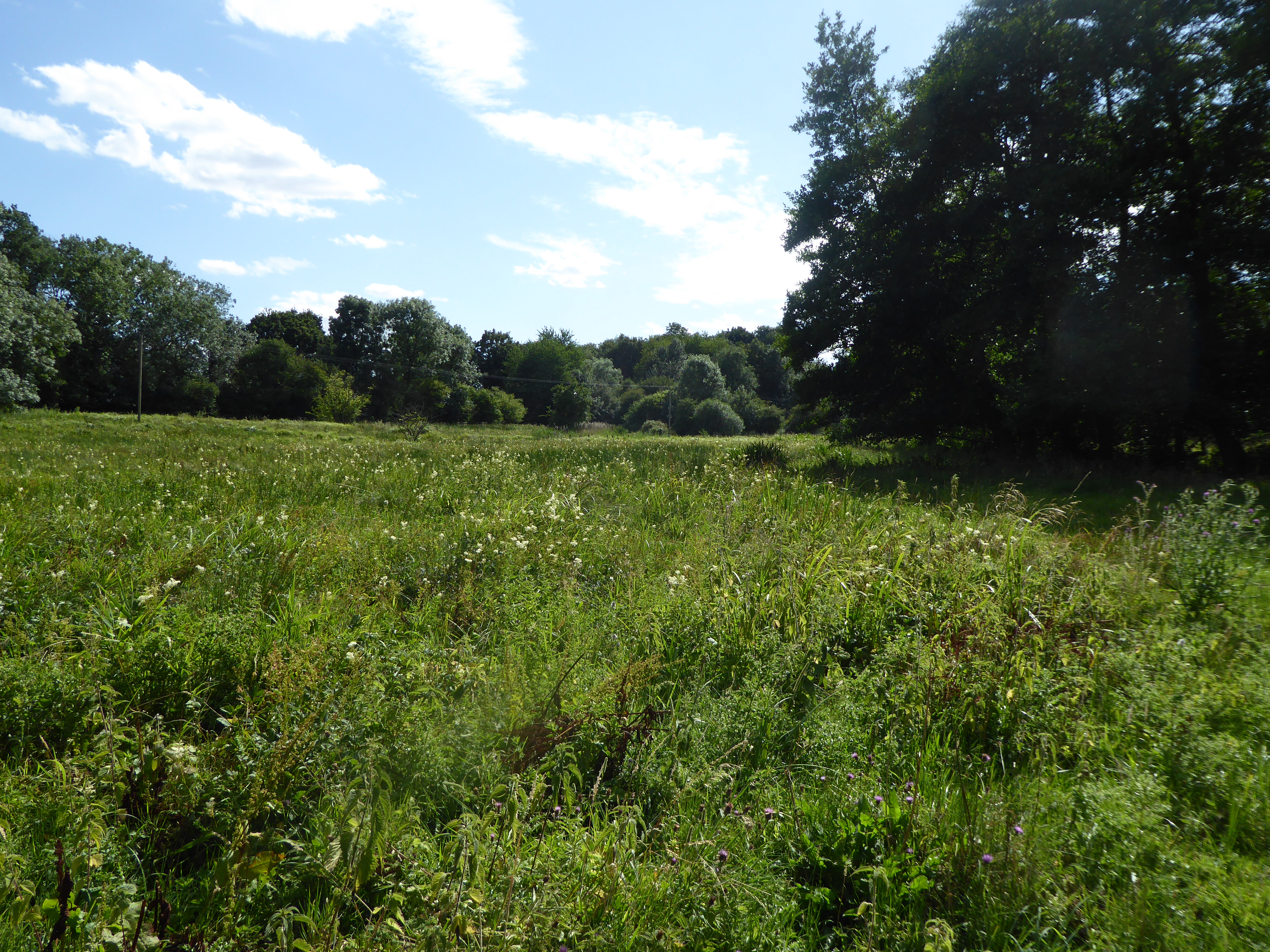
Common, Low
Settlement in Norfolk South Norfolk
England
Common, Low
The requested URL returned error: 429 Too Many Requests
If you have any feedback on the listing, please let us know in the comments section below.
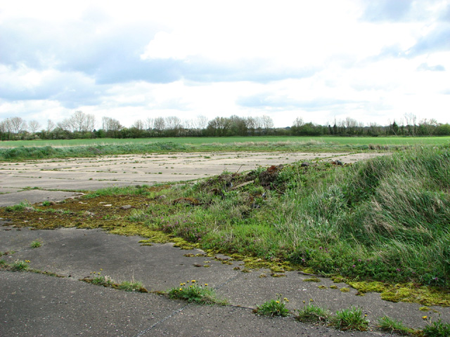
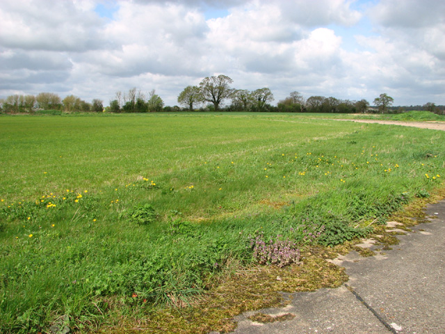
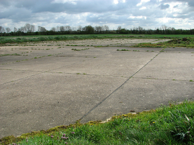
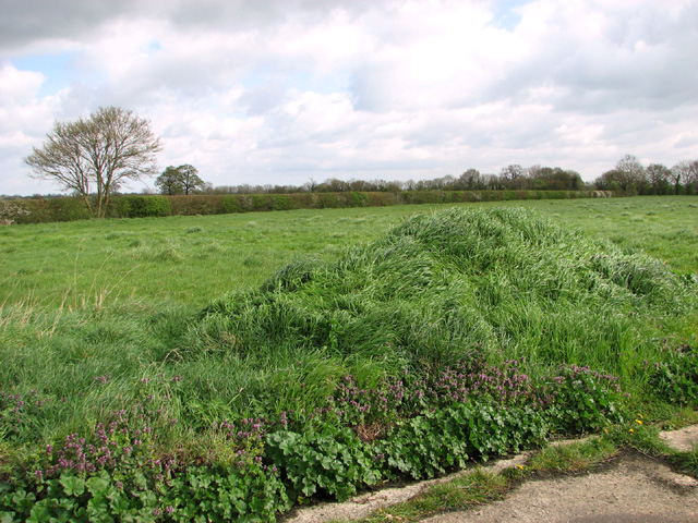
Common, Low Images
Images are sourced within 2km of 52.48284/1.156087 or Grid Reference TM1491. Thanks to Geograph Open Source API. All images are credited.


Common, Low is located at Grid Ref: TM1491 (Lat: 52.48284, Lng: 1.156087)
Administrative County: Norfolk
District: South Norfolk
Police Authority: Norfolk
What 3 Words
///earlobes.guides.consumed. Near Long Stratton, Norfolk
Nearby Locations
Related Wikis
Aslacton Parish Land
Aslacton Parish Land is a 4.4-hectare (11-acre) biological Site of Special Scientific Interest west of Long Stratton in Norfolk.This site has wet and dry...

Aslacton
Aslacton is a village and civil parish in the English county of Norfolk. It is situated between Norwich and Diss, and is near Great Moulton. The closest...
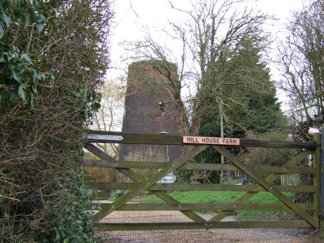
Aslacton Windmill
Aslacton Mill is a Grade II listed tower mill at Aslacton, Norfolk, England which is derelict. == History == Aslacton Mill was probably built in 1834,...
Forncett Meadows
Forncett Meadows is a 5.2-hectare (13-acre) biological Site of Special Scientific Interest west of Long Stratton in Norfolk.This site in the valley of...
Nearby Amenities
Located within 500m of 52.48284,1.156087Have you been to Common, Low?
Leave your review of Common, Low below (or comments, questions and feedback).