Coffin Shaw
Wood, Forest in Kent Canterbury
England
Coffin Shaw

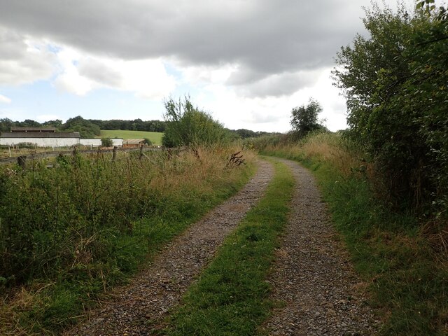
Coffin Shaw, located in Kent, England, is a picturesque woodland area boasting a rich history and diverse ecosystem. Situated in the larger Forest of Kent, Coffin Shaw is known for its dense woodlands, serene atmosphere, and stunning natural beauty.
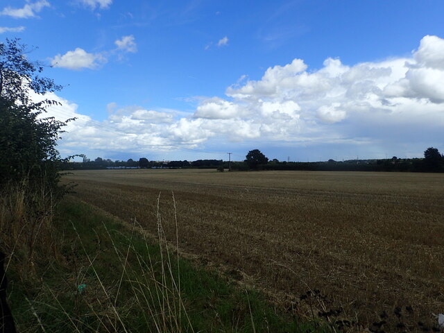
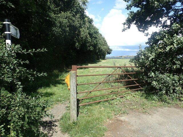
Covering an area of approximately 100 hectares, Coffin Shaw is home to a variety of tree species, such as oak, beech, and birch, which create a vibrant and ever-changing landscape throughout the seasons. These woodlands provide a haven for various wildlife, including deer, foxes, badgers, and a wide array of bird species, making it a popular spot for nature enthusiasts and birdwatchers.
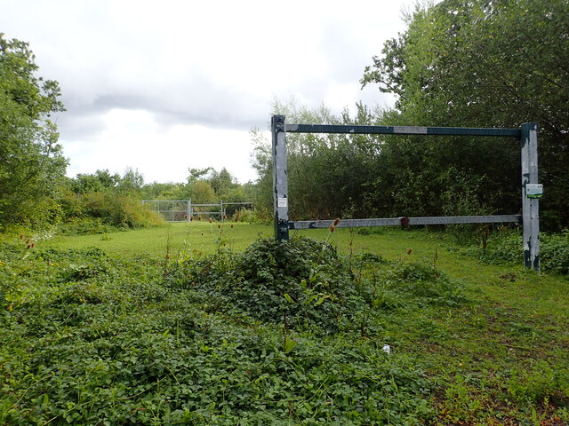
The history of Coffin Shaw dates back centuries, with evidence of human activity in the area dating back to the Iron Age. The woodlands were once used for timber production, and remnants of charcoal pits and sawpits can still be found today, offering a glimpse into the area's past. Additionally, Coffin Shaw has been designated as a Site of Special Scientific Interest (SSSI) due to its rich biodiversity and geological features.
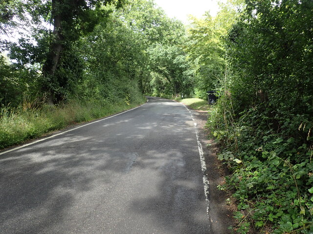
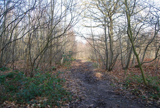
The woodlands are a popular destination for outdoor recreation, providing numerous walking trails and pathways for visitors to explore. These trails meander through the ancient woodlands, offering breathtaking views of the surrounding countryside and opportunities to spot wildlife. The tranquil atmosphere and natural beauty of Coffin Shaw make it an ideal location for nature lovers, hikers, and those seeking a peaceful retreat from the bustling city life.
Overall, Coffin Shaw in Kent offers a unique blend of natural beauty, historical significance, and recreational opportunities, making it a must-visit destination for both locals and tourists alike.
If you have any feedback on the listing, please let us know in the comments section below.
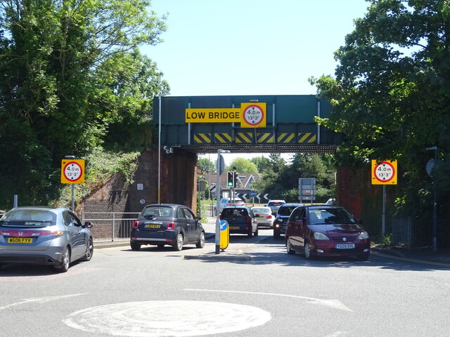
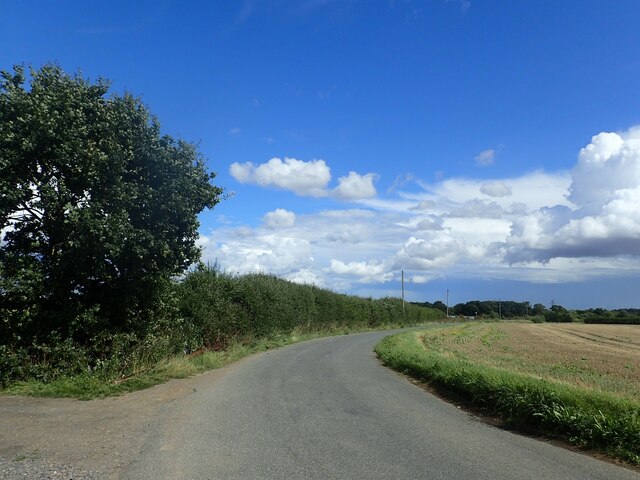
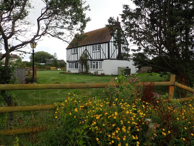
Coffin Shaw Images
Images are sourced within 2km of 51.342656/1.0689728 or Grid Reference TR1364. Thanks to Geograph Open Source API. All images are credited.


Coffin Shaw is located at Grid Ref: TR1364 (Lat: 51.342656, Lng: 1.0689728)
Administrative County: Kent
District: Canterbury
Police Authority: Kent
What 3 Words
///intent.pages.baking. Near Tankerton, Kent
Nearby Locations
Related Wikis

Radfall
Radfall is a hamlet between Whitstable and Canterbury, in southeast England. It lies between the Thanet Way and Thornden Wood, in the Canterbury district...

Chestfield
Chestfield is a village (and civil parish and with Swalecliffe a district council ward) in the Canterbury District of Kent, England. The parish is centred...

South Street Halt railway station
South Street Halt was a minor station on the Canterbury and Whitstable Railway at Tankerton, Kent. It opened in 1911 and closed in 1931. == History... ==
Heart Kent
Heart Kent (previously Invicta FM) was an Independent Local Radio station owned and operated by Global Radio as part of the Heart network. It broadcast...

Chestfield & Swalecliffe railway station
Chestfield and Swalecliffe railway station is on the Ramsgate branch of the Chatham Main Line in England, serving the villages of Chestfield, Swalecliffe...
West Blean and Thornden Woods
West Blean and Thornden Woods is a 781-hectare (1,930-acre) biological Site of Special Scientific Interest north of Canterbury in Kent. It is part of the...

Swalecliffe
Swalecliffe is a part of the ribbon development of the north Kent coast between Whitstable and Herne Bay in Southeast England. It forms Swalecliffe ward...
The Whitstable School
The Whitstable School is a coeducational secondary school and sixth form located in Whitstable, Kent, England. It was established in 1952 as the Sir William...
Nearby Amenities
Located within 500m of 51.342656,1.0689728Have you been to Coffin Shaw?
Leave your review of Coffin Shaw below (or comments, questions and feedback).