Long Wood

Wood, Forest in Suffolk Babergh

England

Long Wood

Bentley Lane From Stutton towards Bentley.
Bentley Lane Credit: Robin Webster

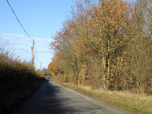
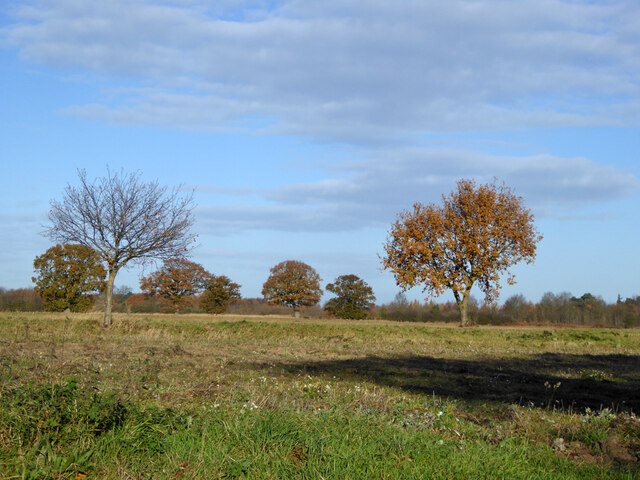
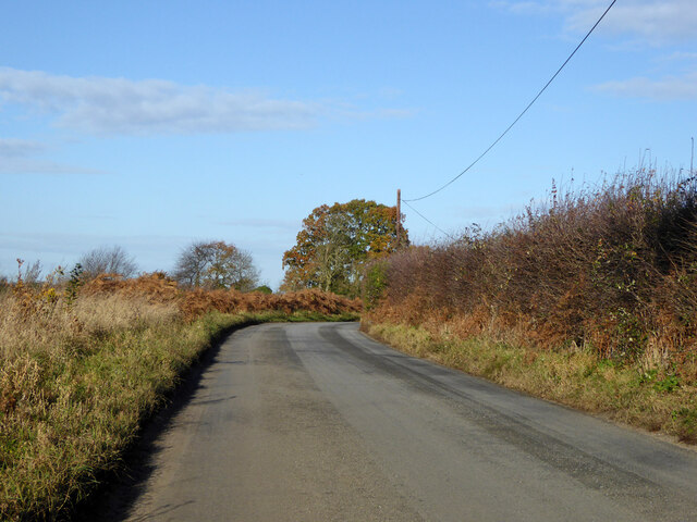
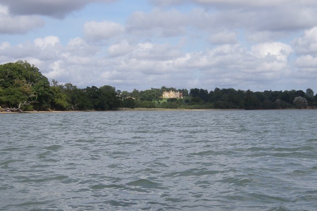
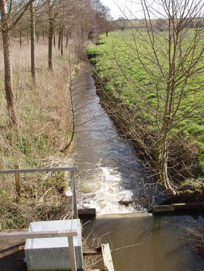
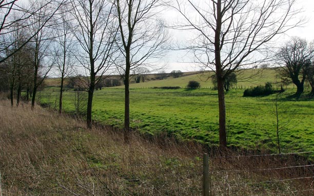
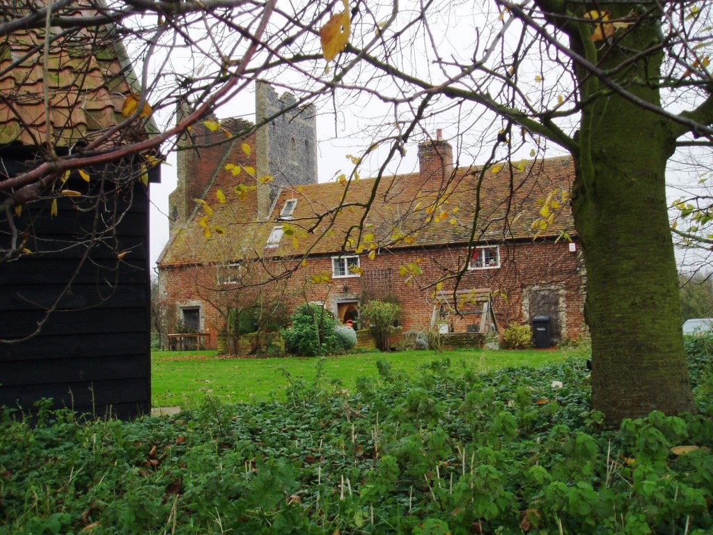
Long Wood is a dense forest located in the county of Suffolk, England. It spans an area of approximately 500 acres and is situated near the village of Long Melford. The forest is renowned for its natural beauty, with a diverse range of flora and fauna attracting nature enthusiasts and hikers alike.

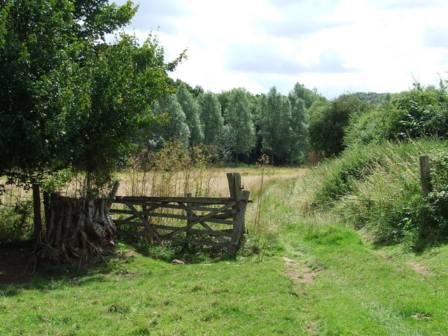
The woodland is predominantly composed of native broadleaf trees, including oak, beech, and ash, which form a dense canopy that provides shelter for a variety of wildlife. Long Wood is home to a wide array of bird species, such as woodpeckers, nightingales, and tawny owls, making it a popular destination for birdwatchers.

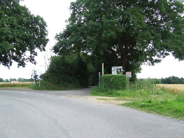
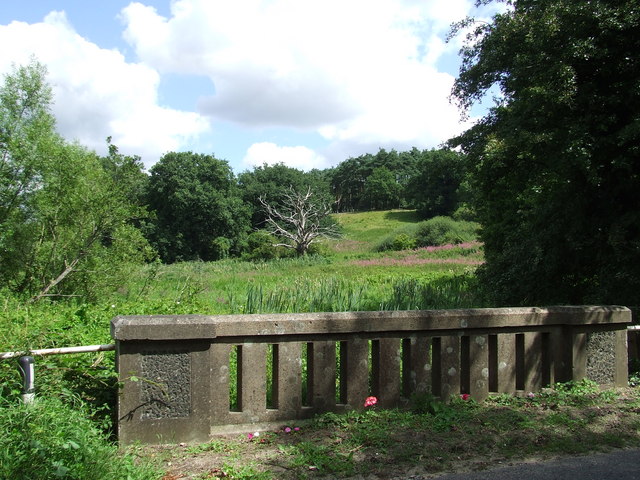
Visitors to Long Wood can enjoy a multitude of walking trails that wind through the forest, catering to different fitness levels and abilities. The paths offer breathtaking views of the surrounding landscape, including meadows and open fields, adding to the natural charm of the area.

Long Wood has a rich history dating back centuries, and evidence of human activity can be found within its depths. Archaeological remains, including Iron Age earthworks and Roman artifacts, have been discovered, providing insights into the area's past.

The forest is managed by a local conservation group, which ensures the preservation of its biodiversity and natural resources. Long Wood is a cherished gem in the Suffolk countryside, offering a tranquil escape for nature lovers and an opportunity to immerse oneself in the beauty of the great outdoors.

If you have any feedback on the listing, please let us know in the comments section below.

Long Wood Images

Images are sourced within 2km of 51.960925/1.108734 or Grid Reference TM1333. Thanks to Geograph Open Source API. All images are credited.

Bentley Lane From Stutton towards Bentley.
Bentley Lane
From Stutton towards Bentley.
Trees on drive to Argent Manor
Bentley Lane From Stutton towards Bentley.
Bentley Lane
From Stutton towards Bentley.
The Kings Head, Stutton A grade II listed building, 16th century or earlier with later alterations and additions.
The Kings Head, Stutton
A grade II listed building, 16th century or earlier with later alterations and additions.
Maritime woodland at Stutton in Suffolk On the north side of the Stour estuary ancient trees overhang salt water
Maritime woodland at Stutton in Suffolk
On the north side of the Stour estuary ancient trees overhang salt water
Stutton ness The ancient oaks of Stutton ness dip their boughs in the salty waters of the Stour estuary.
Stutton ness
The ancient oaks of Stutton ness dip their boughs in the salty waters of the Stour estuary.
Stutton Primary School Stutton C.E.V.C. primary school Stutton Suffolk on a very wet day.
Stutton Primary School
Stutton C.E.V.C. primary school Stutton Suffolk on a very wet day.
Kings Head Stutton Kings Head public house Stutton Suffolk.
Kings Head Stutton
Kings Head public house Stutton Suffolk.
The Bull The Bull public house Brantham suffolk.
The Bull
The Bull public house Brantham suffolk.
Brantham Court Brantham Court Brantham Suffolk.
Brantham Court
Brantham Court Brantham Suffolk.
Stream and weir from Brantham Bridge on the A137 Showing the stream in full flow after a long spell of wet weather
Stream and weir from Brantham Bridge on the A137
Showing the stream in full flow after a long spell of wet weather
Willow plantation and fields near Brantham Bridge
Sign at the end of a drive near Stutton You are warned not to drive down here - but a footpath passes close to Argent Manor from the end of Alton Lane if you choose to walk along it - and maybe take a photo for this neglected square (empty until 18/07/07)
Sign at the end of a drive near Stutton
You are warned not to drive down here - but a footpath passes close to Argent Manor from the end of Alton Lane if you choose to walk along it - and maybe take a photo for this neglected square (empty until 18/07/07)
Almshouses on Bentley Lane, Stutton These dwellings are right on the north-west edge of the village and just inside this square.  On the day of the photograph, they were bright with flowers and looking well-kempt.  The chimneys are particularly splendid, suggesting expense was not spared in the construction of these almshouses.
Almshouses on Bentley Lane, Stutton
These dwellings are right on the north-west edge of the village and just inside this square. On the day of the photograph, they were bright with flowers and looking well-kempt. The chimneys are particularly splendid, suggesting expense was not spared in the construction of these almshouses.
Smart new entrance to Roundwood Farm Right next to a bridle way, this seems to be a new access to Roundwood Farm, which is shown on the map as further north-west.  Not a cheap sign but a smart piece of stone lettering!
Smart new entrance to Roundwood Farm
Right next to a bridle way, this seems to be a new access to Roundwood Farm, which is shown on the map as further north-west. Not a cheap sign but a smart piece of stone lettering!
P.Y.O. Holly Farm Entrance to Holly Farm and pick your own near to Tattingstone Suffolk.
P.Y.O. Holly Farm
Entrance to Holly Farm and pick your own near to Tattingstone Suffolk.
To Stutton Bridge Looking south east along the public footpath between the A137 to B1080 near to Stutton, Suffolk.
To Stutton Bridge
Looking south east along the public footpath between the A137 to B1080 near to Stutton, Suffolk.
Dead Tree Dead tree as viewed from Stutton bridge on the B1080 near to Stutton, Suffolk.
Dead Tree
Dead tree as viewed from Stutton bridge on the B1080 near to Stutton, Suffolk.
Show me another place!

Long Wood is located at Grid Ref: TM1333 (Lat: 51.960925, Lng: 1.108734)

Administrative County: Suffolk

District: Babergh

Police Authority: Suffolk

What 3 Words

///dries.slope.blossom. Near Mistley, Essex

Related Wikis

Stutton, Suffolk

Stutton is a small village and a civil parish approximately seven miles south of Ipswich in Suffolk, United Kingdom, on the Shotley peninsula. The village...

Bradfield railway station

Bradfield railway station served the village of Bradfield in Essex. It was on the Manningtree to Harwich branch line, which is today known as The Mayflower...

Tattingstone Wonder

The Tattingstone Wonder is a folly at Tattingstone in Suffolk, England. Located some 6 miles (9.7 km) south of Ipswich the Tattingstone Wonder was originally...

Mistley

Mistley is a village and civil parish in the Tendring district of northeast Essex, England. It is around 11 miles northeast of Colchester and is east of...

Mistley railway station

Mistley railway station is on the Mayflower Line, a branch of the Great Eastern Main Line in the East of England, serving the village of Mistley, Essex...

Mistley Towers

Mistley Towers are the twin towers of the now demolished Church of St. Mary the Virgin at Mistley in Essex (sometimes known as Mistley Thorn(e) Church...

Alton Water

Alton Water (or Alton Reservoir) is a manmade reservoir located on the Shotley peninsula. It is the largest in Suffolk, with a perimeter of over 8 miles...

Royal Hospital School

The Royal Hospital School (usually shortened as "RHS" and historically nicknamed "The Cradle of the Navy") is a British co-educational fee-charging boarding...

Nearby Amenities

Located within 500m of 51.960925,1.108734
Note: sign here indicates that the designation changes from Bridleway to Public Footpath
Lat/Long: 51.9570525/1.1054147
The data included in this document is from www.openstreetmap.org. The data is made available under ODbL.

Have you been to Long Wood?

Leave your review of Long Wood below (or comments, questions and feedback).