Up Wood

Wood, Forest in Norfolk North Norfolk

England

Up Wood

Disused church at North Barningham
Disused church at North Barningham Credit: Raymond Knapman

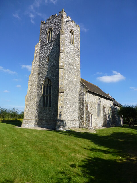
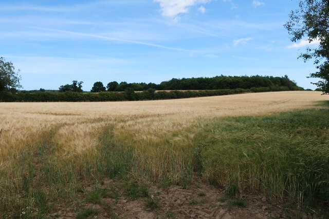
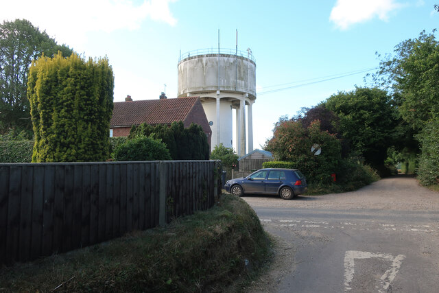
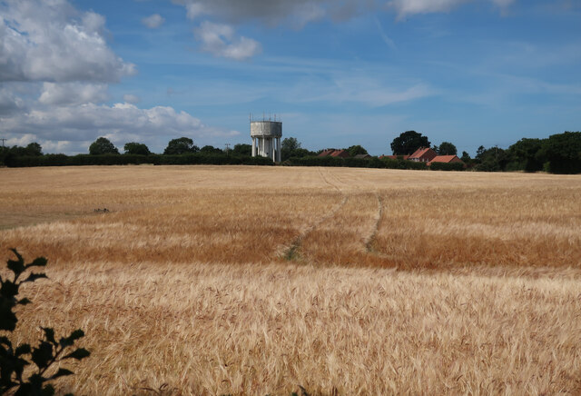
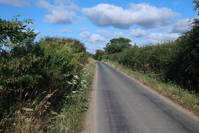
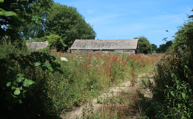
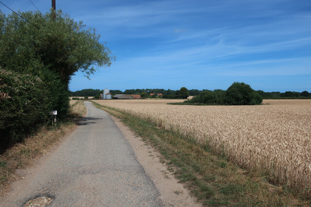
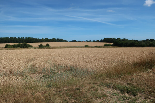
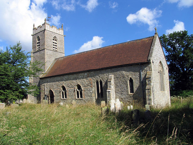
Up Wood is a charming village located in the county of Norfolk, England. Situated amidst the stunning Norfolk countryside, this small settlement is known for its picturesque woodlands and tranquil atmosphere. The village is nestled within the popular Thetford Forest, one of the largest lowland pine forests in the country.

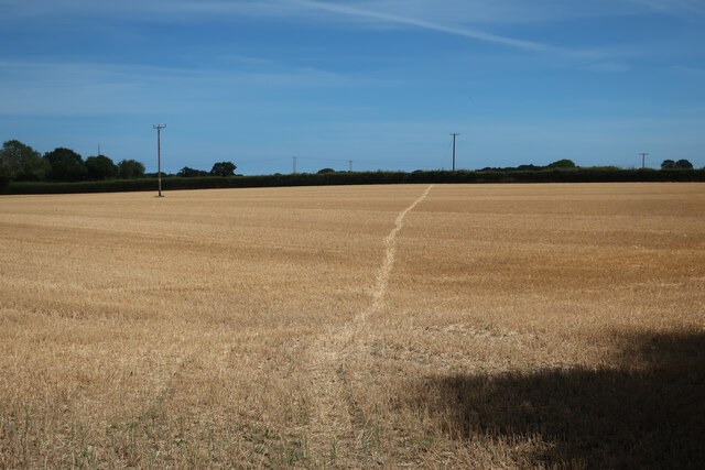
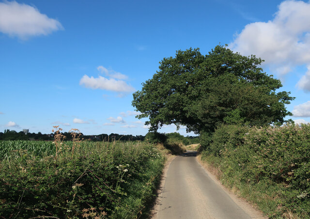
Up Wood is home to a close-knit community, consisting of a small number of houses surrounded by lush greenery. The area is a haven for nature enthusiasts, with an abundance of wildlife and numerous walking trails that allow visitors to explore the beautiful woodlands at their leisure. The forest is characterized by tall, majestic pine trees and a variety of plant species, creating a serene and peaceful environment.

The village offers a range of outdoor activities for visitors to enjoy. These include hiking, cycling, and birdwatching, with many rare bird species making their home in the forest. The extensive network of paths and trails provides opportunities for exploration and discovery, making it an ideal destination for nature lovers and outdoor enthusiasts.

Despite its secluded location, Up Wood is within easy reach of nearby towns and attractions. The vibrant market town of Thetford is just a short drive away, offering a range of amenities such as shops, restaurants, and historical sites. The area also boasts a rich history, with the ruins of the 12th-century Thetford Priory nearby, attracting history buffs from far and wide.

Overall, Up Wood in Norfolk offers a peaceful retreat from the hustle and bustle of city life, providing visitors with a chance to immerse themselves in the natural beauty of the surrounding woodlands.

If you have any feedback on the listing, please let us know in the comments section below.

Up Wood Images

Images are sourced within 2km of 52.887561/1.1747264 or Grid Reference TG1336. Thanks to Geograph Open Source API. All images are credited.

Disused church at North Barningham
Baconsthorpe Castle Outer Gatehouse <span class="nowrap"><a title="https://historicengland.org.uk/listing/the-list/list-entry/1013093?section=official-listing" rel="nofollow ugc noopener" href="https://historicengland.org.uk/listing/the-list/list-entry/1013093?section=official-listing">Link</a><img style="margin-left:2px;" alt="External link" title="External link - shift click to open in new window" src="https://s1.geograph.org.uk/img/external.png" width="10" height="10"/></span>
Baconsthorpe Castle Outer Gatehouse
Baconsthorpe Castle and Moat <span class="nowrap"><a title="https://historicengland.org.uk/listing/the-list/list-entry/1013093?section=official-listing" rel="nofollow ugc noopener" href="https://historicengland.org.uk/listing/the-list/list-entry/1013093?section=official-listing">Link</a><img style="margin-left:2px;" alt="External link" title="External link - shift click to open in new window" src="https://s1.geograph.org.uk/img/external.png" width="10" height="10"/></span>
Baconsthorpe Castle and Moat
Baconsthorpe Castle Inner Gatehouse and Moat <span class="nowrap"><a title="https://historicengland.org.uk/listing/the-list/list-entry/1013093?section=official-listing" rel="nofollow ugc noopener" href="https://historicengland.org.uk/listing/the-list/list-entry/1013093?section=official-listing">Link</a><img style="margin-left:2px;" alt="External link" title="External link - shift click to open in new window" src="https://s1.geograph.org.uk/img/external.png" width="10" height="10"/></span>
Baconsthorpe Castle Inner Gatehouse and Moat
Barley field by Cherry Tree Road
Plumstead Hall Farm
Plumstead Hall Farm
Water tower in Baconsthorpe
Barley field by Baconsthorpe Looking towards the water tower.
Barley field by Baconsthorpe
Looking towards the water tower.
Footpath through stubble field
Rectory Road
Rectory Road
Solar farm near Bodham Hill
Field by New Road
Field by New Road
Solar farm near Bodham Hill
Buildings by Rectory Road See <a href="https://www.geograph.org.uk/photo/3938108">TG1338 : RAF West Beckham radar station (C Site)</a> for more details.
Buildings by Rectory Road
Road to Baconsthorpe
Access track to Baconsthorpe Castle
Fields near Baconsthorpe Castle
Baconsthorpe Castle gatehouse fenced off The ruins have been deemed to need repair work and are fenced off for safety until that is completed. See <a href="https://www.geograph.org.uk/photo/1043155">TG1238 : The gatehouses, Baconsthorpe Castle, Baconsthorpe</a> for more details.
Baconsthorpe Castle gatehouse fenced off
The ruins have been deemed to need repair work and are fenced off for safety until that is completed. See TG1238 : The gatehouses, Baconsthorpe Castle, Baconsthorpe for more details.
Show me another place!

Up Wood is located at Grid Ref: TG1336 (Lat: 52.887561, Lng: 1.1747264)

Administrative County: Norfolk

District: North Norfolk

Police Authority: Norfolk

What 3 Words

///unsigned.maximum.reprints. Near Sheringham, Norfolk

Nearby Locations

Up Wood Ruse's Plantation

Related Wikis

North Norfolk (UK Parliament constituency)

North Norfolk is a constituency represented in the House of Commons of the UK Parliament since 2019 by Duncan Baker, a Conservative. == Constituency... ==
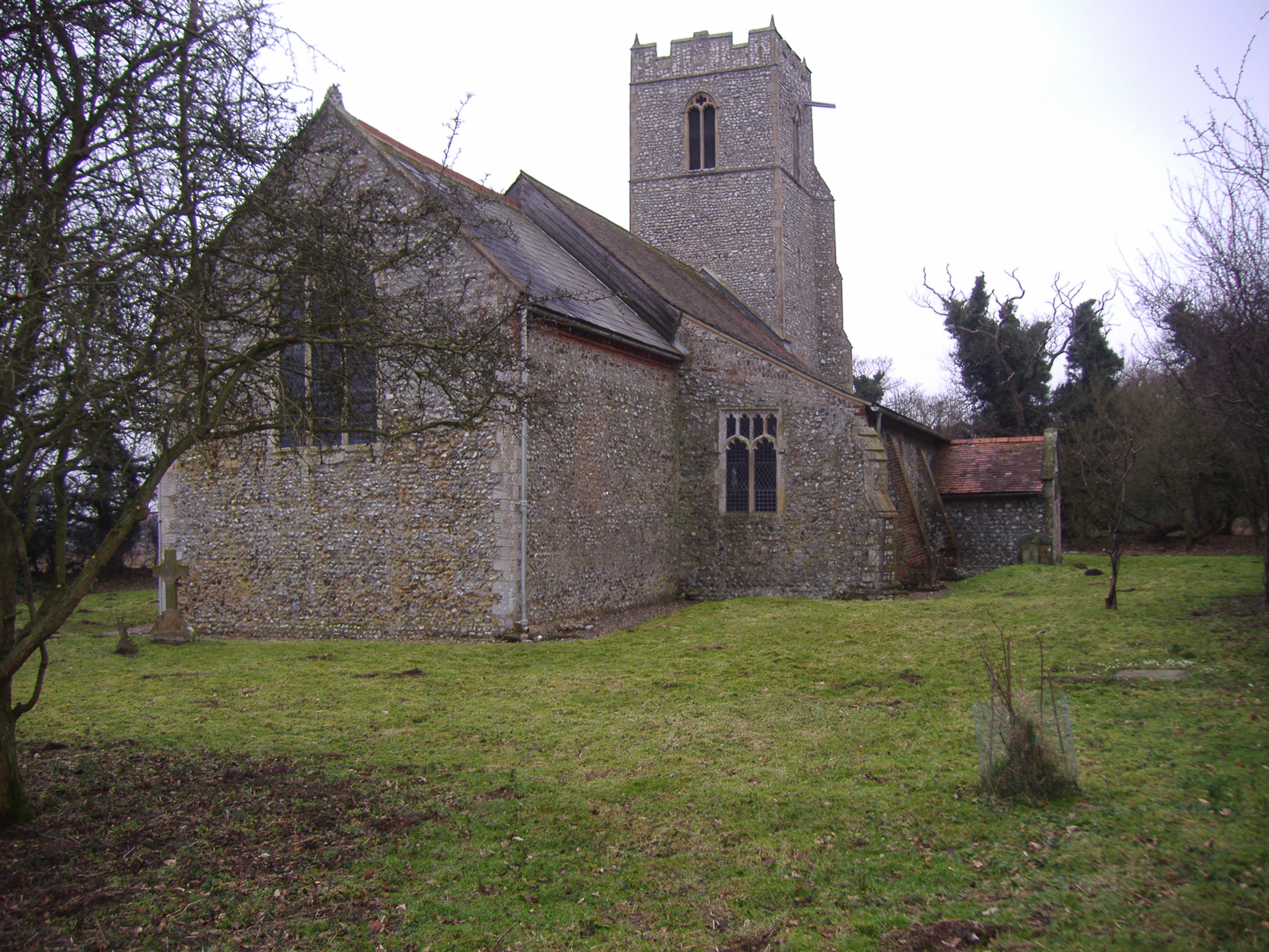
North Barningham

North Barningham is a hamlet within the civil parish of Gresham in the English county of Norfolk. The hamlet is 7 miles (11 km) south-west of Cromer, 23...

Baconsthorpe

Baconsthorpe is a village and civil parish in the North Norfolk district of the English county of Norfolk. It is 4 miles (6.4 km) south-east of Holt, 5...
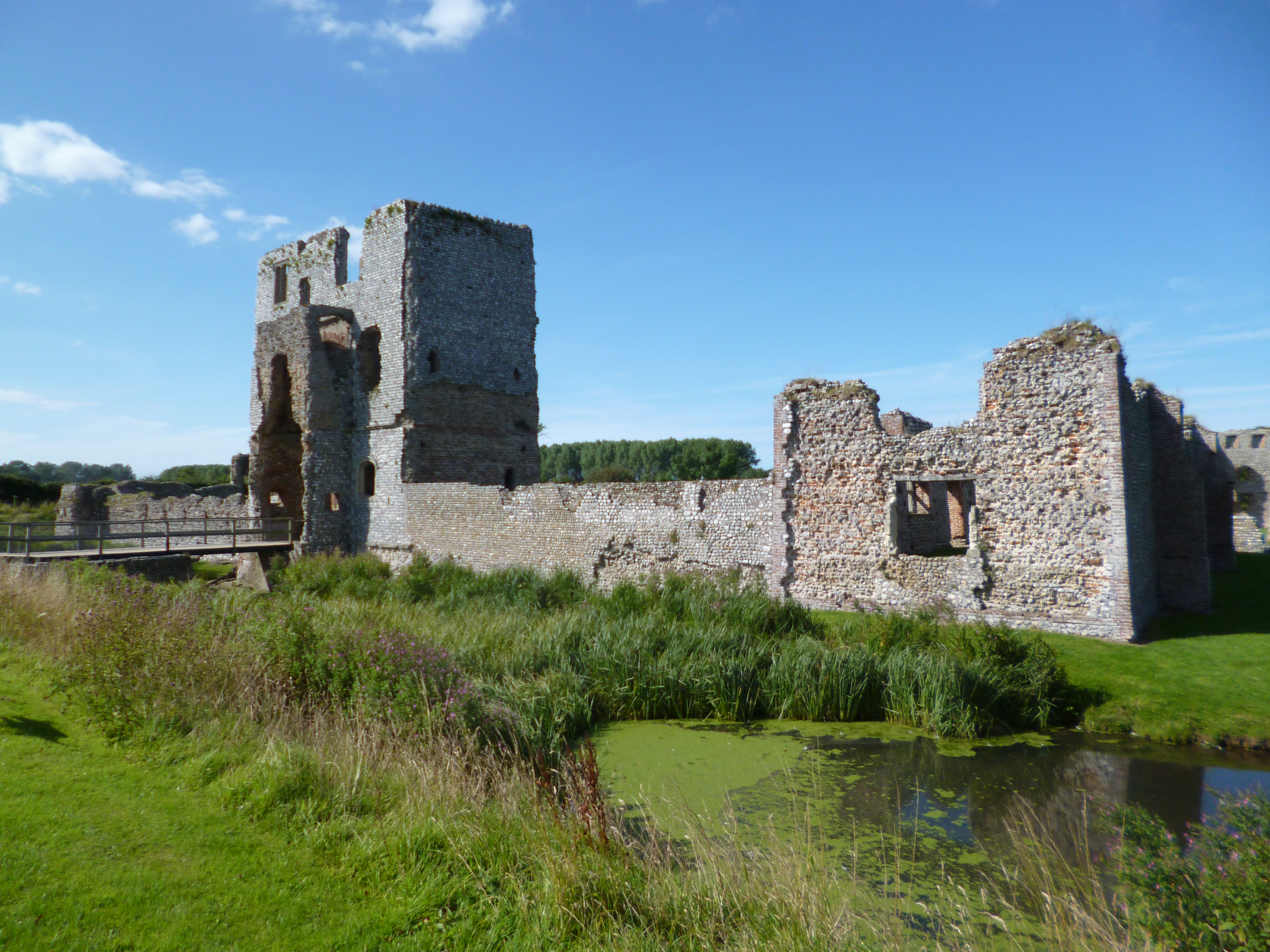
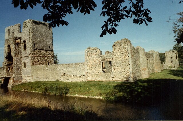
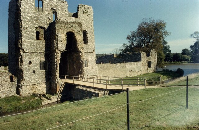
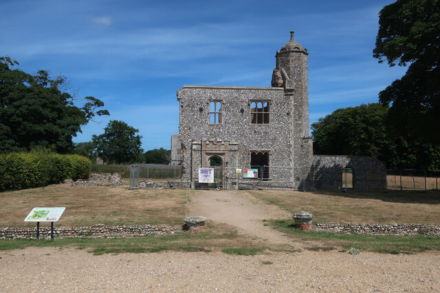
Baconsthorpe Castle

Baconsthorpe Castle, historically known as Baconsthorpe Hall, is a ruined, fortified manor house near the village of Baconsthorpe, Norfolk, England. It...

RAF West Beckham

Royal Air Force Station West Beckham, commonly known as RAF West Beckham, is a former Chain Home radar station controlled by the Royal Air Force (RAF)...
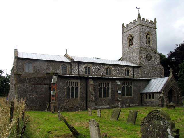
Plumstead, Norfolk

Plumstead is a village and a civil parish in the English county of Norfolk. The village is 19.7 miles (31.7 km) north north west of Norwich, 9.5 miles...

West Beckham

West Beckham is a village and a civil parish in the English county of Norfolk The village is 6.1 miles (9.8 km) west south west of Cromer, 25.3 miles...

Matlaske

Matlaske is a village and a civil parish in the English county of Norfolk. The village is 21.6 miles (34.8 km) North-north-west of Norwich, 9.3 miles...

Nearby Amenities

Located within 500m of 52.887561,1.1747264
Power: pole
Lat/Long: 52.8900416/1.169199
Power: pole
Lat/Long: 52.8891871/1.1692849
Power: pole
Lat/Long: 52.8883359/1.1693895
Power: pole
Lat/Long: 52.8875316/1.1694834
Power: pole
Lat/Long: 52.8867288/1.1696121
Power: pole
Lat/Long: 52.885884/1.1697489
Power: pole
Lat/Long: 52.8856089/1.1697851
Power: pole
Lat/Long: 52.8845908/1.1699447
Give Way
Lat/Long: 52.8911521/1.1710829
Give Way
Lat/Long: 52.8910943/1.1712167
Give Way
Lat/Long: 52.8910365/1.1712805
Give Way
Lat/Long: 52.8910798/1.1713223
Power: pole
Lat/Long: 52.8876481/1.1684883
The data included in this document is from www.openstreetmap.org. The data is made available under ODbL.

Have you been to Up Wood?

Leave your review of Up Wood below (or comments, questions and feedback).