The Rough

Wood, Forest in Suffolk Babergh

England

The Rough

Boat on the River Stour A sailboat on the River Stour at low tide.
Boat on the River Stour Credit: Pebble

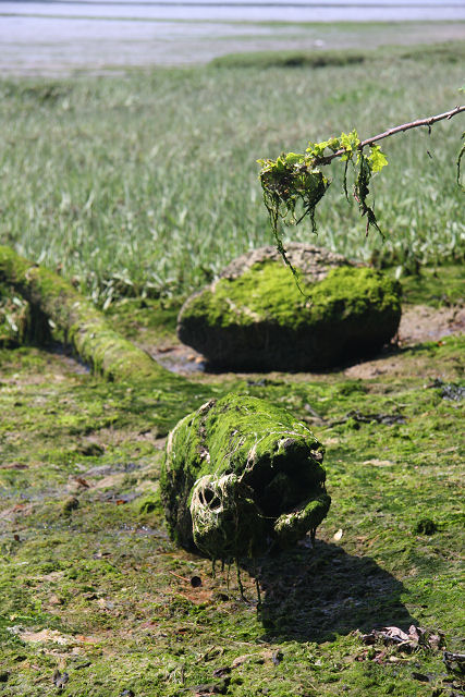
The Rough, located in Suffolk, is a picturesque wood and forest area that spans over several acres, renowned for its natural beauty and tranquil atmosphere. It is a popular destination for nature enthusiasts, hikers, and those seeking a peaceful retreat from the hustle and bustle of everyday life.

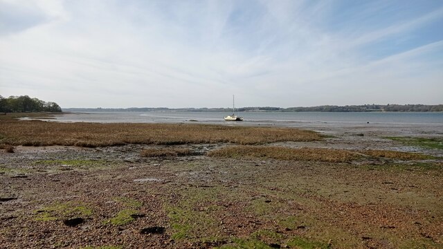
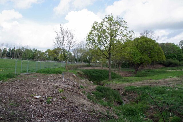
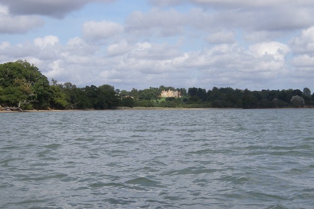
The Rough is characterized by its dense woodland, consisting primarily of native tree species such as oak, beech, and birch. The trees create a dense canopy, allowing only filtered sunlight to penetrate through, creating a mesmerizing play of light and shadow on the forest floor. The forest is also home to a variety of wildlife, including deer, foxes, and a wide range of bird species, making it a haven for wildlife enthusiasts and birdwatchers.

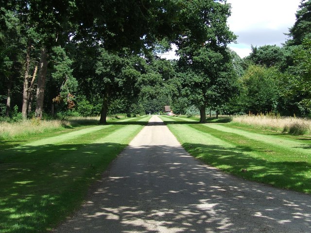
Numerous walking trails wind their way through the forest, offering visitors the opportunity to explore and immerse themselves in the natural surroundings. These trails vary in length and difficulty, catering to individuals of all fitness levels. Along the paths, visitors may discover babbling brooks, charming hidden clearings, and even ancient trees with gnarled trunks that have stood the test of time.

The Rough is also known for its vibrant displays of wildflowers during the spring and summer months. Bluebells, foxgloves, and primroses carpet the forest floor, creating a stunning tapestry of colors. This natural spectacle attracts not only local visitors but also photographers and artists seeking inspiration from the beauty of nature.

In conclusion, The Rough in Suffolk is a captivating woodland and forest area that offers visitors a chance to reconnect with nature, explore scenic trails, and witness the diverse wildlife that calls this place home. It is a true gem for nature lovers and a sanctuary of tranquility in the heart of Suffolk.

If you have any feedback on the listing, please let us know in the comments section below.
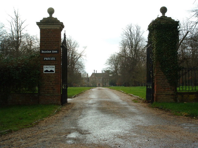
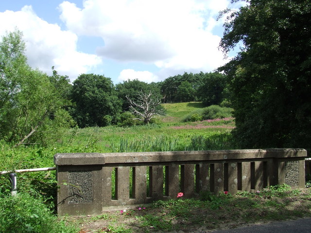
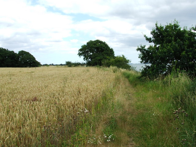
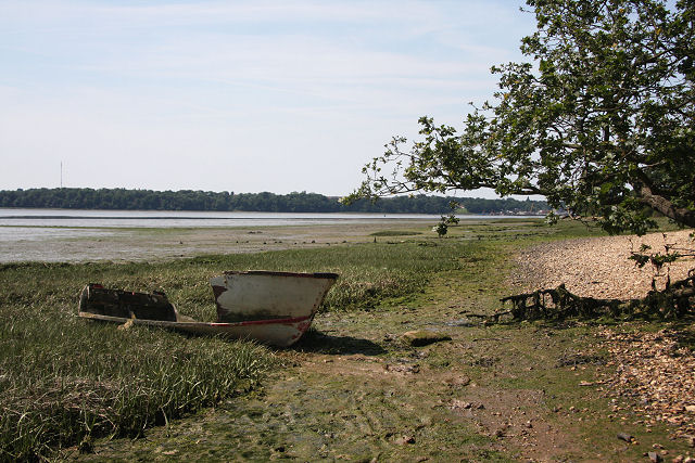
The Rough Images

Images are sourced within 2km of 51.955352/1.1103133 or Grid Reference TM1333. Thanks to Geograph Open Source API. All images are credited.

Boat on the River Stour A sailboat on the River Stour at low tide.
Boat on the River Stour
A sailboat on the River Stour at low tide.
Stream in New Mistley The stream ends up in the Landooze Rill in the Stour. I suspect the land behind the fence will soon be re-developed.
Stream in New Mistley
The stream ends up in the Landooze Rill in the Stour. I suspect the land behind the fence will soon be re-developed.
Maritime woodland at Stutton in Suffolk On the north side of the Stour estuary ancient trees overhang salt water
Maritime woodland at Stutton in Suffolk
On the north side of the Stour estuary ancient trees overhang salt water
Stutton ness The ancient oaks of Stutton ness dip their boughs in the salty waters of the Stour estuary.
Stutton ness
The ancient oaks of Stutton ness dip their boughs in the salty waters of the Stour estuary.
Railway Crossing Nether Hall is the only place on the other side of this crossing, which is the northern side.
Railway Crossing
Nether Hall is the only place on the other side of this crossing, which is the northern side.
Kings Head Stutton Kings Head public house Stutton Suffolk.
Kings Head Stutton
Kings Head public house Stutton Suffolk.
Brantham Court Brantham Court Brantham Suffolk.
Brantham Court
Brantham Court Brantham Suffolk.
Dead Tree Dead tree as viewed from Stutton bridge on the B1080 near to Stutton, Suffolk.
Dead Tree
Dead tree as viewed from Stutton bridge on the B1080 near to Stutton, Suffolk.
Well Kept Drive A well kept drive from Stutton Park near to Stutton Suffolk.
Well Kept Drive
A well kept drive from Stutton Park near to Stutton Suffolk.
Not on the 1:50:000 This small spit of shore is not marked on the 1:50:000 for this square but is on the 1:25:000 and on the ground.
Not on the 1:50:000
This small spit of shore is not marked on the 1:50:000 for this square but is on the 1:25:000 and on the ground.
Suffolk Coastal & Heaths Path Looking east along the Suffolk Coastal & Heaths path near to Cattawade Suffolk.
Suffolk Coastal & Heaths Path
Looking east along the Suffolk Coastal & Heaths path near to Cattawade Suffolk.
Stutton Mill Stutton Mill on the Suffolk Coastal & Heaths Path near to Stutton Suffolk.
Stutton Mill
Stutton Mill on the Suffolk Coastal & Heaths Path near to Stutton Suffolk.
Footpath Junction Footpath Junction of the Suffolk Coastal & Heaths Path and Newmill Lane near to Cattawade Suffolk.
Footpath Junction
Footpath Junction of the Suffolk Coastal & Heaths Path and Newmill Lane near to Cattawade Suffolk.
Wildfowling Sign seen at the edge of Seafield Bay of the river Stour near to Cattawade Suffolk.
Wildfowling
Sign seen at the edge of Seafield Bay of the river Stour near to Cattawade Suffolk.
Down by the Stour nr Nether Hall When the wind blows from the East its cold alongside the Stour.
Down by the Stour nr Nether Hall
When the wind blows from the East its cold alongside the Stour.
Stutton saltings The saltmarsh on the north bank of the River Stour is being eroded rapidly.  Here, near Stutton Mill a section, about 10 metres wide, remains. Elsewhere along the banks the saltings have disappeared completely.
Stutton saltings
The saltmarsh on the north bank of the River Stour is being eroded rapidly. Here, near Stutton Mill a section, about 10 metres wide, remains. Elsewhere along the banks the saltings have disappeared completely.
Old log or dead crocodile? The end of this weed-encrusted log on the bank of the River Stour looks just like the head of some animal (to me, at least).
Old log or dead crocodile?
The end of this weed-encrusted log on the bank of the River Stour looks just like the head of some animal (to me, at least).
Derelict dinghy This old dinghy has been either left, or washed up, on the north bank of the River Stour, near Stutton Mill.
Derelict dinghy
This old dinghy has been either left, or washed up, on the north bank of the River Stour, near Stutton Mill.
Show me another place!

The Rough is located at Grid Ref: TM1333 (Lat: 51.955352, Lng: 1.1103133)

Administrative County: Suffolk

District: Babergh

Police Authority: Suffolk

What 3 Words

///displays.force.tungsten. Near Mistley, Essex

Related Wikis

Bradfield railway station

Bradfield railway station served the village of Bradfield in Essex. It was on the Manningtree to Harwich branch line, which is today known as The Mayflower...

Stutton, Suffolk

Stutton is a small village and a civil parish approximately seven miles south of Ipswich in Suffolk, United Kingdom, on the Shotley peninsula. The village...

Mistley

Mistley is a village and civil parish in the Tendring district of northeast Essex, England. It is around 11 miles northeast of Colchester and is east of...

Mistley railway station

Mistley railway station is on the Mayflower Line, a branch of the Great Eastern Main Line in the East of England, serving the village of Mistley, Essex...

Mistley Towers

Mistley Towers are the twin towers of the now demolished Church of St. Mary the Virgin at Mistley in Essex (sometimes known as Mistley Thorn(e) Church...

Bradfield, Essex

Bradfield is a village and civil parish in Essex, England. It is located about 3 miles (5 km) east of Manningtree and is 31 miles (50 km) northeast from...

Wrabness Nature Reserve

Wrabness Nature Reserve is a 27 hectare Local Nature Reserve on the south bank of the River Stour, west of Wrabness in Essex. It is managed by the Essex...

Tattingstone Wonder

The Tattingstone Wonder is a folly at Tattingstone in Suffolk, England. Located some 6 miles (9.7 km) south of Ipswich the Tattingstone Wonder was originally...

Nearby Amenities

Located within 500m of 51.955352,1.1103133
Note: sign here indicates that the designation changes from Bridleway to Public Footpath
Lat/Long: 51.9570525/1.1054147
The data included in this document is from www.openstreetmap.org. The data is made available under ODbL.

Have you been to The Rough?

Leave your review of The Rough below (or comments, questions and feedback).