Syngate Wood
Wood, Forest in Kent Canterbury
England
Syngate Wood

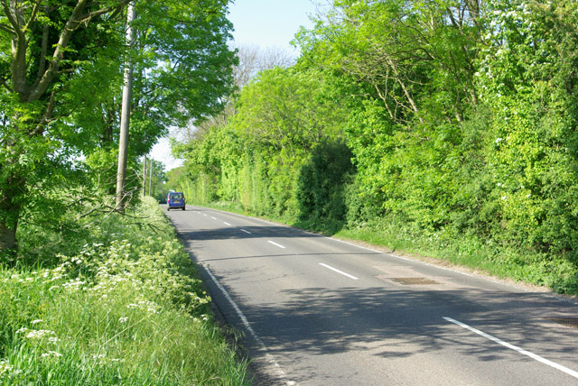
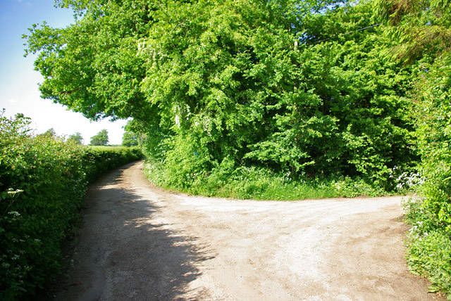
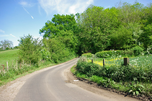
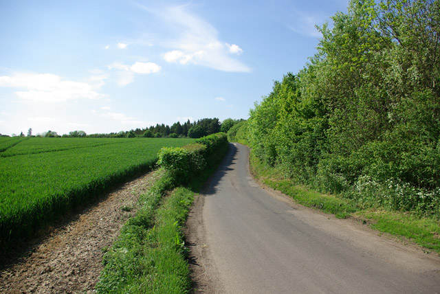
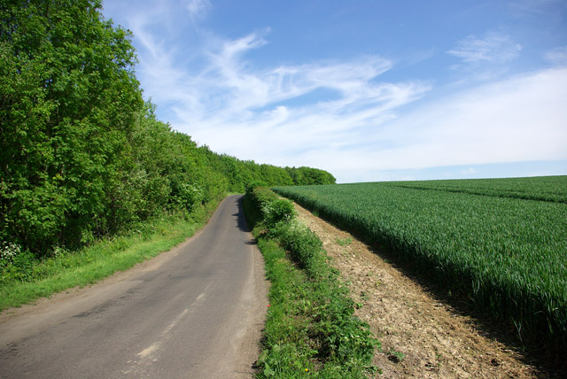
Syngate Wood, located in Kent, England, is a picturesque forest known for its natural beauty and serene atmosphere. Covering an area of approximately 100 acres, the wood is a popular destination for nature enthusiasts, hikers, and birdwatchers.
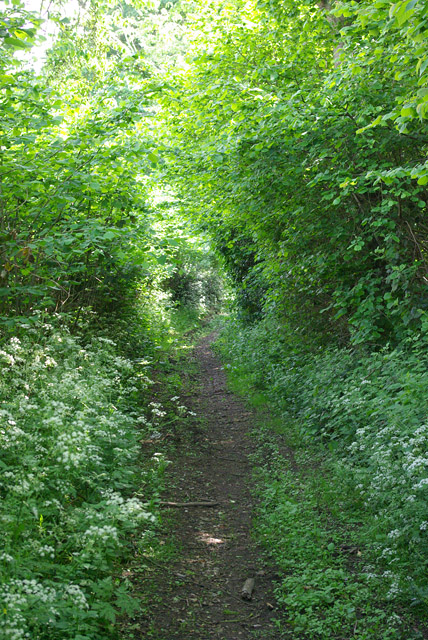
The forest is predominantly composed of a variety of deciduous trees, including oak, beech, and ash, which create a dense canopy overhead. The thick undergrowth of ferns, wildflowers, and mosses adds to the wood's enchanting ambiance. The diverse flora provides a habitat for various wildlife species, including deer, foxes, and numerous bird species.
Trails and footpaths crisscross the woodland, allowing visitors to explore its hidden corners and discover its hidden treasures. These well-maintained paths offer stunning vistas and are suitable for both leisurely strolls and more challenging hikes. The wood also boasts a small lake, where visitors can enjoy picnics or simply sit and admire the tranquil surroundings.
Throughout the year, the forest undergoes beautiful seasonal transformations. In spring, the wood is carpeted with colorful wildflowers, and the air is filled with the songs of nesting birds. Summer brings vibrant shades of green, offering shade and respite from the heat. Autumn paints the wood with a palette of fiery reds, oranges, and yellows as the leaves change color. Winter covers the forest in a blanket of snow, creating a serene and magical landscape.
Syngate Wood is a cherished natural gem in Kent, attracting visitors from near and far who seek solace in its peaceful embrace and marvel at the wonders of nature.
If you have any feedback on the listing, please let us know in the comments section below.
Syngate Wood Images
Images are sourced within 2km of 51.192457/1.0527497 or Grid Reference TR1348. Thanks to Geograph Open Source API. All images are credited.


Syngate Wood is located at Grid Ref: TR1348 (Lat: 51.192457, Lng: 1.0527497)
Administrative County: Kent
District: Canterbury
Police Authority: Kent
What 3 Words
///sunroof.flexibly.minivans. Near Barham, Kent
Nearby Locations
Related Wikis

Yockletts Bank
Yockletts Bank is a 25.4-hectare (63-acre) biological Site of Special Scientific Interest west of Stelling Minnis in Kent. It is managed by KWT and is...

Stelling Minnis
Stelling Minnis is a village and civil parish in the Folkestone and Hythe district in Kent, England. The village lies 13 kilometres (8 mi) to the south...

Bossingham
Bossingham is a village in the parish of Upper Hardres and the district of the City of Canterbury, Kent, England. It is located about five miles (8 km...
Davison's Mill, Stelling Minnis
Davison's Mill, also known as Stelling Minnis Windmill, is a Grade I listed smock mill in Stelling Minnis, Kent, England that was built in 1866. It was...

Waltham, Kent
Waltham is a village and civil parish 7 miles (11 km) southwest of Canterbury in Kent, England. == History == The village was once associated with the...

Lynsore Bottom
Lynsore Bottom is a 70.6-hectare (174-acre) biological Site of Special Scientific Interest north of Folkestone in Kent.These coppice with standards woods...

Spong Wood
Spong Wood is a 18-hectare (44-acre) nature reserve west of Stelling Minnis in Kent. It is managed by Kent Wildlife Trust.Common trees in this coppiced...

Anvil Green
Anvil Green is a small settlement located near Waltham in Kent, England, about nine miles (14.4 km) north east of Ashford. == External links == Media...
Nearby Amenities
Located within 500m of 51.192457,1.0527497Have you been to Syngate Wood?
Leave your review of Syngate Wood below (or comments, questions and feedback).