Cockshott Wood
Wood, Forest in Kent Canterbury
England
Cockshott Wood

Cockshott Wood is a picturesque woodland located in the county of Kent, England. Situated near the village of Cockshott, this woodland is a popular destination for locals and tourists alike who seek a tranquil natural retreat.
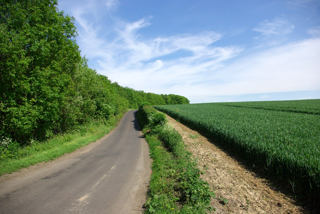
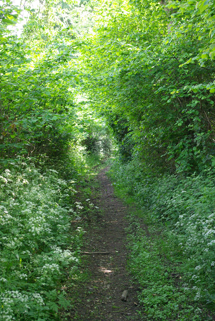
Covering an area of approximately 50 acres, Cockshott Wood is characterized by its dense and diverse vegetation. The woodland is predominantly composed of deciduous trees such as oak, beech, and ash, which provide a vibrant display of colors throughout the seasons. The rich undergrowth is adorned with a variety of wildflowers, including bluebells, primroses, and wood anemones, adding to the visual appeal of the area.
Cockshott Wood is home to a wide range of wildlife, making it an ideal spot for nature enthusiasts. Birdwatchers can expect to spot species such as woodpeckers, owls, and various songbirds, while the more observant visitor may be lucky enough to catch a glimpse of deer, foxes, or badgers among the trees. The wood's diverse ecosystem also supports a myriad of insects and small mammals.
The woodland offers several walking trails, allowing visitors to explore its natural beauty at their own pace. These paths wind through the trees, providing stunning views and opportunities for peaceful reflection. The wood is well-maintained, with clear signage and seating areas along the way.
In summary, Cockshott Wood offers a serene and captivating experience for nature enthusiasts. With its stunning flora and fauna, well-maintained trails, and peaceful ambiance, this woodland is a hidden gem in the heart of Kent.
If you have any feedback on the listing, please let us know in the comments section below.
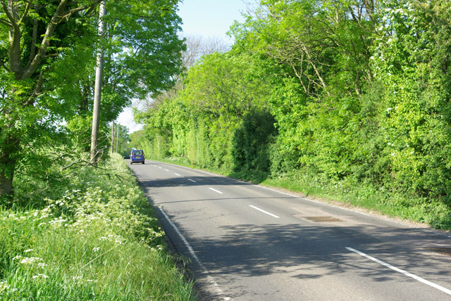
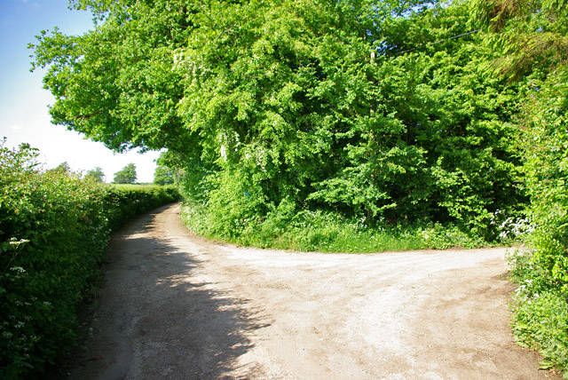
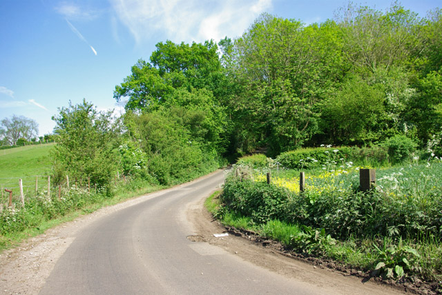
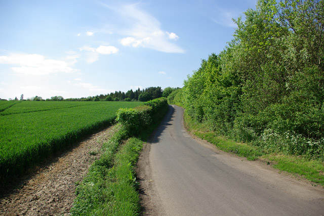
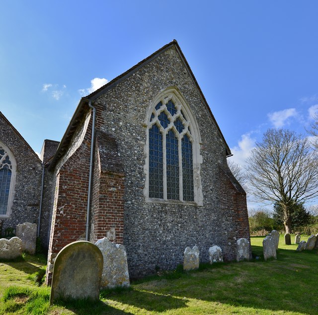
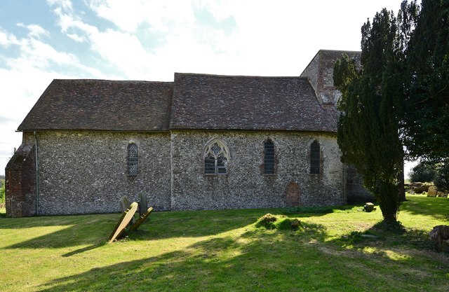
Cockshott Wood Images
Images are sourced within 2km of 51.199565/1.0533487 or Grid Reference TR1348. Thanks to Geograph Open Source API. All images are credited.


Cockshott Wood is located at Grid Ref: TR1348 (Lat: 51.199565, Lng: 1.0533487)
Administrative County: Kent
District: Canterbury
Police Authority: Kent
What 3 Words
///letters.outnumber.reference. Near Chartham, Kent
Nearby Locations
Related Wikis

Yockletts Bank
Yockletts Bank is a 25.4-hectare (63-acre) biological Site of Special Scientific Interest west of Stelling Minnis in Kent. It is managed by KWT and is...

Bossingham
Bossingham is a village in the parish of Upper Hardres and the district of the City of Canterbury, Kent, England. It is located about five miles (8 km...

Stelling Minnis
Stelling Minnis is a village and civil parish in the Folkestone and Hythe district in Kent, England. The village lies 13 kilometres (8 mi) to the south...

Waltham, Kent
Waltham is a village and civil parish 7 miles (11 km) southwest of Canterbury in Kent, England. == History == The village was once associated with the...
Nearby Amenities
Located within 500m of 51.199565,1.0533487Have you been to Cockshott Wood?
Leave your review of Cockshott Wood below (or comments, questions and feedback).