Flagmeadow Plantation
Wood, Forest in Norfolk Broadland
England
Flagmeadow Plantation
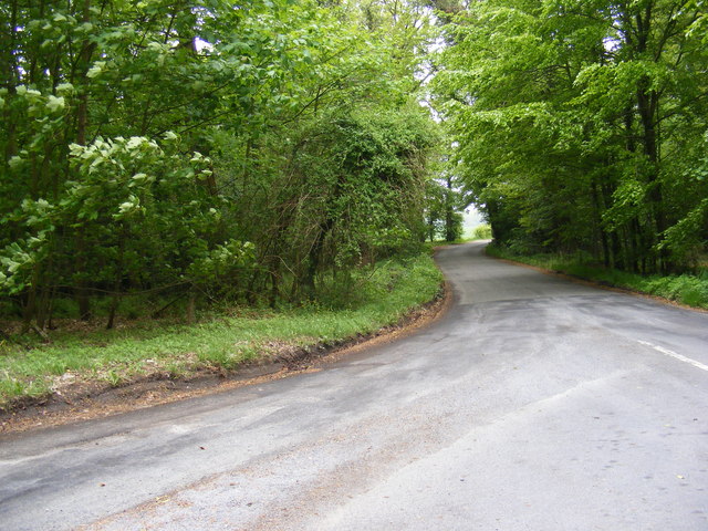
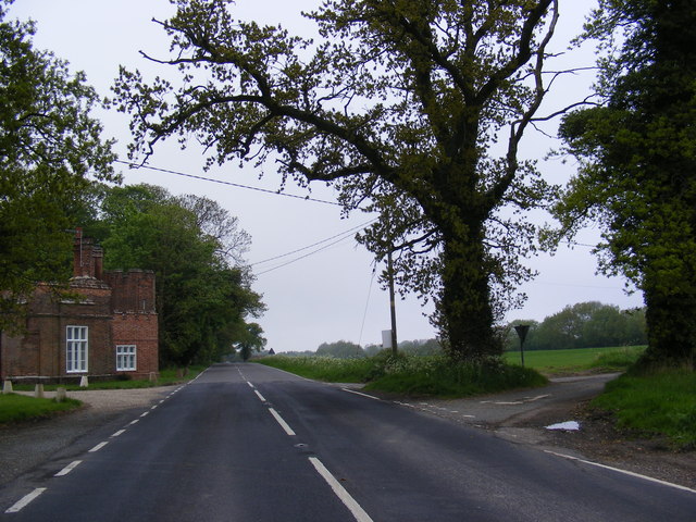
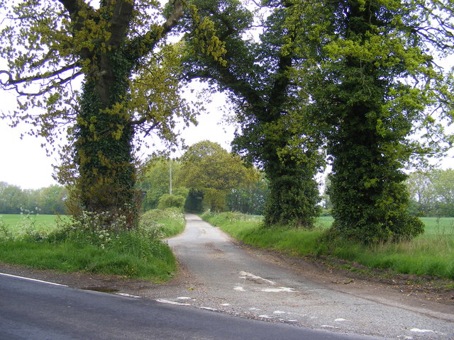
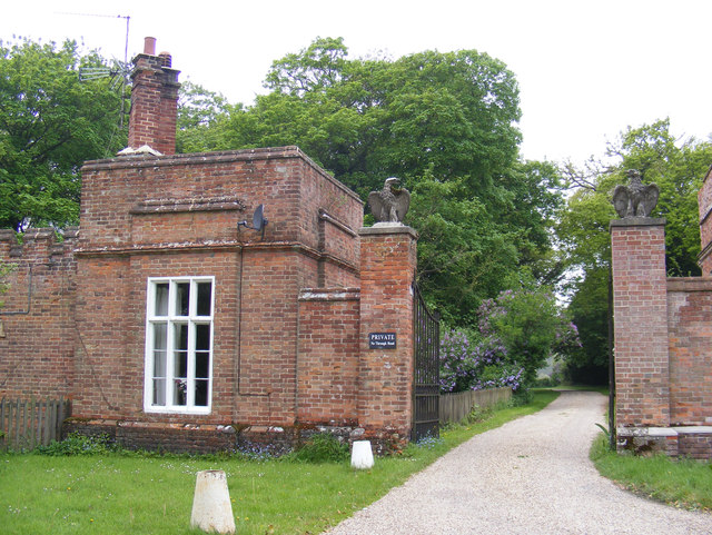
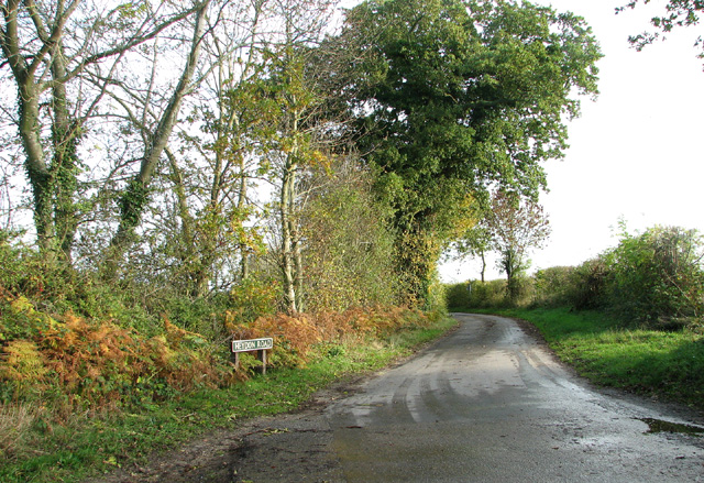
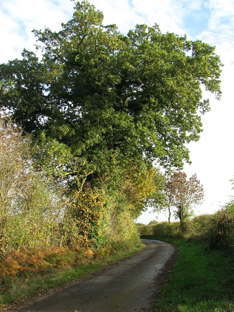
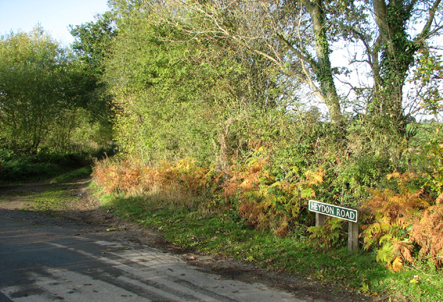
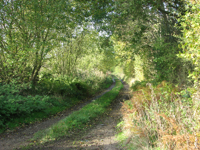
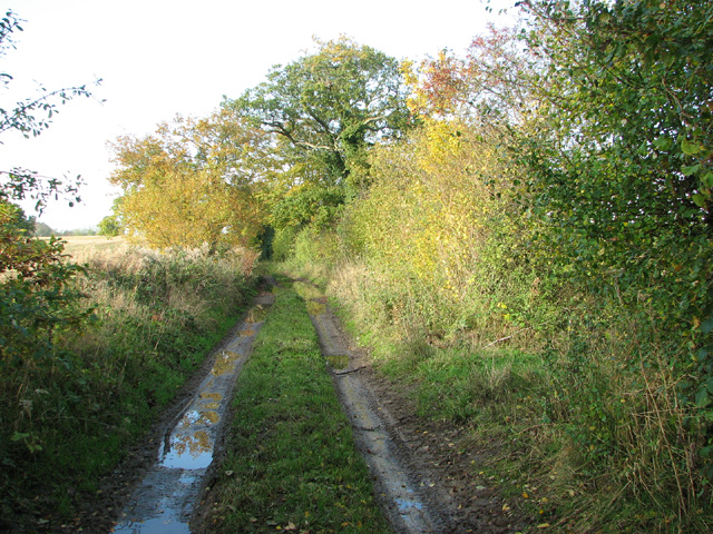
Flagmeadow Plantation is a picturesque woodland located in Norfolk, England. Situated in the heart of the county, this sprawling plantation covers a vast area of lush greenery, making it a haven for nature enthusiasts and outdoor lovers alike.
The plantation is predominantly made up of a diverse range of trees, including oak, beech, and pine, which create a dense and vibrant forest canopy. This diverse ecosystem supports a myriad of wildlife, such as deer, foxes, and a variety of bird species, making it an ideal spot for wildlife observation and birdwatching.
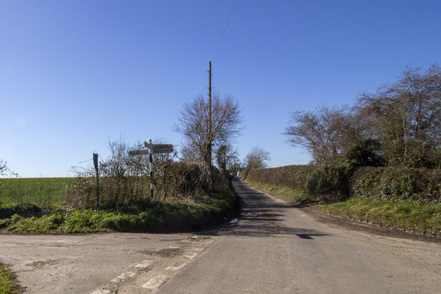
Flagmeadow Plantation offers visitors a range of recreational activities, including hiking, picnicking, and nature walks. There are well-marked trails that meander through the forest, providing ample opportunities to explore the natural beauty of the surroundings. The plantation is also equipped with picnic areas, allowing visitors to relax and enjoy a meal amidst the tranquility of the woodland.
Furthermore, Flagmeadow Plantation is committed to conservation and sustainability. The woodland is managed using environmentally friendly practices to preserve its natural beauty and protect the local flora and fauna. The plantation also actively engages in tree planting initiatives, promoting the growth of new trees and the expansion of the woodland area.
Overall, Flagmeadow Plantation is a hidden gem in Norfolk, offering a serene and immersive experience in the midst of nature. Whether it is for a leisurely stroll, a family picnic, or an opportunity to observe wildlife, this woodland provides a rejuvenating escape from the hustle and bustle of urban life.
If you have any feedback on the listing, please let us know in the comments section below.
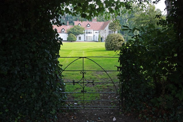
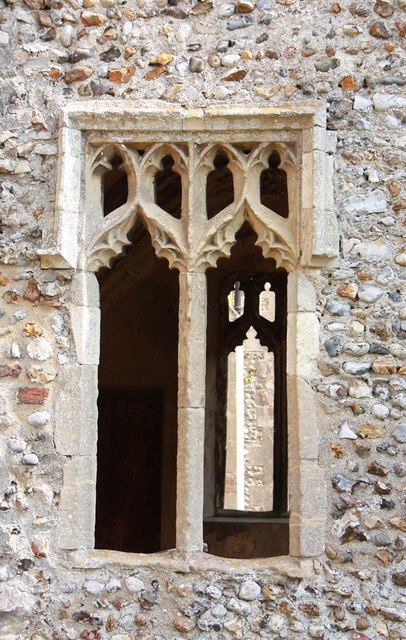
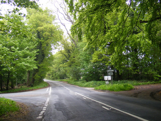
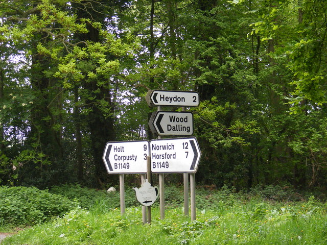
Flagmeadow Plantation Images
Images are sourced within 2km of 52.807189/1.1643075 or Grid Reference TG1327. Thanks to Geograph Open Source API. All images are credited.

Flagmeadow Plantation is located at Grid Ref: TG1327 (Lat: 52.807189, Lng: 1.1643075)
Administrative County: Norfolk
District: Broadland
Police Authority: Norfolk
What 3 Words
///mixed.spark.relocated. Near Cawston, Norfolk
Nearby Locations
Related Wikis

Oulton, Norfolk
Oulton is a village and civil parish in Norfolk, England. Nearby towns are Reepham and Aylsham. The parish covers an area of 10.58 km2 (4.08 sq mi) and...

Bluestone railway station
Bluestone railway station was a station in Norfolk, England. It was on the Midland and Great Northern Joint Railway between Corpusty and Aylsham North...

RAF Oulton
Royal Air Force Oulton or more simply RAF Oulton is a former Royal Air Force satellite station located 3 miles (4.8 km) west of Aylsham, Norfolk and 12...

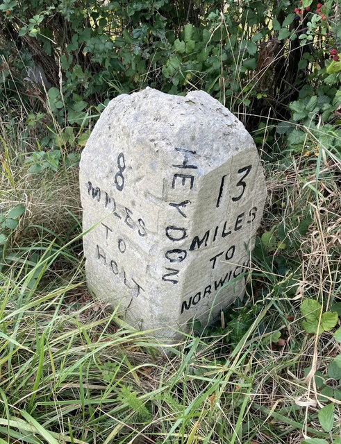
Heydon, Norfolk
Heydon is a village and civil parish in Norfolk, England. It is located 3 miles (4.8 km) north of the market town of Reepham. The village can be accessed...
Itteringham
Itteringham is a village and civil parish in the English county of Norfolk, some 4+1⁄2 miles (7.2 km) northwest of the market town of Aylsham. It covers...

Corpusty and Saxthorpe railway station
Corpusty and Saxthorpe railway station was a railway station in the North Norfolk village of Corpusty. It was opened by the Eastern & Midlands Railway...

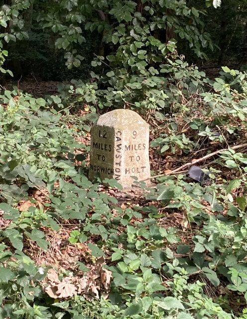
Saxthorpe
Saxthorpe is a village in Norfolk, England. The village is 12 miles (19 km) west south west of Cromer and 16.3 miles (26.2 km) north north west of Norwich...
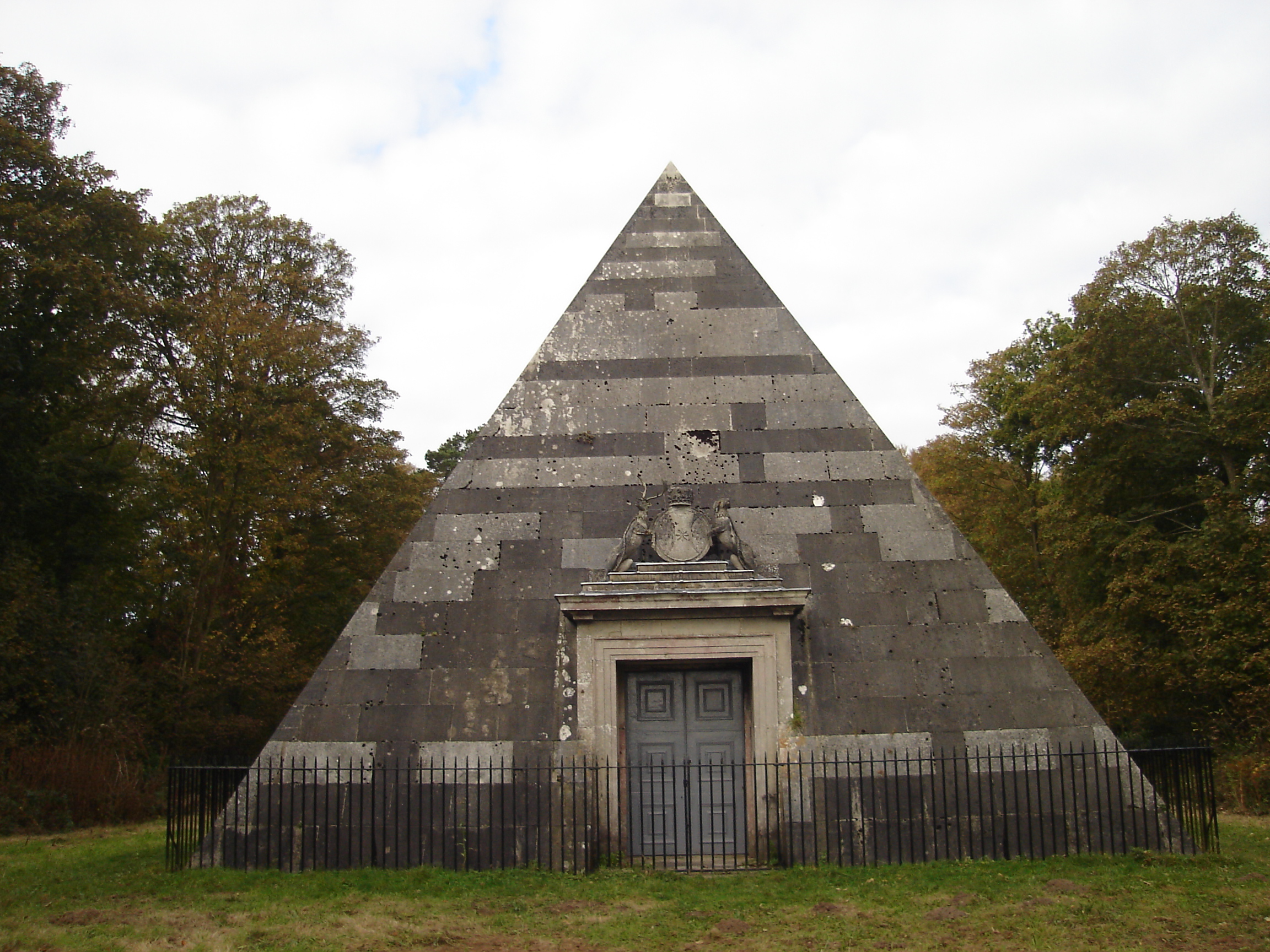
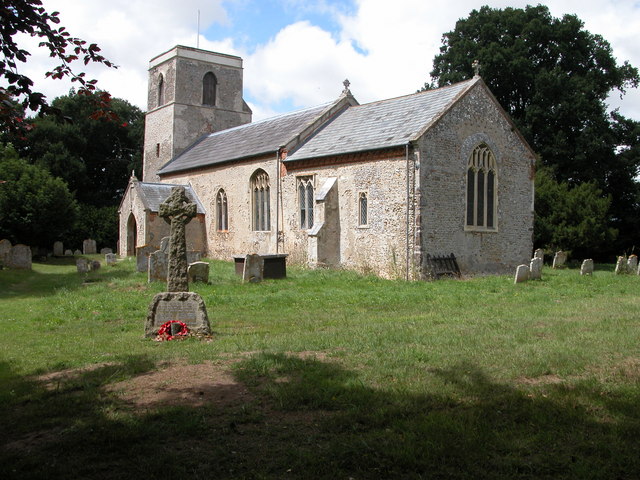
Blickling Park mausoleum
The Blickling Park mausoleum is a Grade II* listed building in the grounds of Blickling Hall, Norfolk, England. It was commissioned in 1793 by Lady Caroline...
Nearby Amenities
Located within 500m of 52.807189,1.1643075Have you been to Flagmeadow Plantation?
Leave your review of Flagmeadow Plantation below (or comments, questions and feedback).