Foxbury

Settlement in Kent

England

Foxbury

Chislehurst Outside the railway station, a promotional vehicle for a nearby restaurant.
Chislehurst Credit: Peter Trimming

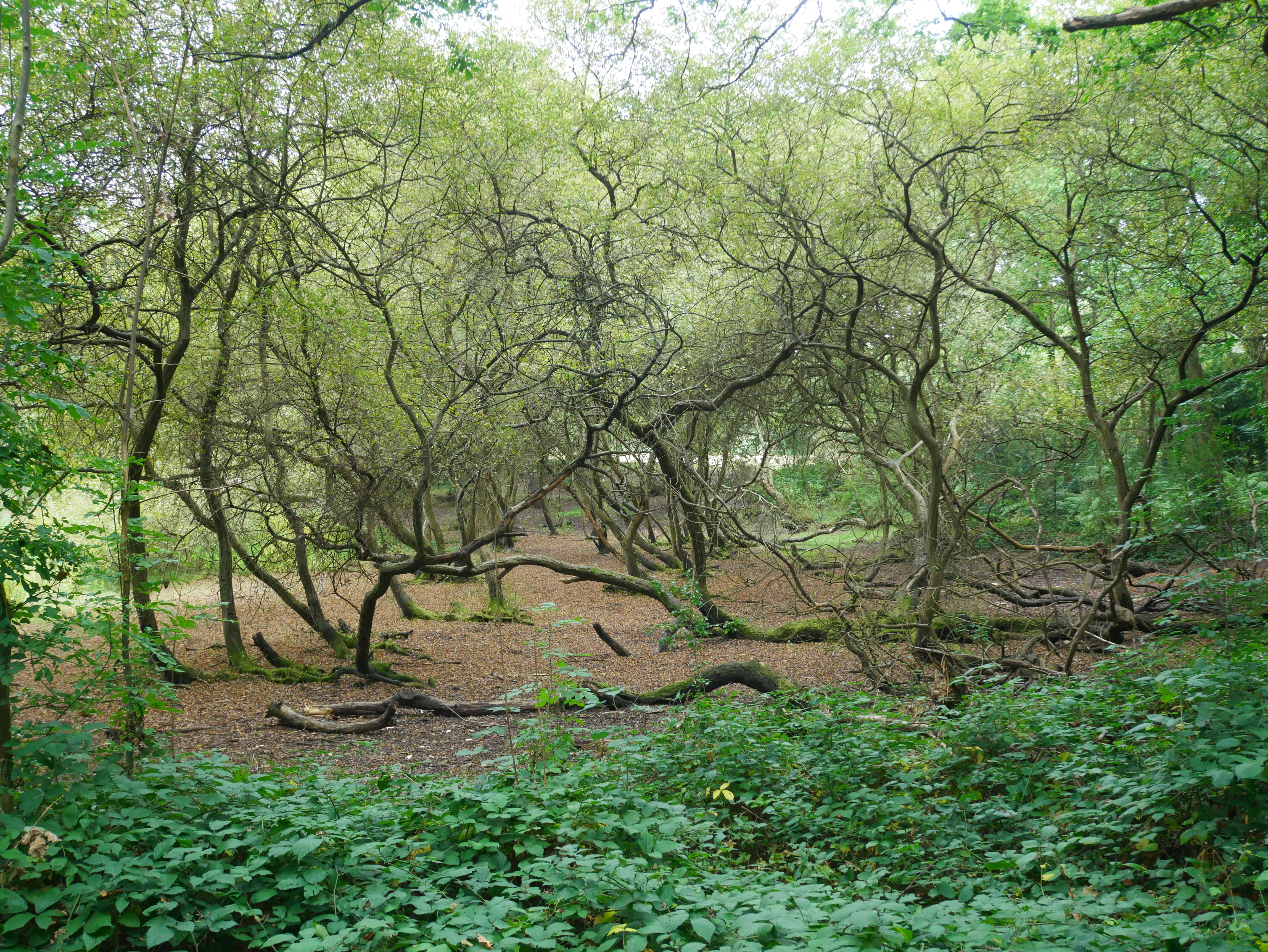
Foxbury is a small village located in the county of Kent, in southeastern England. Situated within the borough of Sevenoaks, Foxbury is part of the civil parish of Brasted. The village is nestled amidst picturesque countryside, characterized by rolling hills and dense woodlands, offering residents and visitors a serene and idyllic atmosphere.

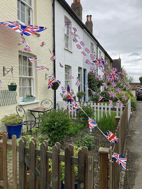
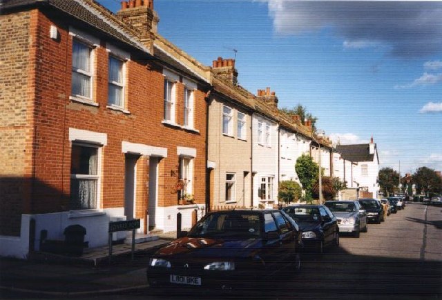
Though small in size, Foxbury boasts a close-knit and friendly community. The village is primarily residential, with a mix of traditional cottages and more modern houses. The charming architecture and well-maintained gardens contribute to the overall appeal of the village.

Foxbury benefits from its proximity to larger towns and cities. The town of Sevenoaks, which lies approximately four miles to the northeast, provides residents with a range of amenities including shops, supermarkets, schools, and healthcare facilities. The village is also well-connected by road, with the A21 passing nearby, facilitating easy access to London and other major towns in the region.

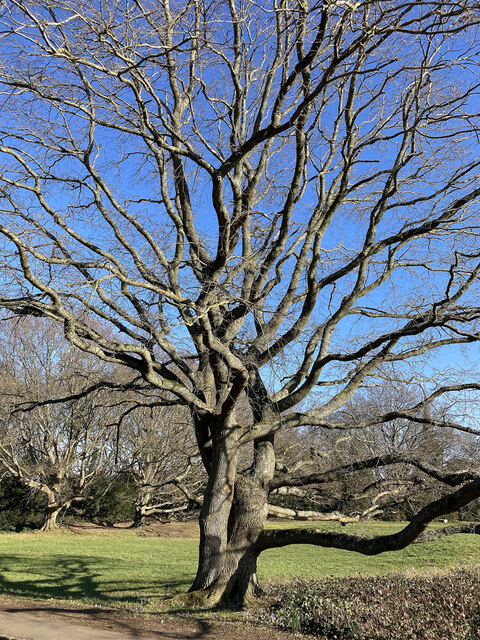
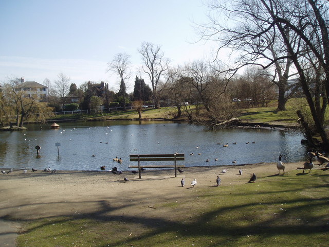
Nature enthusiasts will find Foxbury particularly appealing, as it is surrounded by beautiful natural landscapes. The nearby Knole Park, a historic deer park and country house, offers ample opportunities for outdoor activities such as walking, picnicking, and wildlife spotting.

In summary, Foxbury in Kent is a peaceful and picturesque village with a strong sense of community. Its rural setting, combined with its convenient location, makes it an ideal place to reside for those seeking a tranquil lifestyle while still having access to urban amenities.

If you have any feedback on the listing, please let us know in the comments section below.
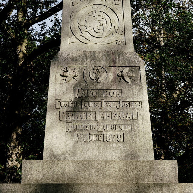
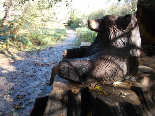
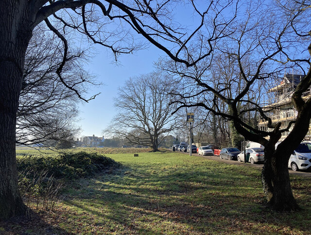
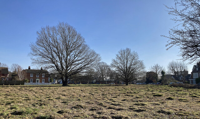
Foxbury Images

Images are sourced within 2km of 51.41973/0.06956086 or Grid Reference TQ4471. Thanks to Geograph Open Source API. All images are credited.

Chislehurst Outside the railway station, a promotional vehicle for a nearby restaurant.
Chislehurst
Outside the railway station, a promotional vehicle for a nearby restaurant.
The Ramblers Rest Located beside the A222, on Summer Hill, Chislehurst.
The Ramblers Rest
Located beside the A222, on Summer Hill, Chislehurst.
The Ramblers Rest Located beside the A222, on Summer Hill, Chislehurst.
The Ramblers Rest
Located beside the A222, on Summer Hill, Chislehurst.
The Prince Imperial Monument Napoléon, Prince Imperial (Napoléon Eugène Louis Jean Joseph Bonaparte; 16 March 1856 – 1 June 1879). After his father was dethroned in 1870, he moved with his family to England. On his father's death in January 1873, he was proclaimed by the Bonapartist faction as Napoleon IV. 

In England, he trained as a soldier. Keen to see action, he persuaded the British to allow him to participate in the Anglo-Zulu War. In 1879, serving with British forces, he was killed in a skirmish with a group of Zulus.
The Prince Imperial Monument
Napoléon, Prince Imperial (Napoléon Eugène Louis Jean Joseph Bonaparte; 16 March 1856 – 1 June 1879). After his father was dethroned in 1870, he moved with his family to England. On his father's death in January 1873, he was proclaimed by the Bonapartist faction as Napoleon IV. In England, he trained as a soldier. Keen to see action, he persuaded the British to allow him to participate in the Anglo-Zulu War. In 1879, serving with British forces, he was killed in a skirmish with a group of Zulus.
The Prince Imperial Monument Napoléon, Prince Imperial (Napoléon Eugène Louis Jean Joseph Bonaparte; 16 March 1856 – 1 June 1879). After his father was dethroned in 1870, he moved with his family to England. On his father's death in January 1873, he was proclaimed by the Bonapartist faction as Napoleon IV.

In England, he trained as a soldier. Keen to see action, he persuaded the British to allow him to participate in the Anglo-Zulu War. In 1879, serving with British forces, he was killed in a skirmish with a group of Zulus.
The Prince Imperial Monument
Napoléon, Prince Imperial (Napoléon Eugène Louis Jean Joseph Bonaparte; 16 March 1856 – 1 June 1879). After his father was dethroned in 1870, he moved with his family to England. On his father's death in January 1873, he was proclaimed by the Bonapartist faction as Napoleon IV. In England, he trained as a soldier. Keen to see action, he persuaded the British to allow him to participate in the Anglo-Zulu War. In 1879, serving with British forces, he was killed in a skirmish with a group of Zulus.
Bear hug sculpture seat, Scadbury Park
Village Green, Chislehurst (1) A local name for this patch of green, sometimes also perhaps referred to as Chislehurst Common (which encompasses several green spaces). It has some good gnarly old oaks.
Village Green, Chislehurst (1)
A local name for this patch of green, sometimes also perhaps referred to as Chislehurst Common (which encompasses several green spaces). It has some good gnarly old oaks.
Village Green, Chislehurst (2) A local name for this patch of green, sometimes also perhaps referred to as Chislehurst Common (which encompasses several green spaces).
Village Green, Chislehurst (2)
A local name for this patch of green, sometimes also perhaps referred to as Chislehurst Common (which encompasses several green spaces).
Oak, Chislehurst One of a number good old gnarly oaks on a village green.
Oak, Chislehurst
One of a number good old gnarly oaks on a village green.
Path from Church Row to St Nicholas Church Gates for path west from Church Row.
Path from Church Row to St Nicholas Church
Gates for path west from Church Row.
Woodland path towards Church Row The houses on Church Row can be seen in the background on the far side of a grass area.
Woodland path towards Church Row
The houses on Church Row can be seen in the background on the far side of a grass area.
Coronation Street Large swathes of south London showed little or no recognition of the forthcoming coronation of King Charles III, but not so Crown Lane, Chislehurst. Almost every house was decorated and one three-storey house had draped a screen depicting the Buckingham Palace balcony across its whole facade.
Coronation Street
Large swathes of south London showed little or no recognition of the forthcoming coronation of King Charles III, but not so Crown Lane, Chislehurst. Almost every house was decorated and one three-storey house had draped a screen depicting the Buckingham Palace balcony across its whole facade.
Chislehurst Station Chislehurst station is in Travelcard Zone 5, and the station and all trains are operated by Southeastern. The station is on the South Eastern Main Line and opened in 1895.
Wikipedia: <span class="nowrap"><a title="http://en.wikipedia.org/wiki/Chislehurst_railway_station" rel="nofollow ugc noopener" href="http://en.wikipedia.org/wiki/Chislehurst_railway_station">Link</a><img style="margin-left:2px;" alt="External link" title="External link - shift click to open in new window" src="https://s1.geograph.org.uk/img/external.png" width="10" height="10"/></span>
Chislehurst Station
Chislehurst station is in Travelcard Zone 5, and the station and all trains are operated by Southeastern. The station is on the South Eastern Main Line and opened in 1895. Wikipedia: LinkExternal link
Scadbury Park, Sidcup, Kent The water is part of the moat belonging to the manor house which once stood on this site.
Scadbury Park, Sidcup, Kent
The water is part of the moat belonging to the manor house which once stood on this site.
Elmstead Woods railway station BR7 Looking north. The station was built in 1902. Just past it, the two twin tracks disappear into tunnels beneath Elmstead Woods. The tunnels are unnecessary from an engineering viewpoint and exist because the Scotts of Sundridge Park would not allow access to their land during construction. In places the tunnels are barely below ground.
Elmstead Woods railway station BR7
Looking north. The station was built in 1902. Just past it, the two twin tracks disappear into tunnels beneath Elmstead Woods. The tunnels are unnecessary from an engineering viewpoint and exist because the Scotts of Sundridge Park would not allow access to their land during construction. In places the tunnels are barely below ground.
St Edward the Confessor, Mottingham SE9 Built in 1957, the church stands opposite the junction with St Keverne Road and Kimmeridge Road and is flanked by the church hall (left) and vicarage (right).
St Edward the Confessor, Mottingham SE9
Built in 1957, the church stands opposite the junction with St Keverne Road and Kimmeridge Road and is flanked by the church hall (left) and vicarage (right).
Edward Road, Chislehurst
Village Pond, Chislehurst, Kent This beautiful pond is only a few steps from the centre of this suburban village.
Village Pond, Chislehurst, Kent
This beautiful pond is only a few steps from the centre of this suburban village.
Show me another place!

Foxbury is located at Grid Ref: TQ4471 (Lat: 51.41973, Lng: 0.06956086)

Unitary Authority: Bromley

Police Authority: Metropolitan

What 3 Words

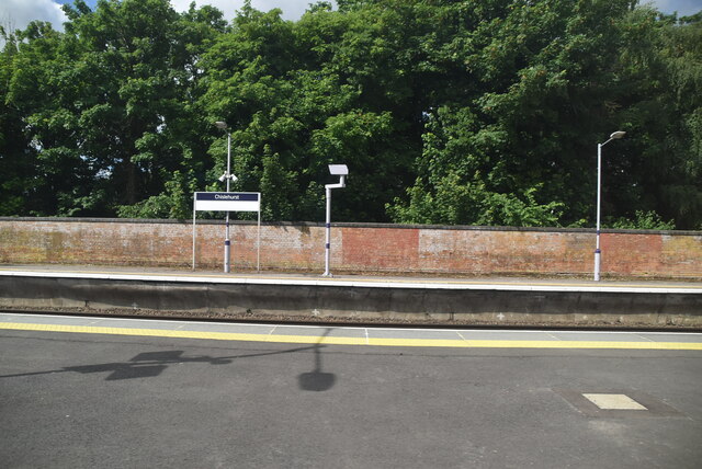
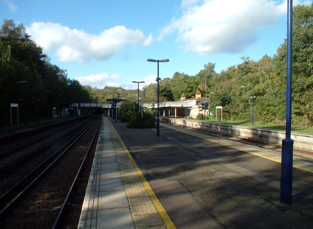
///wishes.woof.times. Near Chislehurst, London

Nearby Locations

Ashen Grove Foxbury

Related Wikis

Darul Uloom London

Darul Uloom London is an 11–19 boys, Islamic, private boarding school and sixth form in Chislehurst, Greater London, England. It is a Darul uloom that...

Chislehurst

Chislehurst () is a suburban district of south-east London, England, in the London Borough of Bromley. It lies east of Bromley, south-west of Sidcup and...

Chislehurst and Sidcup Urban District

Chislehurst and Sidcup Urban District was a local government district and civil parish in north west Kent, England from 1934 to 1965. It was formed in...

Glebe F.C.

Glebe Football Club is a football club based in Chislehurst in the London Borough of Bromley, England. Affiliated to both the Kent County Football Association...

Derwent House

Derwent House, on Camden Park Road, Chislehurst, Bromley, is one of a number of the locally renowned 'Willett-built' houses erected on the Camden Park...

Chislehurst Common

Chislehurst Common is an open space in Chislehurst in the London Borough of Bromley in south-east London. It is jointly managed with St Paul's Cray Common...

Foxbury

Foxbury is an area in the London Borough of Bromley, located to the east of Chislehurst. It is home to the Grade II-listed Foxbury Manor, several educational...

Kemnal Park Cemetery & Memorial Gardens

Kemnal Park Cemetery & Memorial Gardens is a privately owned cemetery in London that was opened in October 2013 by the Mayor of Bromley, Cllr Ernest Noad...

Nearby Amenities

Located within 500m of 51.41973,0.06956086
Traffic Signals
Traffic Signals: signal
Lat/Long: 51.4184735/0.0673454
Mini Roundabout
Direction: clockwise
Lat/Long: 51.4167126/0.0698255
Ref GB Tflcid: RWG277243
Traffic Calming: hump
Lat/Long: 51.4194183/0.0767249
Turning Circle
Lat/Long: 51.4225762/0.0659274
Turning Circle
Lat/Long: 51.4218919/0.0640131
Crossing
Crossing: unmarked
Crossing Island: yes
Crossing Markings: no
Lat/Long: 51.419512/0.0661377
Pub
Gordon Arms
Operator: Stonegate
Operator Wikidata: Q7619176
Website: https://www.craftunionpubs.com/gordon-arms-chislehurst
Lat/Long: 51.4197499/0.0691082
Turning Circle
Lat/Long: 51.4221692/0.0648338
Bus Stop
Albany Road / Green Lane
Bus: yes
Local Ref: F
Naptan AtcoCode: 490003142B
Naptan Bearing: E
Naptan CommonName: Albany Road Green Lane
Naptan Indicator: B
Naptan Street: ALBANY ROAD
Naptan Verified: no
Public Transport: platform
Ref: 47749
Source Ref: naptan
Lat/Long: 51.4212678/0.0680305
Bus Stop
Albany Road
Bench: yes
Bin: yes
Bus: yes
Local Ref: D
Naptan AtcoCode: 490003139H
Naptan Bearing: S
Naptan CommonName: Albany RdChislehurst High St
Naptan Indicator: H
Naptan Verified: no
Public Transport: platform
Shelter: yes
Lat/Long: 51.4196871/0.0659443
Bus Stop
Chislehurst / Gordon Arms
Bus: yes
Local Ref: G
Naptan AtcoCode: 490005198C
Naptan Bearing: N
Naptan CommonName: Chislehurst Gordon Arms
Naptan Indicator: C
Naptan Street: BELMONT LANE
Naptan Verified: no
Public Transport: platform
Ref: 50380
Lat/Long: 51.4214009/0.0697692
Bus Stop
Chislehurst / Gordon Arms
Bus: yes
Local Ref: W
Naptan AtcoCode: 490005198D
Naptan Bearing: N
Naptan CommonName: Chislehurst Gordon Arms
Naptan Indicator: D
Naptan Street: BELMONT LANE
Naptan Verified: no
Public Transport: platform
Ref: 72465
Lat/Long: 51.420934/0.0694371
Bus Stop
Chislehurst / Gordon Arms
Bus: yes
Local Ref: X
Naptan AtcoCode: 490005198F
Naptan Bearing: N
Naptan CommonName: Chislehurst Gordon Arms
Naptan Indicator: F
Naptan Street: GREEN LANE
Naptan Verified: no
Public Transport: platform
Ref: 76937
Lat/Long: 51.4205359/0.0690969
Bus Stop
Chislehurst Sainsbury's
Bus: yes
Local Ref: A
Naptan AtcoCode: 490005204J
Naptan Bearing: N
Naptan CommonName: Chislehurst Sainsburys
Naptan Indicator: J
Naptan Verified: no
Public Transport: platform
Ref: 71222
Source Ref: naptan
Lat/Long: 51.4188708/0.0667601
Bus Stop
Loop Road
Bus: yes
Local Ref: M
Naptan AtcoCode: 490009356M
Naptan Bearing: N
Naptan CommonName: Loop Road
Naptan Indicator: M
Naptan Street: LOOP ROAD
Naptan Verified: no
Public Transport: platform
Ref: 50686
Source Ref: naptan
Lat/Long: 51.4169065/0.0699296
Bus Stop
Chislehurst / Ashfield Lane
Bench: yes
Bin: yes
Bus: yes
Local Ref: K
Naptan AtcoCode: 490010817K
Naptan Bearing: S
Naptan CommonName: High Street Camden Grove
Naptan Indicator: K
Naptan Verified: no
Public Transport: platform
Ref: 72958
Shelter: yes
Source Ref: naptan
Lat/Long: 51.417373/0.0684892
Bus Stop
Chislehurst / Ashfield Lane
Bench: yes
Bin: yes
Bus: yes
Local Ref: L
Naptan AtcoCode: 490011196L
Naptan Bearing: N
Naptan CommonName: Prince Imperial Rd Queens Hd
Naptan Indicator: L
Naptan Verified: no
Public Transport: platform
Ref: 56474
Shelter: yes
Source Ref: naptan
Lat/Long: 51.4165594/0.0691075
Bus Stop
St Patrick's Church
Bus: yes
Local Ref: E
Naptan AtcoCode: 490012871A
Naptan Bearing: E
Naptan CommonName: St.Patricks Church
Naptan Indicator: A
Naptan Street: ALBANY ROAD
Naptan Verified: no
Public Transport: platform
Ref: 50056
Source Ref: naptan
Lat/Long: 51.4204122/0.0659072
Bus Stop
Ingleby Way
Bus: yes
Local Ref: C
Naptan AtcoCode: 490013496S
Naptan Bearing: S
Naptan CommonName: Victoria Road Ingleby Way
Naptan Verified: no
Public Transport: platform
Ref: 74131
Source Ref: naptan
Lat/Long: 51.4214779/0.0629174
Note: start/end of (part of) Green Chain Walk
Lat/Long: 51.4175831/0.0684365
Telephone
Booth: KXPlus
Covered: booth
Lat/Long: 51.4197879/0.065875
Belmont
Place: quarter
Lat/Long: 51.4224626/0.0705694
Bus Stop
Chislehurst Sainsbury's
Bus: yes
Local Ref: AA
Naptan AtcoCode: 490005204Z
Public Transport: platform
Ref: 92233
Source Ref: naptan
Lat/Long: 51.4190204/0.066597
Alex Neil Estate Agents
Addr City: Chislehurst
Addr Housenumber: 61
Addr Postcode: BR7 5AF
Addr Street: High Street
Office: estate_agent
Opening Hours: Mo-Fr 09:30-18:00; Sa 10:00-14:00
Phone: +44 20 8297 8800
Website: https://www.alexneil.com/chislehurst-and-bromley
Lat/Long: 51.4182877/0.0672864
Post Box
Collection Times: Mo-Fr 18:00, Sa 12:15
Operator: Royal Mail
Operator Wikidata: Q638098
Post Box Type: meter
Ref: BR7 645P
Royal Cypher: no
Lat/Long: 51.4166374/0.0690444
Post Box
Collection Times: Mo-Fr 16:45, Sa 12:30
Operator: Royal Mail
Operator Wikidata: Q638098
Post Box Type: pillar
Ref: BR7 130
Royal Cypher: EIIR
Royal Cypher Wikidata: Q33102113
Lat/Long: 51.4195947/0.0661566
Harvey Jones
Addr City: Chislehurst
Addr Street: High Street
Shop: kitchen
Lat/Long: 51.4184349/0.067522
New Mortgage Solutions
Addr City: Chislehurst
Addr Street: High Street
Office: financial_advisor
Lat/Long: 51.4167488/0.0687423
Bench
Backrest: yes
Lat/Long: 51.4168304/0.0691719
Restaurant
Ginger & Spices
Addr City: Chislehurst
Addr Housenumber: 67
Addr Postcode: BR7 5AG
Addr Street: High Street
Cuisine: indian
Fhrs Id: 1047148
Lat/Long: 51.4184842/0.0670054
Briggs & Co London
Addr City: Chislehurst
Addr Street: High Street
Shop: hairdresser
Lat/Long: 51.4183783/0.0675817
Restaurant
Zizzi
Addr City: Chislehurst
Addr Housenumber: 19
Addr Postcode: BR7 5AE
Addr Street: High Street
Brand: Zizzi
Brand Wikidata: Q8072944
Brand Wikipedia: en:Zizzi
Cuisine: italian
Diet Gluten Free: yes
Diet Vegan: yes
Diet Vegetarian: yes
Fhrs Id: 522282
Website: https://www.zizzi.co.uk/italian/restaurants/chislehurst
Lat/Long: 51.4172999/0.0682326
Doctors
The Chislehurst Medical Practice
Healthcare: doctor
Lat/Long: 51.4188498/0.0673232
Restaurant
Côte Brasserie
Addr City: Chislehurst
Addr Housenumber: 43-45
Addr Postcode: BR7 5AF
Addr Street: High Street
Brand: Côte Brasserie
Brand Wikidata: Q48699908
Brand Wikipedia: en:Côte
Cuisine: french
Diet Gluten Free: yes
Diet Vegan: yes
Diet Vegetarian: yes
Fhrs Id: 853106
Lat/Long: 51.417847/0.0676735
Cafe
Caffè Nero
Addr City: Chislehurst
Addr Housenumber: 12
Addr Postcode: BR7 5AN
Addr Street: High Street
Brand: Caffè Nero
Brand Wikidata: Q675808
Brand Wikipedia: en:Caffè Nero
Contact Website: https://caffenero.com/uk/store/chislehurst-328/
Cuisine: coffee_shop
Fhrs Id: 358439
Takeaway: yes
Lat/Long: 51.418026/0.0679545
jdm Estate Agent
Addr City: Chislehurst
Addr Street: High Street
Office: estate_agent
Lat/Long: 51.4178007/0.0677353
Winkworth
Addr City: Chislehurst
Addr Street: High Street
Brand: Winkworth
Brand Wikidata: Q8025502
Office: estate_agent
Phone: +44 20 8285 5099
Lat/Long: 51.4181422/0.067836
Chislehurst Bridal
Addr City: Chislehurst
Addr Street: High Street
Clothes: wedding
Shop: clothes
Lat/Long: 51.4175978/0.0678777
Linklater & Warren
Addr City: Chislehurst
Addr Street: High Street
Phone: +44 20 8295 5131
Shop: optician
Website: https://linklaterwarren.co.uk/
Lat/Long: 51.4184933/0.0674708
Bank
Barclays
Addr City: Chislehurst
Addr Street: High Street
Brand: Barclays
Brand Wikidata: Q245343
Brand Wikipedia: en:Barclays
Lat/Long: 51.4168528/0.0686349
Post Box
Collection Times: Mo-Fr 18:00, Sa 12:15
Operator: Royal Mail
Operator Wikidata: Q638098
Post Box Type: pillar
Ref: BR7 461
Royal Cypher: EIIR
Royal Cypher Wikidata: Q33102113
Lat/Long: 51.4166236/0.0690578
Pharmacy
Chemist
Addr City: Chislehurst
Addr Street: High Street
Healthcare: pharmacy
Lat/Long: 51.4194648/0.0657907
Restaurant
Bank House
Addr City: Chislehurst
Addr Housenumber: 11
Addr Postcode: BR7 5AB
Addr Street: High Street
Fhrs Id: 1205189
Lat/Long: 51.417032/0.0684016
Restaurant
Mountain View
Addr City: Chislehurst
Addr Housenumber: 4-6
Addr Postcode: BR7 5AN
Addr Street: High Street
Cuisine: indian;nepalese
Fhrs Id: 1196835
Lat/Long: 51.4178841/0.0681377
Pharmacy
Lloyds Pharmacy
Addr City: Chislehurst
Addr Street: High Street
Brand: Lloyds Pharmacy
Brand Wikidata: Q6662870
Brand Wikipedia: en:LloydsPharmacy
Healthcare: pharmacy
Lat/Long: 51.4182275/0.0673596
Post Office
Chislehurst Post Office
Addr City: Chislehurst
Addr Housenumber: 60
Addr Postcode: BR7 5AQ
Addr Street: High Street
Branch: Chislehurst
Brand: Post Office
Brand Wikidata: Q1783168
Contact Website: https://www.postoffice.co.uk/branch-finder/0640123/chislehurst
Opening Hours: Mo-Sa 08:30-17:30
Operator: Post Office
Operator Wikidata: Q1783168
Ref Pol Id: 18172
Lat/Long: 51.4196045/0.0662689
Restaurant
Giggling Squid
Addr City: Chislehurst
Addr Housenumber: 9
Addr Postcode: BR7 5AB
Addr Street: High Street
Brand: Giggling Squid
Brand Wikidata: Q113127471
Cuisine: thai
Fhrs Id: 1129702
Website: https://www.gigglingsquid.com/restaurant/chislehurst
Lat/Long: 51.4169468/0.0684823
Tribe
Addr City: Chislehurst
Addr Street: High Street
Shop: hairdresser
Lat/Long: 51.4173831/0.0681952
Cafe
Costa
Addr City: Chislehurst
Addr Housenumber: 53
Addr Postcode: BR7 5AF
Addr Street: High Street
Brand: Costa
Brand Wikidata: Q608845
Brand Wikipedia: en:Costa Coffee
Cuisine: coffee_shop
Fhrs Id: 748090
Takeaway: yes
Lat/Long: 51.4180999/0.0674752
Restaurant
Thaidine
Addr City: Chislehurst
Addr Street: High Street
Cuisine: thai
Lat/Long: 51.4195788/0.0663132
Champion Wines
Addr City: Chislehurst
Addr Housenumber: 17
Addr Postcode: BR7 5AB
Addr Street: High Street
Fhrs Id: 454541
Shop: wine
Lat/Long: 51.4171956/0.0683728
Go Travel
Addr City: Chislehurst
Addr Street: High Street
Shop: travel_agency
Lat/Long: 51.4179481/0.0680618
Chislehurst West
Place: quarter
Lat/Long: 51.4184937/0.0683838
Red Hill
Place: quarter
Lat/Long: 51.4208556/0.0648171
Bicycle Parking
Bicycle Parking: stands
Capacity: 2
Ref GB Tflcid: RWG197968
Lat/Long: 51.4196393/0.0658187
Bicycle Parking
Bicycle Parking: stands
Capacity: 8
Ref GB Tflcid: RWG197967
Lat/Long: 51.4191818/0.0664262
Bicycle Parking
Bicycle Parking: stands
Capacity: 10
Ref GB Tflcid: RWG197970
Lat/Long: 51.4209791/0.0690072
Bicycle Parking
Bicycle Parking: stands
Capacity: 6
Ref GB Tflcid: RWG198009
Lat/Long: 51.4177011/0.0679527
Bicycle Parking
Bicycle Parking: stands
Capacity: 8
Ref GB Tflcid: RWG197969
Lat/Long: 51.4202994/0.0647861
Bicycle Parking
Bicycle Parking: stands
Capacity: 6
Ref GB Tflcid: RWG198010
Lat/Long: 51.4181663/0.0675182
Bicycle Parking
Bicycle Parking: stands
Capacity: 6
Ref GB Tflcid: RWG290999
Lat/Long: 51.4199162/0.0693748
Ref GB Tflcid: RWG196629
Traffic Calming: hump
Lat/Long: 51.4177591/0.0642611
Ref GB Tflcid: RWG277242
Traffic Calming: hump
Lat/Long: 51.4190097/0.0765867
Ref GB Tflcid: RWG196631
Traffic Calming: hump
Lat/Long: 51.4195533/0.0664555
Cafe
The Chestnut
Cuisine: english
Internet Access: no
Lat/Long: 51.4174376/0.068115
Cafe
Mirage 2
Cuisine: breakfast;english
Lat/Long: 51.4175428/0.0680061
Restaurant
Ole Kyiv
Cuisine: ukrainian
Lat/Long: 51.4179152/0.0675848
Crossing
Button Operated: yes
Crossing: traffic_signals
Crossing Island: no
Crossing Markings: dots
Tactile Paving: yes
Traffic Signals Sound: yes
Traffic Signals Vibration: yes
Lat/Long: 51.4192959/0.0664215
Crossing
Button Operated: yes
Crossing: traffic_signals
Crossing Island: no
Crossing Markings: dots
Tactile Paving: yes
Traffic Signals Sound: yes
Traffic Signals Vibration: yes
Lat/Long: 51.4186068/0.0672017
Crossing
Button Operated: yes
Crossing: traffic_signals
Crossing Island: no
Crossing Markings: dots
Tactile Paving: yes
Traffic Signals Sound: yes
Traffic Signals Vibration: yes
Lat/Long: 51.4184148/0.067259
Crossing
Button Operated: yes
Crossing: traffic_signals
Crossing Island: no
Crossing Markings: dots
Tactile Paving: yes
Traffic Signals Sound: yes
Traffic Signals Vibration: yes
Lat/Long: 51.418353/0.0674695
Crossing
Button Operated: yes
Crossing: traffic_signals
Crossing Island: no
Crossing Markings: dots
Tactile Paving: yes
Traffic Signals Sound: yes
Traffic Signals Vibration: yes
Lat/Long: 51.4185362/0.0674408
Crossing
Button Operated: yes
Crossing: traffic_signals
Crossing Island: no
Crossing Markings: dots
Tactile Paving: yes
Traffic Signals Sound: yes
Traffic Signals Vibration: yes
Lat/Long: 51.4176978/0.0681228
Crossing
Crossing: unmarked
Crossing Island: yes
Crossing Markings: no
Lat/Long: 51.4200735/0.065233
Bench
Lat/Long: 51.4170267/0.0691105
Bench
Lat/Long: 51.4170172/0.0692205
Bench
Lat/Long: 51.4158744/0.0711097
Bench
Lat/Long: 51.4157358/0.0706529
Noexit: yes
Lat/Long: 51.4206731/0.0636594
The data included in this document is from www.openstreetmap.org. The data is made available under ODbL.

Have you been to Foxbury?

Leave your review of Foxbury below (or comments, questions and feedback).