Foxbar

Settlement in Renfrewshire

Scotland

Foxbar

Transmitter mast at Sergeant Law This is one of three masts on the hill. The other two stand not far to the WSW: <a href="https://www.geograph.org.uk/photo/2939846">NS4559 : Transmitter masts at Sergeant Law</a>. They provide DAB digital radio coverage, and, according to Secret Scotland, they are also leased by the MOD: <span class="nowrap"><a title="http://www.secretscotland.org.uk/index.php/Secrets/SergeantLawMasts" rel="nofollow ugc noopener" href="http://www.secretscotland.org.uk/index.php/Secrets/SergeantLawMasts">Link</a><img style="margin-left:2px;" alt="External link" title="External link - shift click to open in new window" src="https://s1.geograph.org.uk/img/external.png" width="10" height="10"/></span>
Transmitter mast at Sergeant Law Credit: Lairich Rig

The requested URL returned error: 429 Too Many Requests

If you have any feedback on the listing, please let us know in the comments section below.
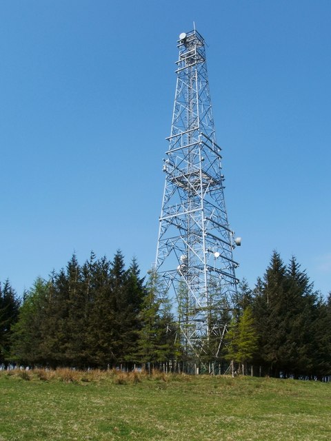
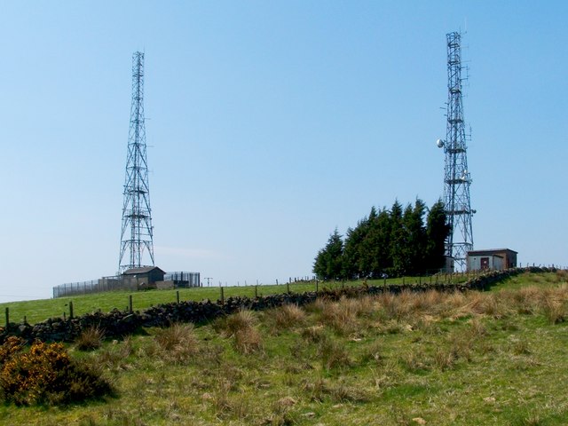
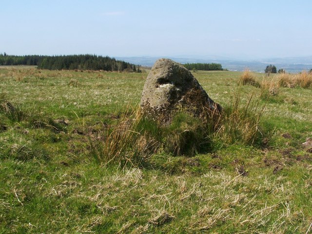
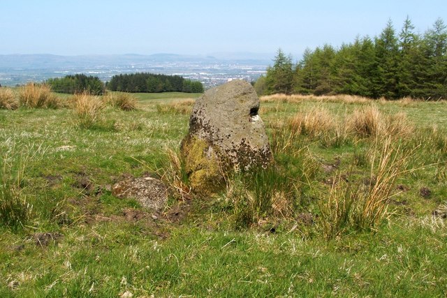
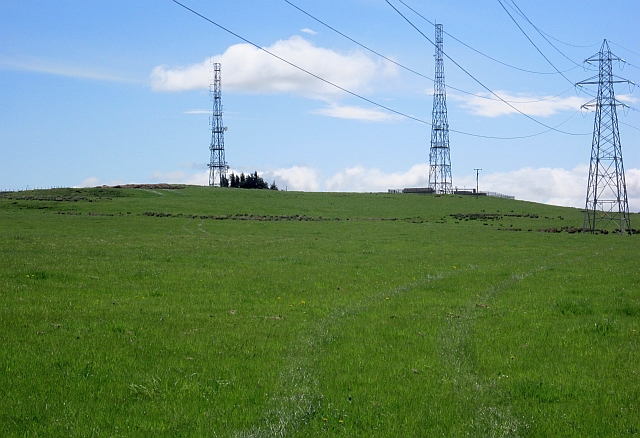
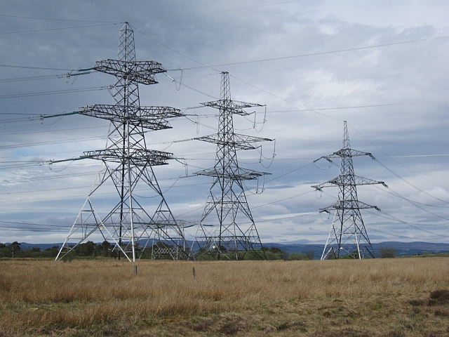
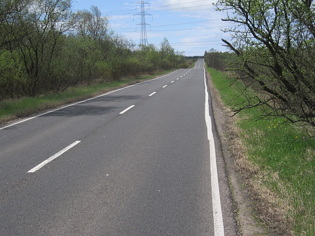
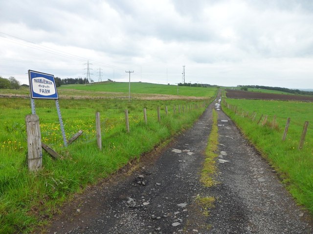
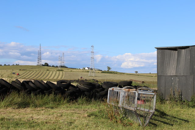
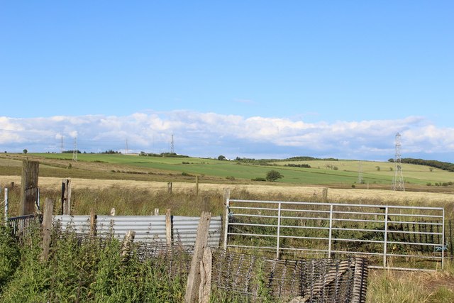
Foxbar Images

Images are sourced within 2km of 55.817303/-4.4753804 or Grid Reference NS4561. Thanks to Geograph Open Source API. All images are credited.

Transmitter mast at Sergeant Law This is one of three masts on the hill. The other two stand not far to the WSW: <a href="https://www.geograph.org.uk/photo/2939846">NS4559 : Transmitter masts at Sergeant Law</a>. They provide DAB digital radio coverage, and, according to Secret Scotland, they are also leased by the MOD: <span class="nowrap"><a title="http://www.secretscotland.org.uk/index.php/Secrets/SergeantLawMasts" rel="nofollow ugc noopener" href="http://www.secretscotland.org.uk/index.php/Secrets/SergeantLawMasts">Link</a><img style="margin-left:2px;" alt="External link" title="External link - shift click to open in new window" src="https://s1.geograph.org.uk/img/external.png" width="10" height="10"/></span>
Transmitter mast at Sergeant Law
This is one of three masts on the hill. The other two stand not far to the WSW: NS4559 : Transmitter masts at Sergeant Law. They provide DAB digital radio coverage, and, according to Secret Scotland, they are also leased by the MOD: LinkExternal link
Transmitter masts at Sergeant Law These are two of a group of three masts on a hill called Sergeant Law. These two are near the summit of the hill, while the other one is further to the ENE: <a href="https://www.geograph.org.uk/photo/2939828">NS4559 : Transmitter mast at Sergeant Law</a>; see that item for further information.

There is a Serjeantlaw (farm) on Roy's Military Survey of Scotland (1740s-50s), showing that the hill had its present name at that time. A "law" is a round/conical, generally isolated hill.
Transmitter masts at Sergeant Law
These are two of a group of three masts on a hill called Sergeant Law. These two are near the summit of the hill, while the other one is further to the ENE: NS4559 : Transmitter mast at Sergeant Law; see that item for further information. There is a Serjeantlaw (farm) on Roy's Military Survey of Scotland (1740s-50s), showing that the hill had its present name at that time. A "law" is a round/conical, generally isolated hill.
Possible standing stone The stone is about a metre tall, and it stands about 380 metres to the north-east of the summit of Sergeant Law. It may or not be an antiquity, but I have recorded it here because it appears to be very similar to other stones nearby that are marked as antiquities on the map: <a href="https://www.geograph.org.uk/photo/2311485">NS4560 : Standing stones at Gleniffer Braes</a>.

See <a href="https://www.geograph.org.uk/photo/2943483">NS4559 : Possible standing stone</a> for another view of this stone, and for further details.
Possible standing stone
The stone is about a metre tall, and it stands about 380 metres to the north-east of the summit of Sergeant Law. It may or not be an antiquity, but I have recorded it here because it appears to be very similar to other stones nearby that are marked as antiquities on the map: NS4560 : Standing stones at Gleniffer Braes. See NS4559 : Possible standing stone for another view of this stone, and for further details.
Possible standing stone The stone is about a metre tall, and it stands about 380 metres to the north-east of the summit of Sergeant Law. It may or may not be a genuine antiquity (it has not been recorded as such), but it caught my attention because it appears to be very much like other stones nearby which are considered to be standing stones, and which are marked as antiquities on the map: <a href="https://www.geograph.org.uk/photo/2311485">NS4560 : Standing stones at Gleniffer Braes</a>. For this reason, I feel that the stone is worth pointing out and recording.

For another view of this stone, see <a href="https://www.geograph.org.uk/photo/2943482">NS4559 : Possible standing stone</a>.
Possible standing stone
The stone is about a metre tall, and it stands about 380 metres to the north-east of the summit of Sergeant Law. It may or may not be a genuine antiquity (it has not been recorded as such), but it caught my attention because it appears to be very much like other stones nearby which are considered to be standing stones, and which are marked as antiquities on the map: NS4560 : Standing stones at Gleniffer Braes. For this reason, I feel that the stone is worth pointing out and recording. For another view of this stone, see NS4559 : Possible standing stone.
Sergeant Law Masts and one of the powerlines radiating from the nearby substation.
Sergeant Law
Masts and one of the powerlines radiating from the nearby substation.
Four way pylon Junction of power lines near the Neilston substation.
Four way pylon
Junction of power lines near the Neilston substation.
B775 Smooth and straight, heading over the plateau from Gleniffer Braes.
B775
Smooth and straight, heading over the plateau from Gleniffer Braes.
Road to Thornliemuir Farm In the Gleniffer Braes.
Road to Thornliemuir Farm
In the Gleniffer Braes.
Shed NE of Caplaw Farm View towards Sergeant Law
Shed NE of Caplaw Farm
View towards Sergeant Law
Sheep Pen NE of Caplaw Farm
Paisley from the air Gleniffer Braes golf course and Stanely Loch are prominent in the foreground. Glasgow Airport can be seen to the left of centre.
Paisley from the air
Gleniffer Braes golf course and Stanely Loch are prominent in the foreground. Glasgow Airport can be seen to the left of centre.
Track near to Neilston Electricity Substation There was no unauthorised access beyond this point, as SP Energy Networks were doing some kind of work up ahead. The 'goal posts' are to show maximum height of vehicles for working under the power lines which cross over the track.
Track near to Neilston Electricity Substation
There was no unauthorised access beyond this point, as SP Energy Networks were doing some kind of work up ahead. The 'goal posts' are to show maximum height of vehicles for working under the power lines which cross over the track.
Electricity pylons These large pylons are just south of the Neilston Electricity Substation. This image was taken to replicate the first image for this square <a href="https://www.geograph.org.uk/photo/74666">NS4459 : Neilston Substation</a> taken and submitted in 2005.
Electricity pylons
These large pylons are just south of the Neilston Electricity Substation. This image was taken to replicate the first image for this square NS4459 : Neilston Substation taken and submitted in 2005.
Pylons and buzzard The electricity pylons are just southwest of the Neilston Electricity Substation. The buzzard is much closer to the photographer.
Pylons and buzzard
The electricity pylons are just southwest of the Neilston Electricity Substation. The buzzard is much closer to the photographer.
Pylons and power lines Seen from Sergeantlaw Road.
Pylons and power lines
Seen from Sergeantlaw Road.
Communication masts Just below the summit of Sergeant Law, a 230m hill.
Communication masts
Just below the summit of Sergeant Law, a 230m hill.
Barbed wire fence Beside Sergeantlaw Road.
Barbed wire fence
Beside Sergeantlaw Road.
Road to Thornliemuir Farm From Sergeantlaw Road.
Road to Thornliemuir Farm
From Sergeantlaw Road.
Show me another place!

Foxbar is located at Grid Ref: NS4561 (Lat: 55.817303, Lng: -4.4753804)

Unitary Authority: Renfrewshire

Police Authority: Renfrewshire and Inverclyde

What 3 Words

///origin.shock.league. Near Elderslie, Renfrewshire

Nearby Locations

Foxbar

Related Wikis

Gleniffer Braes

Gleniffer Braes ("brae" being the Scots language word for the slope or brow of a hill) is a short range of hills and park area to the south of Paisley...

Paisley and Renfrewshire South (UK Parliament constituency)

Paisley and Renfrewshire South is a constituency of the House of Commons, located in Renfrewshire, Scotland to the southwest of Glasgow. It elects one...

Foxbar

Foxbar is a district of Paisley, bordered by the Gleniffer Braes and Paisley town centre. Consisting mostly of residential areas, Foxbar has rapidly grown...

Gleniffer High School

Gleniffer High School is a Scottish state state school school located in Paisley for boys and girls aged 11 to 18. Since 1988, Gleniffer has been located...

Related Videos

Hiking Gleniffer Braes and I Eventually Find a Beautiful Waterfall

I have been told many times that a good walk/hike, pretty close to me is Gleniffer Braes, which is situated between Paisley and ...

Trekking to Glen park Paisley, Scotland part 1

Gleniffer Braes Country Park is great for visitors experiencing Paisley's nature offering or for locals rekindling their love for the ...

Waterfall Wander at Gleniffer Braes | Paisley

When you can't travel far to scratch the hiking itch we looked a bit closer to home for somewhere we could stretch the legs but still ...

Trekking to Glen Park, Paisley, Scotland part 2

Gleniffer Braes Country Park is great for visitors experiencing Paisley's nature offering or for locals rekindling their love for the ...

Nearby Amenities

Located within 500m of 55.817303,-4.4753804
Crossing
Crossing: zebra
Crossing Island: no
Tactile Paving: no
Lat/Long: 55.8195659/-4.47151
Kerb: raised
Lat/Long: 55.8204263/-4.4715543
Man Made: tower
Lat/Long: 55.8159102/-4.4773285
Turning Circle
Lat/Long: 55.8172964/-4.474977
Power: tower
Lat/Long: 55.8150516/-4.4762179
Waste Basket
Check Date: 2022-11-30
Lat/Long: 55.8211726/-4.4729963
Power: tower
Source: Mapbox
Lat/Long: 55.8137128/-4.475925
Kerb: raised
Lat/Long: 55.8208722/-4.4710516
Crossing
Crossing: zebra
Crossing Island: no
Tactile Paving: no
Lat/Long: 55.819498/-4.4708013
Power: tower
Lat/Long: 55.8206423/-4.4774413
Power: tower
Lat/Long: 55.8177914/-4.4768174
The data included in this document is from www.openstreetmap.org. The data is made available under ODbL.

Have you been to Foxbar?

Leave your review of Foxbar below (or comments, questions and feedback).