Fox Street

Settlement in Essex Colchester

England

Fox Street

Crockleford Heath, Essex A field of Borage near Crockleford Heath.
Crockleford Heath, Essex Credit: Rebecca A Wills

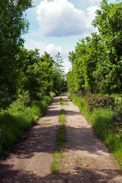
Fox Street is a small residential street located in the county of Essex, England. Situated in the heart of a bustling neighborhood, it is known for its quiet and peaceful atmosphere, making it an ideal place for families and individuals seeking a tranquil living environment.

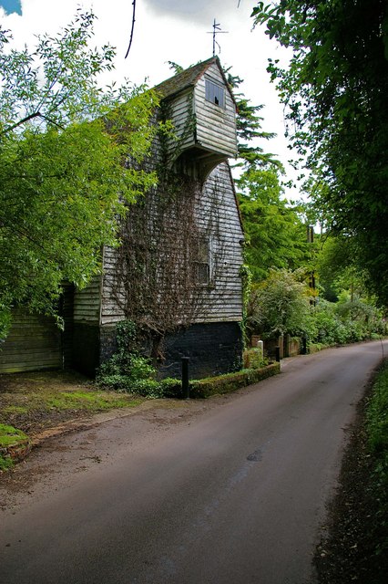
The street itself is relatively short, stretching for approximately 300 meters. It is lined with a mixture of terraced houses and semi-detached properties, giving it a charming and diverse architectural character. The houses on Fox Street are predominantly two or three stories high, with well-maintained gardens and driveways.

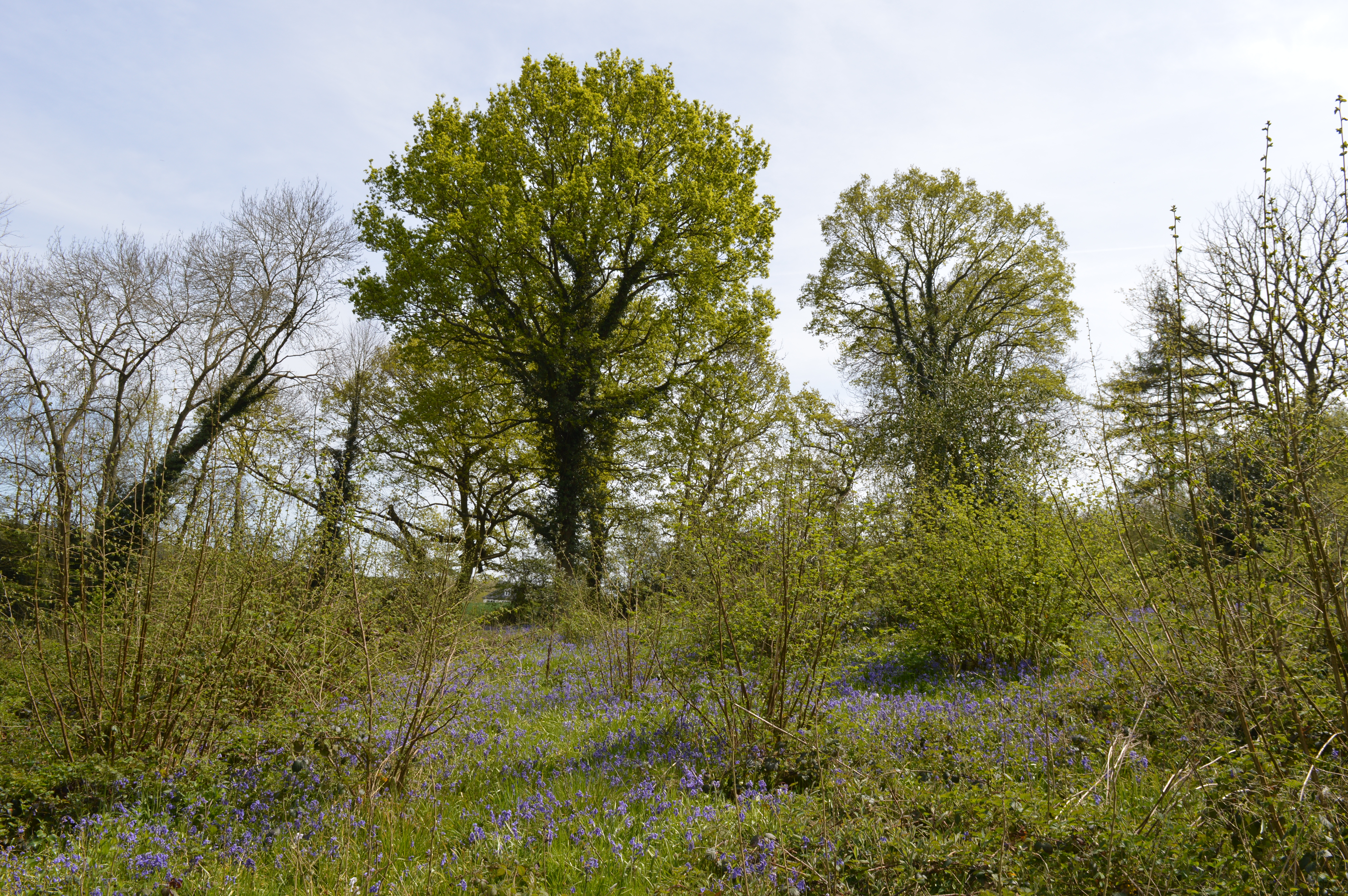
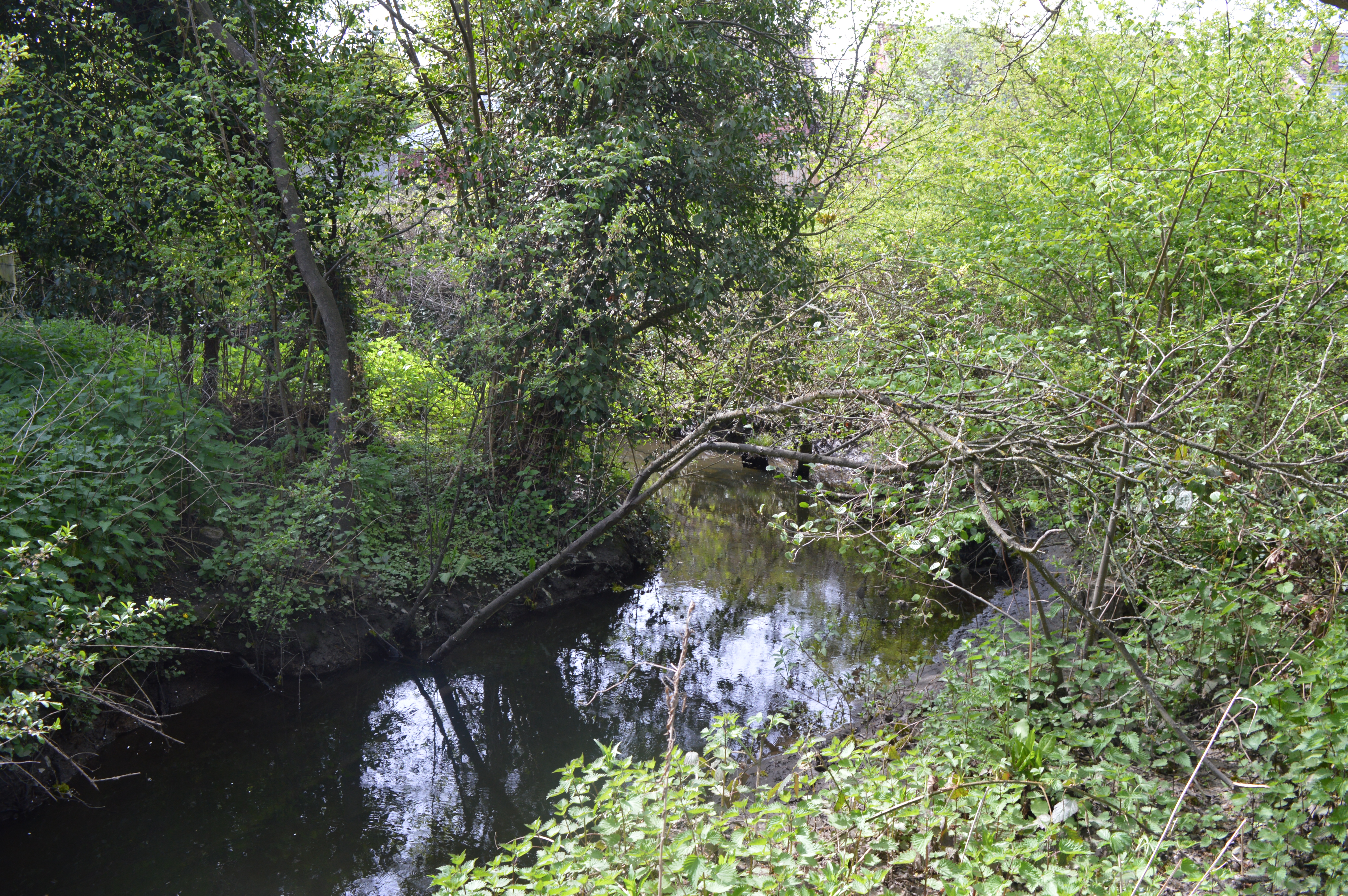
Residents of Fox Street benefit from a range of local amenities within walking distance. The nearby town center offers a variety of shops, supermarkets, cafes, and restaurants, ensuring that all daily needs can be met conveniently. Additionally, there are several parks and green spaces in the vicinity, providing opportunities for outdoor activities and leisurely walks.

Transportation links are excellent in this area. Fox Street is well-connected to major road networks, including the A12 and M25, allowing for easy access to neighboring towns and cities. Public transportation options are also readily available, with regular bus services operating in the area, providing convenient connections to nearby train stations.

Overall, Fox Street in Essex offers a peaceful and welcoming community for its residents, combining the tranquility of suburban living with the convenience of nearby amenities and excellent transport links.

If you have any feedback on the listing, please let us know in the comments section below.
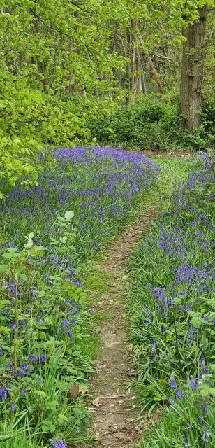
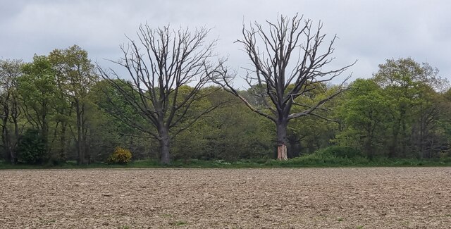
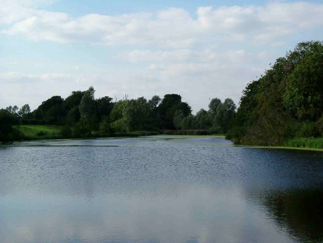
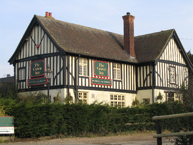
Fox Street Images

Images are sourced within 2km of 51.909673/0.94746 or Grid Reference TM0227. Thanks to Geograph Open Source API. All images are credited.

Crockleford Heath, Essex A field of Borage near Crockleford Heath.
Crockleford Heath, Essex
A field of Borage near Crockleford Heath.
Crockleford Heath, Essex Borage flowers in a field near Crockleford Heath, Essex.
Crockleford Heath, Essex
Borage flowers in a field near Crockleford Heath, Essex.
Churn Wood, Essex A small track heading south through bluebells in Churn Wood.
Churn Wood, Essex
A small track heading south through bluebells in Churn Wood.
Crockleford Hill, Essex Looking across ploughed farmland towards a small copse near Crockleford Hill.
Crockleford Hill, Essex
Looking across ploughed farmland towards a small copse near Crockleford Hill.
Farmland near Colchester
Ardleigh Reservoir near Hillhouse Farm This is a shot of Ardleigh Reservoir north of Colchester taken from near Hillhouse Farm on Lodge Lane this picture is looking north west. See also <a href="https://www.geograph.org.uk/gridref/TM0429">TM0429</a>
Ardleigh Reservoir near Hillhouse Farm
This is a shot of Ardleigh Reservoir north of Colchester taken from near Hillhouse Farm on Lodge Lane this picture is looking north west. See also TM0429
Ardleigh Reservoir This is a shot of Ardleigh Reservoir north of Colchester taken from the end of Lodge Lane. The picture looks west across the water. See also <a href="https://www.geograph.org.uk/gridref/TM0429">TM0429</a> & <a href="https://www.geograph.org.uk/gridref/TM0329">TM0329</a>
Ardleigh Reservoir
This is a shot of Ardleigh Reservoir north of Colchester taken from the end of Lodge Lane. The picture looks west across the water. See also TM0429 & TM0329
Sir Charles Lucas Arts College Comprehensive School named after the leader of the Royalist Army during the siege of Colchester in the English Civil War.
Sir Charles Lucas Arts College
Comprehensive School named after the leader of the Royalist Army during the siege of Colchester in the English Civil War.
Wycliffe Baptist Church In Parsons Heath
Wycliffe Baptist Church
In Parsons Heath
The Rovers Tye Public House and Restaurant on Ipswich Road.  The original building is 200 years old and has previously been a farmhouse and a butchers.
The Rovers Tye
Public House and Restaurant on Ipswich Road. The original building is 200 years old and has previously been a farmhouse and a butchers.
The Crown Inn On Old Ipswich Road near Ardleigh
The Crown Inn
On Old Ipswich Road near Ardleigh
Unofficial Path This path leads out of High Woods Country Park north of Colchester. However it is of little use to the average walker as you are confronted with the back garden gates of Friars Close (behind the photographer)  and no way to reach a public road or right of way.
Unofficial Path
This path leads out of High Woods Country Park north of Colchester. However it is of little use to the average walker as you are confronted with the back garden gates of Friars Close (behind the photographer) and no way to reach a public road or right of way.
Brunel Way This is Brunel Way part of a large business park to the north of Colchester. The mainly service industries based here have to some degree helped alleviate the unemployment caused by the closure of Colchester’s traditional engineering employers such as the lathe company.
Brunel Way
This is Brunel Way part of a large business park to the north of Colchester. The mainly service industries based here have to some degree helped alleviate the unemployment caused by the closure of Colchester’s traditional engineering employers such as the lathe company.
Fen Farm footpath This footpath/private Road  near Fen Farm,  Fox Street runs from the A137 to A12/A120 Junction at TM019289
Fen Farm footpath
This footpath/private Road near Fen Farm, Fox Street runs from the A137 to A12/A120 Junction at TM019289
Henless Huts These abandoned chicken sheds are on Fen Farm, Fox Street north of Colchester.
Henless Huts
These abandoned chicken sheds are on Fen Farm, Fox Street north of Colchester.
Springvalley Lane Mill This mill near Ardleigh north of Colchester looks to be at the start of an extensive restoration it is a tad dilapidated at the moment.
Springvalley Lane Mill
This mill near Ardleigh north of Colchester looks to be at the start of an extensive restoration it is a tad dilapidated at the moment.
A120 This is the A120 looking coast bound from the flyover on Springvalley Lane near Ardleigh.
A120
This is the A120 looking coast bound from the flyover on Springvalley Lane near Ardleigh.
Springvalley Lane This is Springvalley Lane and the mill near Ardleigh north of Colchester.
Springvalley Lane
This is Springvalley Lane and the mill near Ardleigh north of Colchester.
Show me another place!

Fox Street is located at Grid Ref: TM0227 (Lat: 51.909673, Lng: 0.94746)

Administrative County: Essex

District: Colchester

Police Authority: Essex

What 3 Words

///tiny.gifted.pace. Near Colchester, Essex

Nearby Locations

Fox Street

Related Wikis

Ardleigh Reservoir

Ardleigh Reservoir is a 49-hectare (120-acre) lake near Colchester in Essex, England constructed in the valley of the Salary Brook. It supplies water both...

Bullock Wood

Bullock Wood is a 23.3-hectare (58-acre) biological Site of Special Scientific Interest on the northern outskirts of Colchester in Essex.The site is mature...

Welsh Wood

Welsh Wood is a 3.2 hectare Local Nature Reserve in Colchester in Essex. It is owned and managed by Colchester Borough Council.Trees in this site are managed...

Crockleford Heath

Crockleford Heath is part of the village and civil parish of Ardleigh in Essex. It is located 2+1⁄2 miles south-west of the village centre.Crockleford...

Colchester Academy

Colchester Academy, formerly Sir Charles Lucas Arts College, is a secondary school in Colchester, Essex specialising in English and Health Sciences. It...

The Gilberd School

The Gilberd School is a coeducational secondary school with academy status, in Colchester, Essex, England. == History == The school originally opened on...

Salary Brook Local Nature Reserve

Salary Brook Local Nature Reserve is a 17.1 hectare Local Nature Reserve covering a stretch of Salary Brook and its banks on the south-east outskirts of...

Ardleigh Gravel Pit

Ardleigh Gravel Pit is a 1.2-hectare (3.0-acre) geological Site of Special Scientific Interest south of Ardleigh in Essex. It is a Geological Conservation...

Nearby Amenities

Located within 500m of 51.909673,0.94746
Post Box
Brand: Royal Mail
Brand Wikidata: Q638098
Operator: Royal Mail
Operator Wikidata: Q638098
Post Box Mounting: rendered_wall
Post Box Type: wall
Postal Code: CO7 7PP
Ref: CO7 108
Lat/Long: 51.9095971/0.9476586
Milestone
Note: London 54, Harwich 18, Colchester 3
Lat/Long: 51.9121338/0.951448
Fox Street
Place: hamlet
Lat/Long: 51.9103848/0.9497427
Bus Stop
Bus: yes
Public Transport: platform
Source: survey
Lat/Long: 51.9074274/0.945341
Bus Stop
Bus: yes
Public Transport: platform
Source: survey
Lat/Long: 51.9099464/0.9482353
Bus Stop
Hyundai Garage
Bus: yes
Kerb: raised
Naptan AtcoCode: 150010120Y2
Naptan NaptanCode: esxjmjpg
Physically Present: yes
Public Transport: platform
Source: survey
Lat/Long: 51.911616/0.9504492
Parking
Parking: street_side
Lat/Long: 51.9131748/0.9506438
Hyundai Garage
Naptan AtcoCode: 15001012002
Naptan BusStopType: CUS
Naptan NaptanCode: esxjmjpa
Naptan Verified: no
Public Transport: platform
Lat/Long: 51.912132/0.9517482
The data included in this document is from www.openstreetmap.org. The data is made available under ODbL.

Have you been to Fox Street?

Leave your review of Fox Street below (or comments, questions and feedback).