Foxcombe Hill
Settlement in Berkshire Vale of White Horse
England
Foxcombe Hill

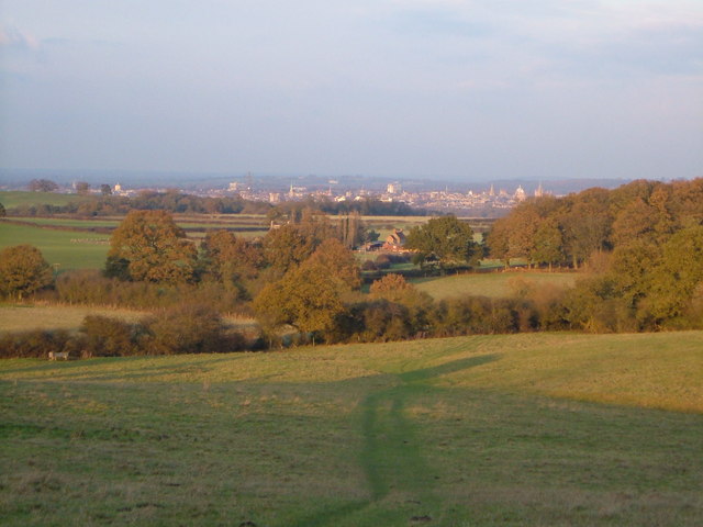
Foxcombe Hill is a prominent geographical feature located in Berkshire, England. Situated near the village of Boxford, it is a chalk hill that offers breathtaking views of the surrounding countryside. With an elevation of approximately 218 meters (715 feet), it stands as one of the highest points in the region.
The hill is known for its rich history, dating back centuries. It is believed to have been occupied since prehistoric times, with evidence of Iron Age settlements found in the area. The hill has also played a significant role in military history, serving as a strategic vantage point during various conflicts.
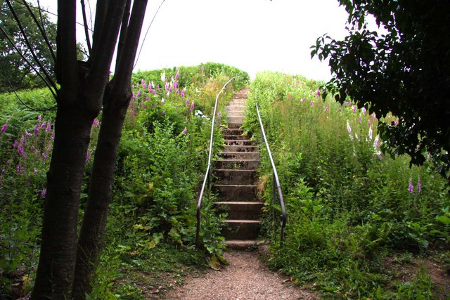
Today, Foxcombe Hill is a popular destination for outdoor enthusiasts and nature lovers. It is a designated Area of Outstanding Natural Beauty, boasting diverse flora and fauna. Visitors can enjoy walking trails that wind through the hillside, providing opportunities to appreciate the stunning landscape and spot wildlife.
The hill is also home to an array of archaeological sites, including burial mounds and ancient earthworks. These remnants offer a glimpse into the area's past and attract history enthusiasts and researchers alike.
Moreover, Foxcombe Hill is known for its tranquil atmosphere, making it an ideal spot for picnics or simply enjoying the serenity of the surroundings. Its panoramic views offer a picturesque backdrop for photography enthusiasts, capturing the beauty of the Berkshire countryside.
Overall, Foxcombe Hill is a cherished natural and historical landmark in Berkshire, attracting visitors with its scenic beauty, biodiversity, and intriguing past.
If you have any feedback on the listing, please let us know in the comments section below.
Foxcombe Hill Images
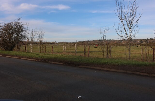
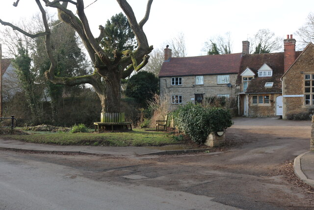
Images are sourced within 2km of 51.713551/-1.290294 or Grid Reference SP4901. Thanks to Geograph Open Source API. All images are credited.


Foxcombe Hill is located at Grid Ref: SP4901 (Lat: 51.713551, Lng: -1.290294)
Administrative County: Oxfordshire
District: Vale of White Horse
Police Authority: Thames Valley
What 3 Words
///play.dogs.tiger. Near Radley, Oxfordshire
Nearby Locations
Related Wikis
Boars Hill
Boars Hill is a hamlet 3 miles (5 km) southwest of Oxford, straddling the boundary between the civil parishes of Sunningwell and Wootton. Historically...
Jarn Mound
Jarn Mound is a mound on Boars Hill which was completed in 1931. It was commissioned by Sir Arthur Evans to provide and preserve the view of the "dreaming...
Midvale Ridge
The Midvale Ridge is a natural region in South Central England formed by a band of low-lying limestone hills that run from southeast to northwest from...

Chilswell
Chilswell is a small settlement in the parish of Cumnor, Oxfordshire. It lies between the village of South Hinksey and Boars Hill. In 1974 it was transferred...

Sunningwell
Sunningwell is a village and civil parish about 3+1⁄2 miles (6 km) south of Oxford, England. The parish includes the village of Bayworth and the eastern...
Chandlings
Chandlings, or Chandlings Prep School, known until 2007 as Chandlings Manor School, is an independent co-educational preparatory school at Bagley Wood...

Wootton, Vale of White Horse
Wootton is a village and civil parish in the Vale of White Horse about 3 miles (5 km) north-west of Abingdon. It was part of Berkshire until the 1974 boundary...

Henwood
Henwood is a hamlet about 3.5 miles (5.6 km) south-west of Oxford, England. Henwood is in the Wootton civil parish in the Vale of White Horse district...
Nearby Amenities
Located within 500m of 51.713551,-1.290294Have you been to Foxcombe Hill?
Leave your review of Foxcombe Hill below (or comments, questions and feedback).