Broom Hill Copse
Wood, Forest in Berkshire Vale of White Horse
England
Broom Hill Copse

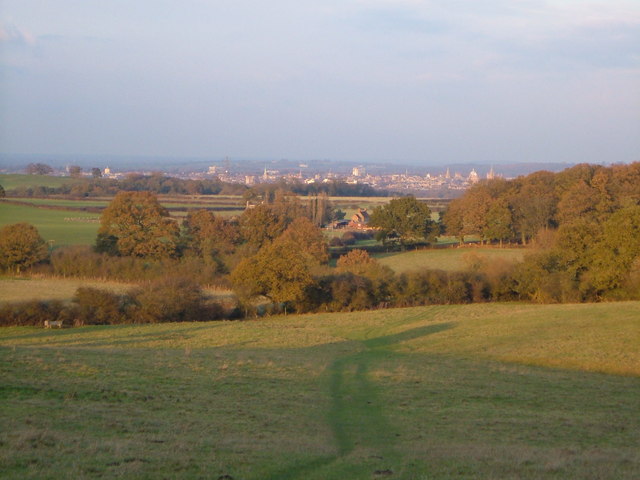
Broom Hill Copse is a picturesque woodland located in the county of Berkshire, England. Situated near the town of Bracknell, this tranquil forest covers an area of approximately 120 acres, making it a popular destination for nature enthusiasts and outdoor adventurers alike.
The copse is characterized by its diverse range of tree species, including oak, beech, birch, and pine, which create a rich and vibrant ecosystem. The dense foliage provides a haven for numerous woodland creatures, such as deer, foxes, and various bird species, making it an ideal location for wildlife spotting and birdwatching.
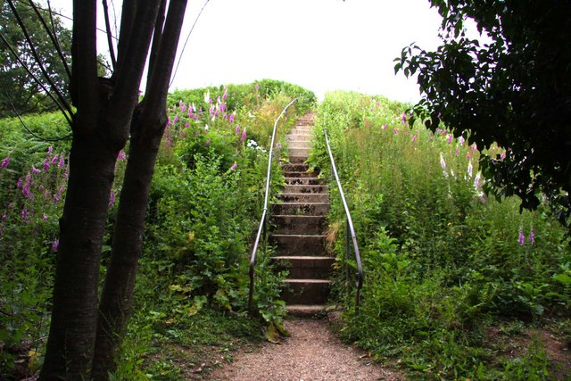
Visitors to Broom Hill Copse can explore a network of well-maintained footpaths and trails that wind their way through the forest. These paths offer a chance to immerse oneself in the natural beauty of the surroundings and provide opportunities for peaceful walks and gentle hikes.
The copse also boasts a small stream that meanders through its heart, adding to the enchanting atmosphere of the woodland. The stream serves as a water source for many of the resident animals and adds to the overall biodiversity of the area.
Broom Hill Copse is a beloved spot for locals and visitors alike, offering a peaceful retreat from the hustle and bustle of everyday life. The forest provides a beautiful backdrop for picnics, family outings, and photography enthusiasts, who can capture the stunning scenery and flora that changes with the seasons.
Overall, Broom Hill Copse is a hidden gem in the Berkshire countryside, where nature and tranquility combine to create a truly magical experience for all who visit.
If you have any feedback on the listing, please let us know in the comments section below.
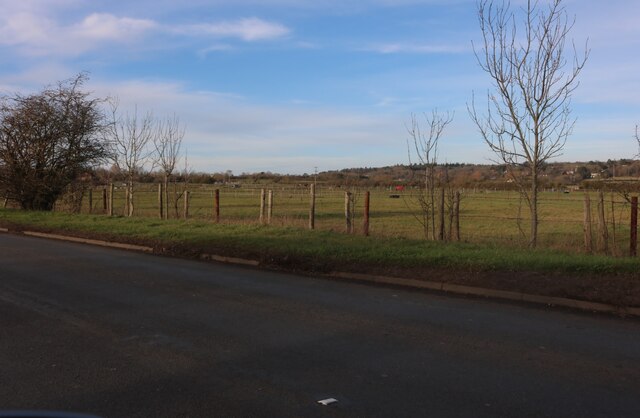
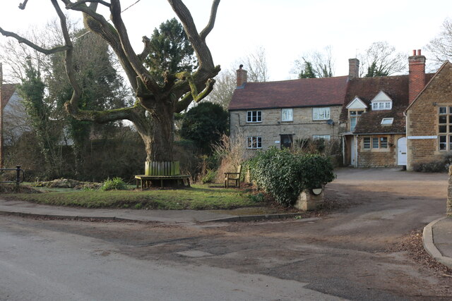
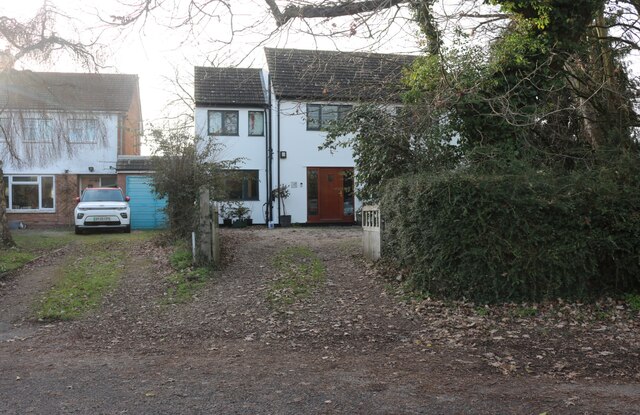
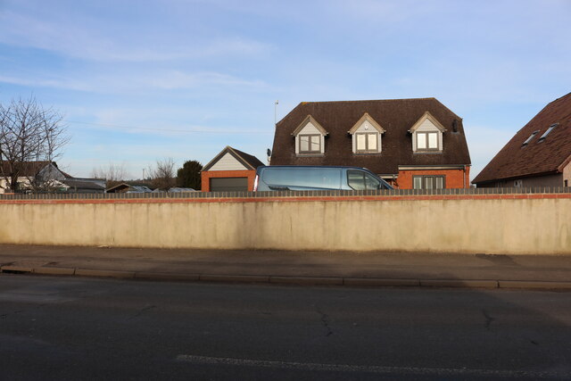
Broom Hill Copse Images
Images are sourced within 2km of 51.705918/-1.2917004 or Grid Reference SP4901. Thanks to Geograph Open Source API. All images are credited.


Broom Hill Copse is located at Grid Ref: SP4901 (Lat: 51.705918, Lng: -1.2917004)
Administrative County: Oxfordshire
District: Vale of White Horse
Police Authority: Thames Valley
What 3 Words
///wrist.troll.copycat. Near Abingdon, Oxfordshire
Nearby Locations
Related Wikis

Sunningwell
Sunningwell is a village and civil parish about 3+1⁄2 miles (6 km) south of Oxford, England. The parish includes the village of Bayworth and the eastern...
Midvale Ridge
The Midvale Ridge is a natural region in South Central England formed by a band of low-lying limestone hills that run from southeast to northwest from...
Boars Hill
Boars Hill is a hamlet 3 miles (5 km) southwest of Oxford, straddling the boundary between the civil parishes of Sunningwell and Wootton. Historically...
Jarn Mound
Jarn Mound is a mound on Boars Hill which was completed in 1931. It was commissioned by Sir Arthur Evans to provide and preserve the view of the "dreaming...

Wootton, Vale of White Horse
Wootton is a village and civil parish in the Vale of White Horse about 3 miles (5 km) north-west of Abingdon. It was part of Berkshire until the 1974 boundary...
Bayworth
Bayworth is a hamlet in the civil parish of Sunningwell about 3 miles (5 km) south of Oxford. Bayworth was part of Berkshire until the 1974 boundary changes...
Chandlings
Chandlings, or Chandlings Prep School, known until 2007 as Chandlings Manor School, is an independent co-educational preparatory school at Bagley Wood...

Tilsley Park
Tilsley Park is an athletics stadium in Abingdon-on-Thames, Oxfordshire, which is home to Oxford Saints American Football Club. It is managed by Abingdon...
Related Videos
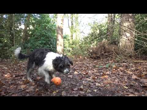
Dog Walking
Ludo & Phoebe Nr Abingdon Sony RX100mk4 on a CraneM gimbal @ 1080 25p.
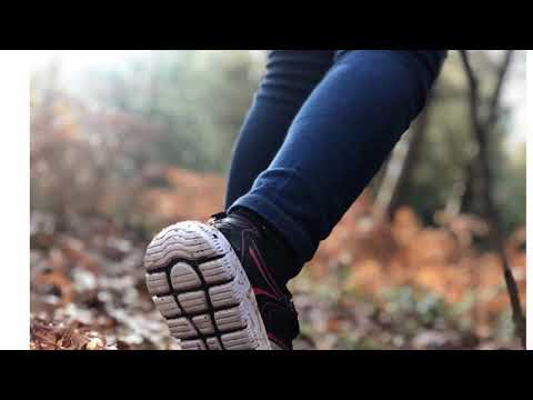
Sunday Walks
I went for a walk at Bagley Woods in Oxfordshire.

Holidays with my mates
Hi everyone, long time no see. This video is about my 3 days holiday trip to london, durddle door and lavender field. I hope you ...

Jarn mound and Boars Hill. ground level and drone, photos at the end.
End of August (bank holiday Monday) 2019. A bit a few weeks later as well. Got nicer higher footage. Not had the Hubsan drone 4 ...
Nearby Amenities
Located within 500m of 51.705918,-1.2917004Have you been to Broom Hill Copse?
Leave your review of Broom Hill Copse below (or comments, questions and feedback).