Moat Wood
Wood, Forest in Yorkshire
England
Moat Wood

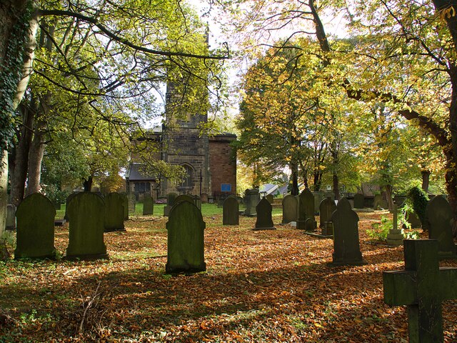
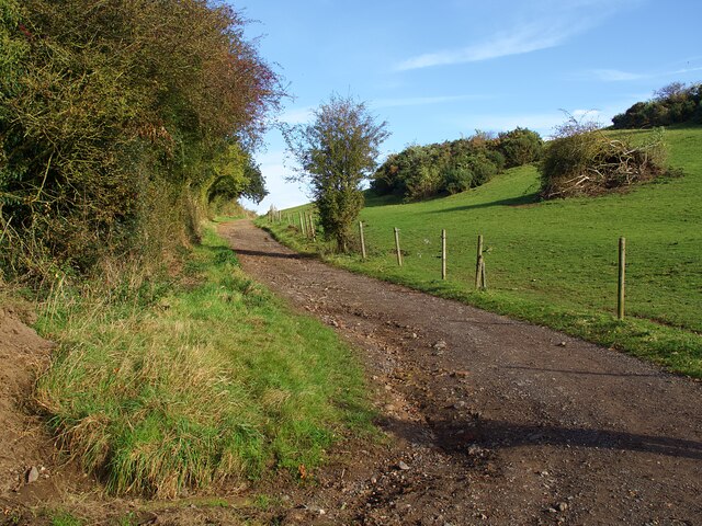
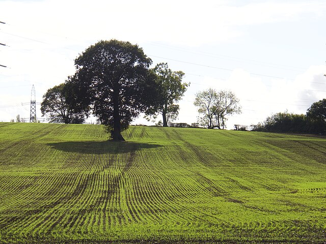
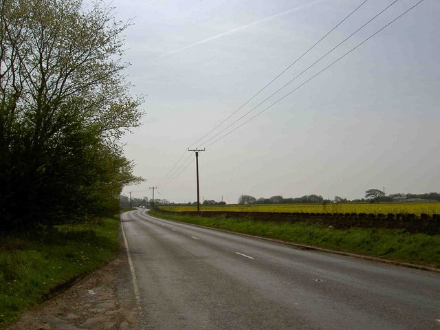
Moat Wood is a picturesque forest located in Yorkshire, England. It covers an area of approximately 100 acres and is known for its diverse range of flora and fauna. The wood is situated in a rural area, surrounded by rolling hills and meadows, making it a popular destination for nature enthusiasts and hikers.
The forest is predominantly composed of native tree species such as oak, birch, and beech, which provide a dense canopy and create a tranquil and shaded environment. The woodland floor is adorned with a variety of wildflowers, including bluebells, primroses, and wood anemones, creating a vibrant and colorful display during springtime.
Moat Wood is also home to a rich assortment of wildlife. Visitors may spot various bird species, including woodpeckers, owls, and thrushes, as well as mammals like deer, foxes, and badgers. The forest provides a natural habitat for these creatures, offering ample food sources and shelter.
For those seeking outdoor activities, Moat Wood offers several walking trails that wind through the forest, providing an opportunity to explore its natural splendor. There are also designated picnic areas and benches scattered throughout the wood, allowing visitors to rest and enjoy the peaceful surroundings.
Overall, Moat Wood in Yorkshire is a haven of tranquility and natural beauty. Its diverse plant and animal life, along with its scenic landscapes, make it a must-visit destination for anyone seeking to immerse themselves in nature.
If you have any feedback on the listing, please let us know in the comments section below.
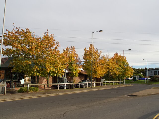
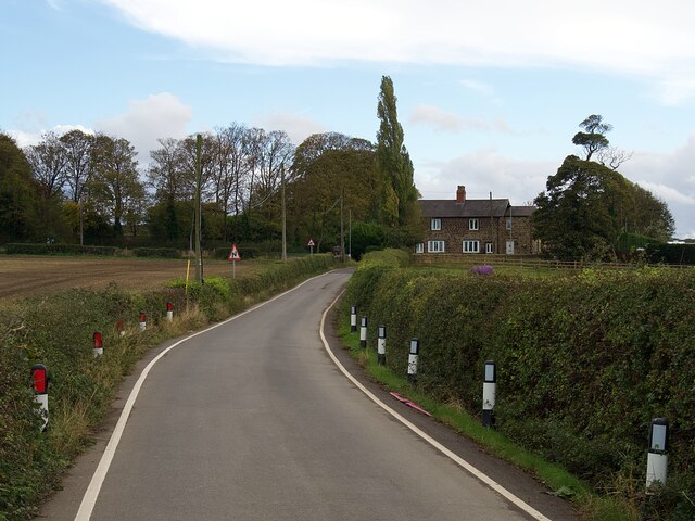
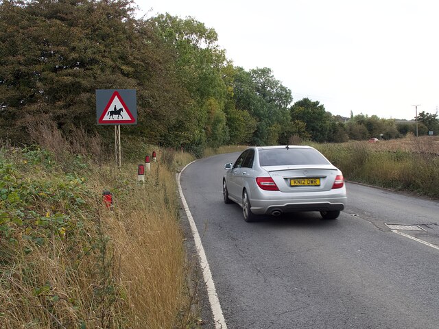
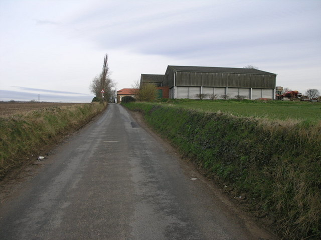
Moat Wood Images
Images are sourced within 2km of 53.40669/-1.2639747 or Grid Reference SK4990. Thanks to Geograph Open Source API. All images are credited.


Moat Wood is located at Grid Ref: SK4990 (Lat: 53.40669, Lng: -1.2639747)
Division: West Riding
Unitary Authority: Rotherham
Police Authority: South Yorkshire
What 3 Words
///basically.blocks.trainers. Near Bramley, South Yorkshire
Nearby Locations
Related Wikis
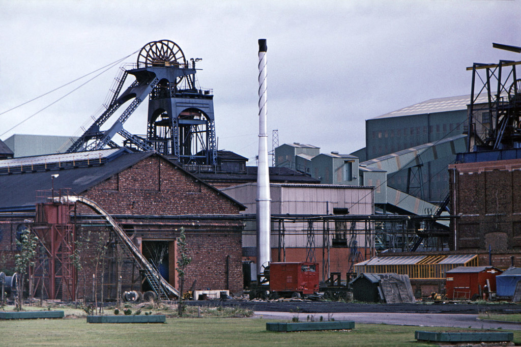
Thurcroft Colliery
Thurcroft Colliery was a coal mine situated in the village of Thurcroft, near Rotherham, South Yorkshire, England. In 1902, the Rother Vale Colliery Company...

Wickersley School and Sports College
Wickersley School and Sports College is a coeducational secondary school and sixth form with academy status, located in Wickersley in the Metropolitan...

Wickersley
Wickersley is a village and civil parish in the Metropolitan Borough of Rotherham in South Yorkshire, England, situated 3 miles (5 km) from the centre...
Thurcroft
Thurcroft is a village and civil parish situated south-east of Rotherham in the Metropolitan Borough of Rotherham in South Yorkshire, England. From 1902...
Nearby Amenities
Located within 500m of 53.40669,-1.2639747Have you been to Moat Wood?
Leave your review of Moat Wood below (or comments, questions and feedback).