Fox Covert

Wood, Forest in Yorkshire Hambleton

England

Fox Covert

The road to Rudby A section of the road from Stokesley to Hutton Rudby, a large 'twin' village, part of which likes to be known simply as 'Rudby'.
The road to Rudby Credit: Gordon Hatton

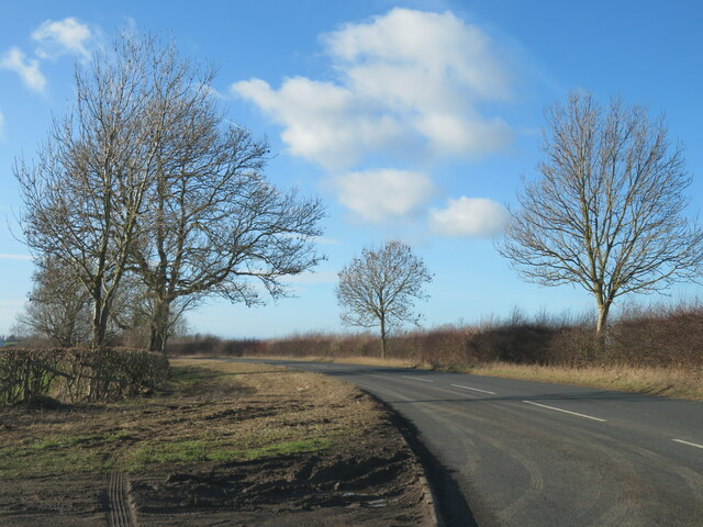
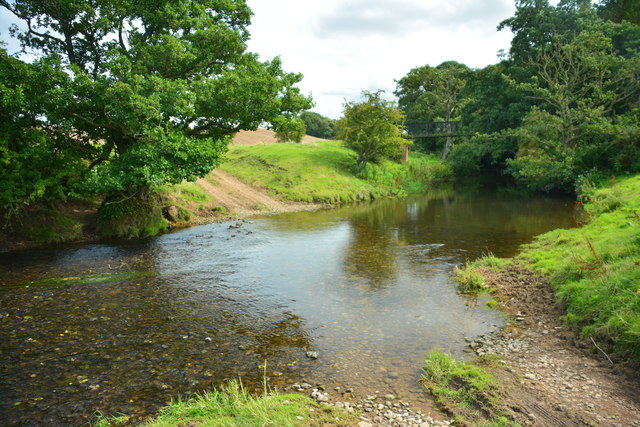
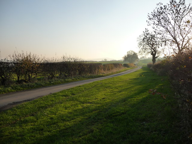
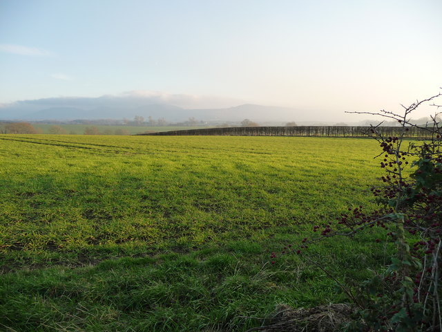
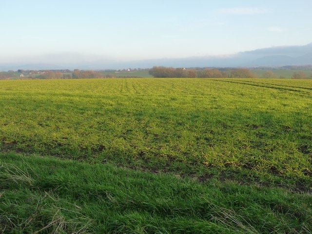
Fox Covert is a picturesque woodland located in the county of Yorkshire, England. Situated in the heart of the region, it is part of the larger forested area known as Yorkshire Wood. Covering an expansive area, Fox Covert is renowned for its natural beauty and diverse wildlife.

The woodland is characterized by its dense canopy of trees, primarily consisting of oak, beech, and ash. This rich tapestry of foliage creates a serene and tranquil atmosphere, making it a popular destination for nature enthusiasts and hikers. Walking trails meander through the forest, providing visitors with the opportunity to explore the various habitats and enjoy the stunning views.

Fox Covert is home to a wide range of wildlife, including numerous species of birds, mammals, and insects. Birdwatchers often flock to the area to catch a glimpse of rare species such as the nightjar and tawny owl. Foxes, badgers, and deer are also commonly spotted within the woodland, adding to its allure.

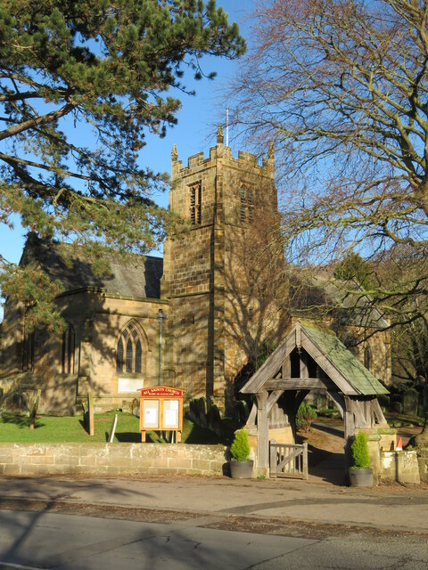
In addition to its natural beauty, Fox Covert also boasts a rich history. The woodland has been a significant part of the local community for centuries, with evidence of human activity dating back to ancient times. Today, remnants of old structures can still be found, offering a glimpse into the past.

Overall, Fox Covert in Yorkshire is a truly enchanting place. Its lush greenery, diverse wildlife, and fascinating history make it a must-visit destination for anyone seeking a peaceful and immersive natural experience.

If you have any feedback on the listing, please let us know in the comments section below.

Fox Covert Images

Images are sourced within 2km of 54.452498/-1.2454083 or Grid Reference NZ4906. Thanks to Geograph Open Source API. All images are credited.

The road to Rudby A section of the road from Stokesley to Hutton Rudby, a large 'twin' village, part of which likes to be known simply as 'Rudby'.
The road to Rudby
A section of the road from Stokesley to Hutton Rudby, a large 'twin' village, part of which likes to be known simply as 'Rudby'.
All Saints Church The church is actually at Rudby in Cleveland, although it serves the combined village of Hutton Rudby.
All Saints Church
The church is actually at Rudby in Cleveland, although it serves the combined village of Hutton Rudby.
The Leven at Hutton Rudby Seen from the bridge that links the two halves of the village. The River Leven has a curious course, flowing mostly westwards from its source on the moors, before eventually turning north to join the Tees.
The Leven at Hutton Rudby
Seen from the bridge that links the two halves of the village. The River Leven has a curious course, flowing mostly westwards from its source on the moors, before eventually turning north to join the Tees.
Bus stop and letterbox in Rudby The road forms part of National Cycle Network route 65.
Bus stop and letterbox in Rudby
The road forms part of National Cycle Network route 65.
All Saints Church The Church in Rudby just north of the River Leven.
All Saints Church
The Church in Rudby just north of the River Leven.
Weir on the River Leven Looking down on the River Leven from the bridge in Rudby.
Weir on the River Leven
Looking down on the River Leven from the bridge in Rudby.
An overly engineered steel bridge over Potto Slack
A172 traffic Looking north.
A172 traffic
Looking north.
Wheat on Crake Hill
Wheat on Crake Hill
Wheatsheaf, Hutton Rudby A lot of blue and yellow bikes in the village and outside surrounding farms, celebrating the Tour of Yorkshire.
Wheatsheaf, Hutton Rudby
A lot of blue and yellow bikes in the village and outside surrounding farms, celebrating the Tour of Yorkshire.
Hutton Bank Blue and yellow bikes outside The Bay Horse, celebrating the Tour de Yorkshire.
Hutton Bank
Blue and yellow bikes outside The Bay Horse, celebrating the Tour de Yorkshire.
Hutton Bridge The cleft of the River Leven separates the two ancient settlements of Hoton and Rodebi, now widely known together as Hutton Rudby. Hoton, from hoh tun, is Old English meaning high settlement. Rodebi or Rudi's farm is Scandinavian. Two ethnically different communities living side by side and slowly over the years becoming one.
Hutton Bridge
The cleft of the River Leven separates the two ancient settlements of Hoton and Rodebi, now widely known together as Hutton Rudby. Hoton, from hoh tun, is Old English meaning high settlement. Rodebi or Rudi's farm is Scandinavian. Two ethnically different communities living side by side and slowly over the years becoming one.
Ordnance Survey Cut Bench Mark This Ordnance Survey mark was used as part of the levelling process for the OS map of 1853. The height recorded was 165.2ft above the mean sea level at Liverpool.
Ordnance Survey Cut Bench Mark
This Ordnance Survey mark was used as part of the levelling process for the OS map of 1853. The height recorded was 165.2ft above the mean sea level at Liverpool.
Hutton Rudby Ford This ford on the River Leven is found below Sexhow Hall Farm at Hutton Rudby.
A video of the ford can be viewed at:
<span class="nowrap"><a title="https://youtu.be/nVLJBG6dAP8" rel="nofollow ugc noopener" href="https://youtu.be/nVLJBG6dAP8">Link</a><img style="margin-left:2px;" alt="External link" title="External link - shift click to open in new window" src="https://s1.geograph.org.uk/img/external.png" width="10" height="10"/></span>
Hutton Rudby Ford
This ford on the River Leven is found below Sexhow Hall Farm at Hutton Rudby. A video of the ford can be viewed at: LinkExternal link
Ordnance Survey Cut Mark This OS cut mark can be found on the west face of All Saints Church. It marks a point 50.283m above mean sea level.
Ordnance Survey Cut Mark
This OS cut mark can be found on the west face of All Saints Church. It marks a point 50.283m above mean sea level.
Wide verge on Holme Lane, near Windy Hill The lane is heading south-west, between Seamer and Hutton Rudby.
Wide verge on Holme Lane, near Windy Hill
The lane is heading south-west, between Seamer and Hutton Rudby.
Hedged field, west of Hobshaddow Plantation About 70 metres above sea level, on the east side of Holme Lane.
Hedged field, west of Hobshaddow Plantation
About 70 metres above sea level, on the east side of Holme Lane.
Farmland at Hollow Leighs The distant trees are in the valley of Carr Stell.
Farmland at Hollow Leighs
The distant trees are in the valley of Carr Stell.
Show me another place!

Fox Covert is located at Grid Ref: NZ4906 (Lat: 54.452498, Lng: -1.2454083)

Division: North Riding

Administrative County: North Yorkshire

District: Hambleton

Police Authority: North Yorkshire

What 3 Words

///equal.mess.tungsten. Near Stokesley, North Yorkshire

Nearby Locations

Calf Close Hill Fox Covert

Related Wikis

Skutterskelfe

Skutterskelfe is a civil parish in the Hambleton district of North Yorkshire, England and lies to the north of the River Leven. The population of the parish...

Rudby Hall

Rudby Hall, Hutton Rudby, Skutterskelfe, North Yorkshire is a country house dating from 1838. Its origins are older but the present building was built...

Sexhow railway station

Sexhow railway station was a railway station built to serve the hamlet of Sexhow in North Yorkshire, England. The station was on the North Yorkshire and...

Sexhow

Sexhow is a hamlet and civil parish in Hambleton district of North Yorkshire, England. The name of the hamlet derives from Old Norse of either sexhou or...

Rudby

Rudby is a village and civil parish, 4 miles (6.4 km) from the market town of Stokesley in the Hambleton District of North Yorkshire, England. == Geography... ==

Hutton Rudby

Hutton Rudby is a village and civil parish situated 4 miles (6.4 km) west of the market town of Stokesley in the Hambleton District, North Yorkshire, England...

Little Busby

Little Busby is a civil parish in the Hambleton District of North Yorkshire, England. It is near the North York Moors and Stokesley. It is pronounced little...

Carlton in Cleveland

Carlton in Cleveland is a village in the district of North Yorkshire, England, and on the edge of the North York Moors National Park. It is situated approximately...

Have you been to Fox Covert?

Leave your review of Fox Covert below (or comments, questions and feedback).