Nursery Plantation
Wood, Forest in Norfolk Broadland
England
Nursery Plantation
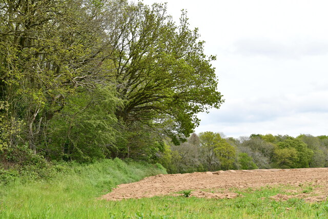
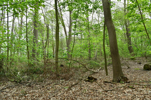
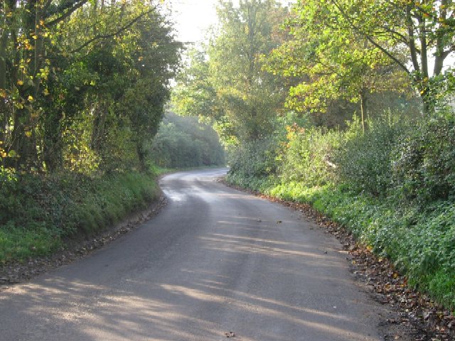
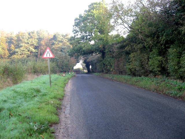
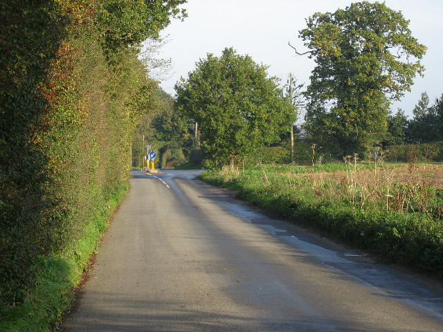
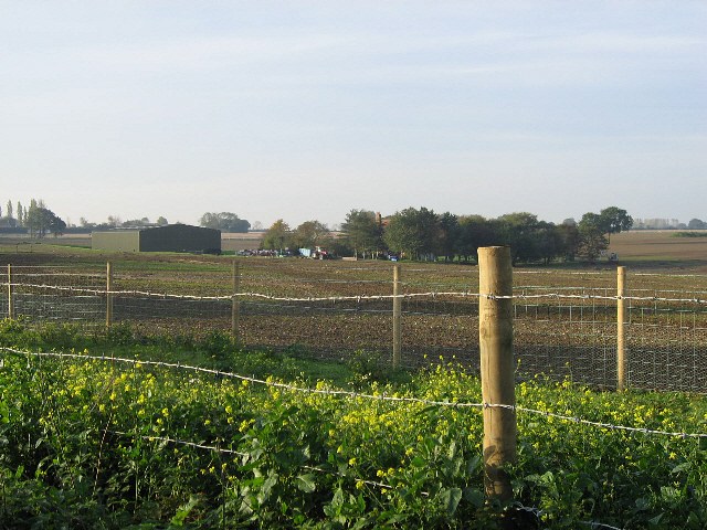
Nursery Plantation, located in Norfolk, England, is a picturesque woodland area known for its diverse range of trees and plants. Spanning across a vast area, this plantation is a haven for nature enthusiasts and researchers alike, offering a unique opportunity to explore and learn about various species of trees and shrubs.
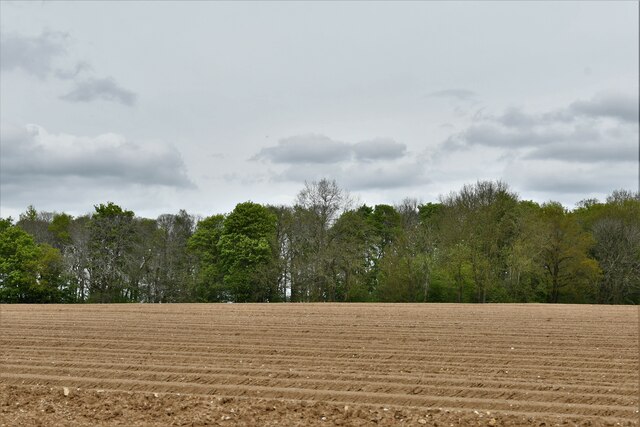
The plantation is primarily composed of deciduous and coniferous trees, creating a harmonious blend of colors throughout the year. Visitors can expect to see majestic oak, beech, and ash trees, alongside the evergreen presence of spruce and pine. This mix of species provides a rich habitat for a wide array of wildlife, including birds, squirrels, and insects.
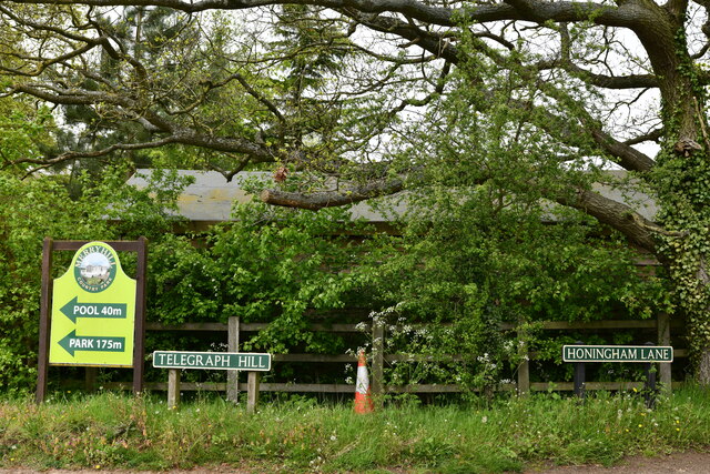
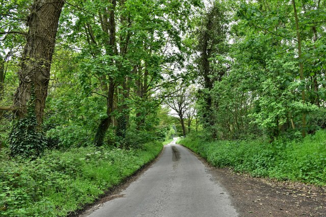
The plantation offers well-maintained walking trails, allowing visitors to immerse themselves in the natural beauty of the woodland. Along the paths, informational signs provide details about the different tree species, their history, and ecological significance. It is not uncommon to encounter passionate botanists and nature enthusiasts eager to share their knowledge and engage in conversation about the plantation's flora and fauna.
Nursery Plantation also serves as a nursery for local gardening enthusiasts, providing a wide selection of plants and trees for sale. The knowledgeable staff are always on hand to offer advice and guidance, ensuring that customers find the perfect additions for their gardens.
Overall, Nursery Plantation, Norfolk is a breathtaking woodland area that not only showcases the beauty of nature but also offers educational opportunities for those interested in botany and ecology. Its diverse range of trees, well-maintained trails, and knowledgeable staff make it a must-visit destination for anyone seeking a peaceful and enriching experience in the heart of Norfolk's woodlands.
If you have any feedback on the listing, please let us know in the comments section below.
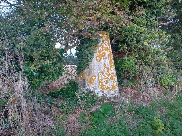
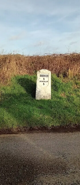
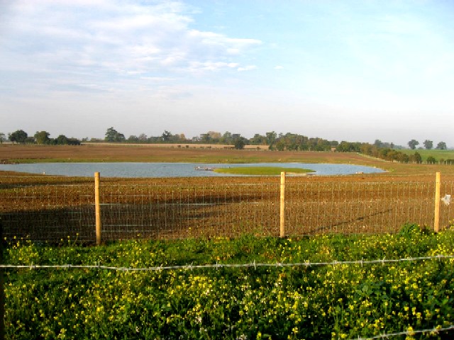
Nursery Plantation Images
Images are sourced within 2km of 52.666742/1.1175026 or Grid Reference TG1012. Thanks to Geograph Open Source API. All images are credited.


Nursery Plantation is located at Grid Ref: TG1012 (Lat: 52.666742, Lng: 1.1175026)
Administrative County: Norfolk
District: Broadland
Police Authority: Norfolk
What 3 Words
///geology.comical.observers. Near Mattishall, Norfolk
Nearby Locations
Related Wikis

Honingham Hall
Honingham Hall was a large country house at Honingham in Norfolk. == History == The house was commissioned by Sir Thomas Richardson, Chief Justice of the...

Honingham
Honingham is a village and civil parish in the English county of Norfolk, located 8 miles (13 km) to the west of Norwich along the A47 trunk road. It covers...

Colton, Norfolk
Colton is a village and former civil parish, 8 miles (13 km) west of Norwich, now in the parish of Marlingford and Colton, in the South Norfolk district...

East Tuddenham
East Tuddenham is a village in the English county of Norfolk. The village is located 5.6 miles (9.0 km) south-west of Dereham and 9.5 miles (15.3 km) north...

RAF Attlebridge
Royal Air Force Attlebridge, or simply RAF Attlebridge, is a former Royal Air Force station located near Attlebridge and 8 miles (13 km) northwest of Norwich...

Marlingford and Colton
Marlingford and Colton, formerly Marlingford is a civil parish in the English county of Norfolk, made from the villages of Colton and Marlingford. It covers...

Easton, Norfolk
Easton is a village and civil parish in the English county of Norfolk. The village is located 6.2 miles (10.0 km) north-west of Norwich and 9 miles (14...

Ringland, Norfolk
Ringland is a village and civil parish in Norfolk, England, and in the valley of the River Wensum, approximately 7 miles (11 km) north-west of Norwich...
Nearby Amenities
Located within 500m of 52.666742,1.1175026Have you been to Nursery Plantation?
Leave your review of Nursery Plantation below (or comments, questions and feedback).