Hall Lane Belt
Wood, Forest in Norfolk Broadland
England
Hall Lane Belt
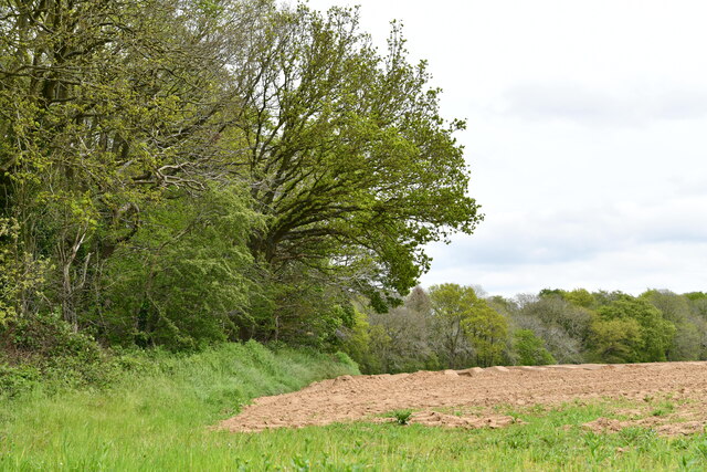
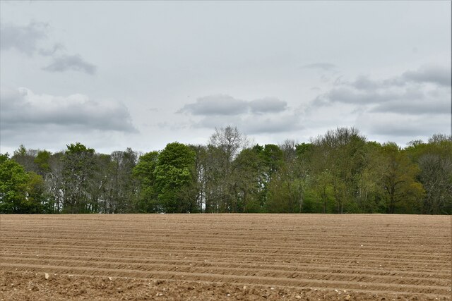
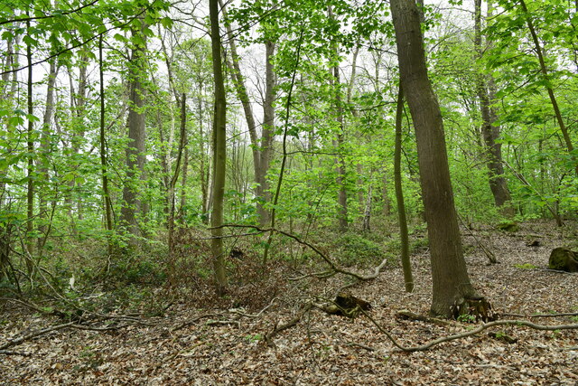
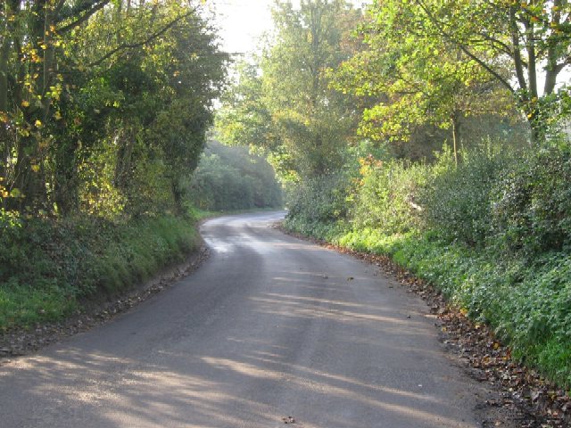
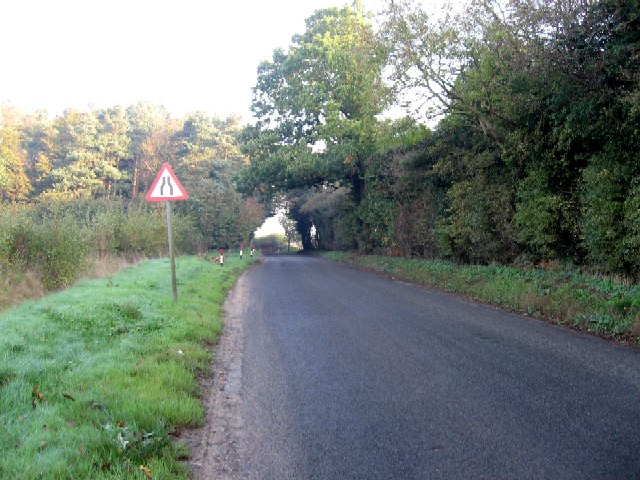
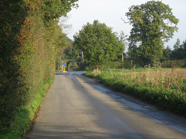
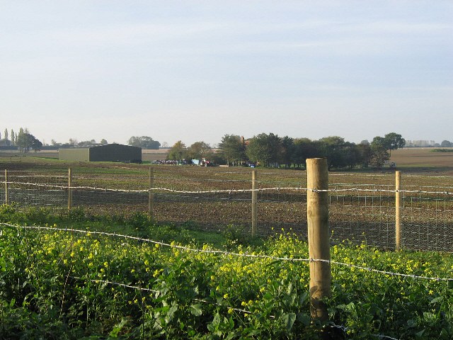
Hall Lane Belt is a picturesque woodland area situated in Norfolk, England. Covering an expansive area, the belt is known for its dense growth of trees and vibrant wildlife. The woodland is predominantly composed of broadleaf trees, including oak, beech, and birch, which create a rich canopy overhead. These trees provide a haven for a variety of bird species, such as woodpeckers, owls, and warblers, making it a popular destination for birdwatchers.
The forest floor of Hall Lane Belt is adorned with a carpet of wildflowers, adding bursts of color to the already enchanting scenery. Bluebells, primroses, and violets are just a few of the species that can be found here. Additionally, the woodland is home to a diverse range of fauna, including badgers, foxes, and deer, which can often be spotted grazing or foraging amongst the trees.
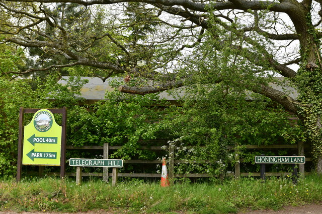
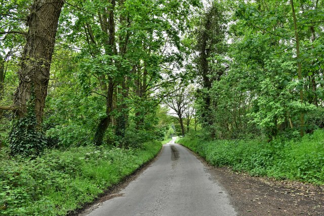
Hall Lane Belt offers visitors a tranquil and serene environment, making it an ideal location for nature walks and hikes. There are several well-maintained trails that wind through the woodland, allowing visitors to immerse themselves in the beauty of nature. The peaceful atmosphere and stunning vistas make it an excellent spot for photography enthusiasts.
With its abundance of natural beauty and diverse wildlife, Hall Lane Belt is a hidden gem in Norfolk. Whether it's birdwatching, nature walks, or simply enjoying the peaceful surroundings, this woodland offers something for everyone seeking a peaceful escape in the heart of nature.
If you have any feedback on the listing, please let us know in the comments section below.
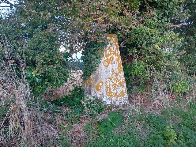
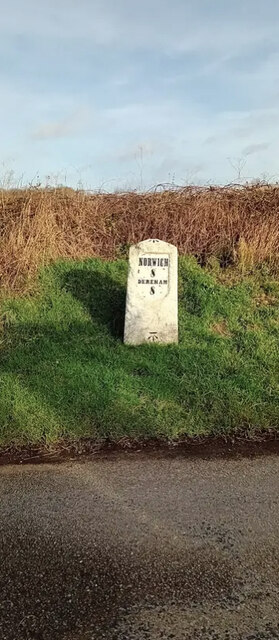
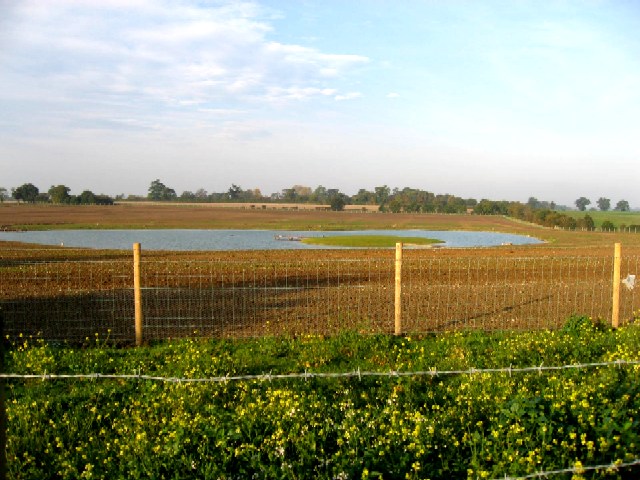
Hall Lane Belt Images
Images are sourced within 2km of 52.668136/1.1154569 or Grid Reference TG1012. Thanks to Geograph Open Source API. All images are credited.


Hall Lane Belt is located at Grid Ref: TG1012 (Lat: 52.668136, Lng: 1.1154569)
Administrative County: Norfolk
District: Broadland
Police Authority: Norfolk
What 3 Words
///safest.cashiers.bunk. Near Mattishall, Norfolk
Nearby Locations
Related Wikis

Honingham Hall
Honingham Hall was a large country house at Honingham in Norfolk. == History == The house was commissioned by Sir Thomas Richardson, Chief Justice of the...

Honingham
Honingham is a village and civil parish in the English county of Norfolk, located 8 miles (13 km) to the west of Norwich along the A47 trunk road. It covers...

East Tuddenham
East Tuddenham is a village in the English county of Norfolk. The village is located 5.6 miles (9.0 km) south-west of Dereham and 9.5 miles (15.3 km) north...

Colton, Norfolk
Colton is a village and former civil parish, 8 miles (13 km) west of Norwich, now in the parish of Marlingford and Colton, in the South Norfolk district...

RAF Attlebridge
Royal Air Force Attlebridge, or simply RAF Attlebridge, is a former Royal Air Force station located near Attlebridge and 8 miles (13 km) northwest of Norwich...
Hockering
Hockering is a village and civil parish in Norfolk, England. At the 2001 census the parish had a population of 628. By 2007, the district estimated that...

Marlingford and Colton
Marlingford and Colton, formerly Marlingford is a civil parish in the English county of Norfolk, made from the villages of Colton and Marlingford. It covers...

Easton, Norfolk
Easton is a village and civil parish in the English county of Norfolk. The village is located 6.2 miles (10.0 km) north-west of Norwich and 9 miles (14...
Nearby Amenities
Located within 500m of 52.668136,1.1154569Have you been to Hall Lane Belt?
Leave your review of Hall Lane Belt below (or comments, questions and feedback).