Ash Covert
Wood, Forest in Norfolk Broadland
England
Ash Covert
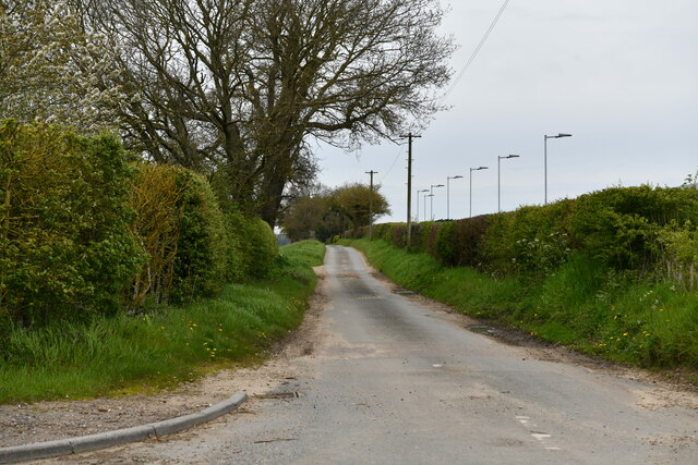
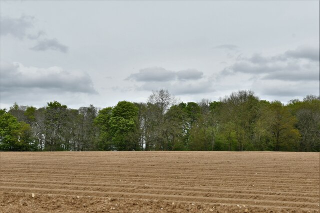
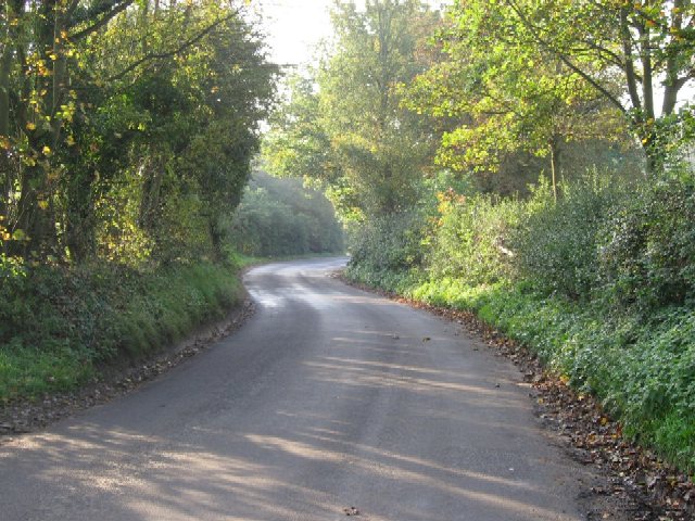
Ash Covert is a small woodland area located in Norfolk, England. Situated near the village of Ashwellthorpe, this woodland is known for its picturesque beauty and rich biodiversity. Covering an area of approximately 20 hectares, Ash Covert is a popular destination for nature enthusiasts and hikers.
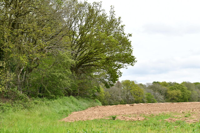
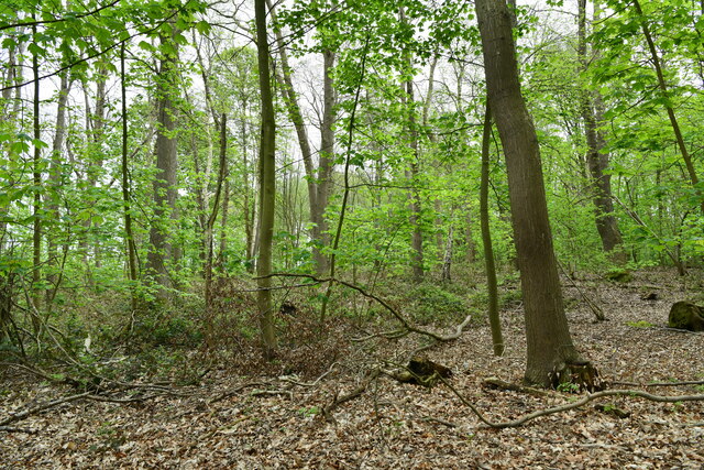
The woodland is predominantly made up of ash trees, which give the area its name. These tall and slender trees create a dense canopy, casting dappled sunlight onto the forest floor. The undergrowth is varied and includes ferns, bluebells, and wild garlic, adding to the enchanting atmosphere of the woodland.
Ash Covert is home to a diverse range of wildlife. Birdwatchers can spot various species, including woodpeckers, owls, and warblers. Small mammals such as rabbits, foxes, and badgers also inhabit the woodland, while the presence of bats adds to the nocturnal activity.
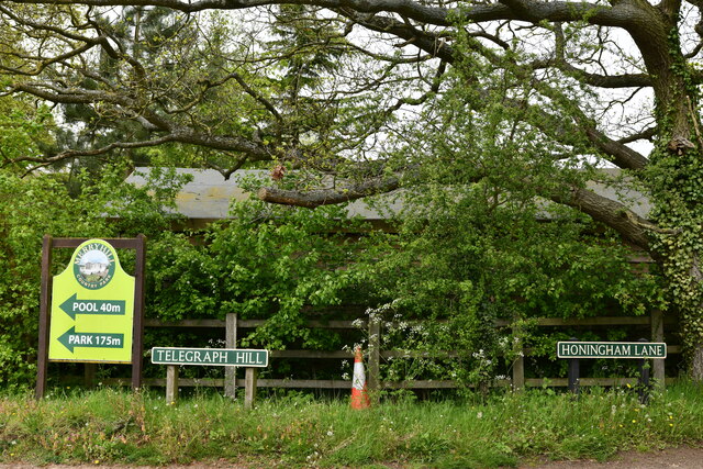
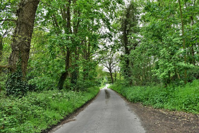
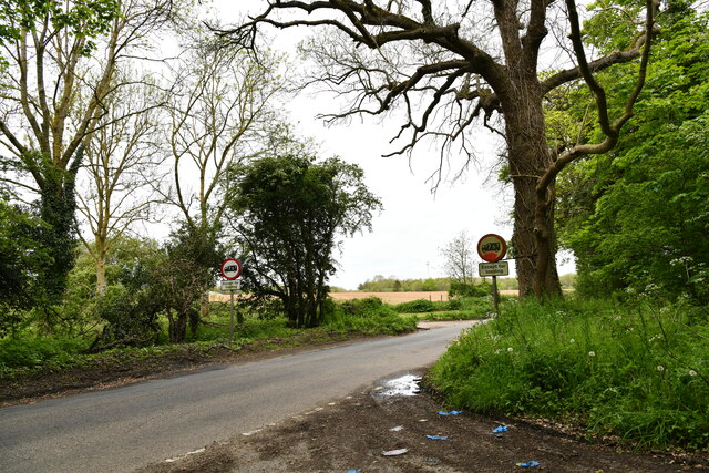
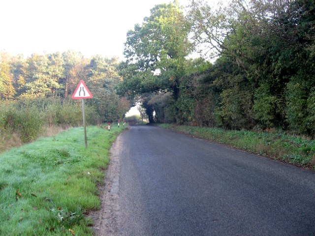
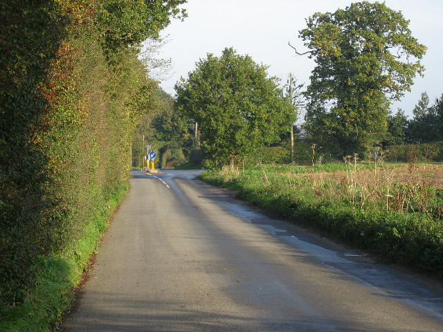
Several footpaths and trails wind their way through Ash Covert, providing visitors with opportunities to explore its natural beauty. The woodlands are well-maintained, with clear paths and signposts to ensure a pleasant and safe experience for visitors.
The tranquility and seclusion of Ash Covert make it an ideal place for relaxation and contemplation. Whether it's for a leisurely walk, birdwatching, or simply immersing oneself in nature, this woodland offers a serene escape from the hustle and bustle of everyday life.
If you have any feedback on the listing, please let us know in the comments section below.
Ash Covert Images
Images are sourced within 2km of 52.665461/1.1180178 or Grid Reference TG1012. Thanks to Geograph Open Source API. All images are credited.


Ash Covert is located at Grid Ref: TG1012 (Lat: 52.665461, Lng: 1.1180178)
Administrative County: Norfolk
District: Broadland
Police Authority: Norfolk
What 3 Words
///dreamers.fancy.loaning. Near Mattishall, Norfolk
Nearby Locations
Related Wikis

Honingham Hall
Honingham Hall was a large country house at Honingham in Norfolk. == History == The house was commissioned by Sir Thomas Richardson, Chief Justice of the...

Honingham
Honingham is a village and civil parish in the English county of Norfolk, located 8 miles (13 km) to the west of Norwich along the A47 trunk road. It covers...

Colton, Norfolk
Colton is a village and former civil parish, 8 miles (13 km) west of Norwich, now in the parish of Marlingford and Colton, in the South Norfolk district...

East Tuddenham
East Tuddenham is a village in the English county of Norfolk. The village is located 5.6 miles (9.0 km) south-west of Dereham and 9.5 miles (15.3 km) north...

Marlingford and Colton
Marlingford and Colton, formerly Marlingford is a civil parish in the English county of Norfolk, made from the villages of Colton and Marlingford. It covers...

Easton, Norfolk
Easton is a village and civil parish in the English county of Norfolk. The village is located 6.2 miles (10.0 km) north-west of Norwich and 9 miles (14...

RAF Attlebridge
Royal Air Force Attlebridge, or simply RAF Attlebridge, is a former Royal Air Force station located near Attlebridge and 8 miles (13 km) northwest of Norwich...

Ringland, Norfolk
Ringland is a village and civil parish in Norfolk, England, and in the valley of the River Wensum, approximately 7 miles (11 km) north-west of Norwich...
Related Videos

Paragliding Air-Design Soar floating above Corton ~ Norfolk Coast
1h 45 min of floating around, wind 10 mph at the start, 16 mph on landing I'm quite pleased of my new wing Air Design Soar it is ...
Nearby Amenities
Located within 500m of 52.665461,1.1180178Have you been to Ash Covert?
Leave your review of Ash Covert below (or comments, questions and feedback).