Howfield Wood
Wood, Forest in Kent Canterbury
England
Howfield Wood
Howfield Wood is a picturesque woodland located in the county of Kent, England. Covering an area of approximately 100 hectares, this ancient wood is a valuable natural resource and an important habitat for a variety of plant and animal species.
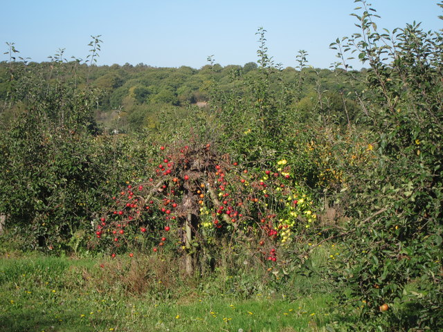
The wood is predominantly composed of broadleaf trees, such as oak, beech, and ash, which create a dense canopy that provides shade and shelter to the woodland floor. The undergrowth is characterized by ferns, bluebells, and wild garlic, creating a vibrant and colorful display during the spring and summer months.
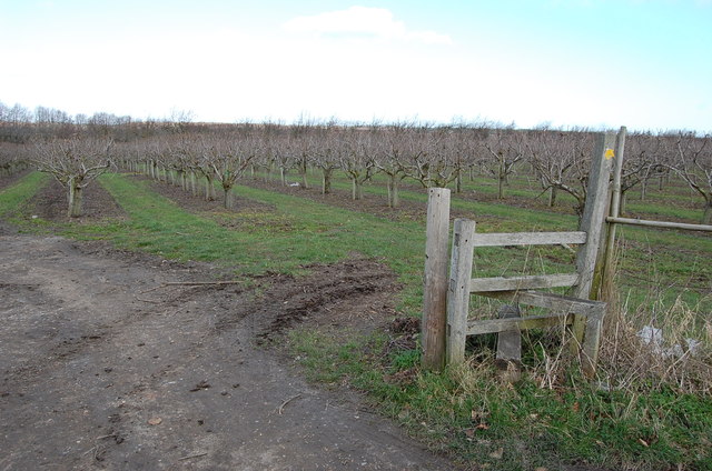
Howfield Wood is crisscrossed by a network of well-maintained footpaths, allowing visitors to explore its serene surroundings and discover its hidden treasures. The wood attracts many nature enthusiasts, walkers, and families who come to enjoy the peaceful atmosphere and immerse themselves in the beauty of the natural world.
The woodland is also home to a diverse range of wildlife. Birds such as woodpeckers, owls, and warblers can be spotted among the treetops, while deer, foxes, and squirrels roam the forest floor. The wood provides a rich habitat for a variety of insects, including butterflies and beetles.
In addition to its natural beauty, Howfield Wood has historical significance. It is believed that the wood has been a part of the landscape for centuries and has witnessed various changes over time. The wood is a testament to the rich cultural and environmental heritage of the region.
Overall, Howfield Wood is a captivating destination for nature lovers and those seeking tranquility. Its diverse ecosystems, scenic beauty, and historical significance make it a precious asset for the local community and a valuable natural resource for future generations to enjoy.
If you have any feedback on the listing, please let us know in the comments section below.
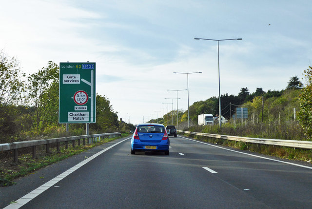
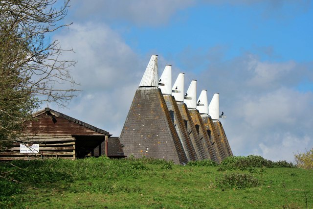
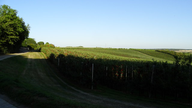
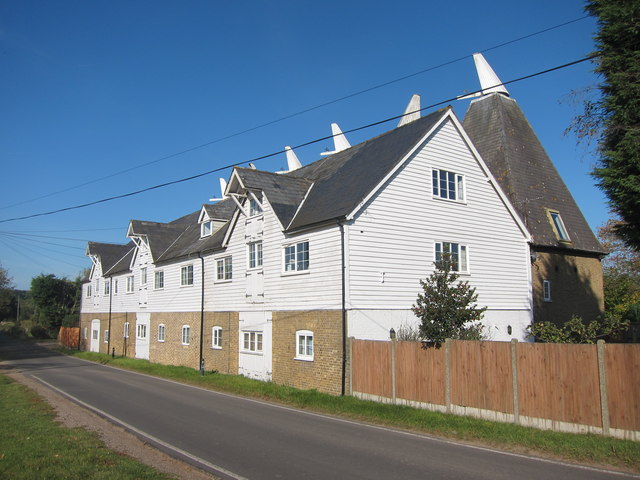
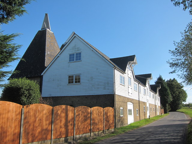
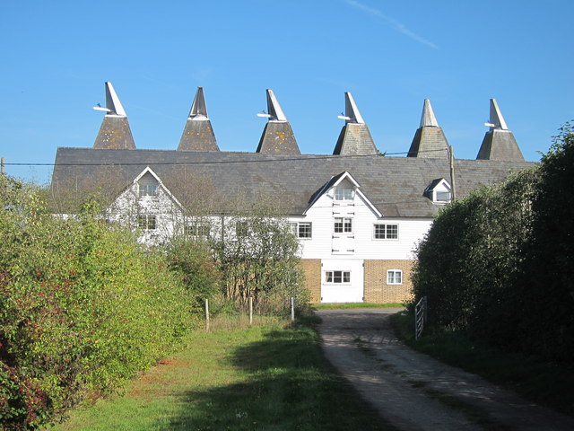
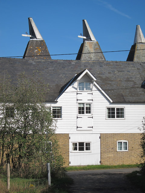
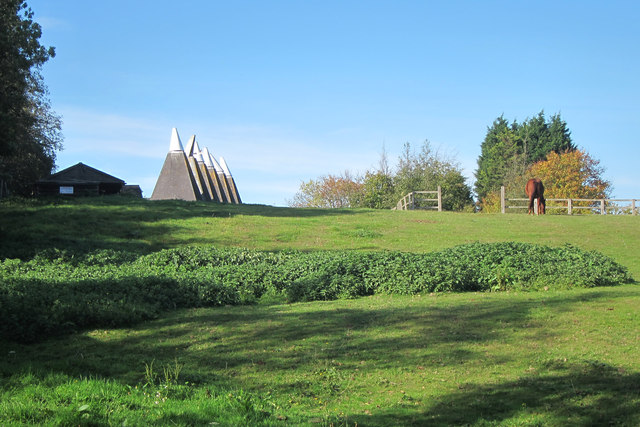
Howfield Wood Images
Images are sourced within 2km of 51.27415/1.0221146 or Grid Reference TR1057. Thanks to Geograph Open Source API. All images are credited.


Howfield Wood is located at Grid Ref: TR1057 (Lat: 51.27415, Lng: 1.0221146)
Administrative County: Kent
District: Canterbury
Police Authority: Kent
What 3 Words
///homework.exploring.smoking. Near Chartham, Kent
Nearby Locations
Related Wikis

No Man's Orchard
No Man's Orchard is a 4.1-hectare (10-acre) Local Nature Reserve west of Canterbury in Kent. It is owned by Chartham and Harbledown Parish Councils and...

Bigbury Camp
Bigbury Camp (formerly Bigberry Camp) is a univallate hill fort in the parish of Harbledown and Rough Common in Kent in England. The fort is a Scheduled...

Upper Harbledown
Upper Harbledown is a village in Harbledown and Rough Common civil parish about 2 miles (3 km) west of Canterbury, Kent, England. The population is roughly...

South Blean
South Blean is a 329-hectare (810-acre) nature reserve near Chartham Hatch, west of Canterbury in Kent. It is owned and managed by the Kent Wildlife Trust...

Chartham
Chartham is a village and civil parish in the Canterbury district of Kent, England. It is situated on the Ashford side of the city, and is in the North...

Chartham railway station
Chartham railway station is in Chartham, Kent, on the Ashford to Ramsgate line. The station, and all trains serving it, is operated by Southeastern....
Church of St Mary, Chartham
St Mary's Church is in the village of Chartham, Kent, England. It is an active Anglican parish church in the Diocese of Canterbury. Constructed between...
Thanington
Thanington is a civil parish on the west edge of Canterbury, Kent, United Kingdom. It extends to the south-west of A2 from Wincheap to the Milton Bridge...
Nearby Amenities
Located within 500m of 51.27415,1.0221146Have you been to Howfield Wood?
Leave your review of Howfield Wood below (or comments, questions and feedback).